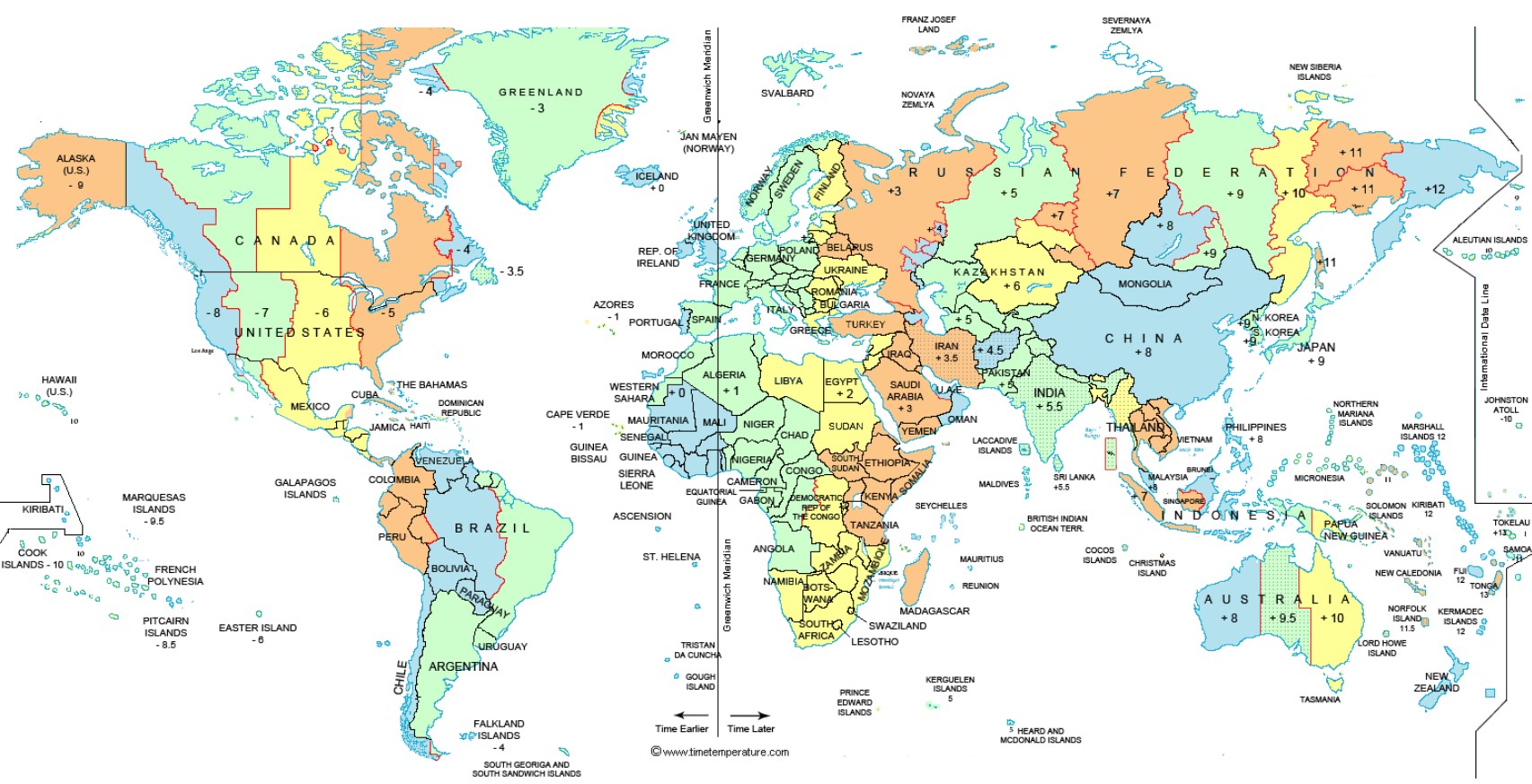
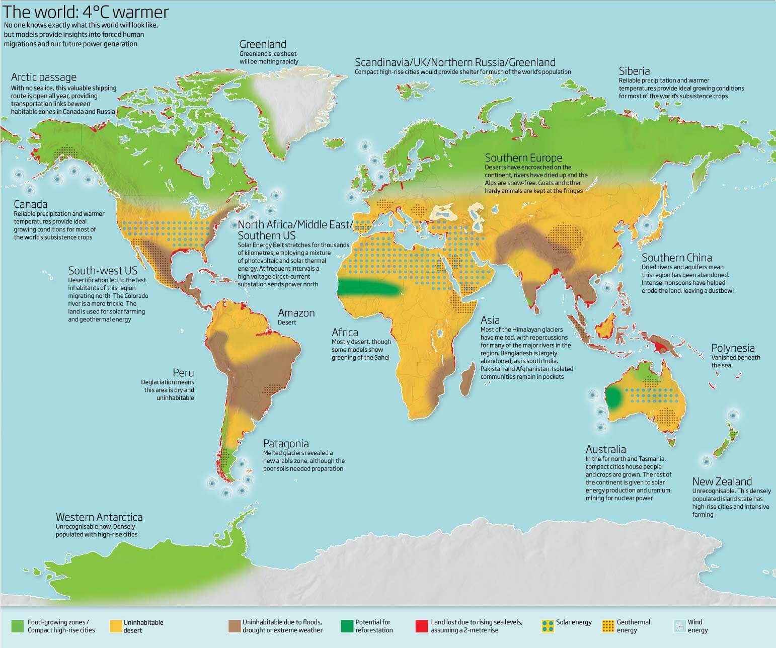
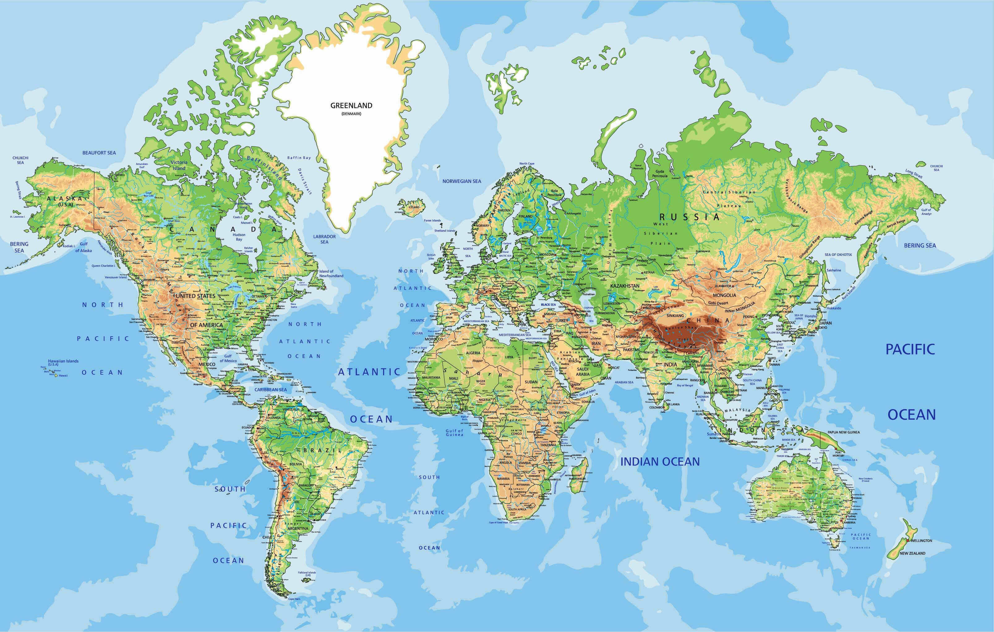
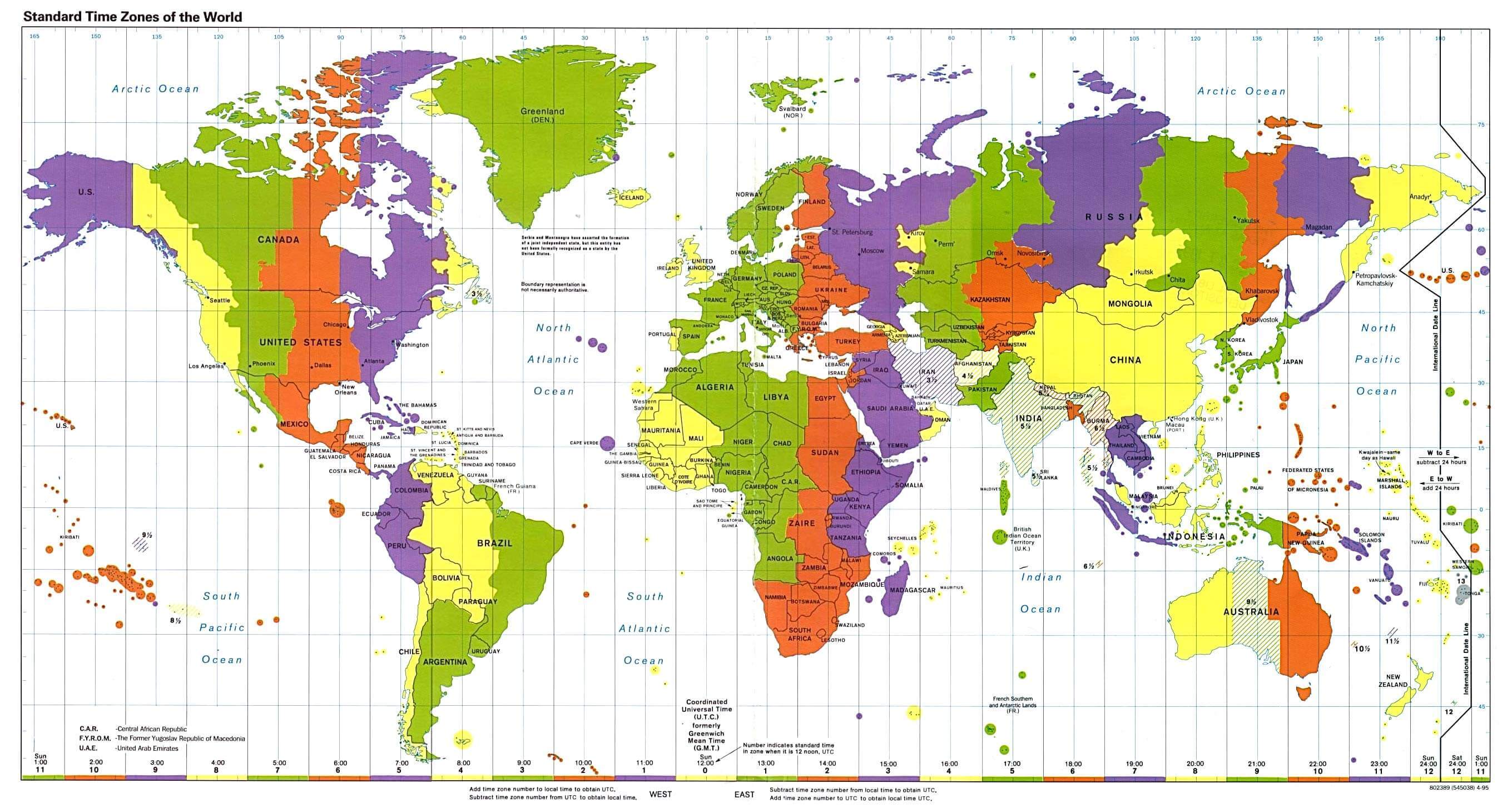
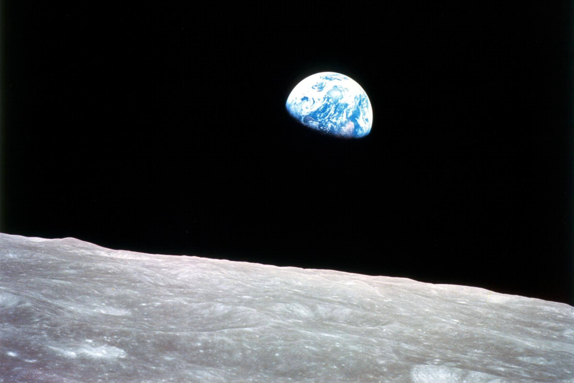
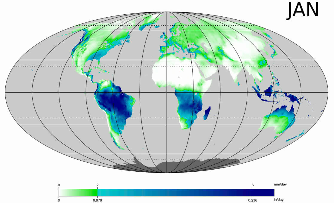
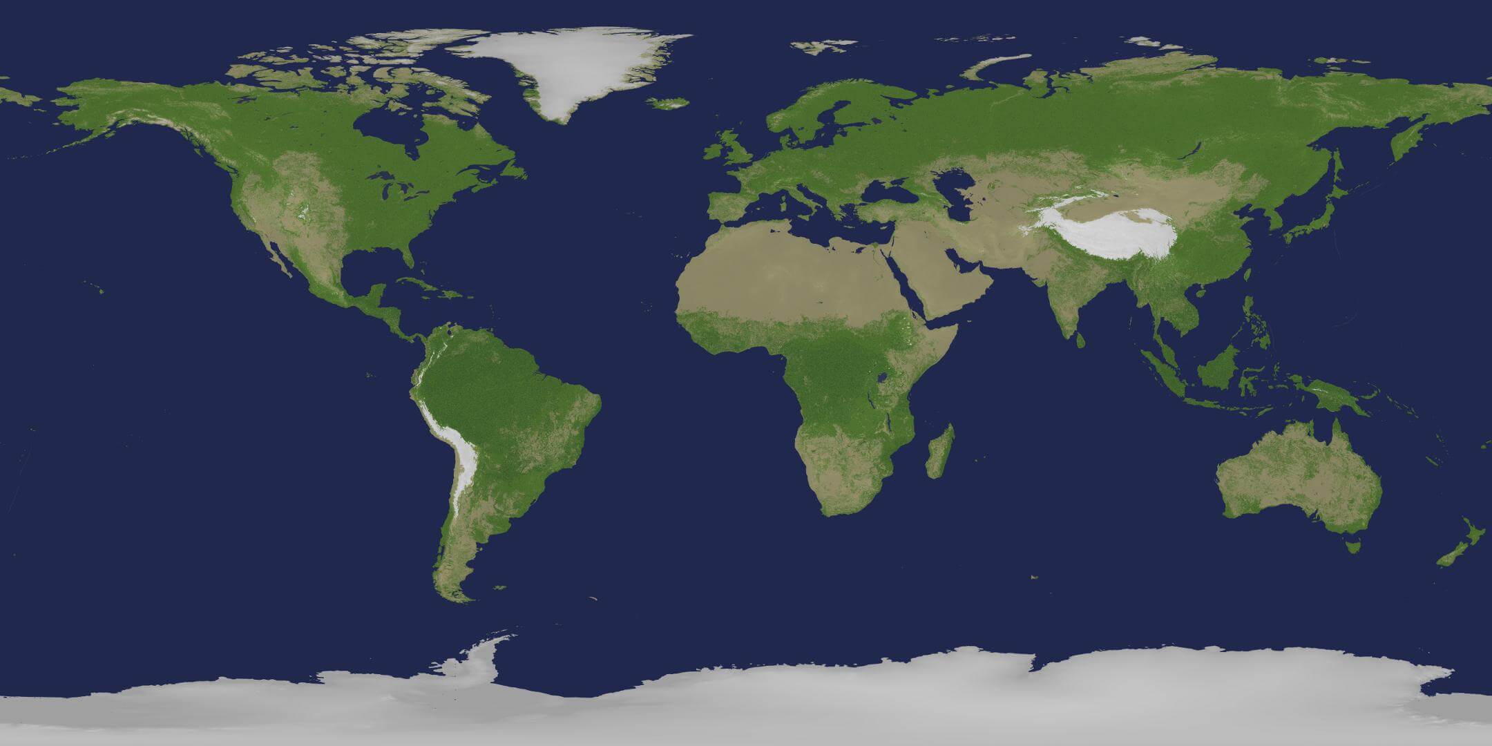
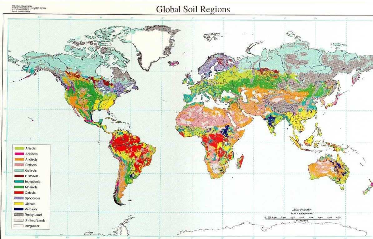
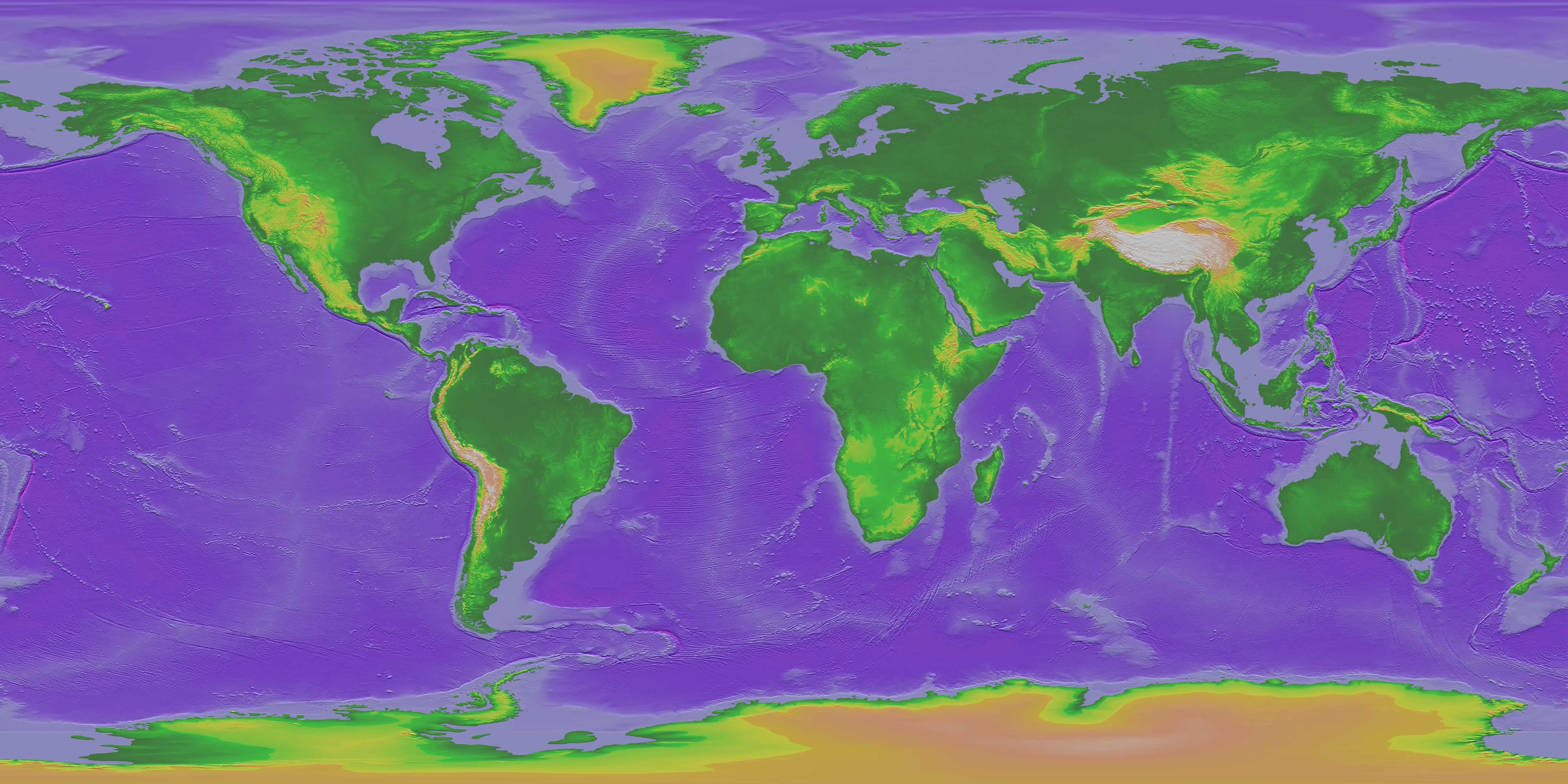
World Map and the World Satellite Images
A collection of the world maps, World political map, World map, world countries, Earth satellite images, old map of the World, world physical maps, time zone and more maps.
The World Map for free Download
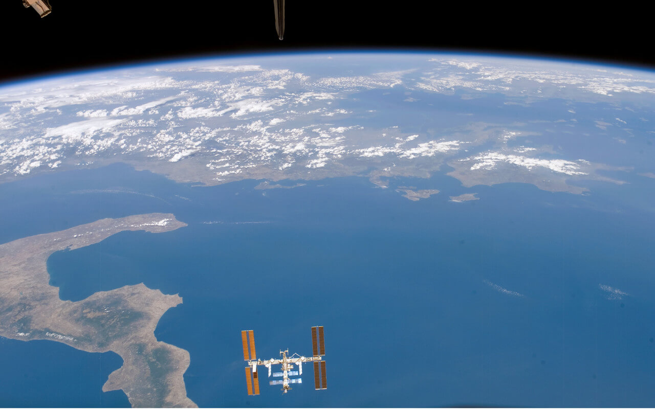
World Map & World Satellite Images
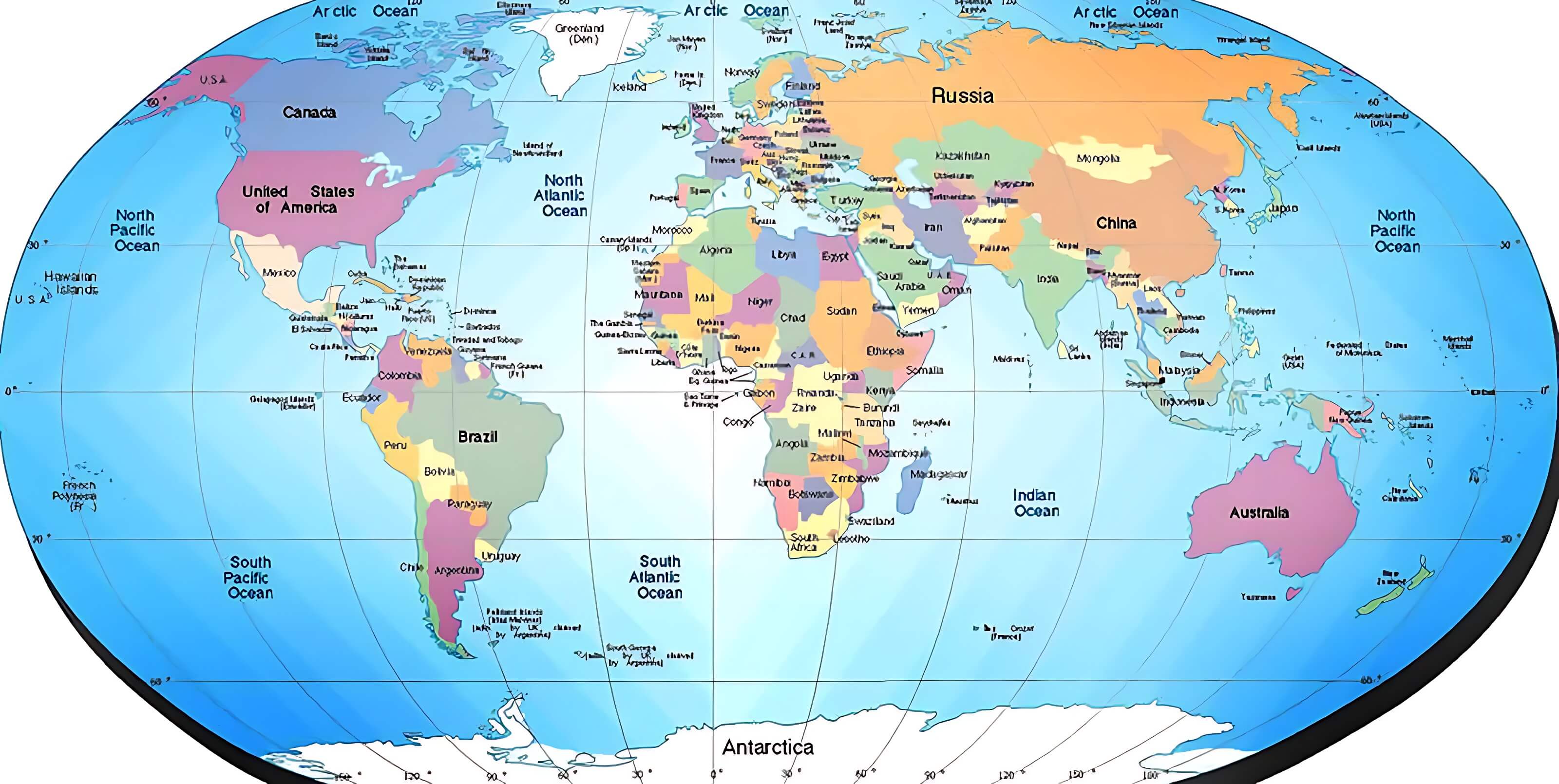
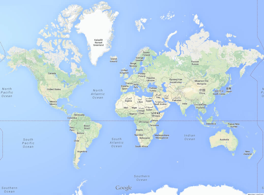
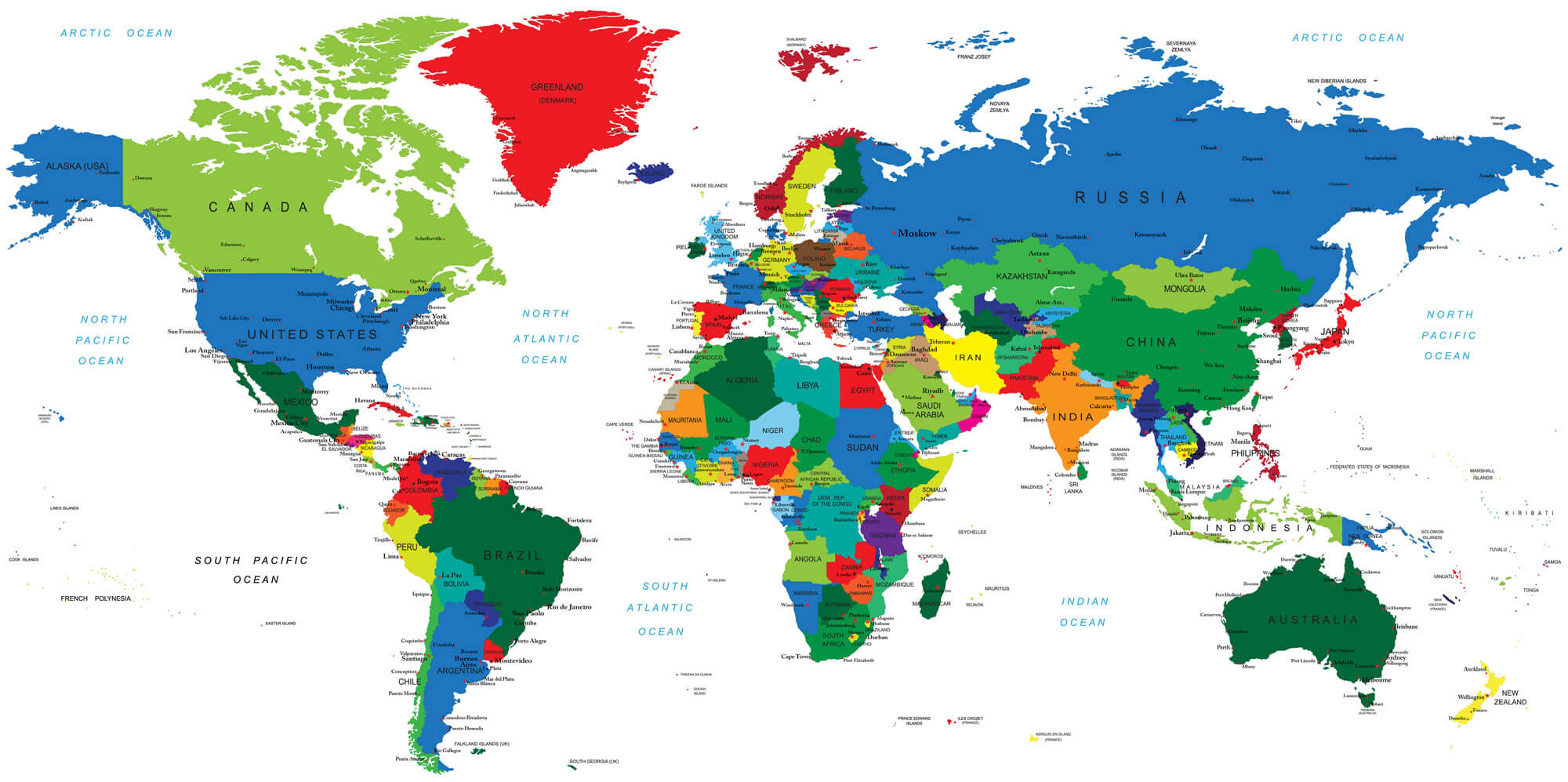
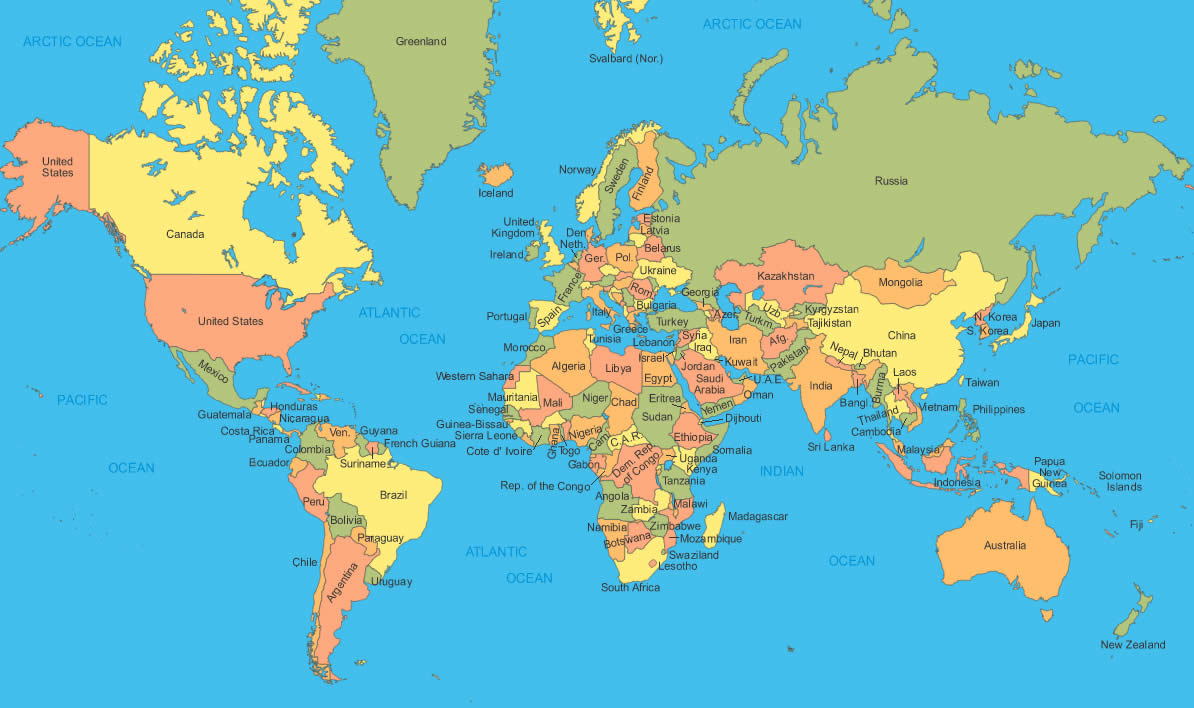
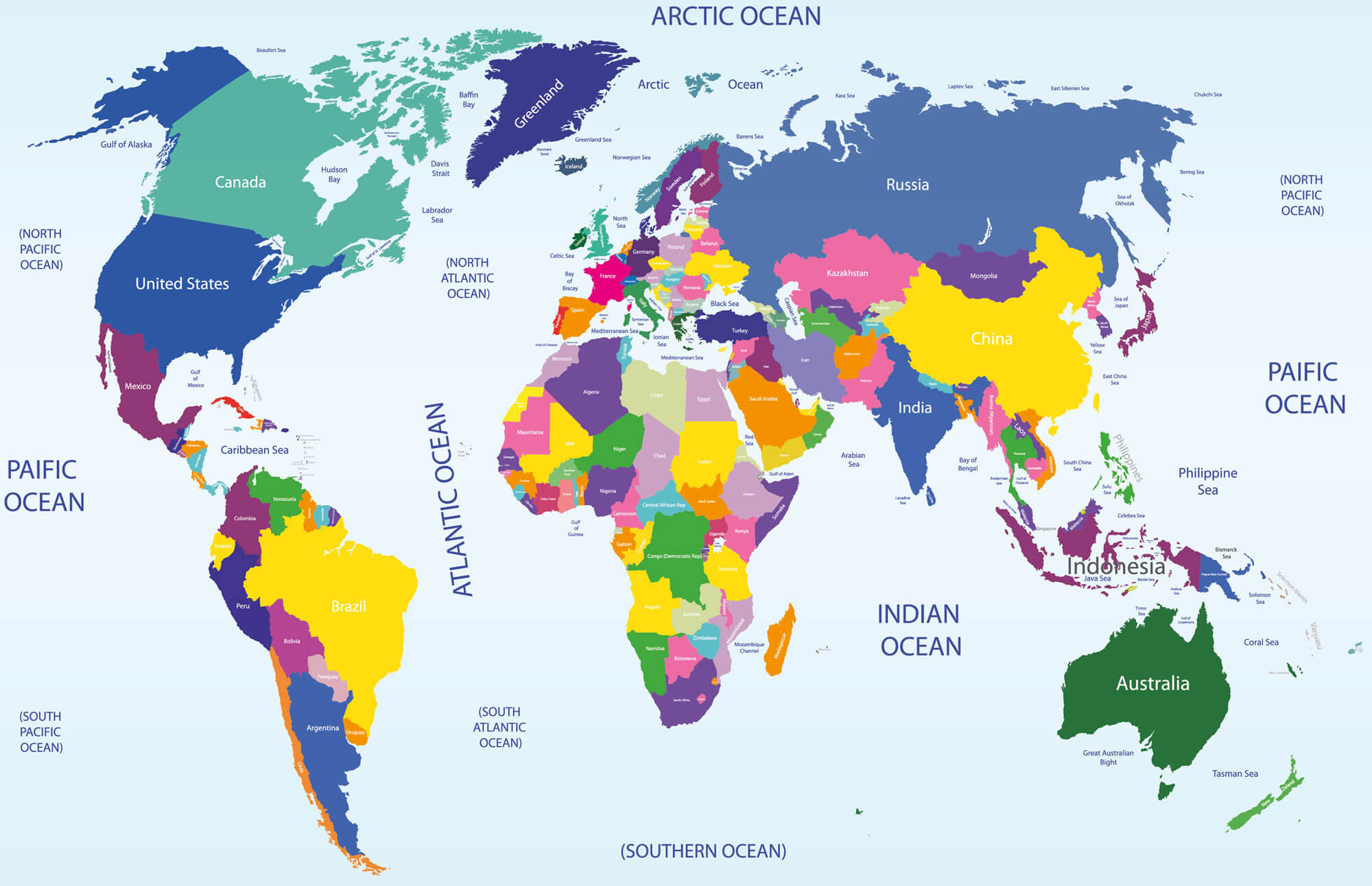
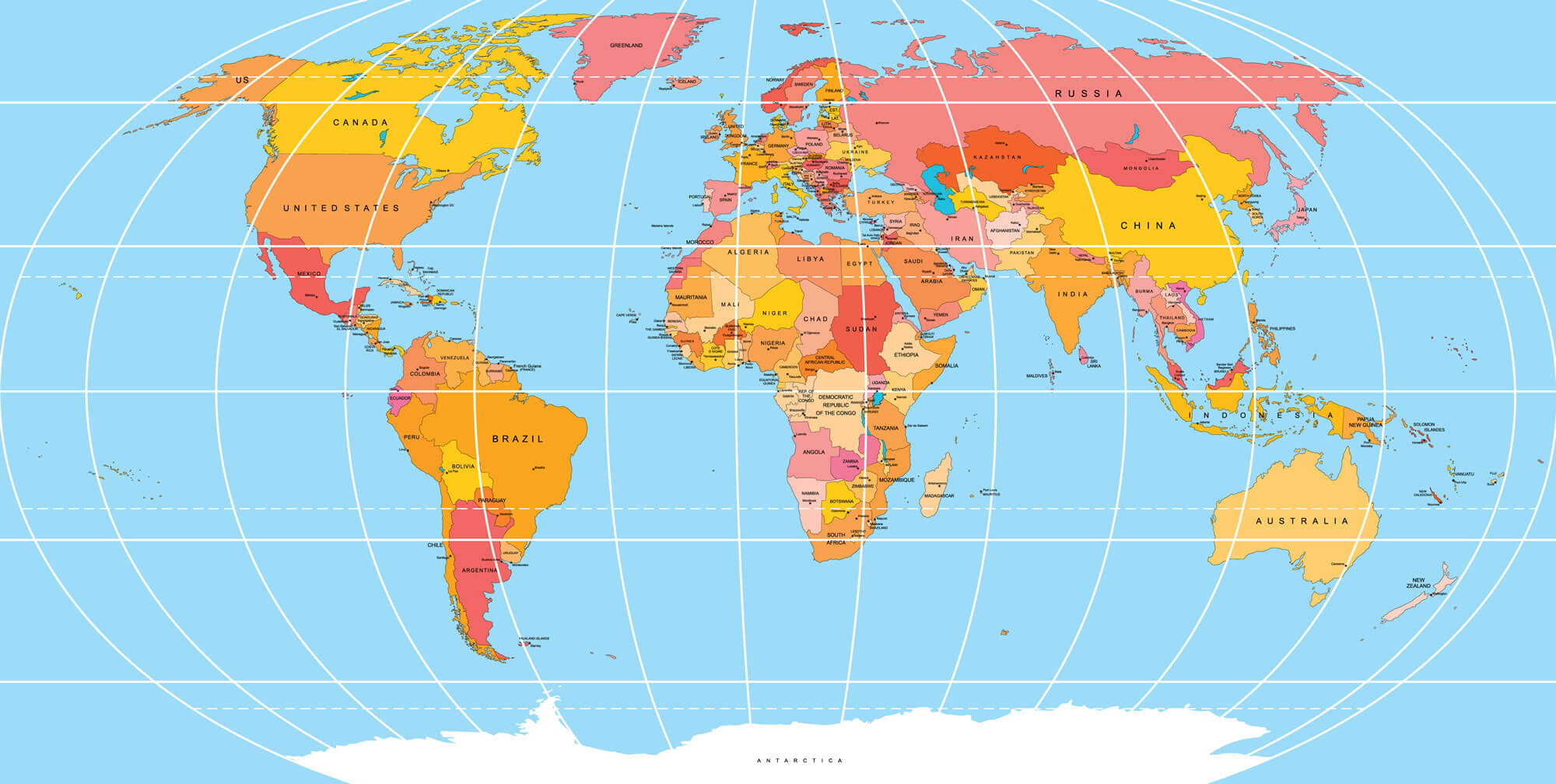
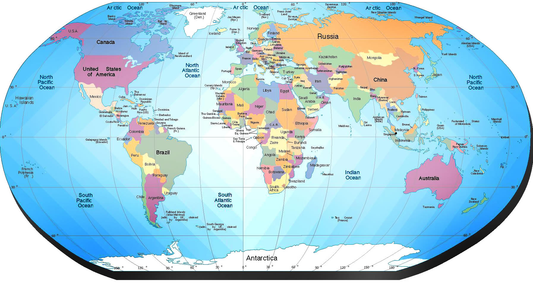
Clickable World Map with Countries
Use this interactive world map to explore countries around the globe with ease. Simply move your mouse over any country to highlight it and view its name, then click to be directed to that country's dedicated map page. This clickable map makes it easy to navigate between countries, discover detailed maps, and access geographic information quickly
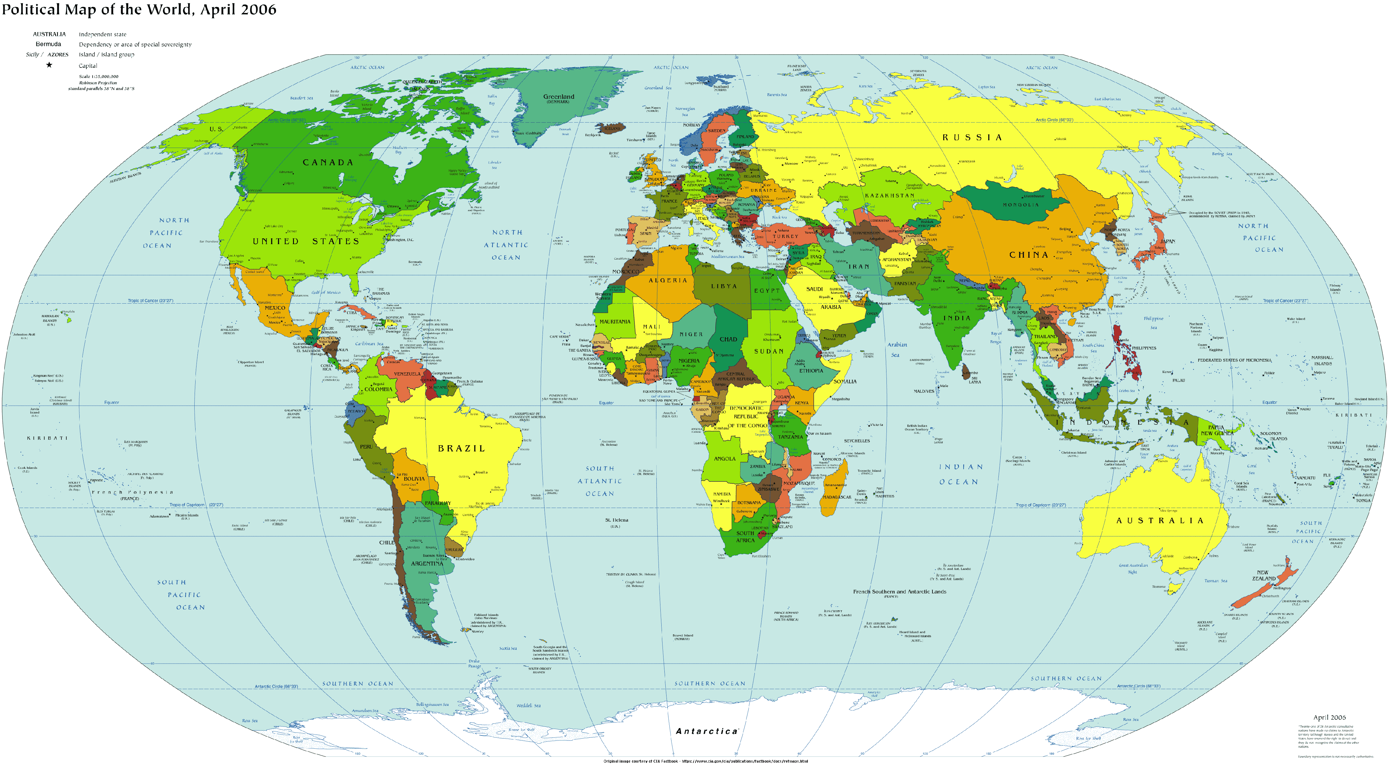
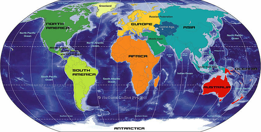
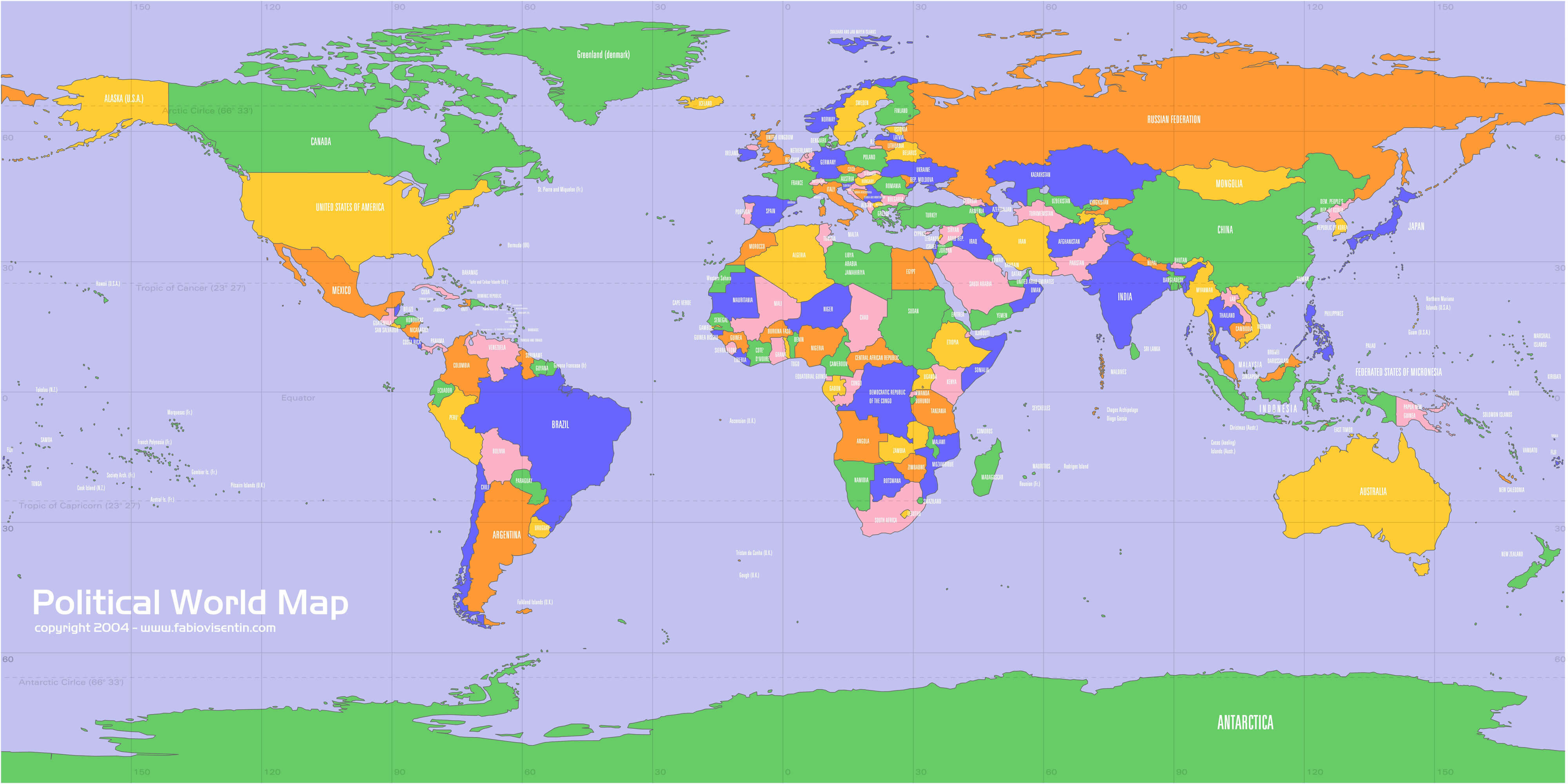
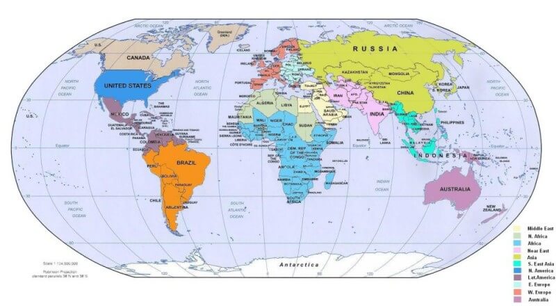
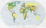
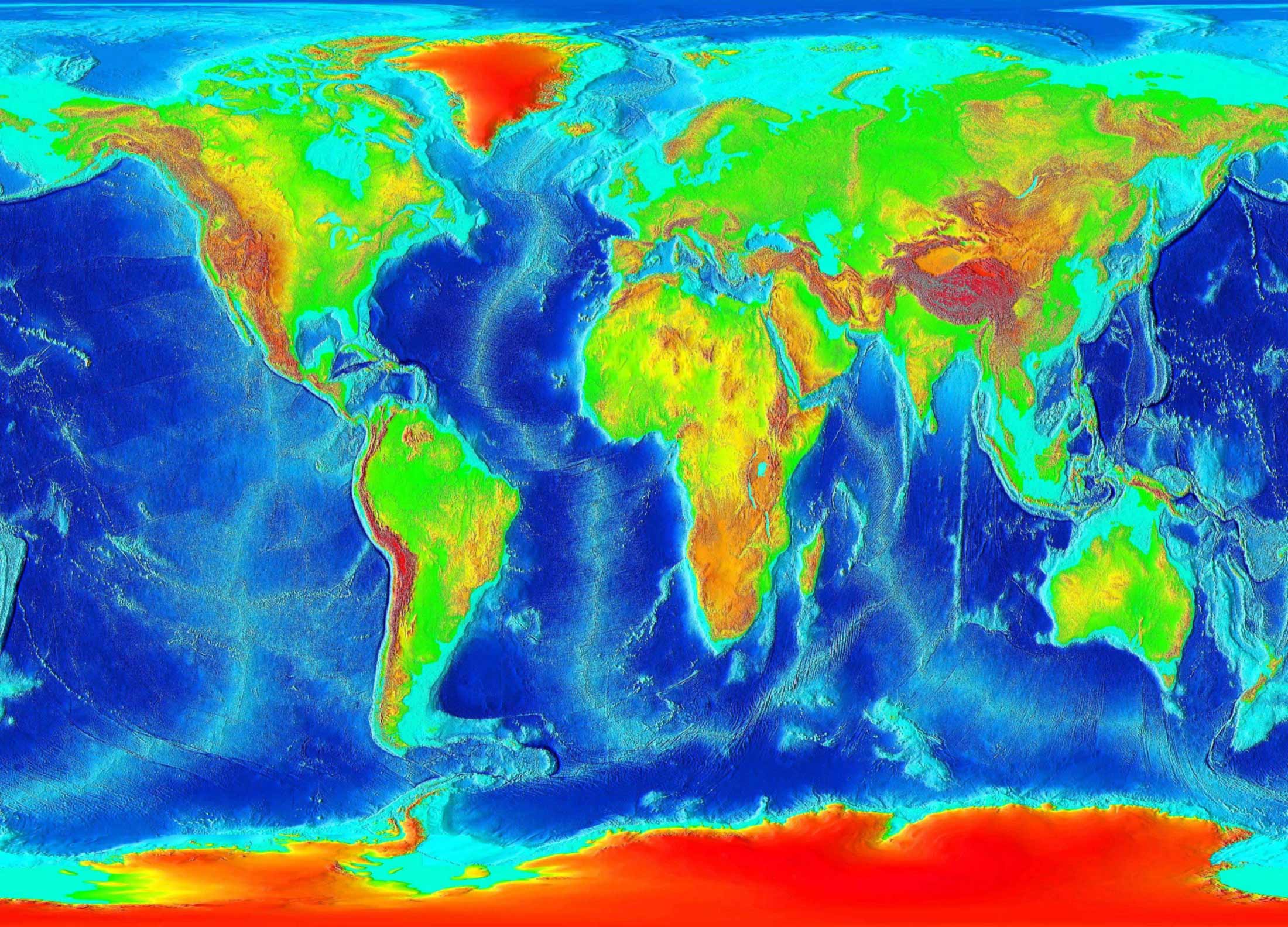
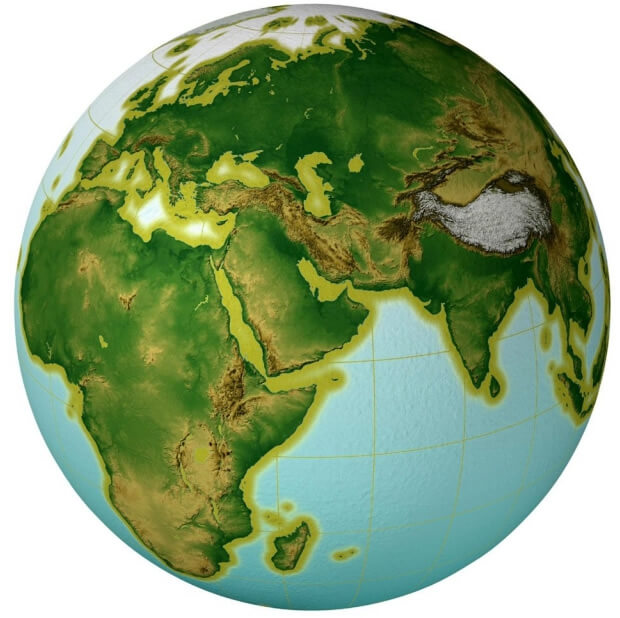
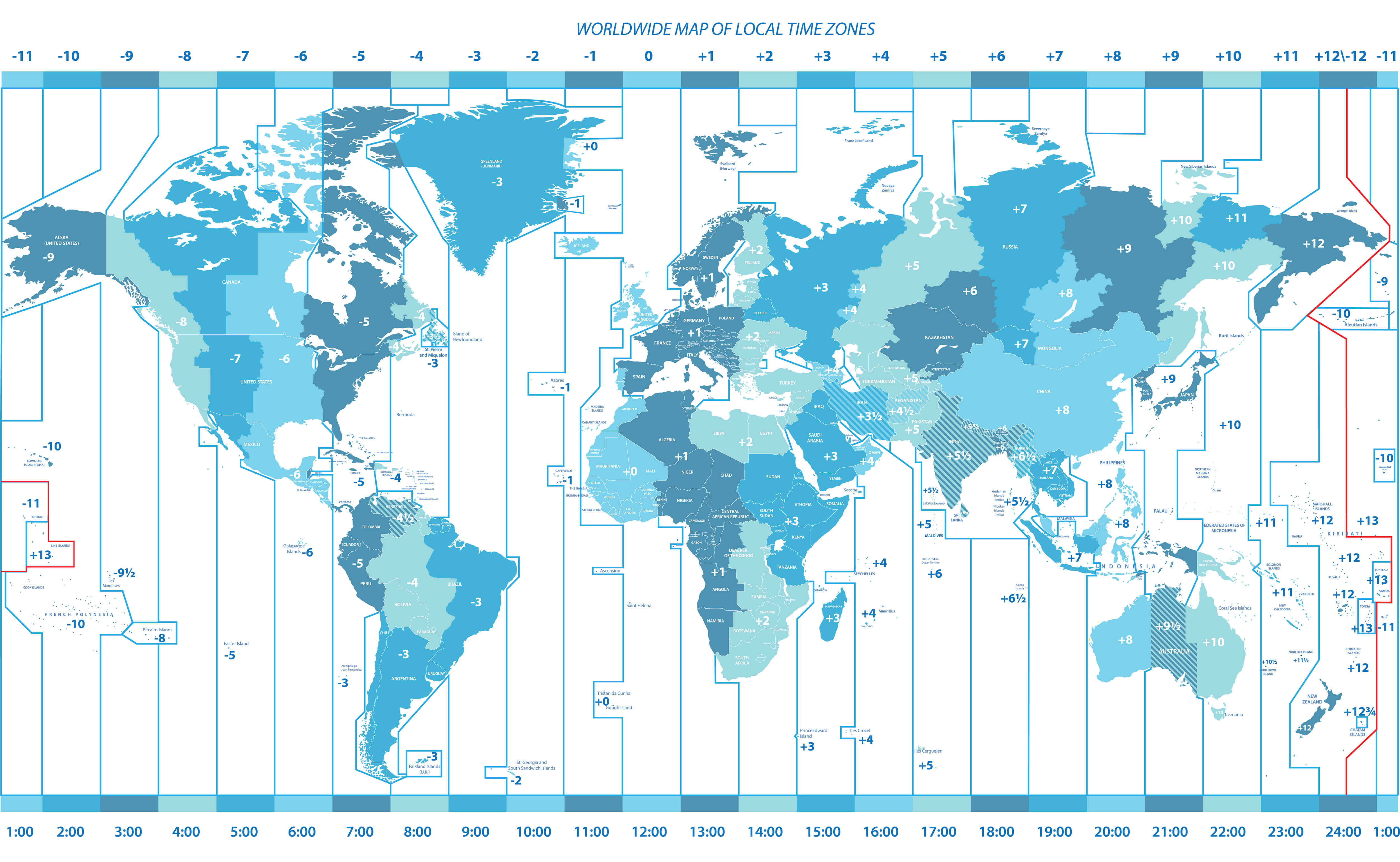
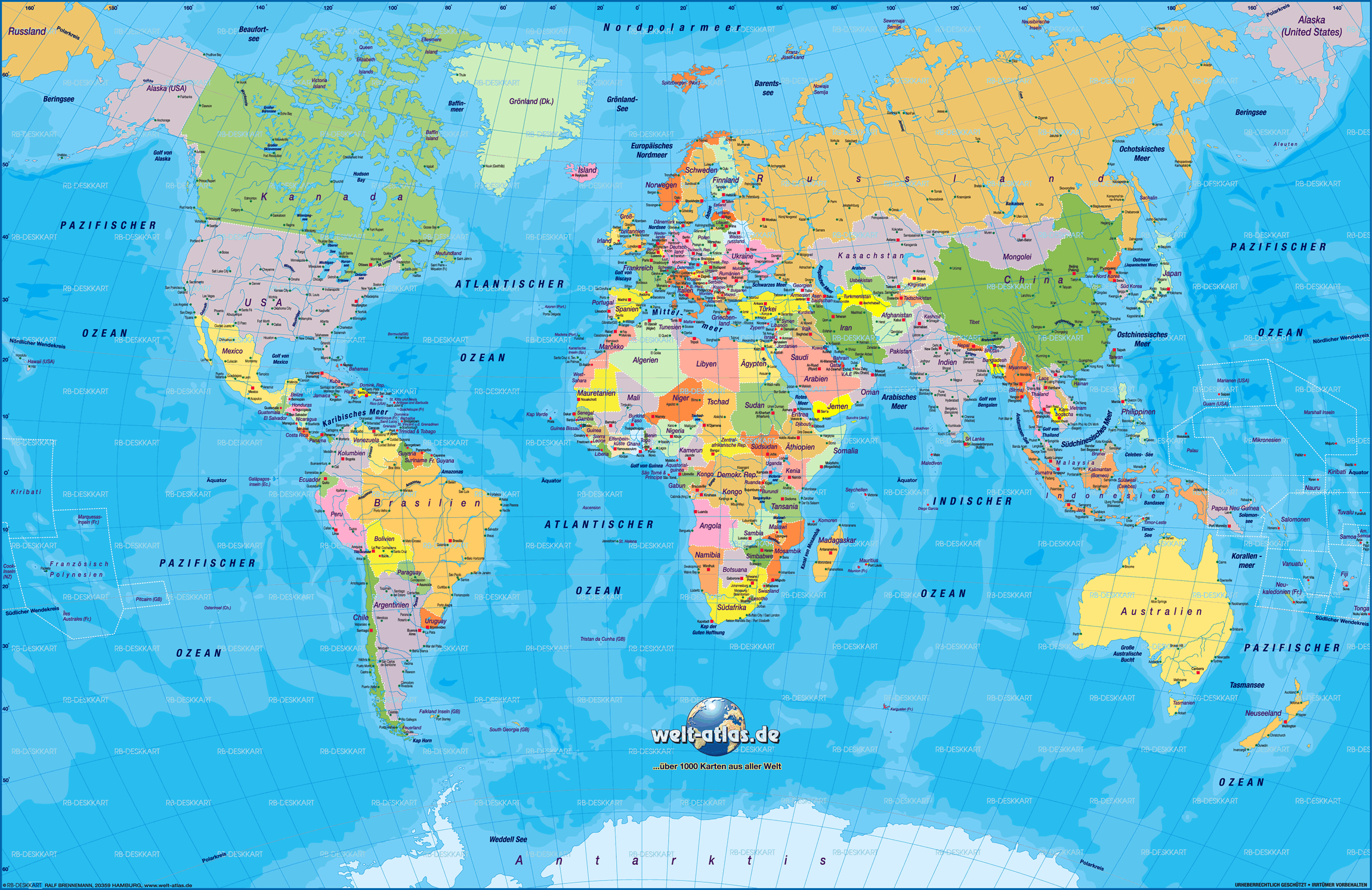
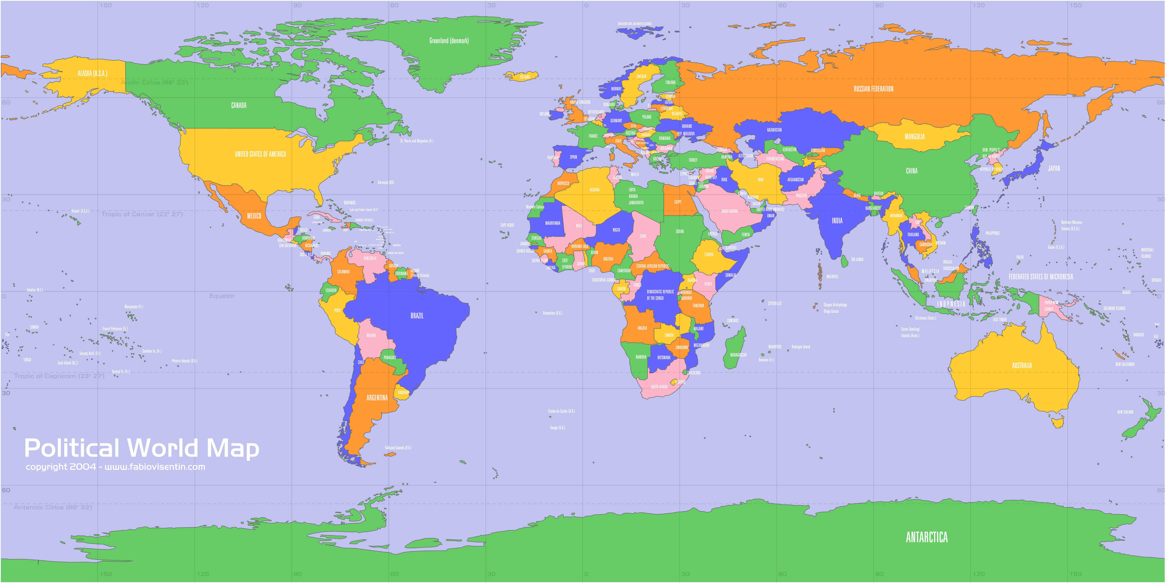
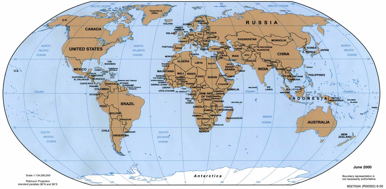
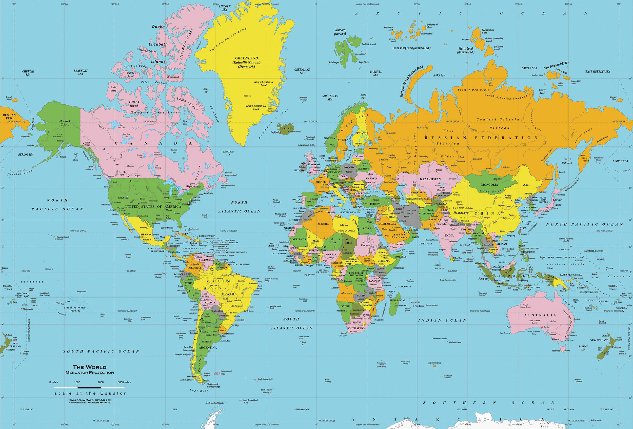
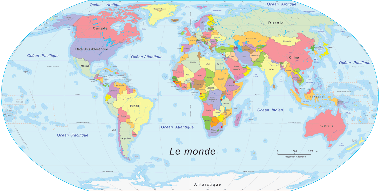
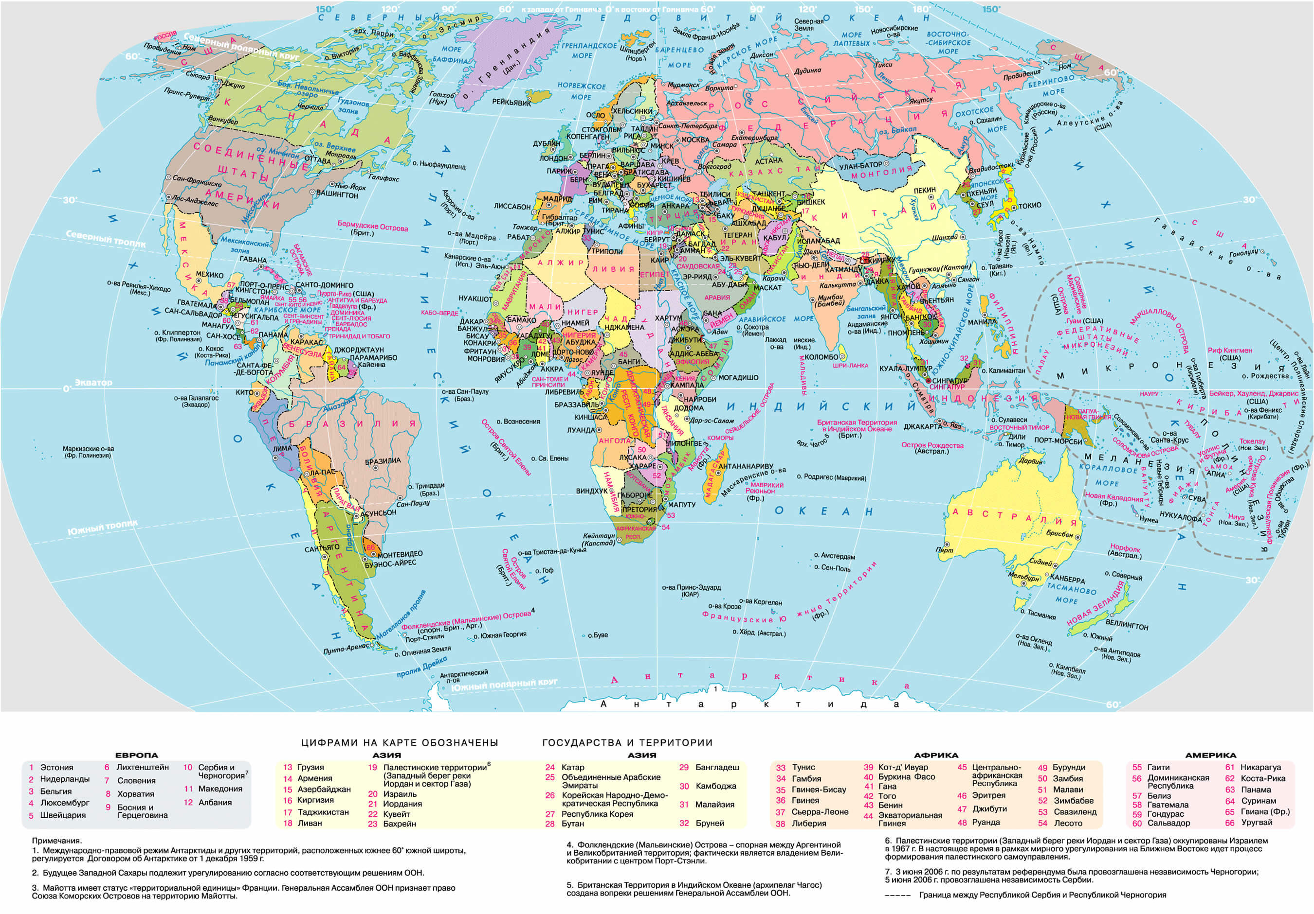
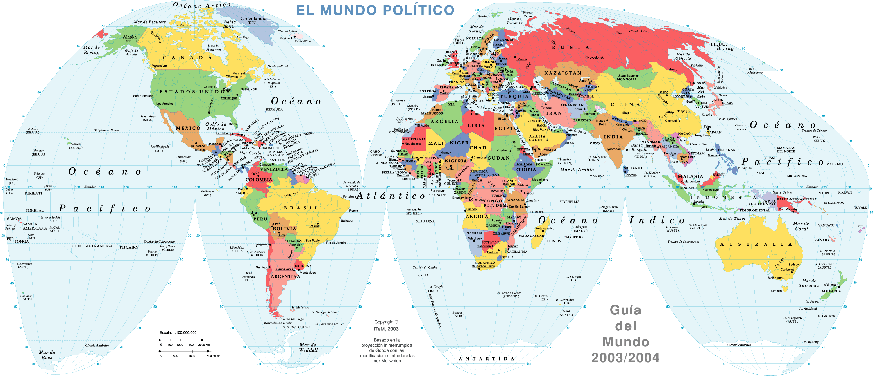
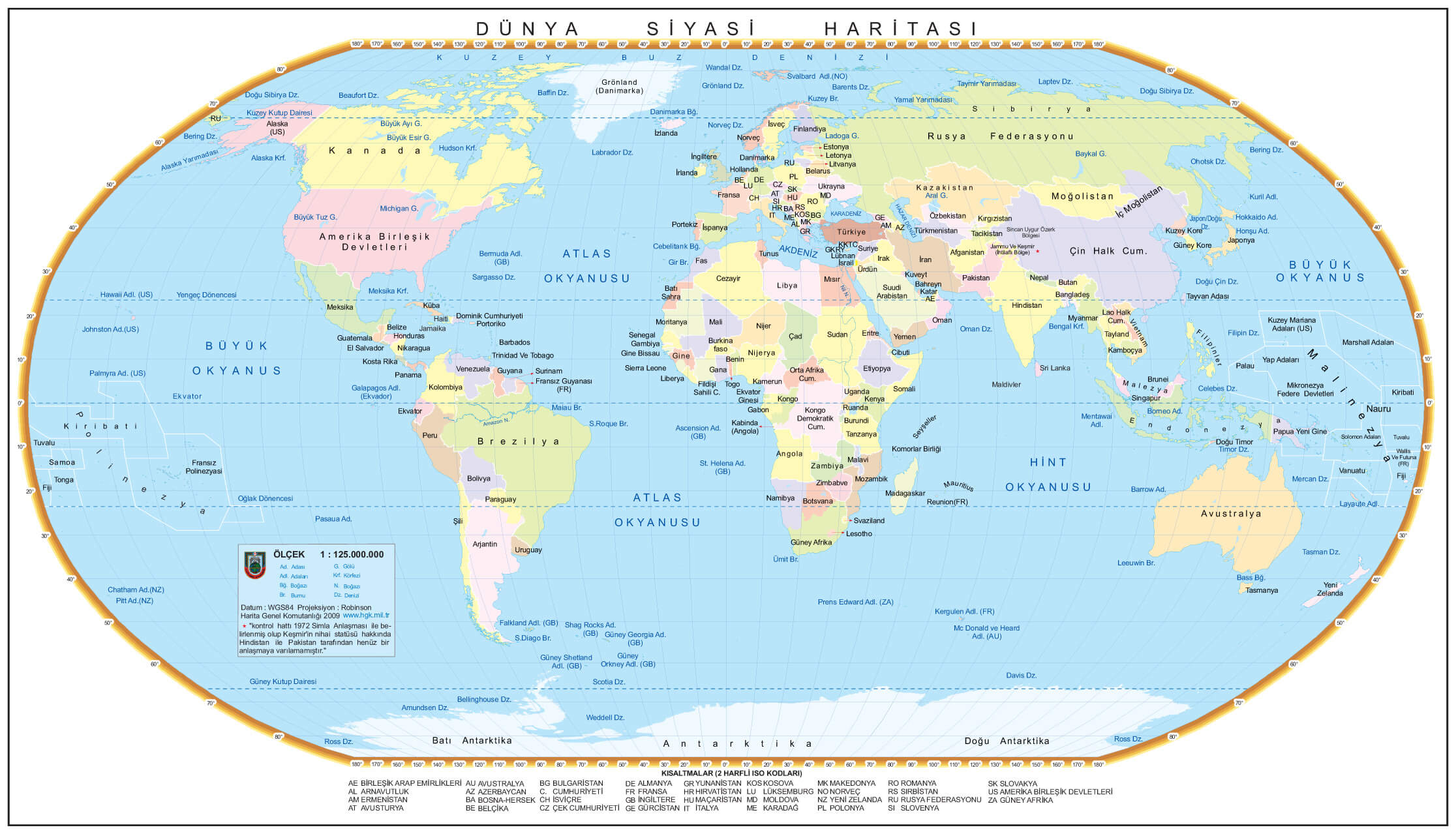
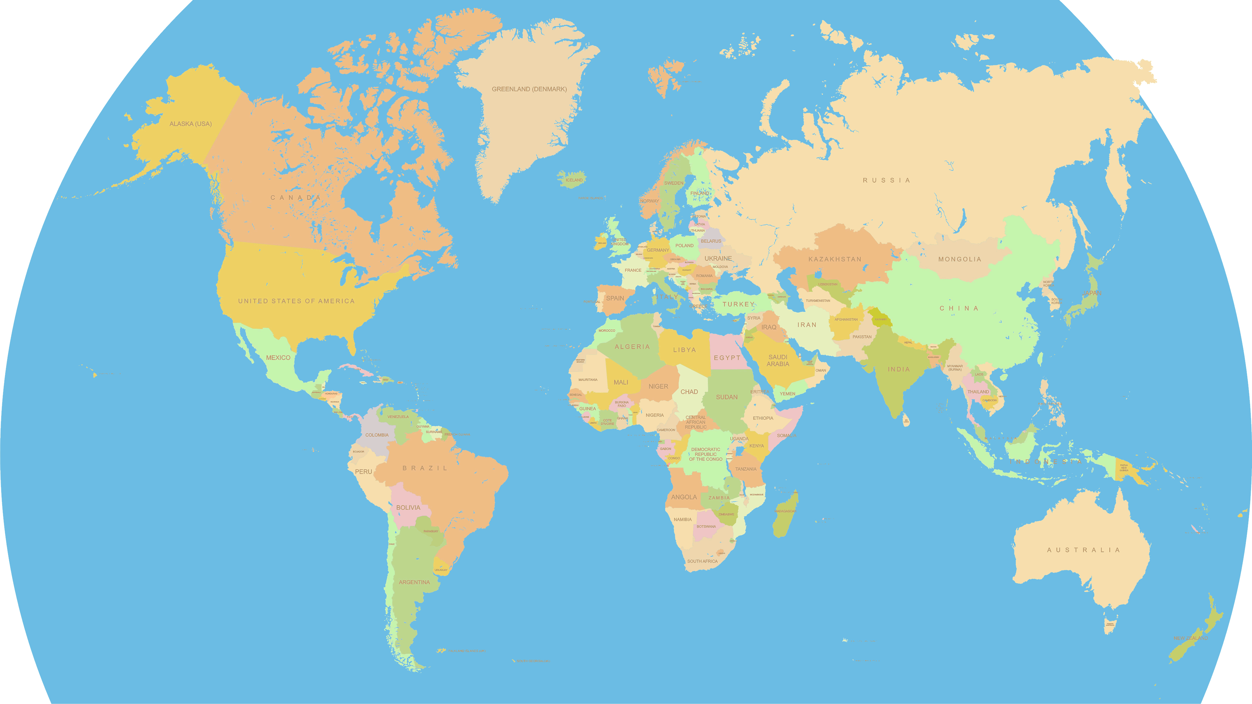
MAP OF THE WORLD
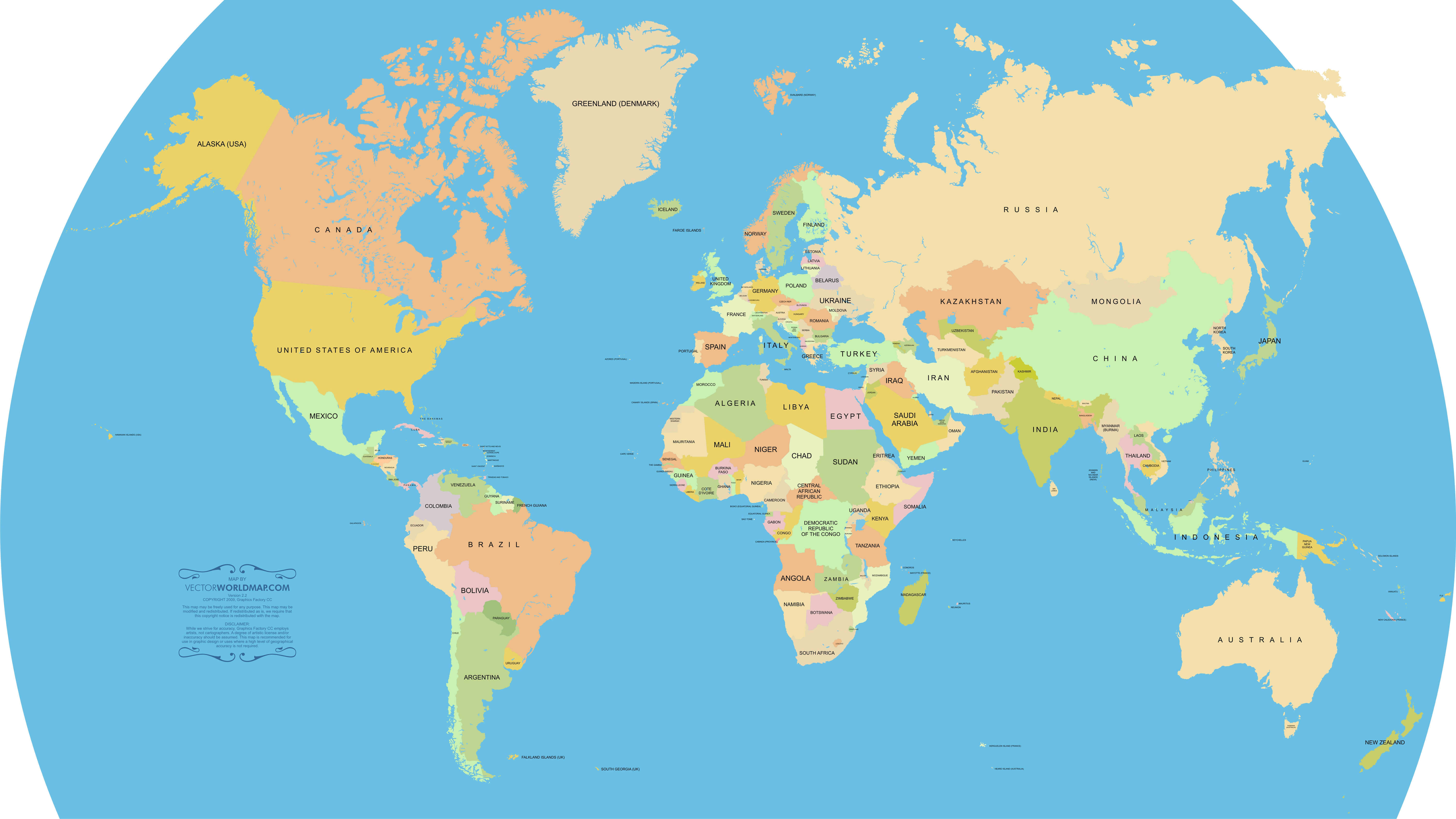
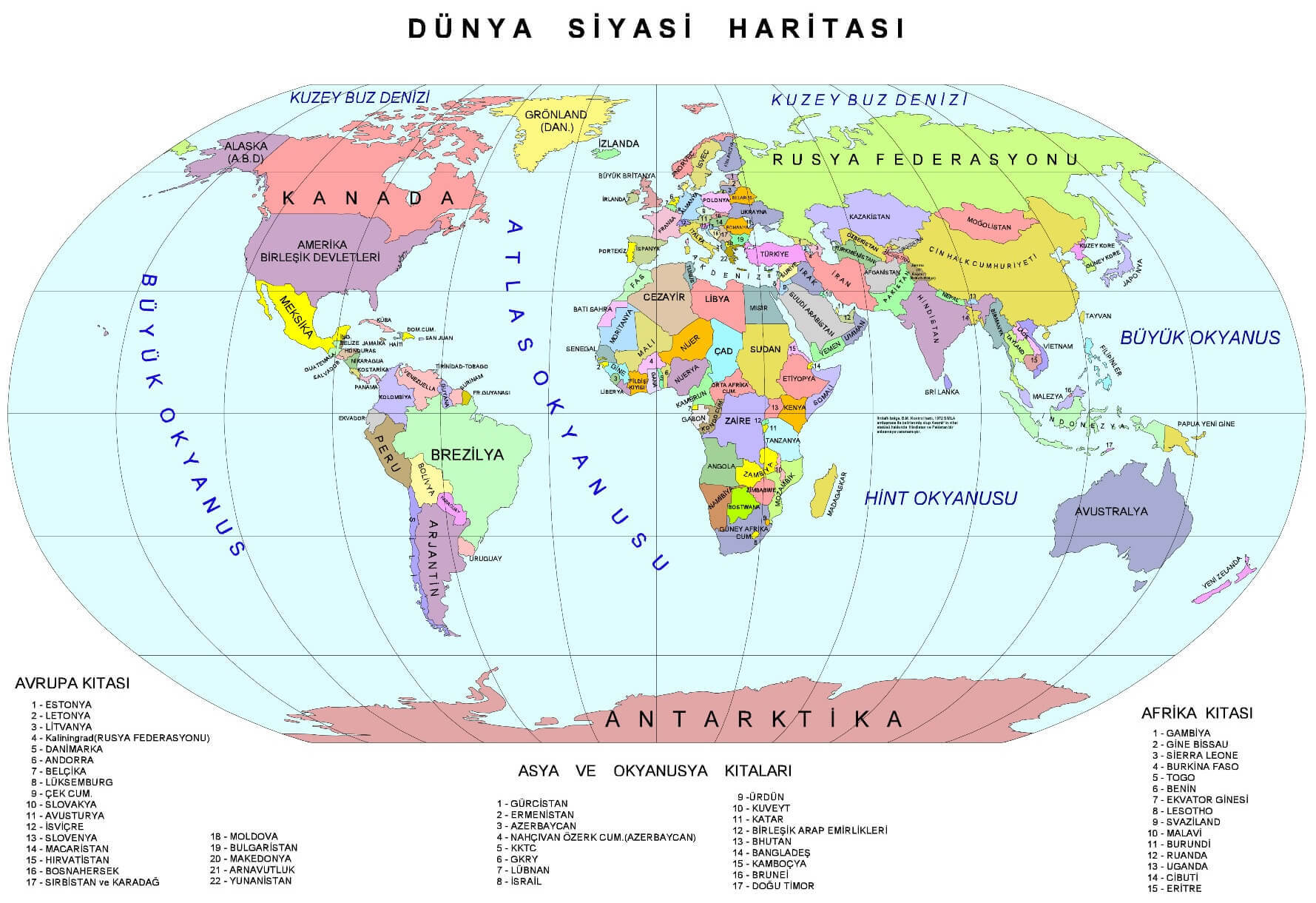
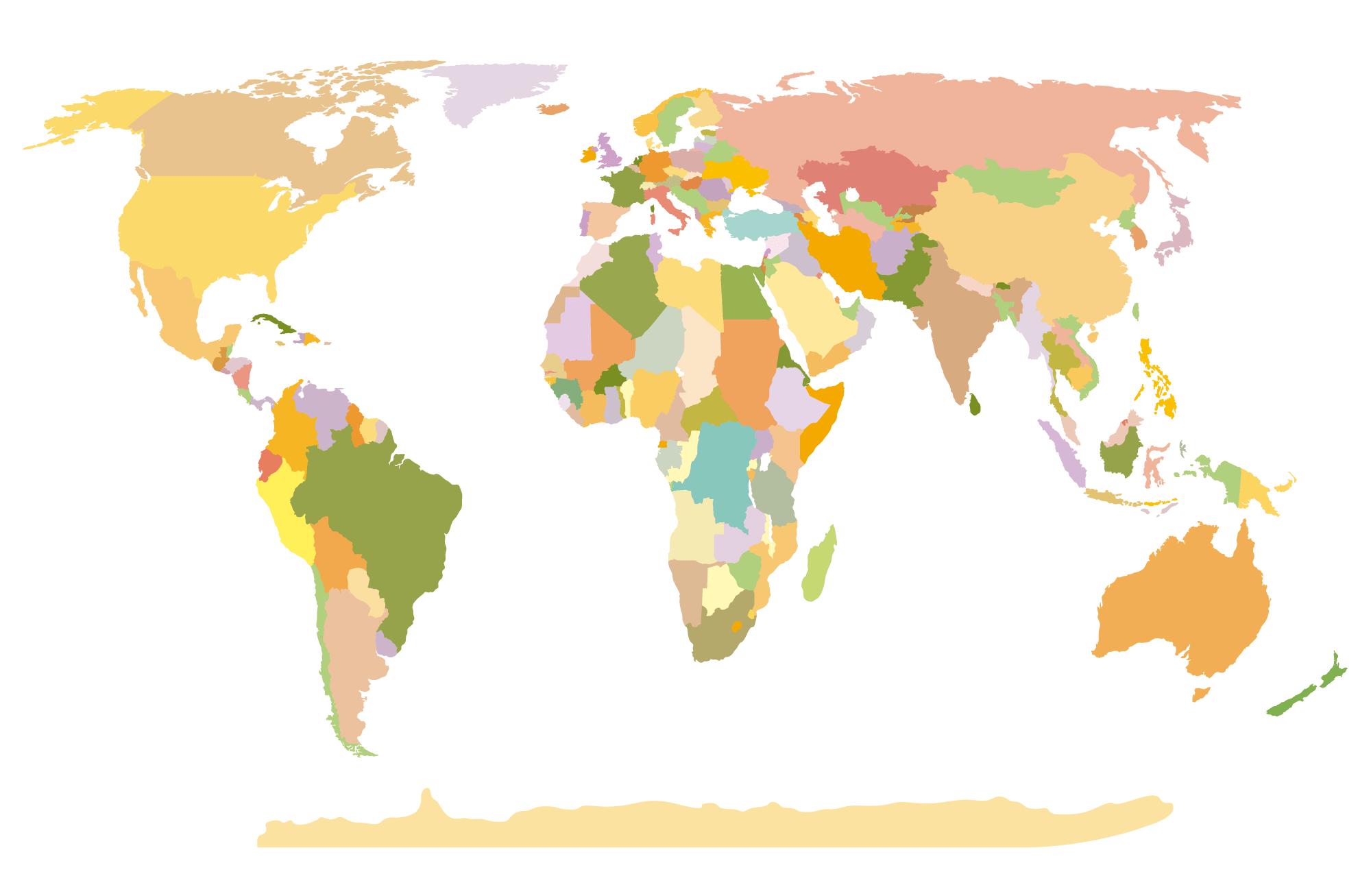
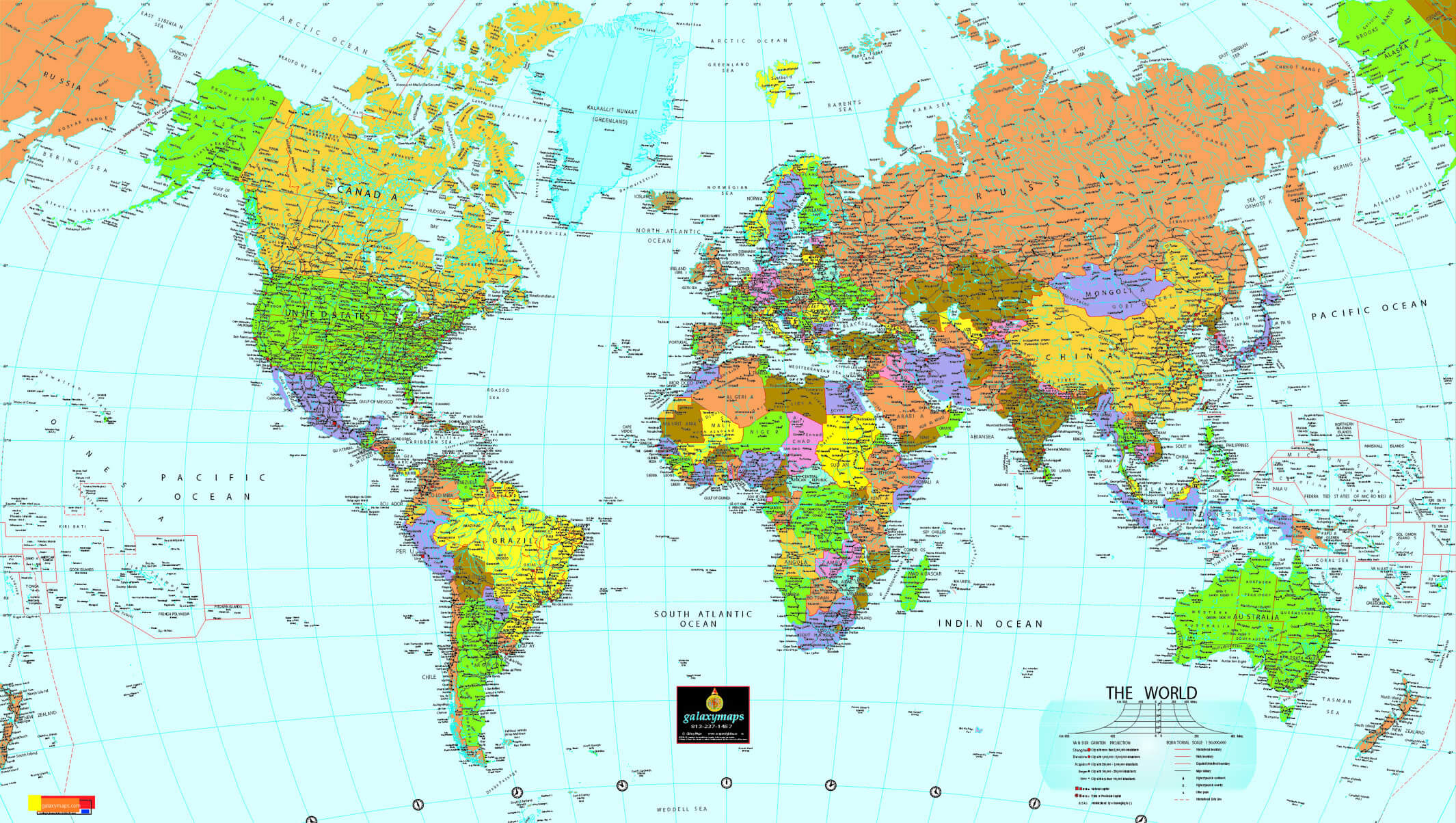
WORLD VECTOREL MAP
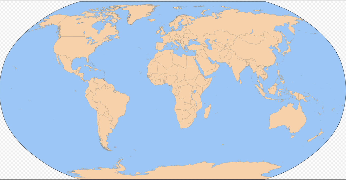
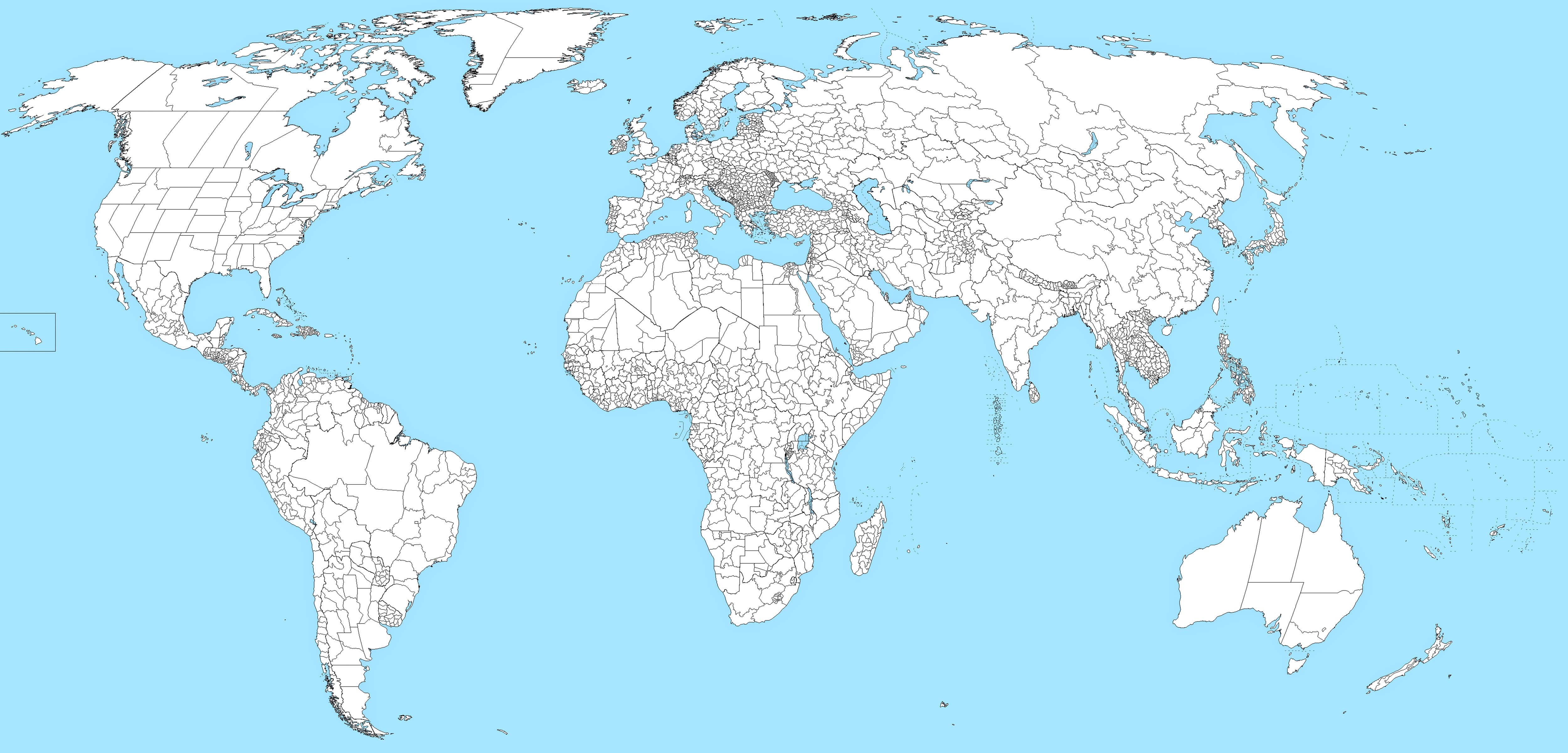
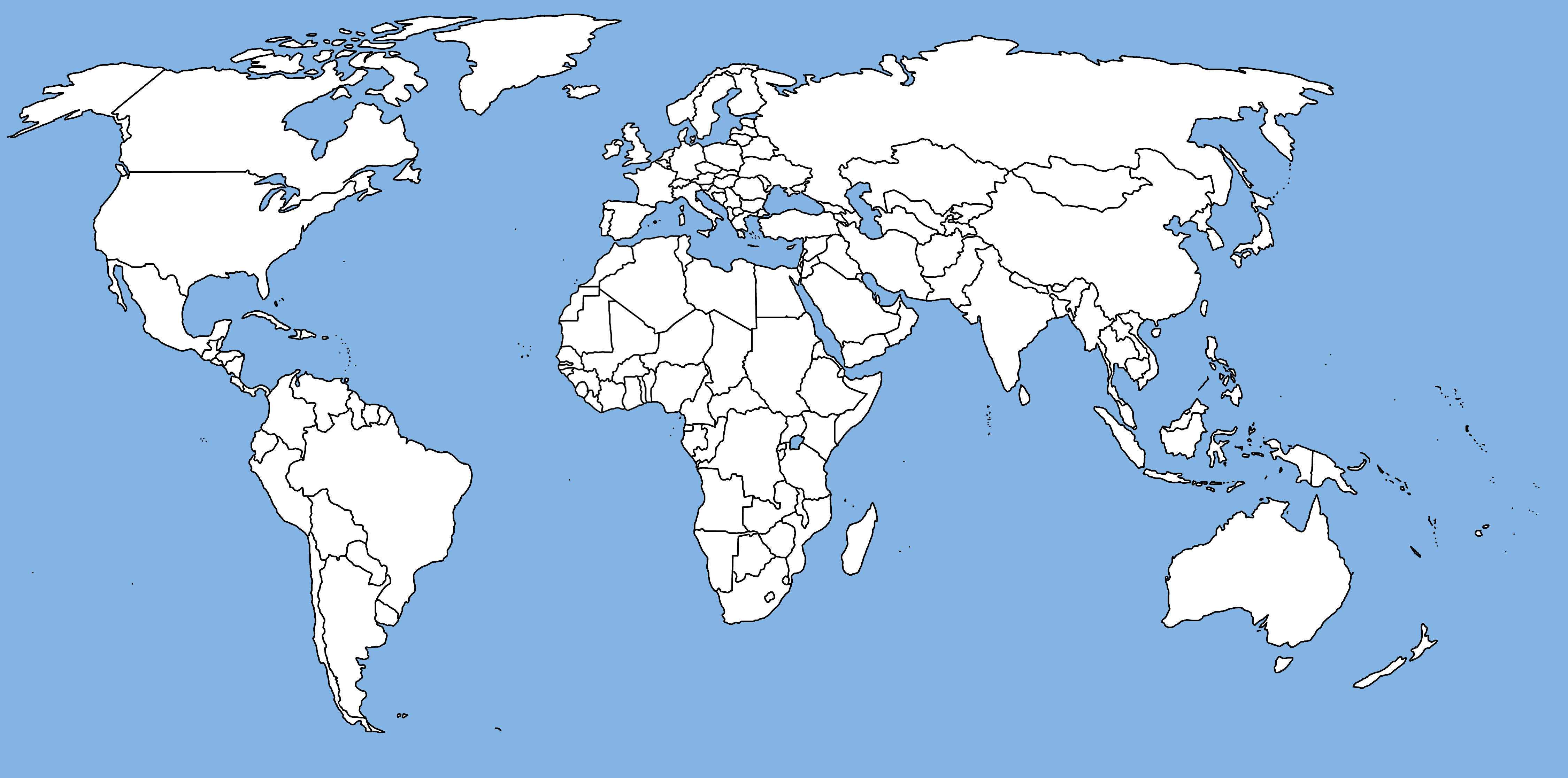
WORLD COLORED BLANK MAP
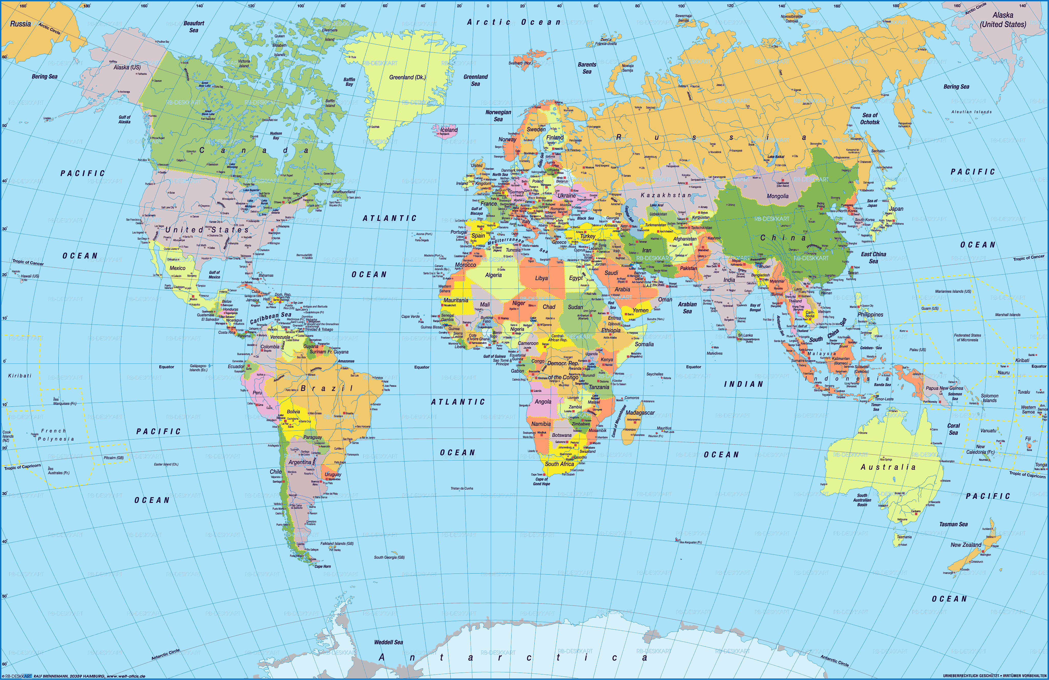
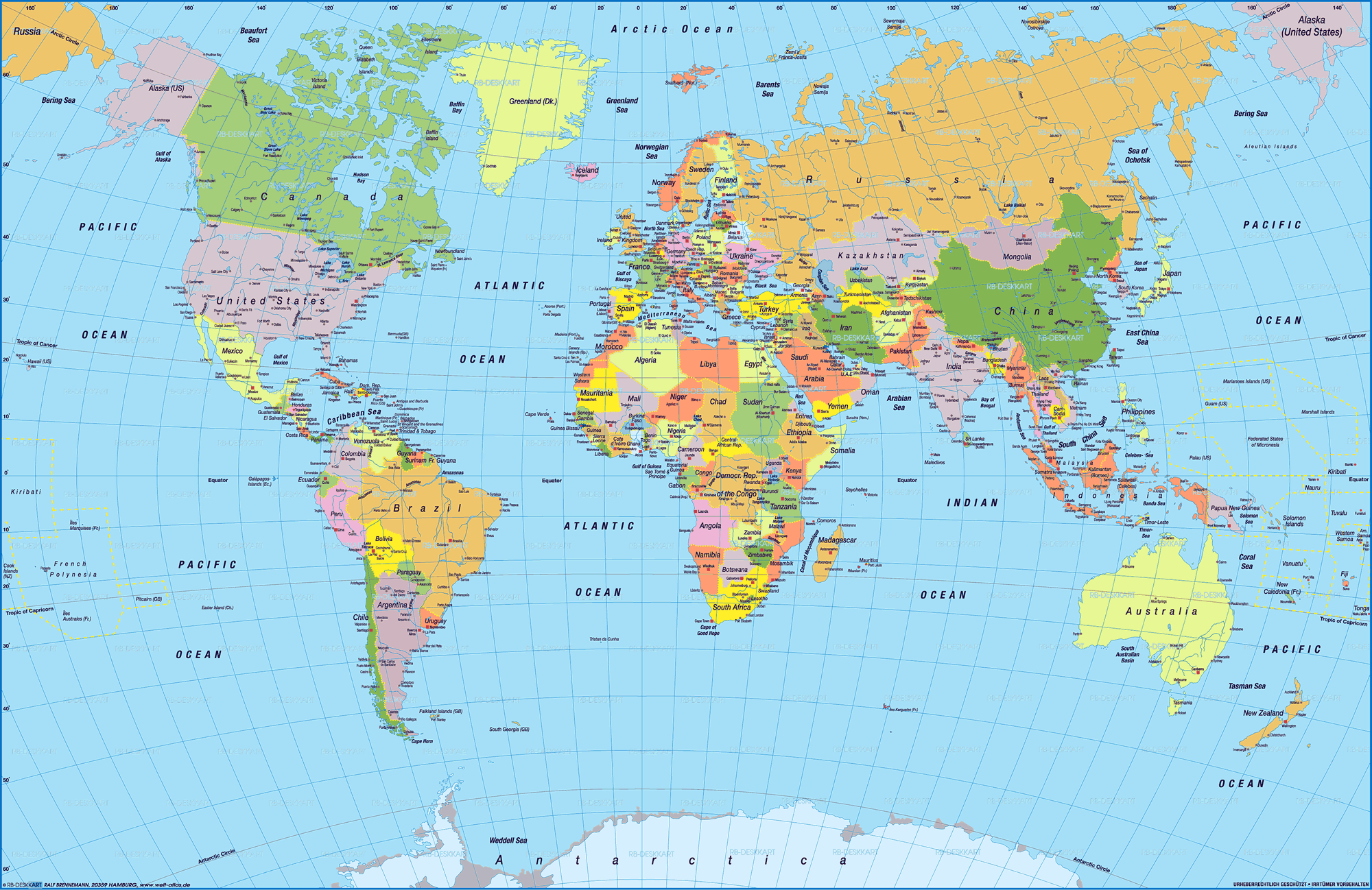
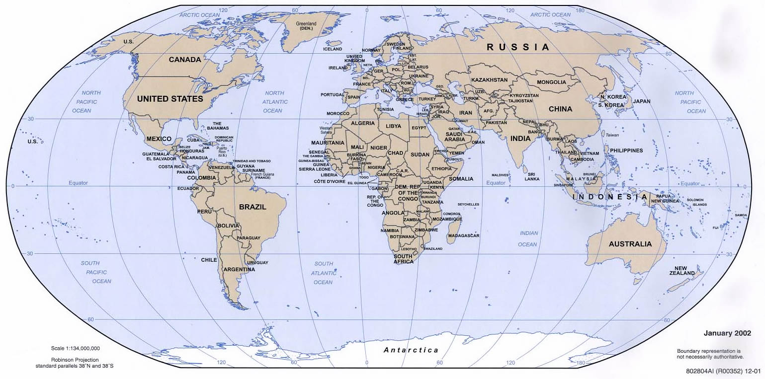
LARGE WORLD MAP
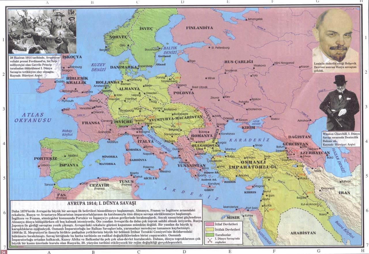
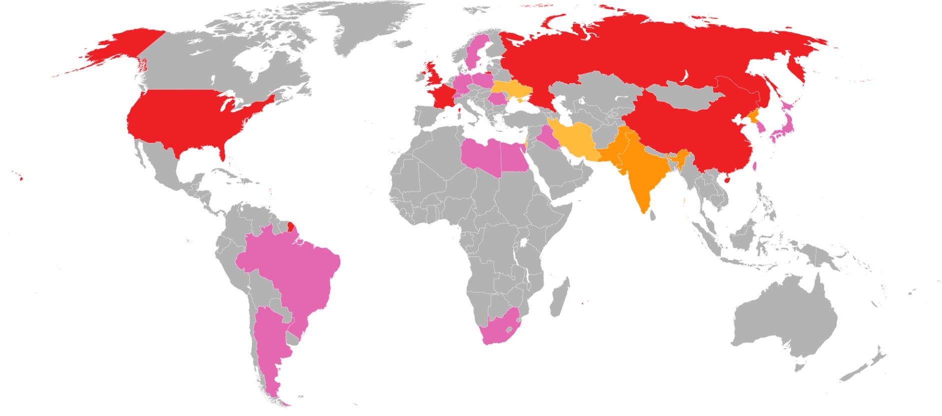
1 WORLD WAR MAP
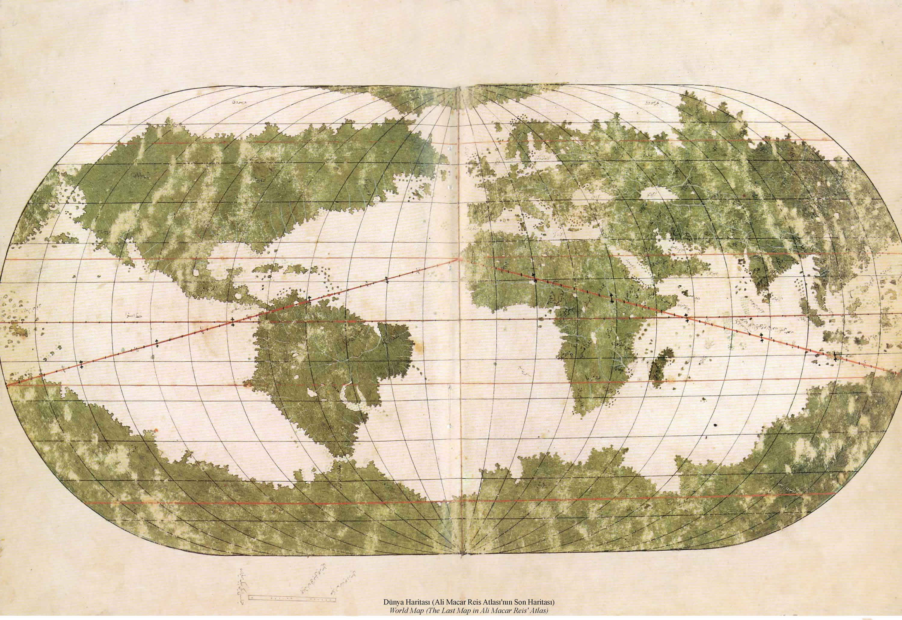
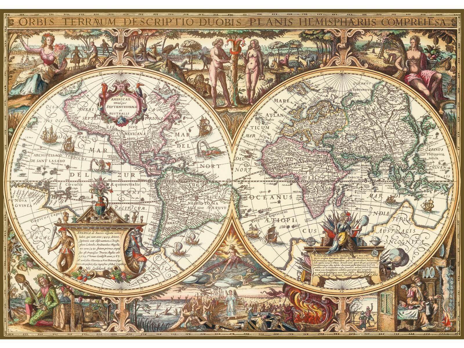
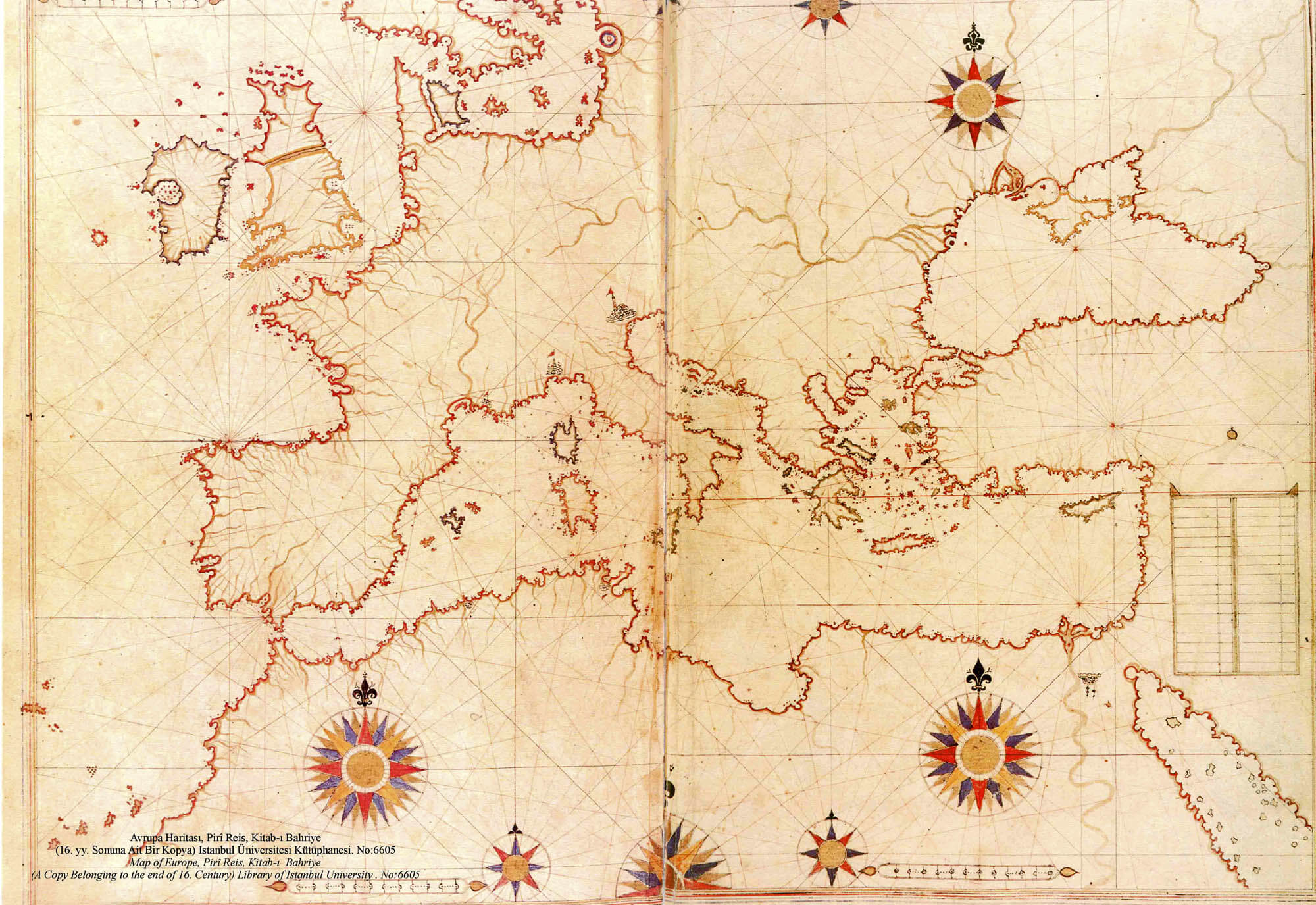
ALI MACAR REIS WORLD MAP
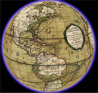
ANCIENT WORLD MA
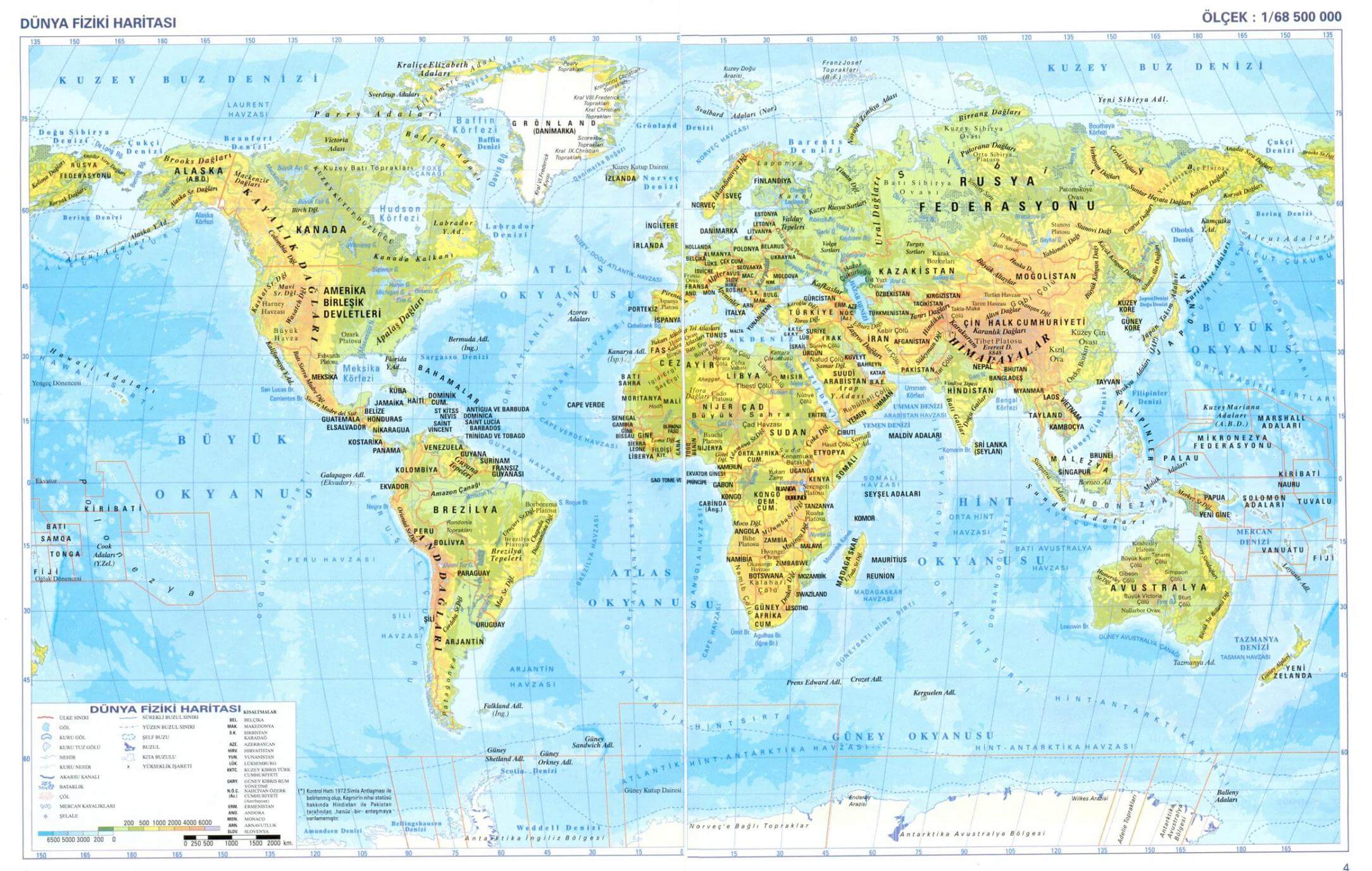
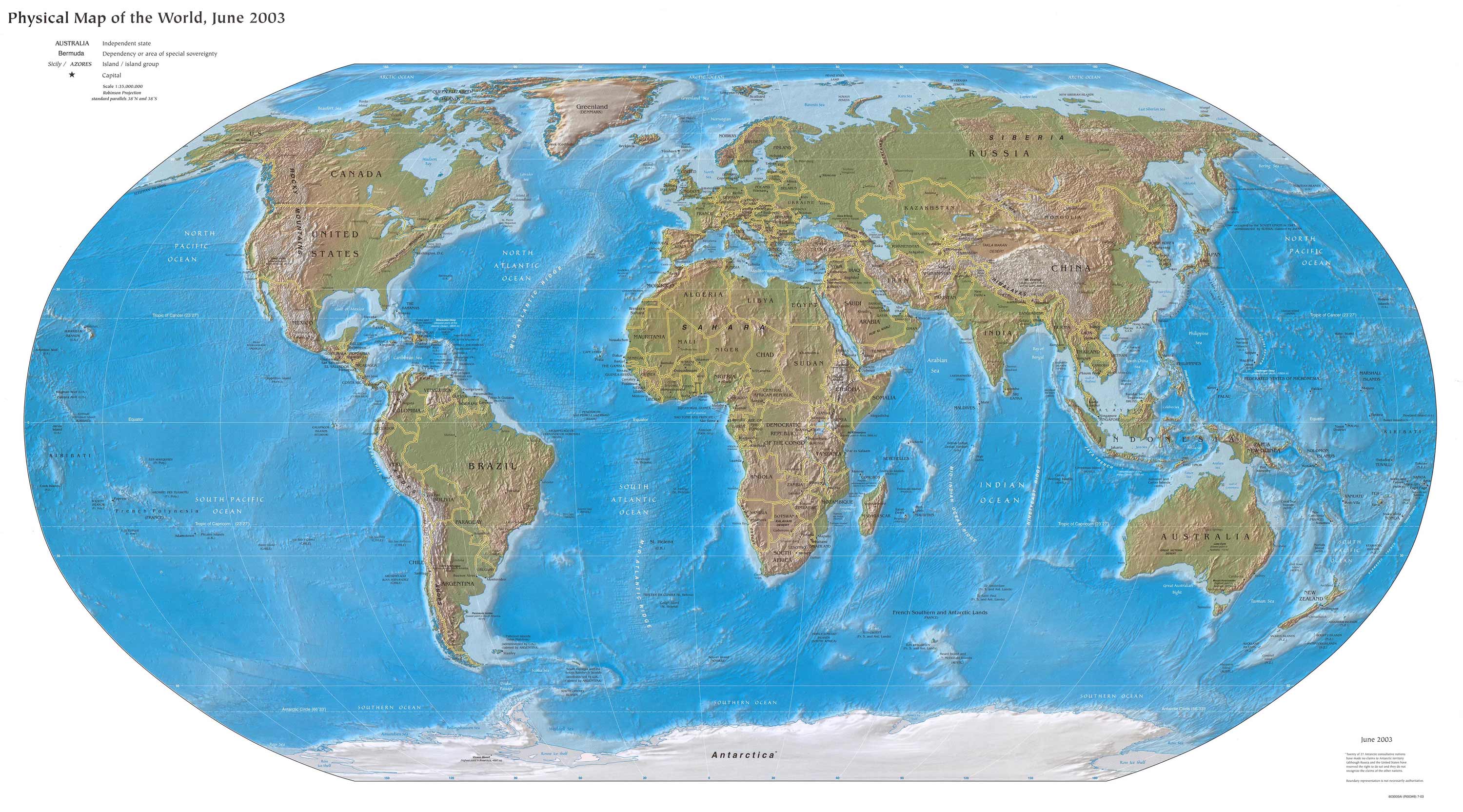
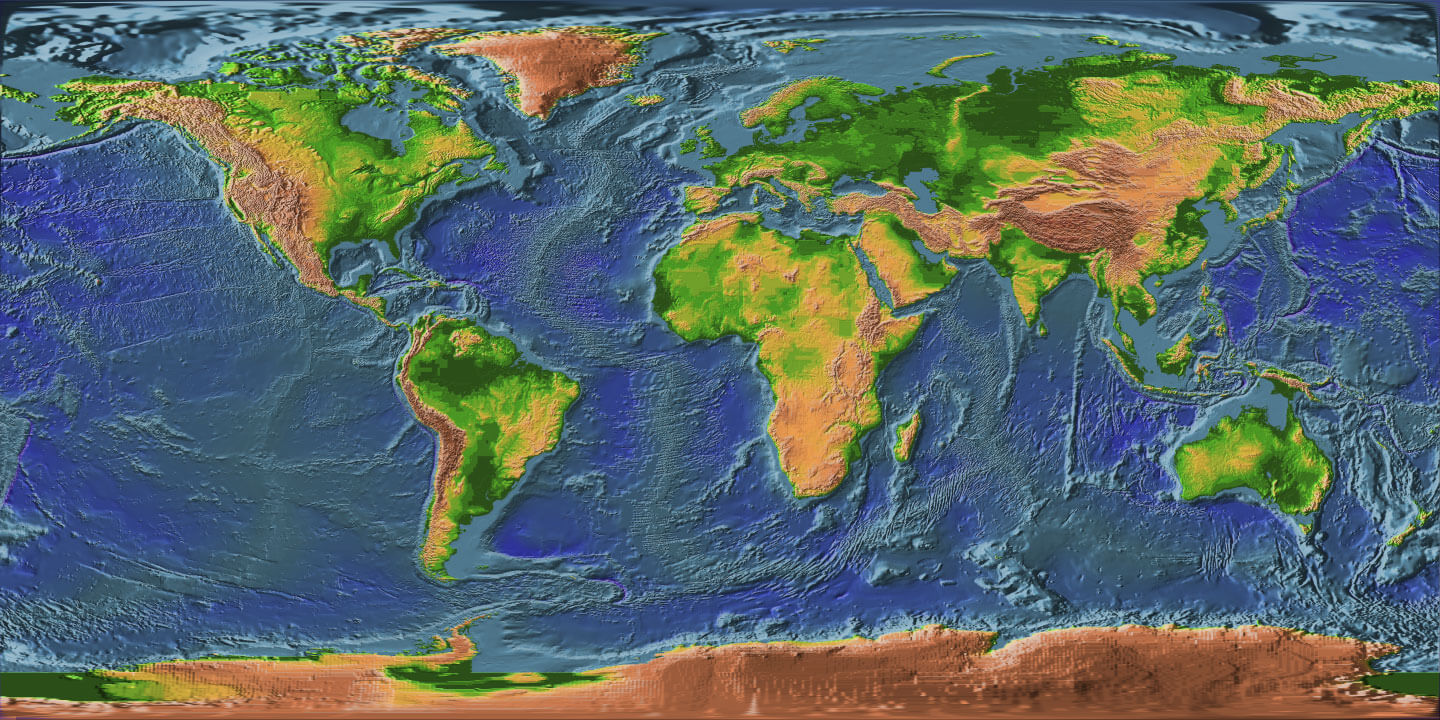
BLANK PHYSICAL WORLD M
A collection of World Maps & feel free to explore these pages as well:
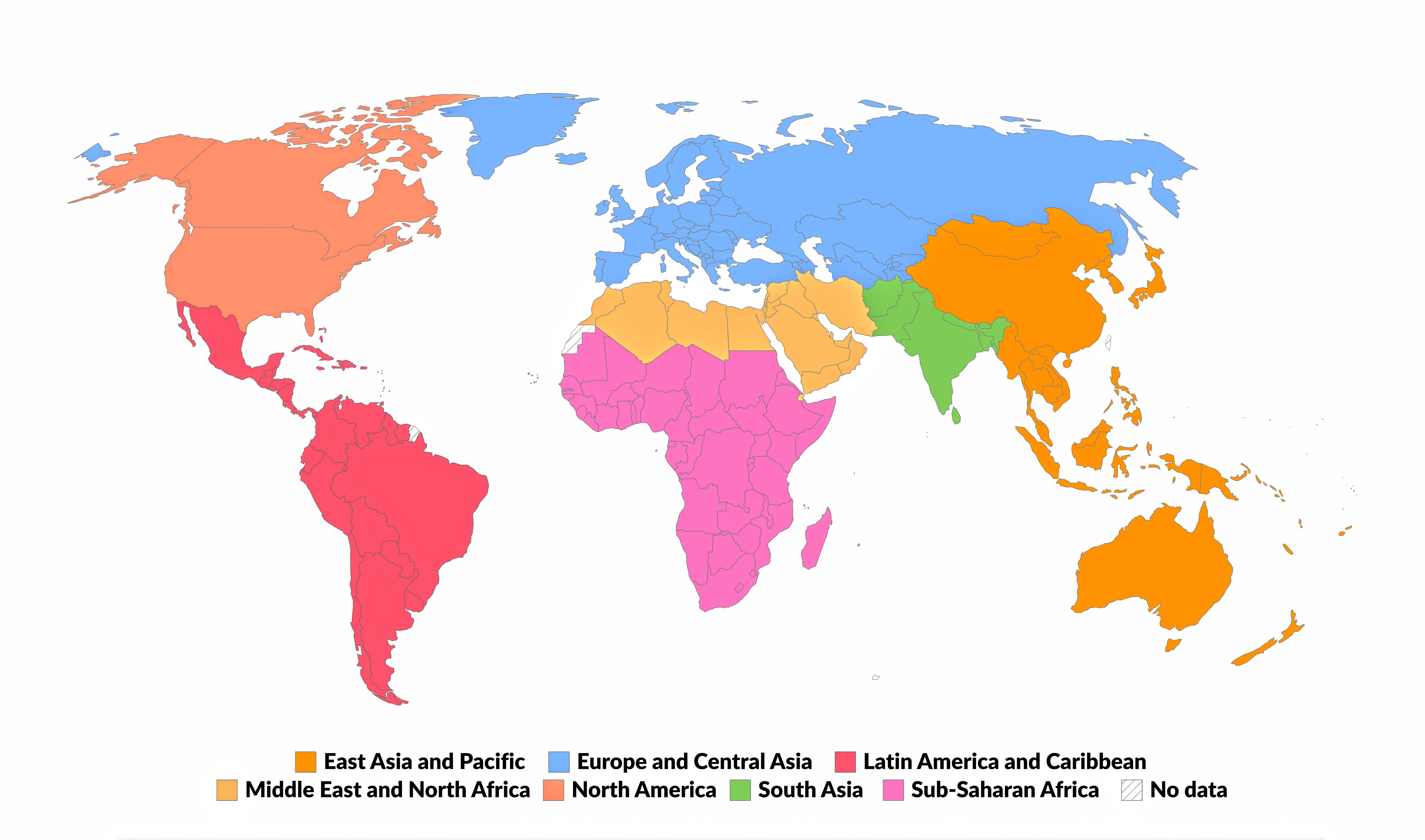
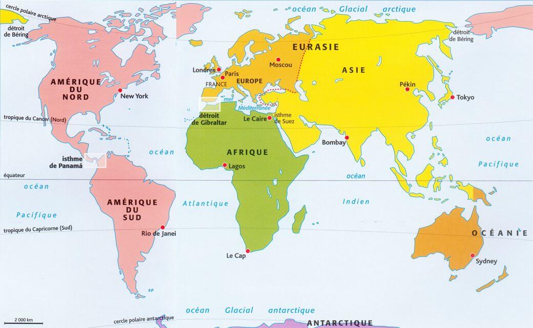
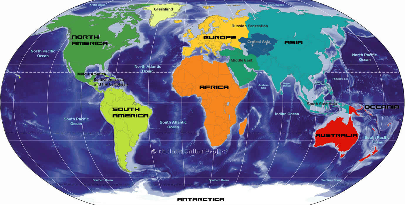
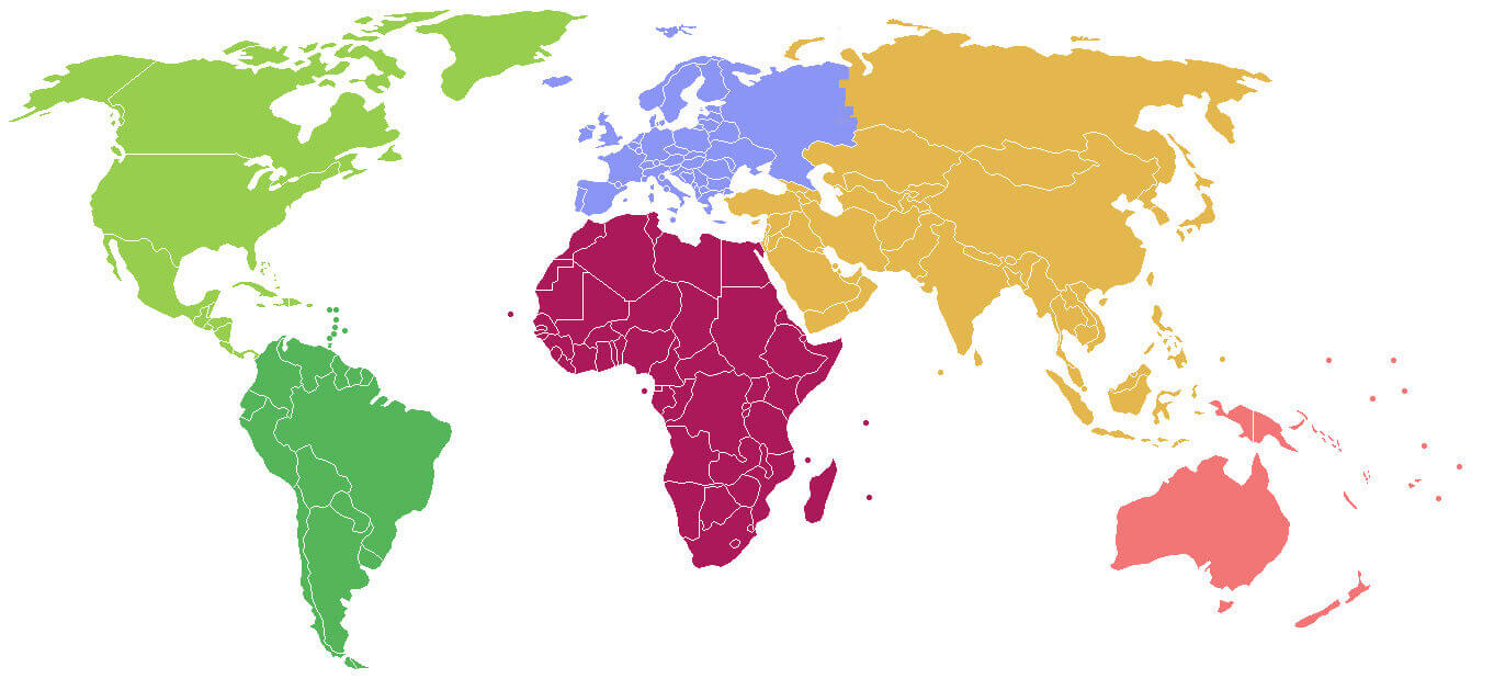
World Regions Map
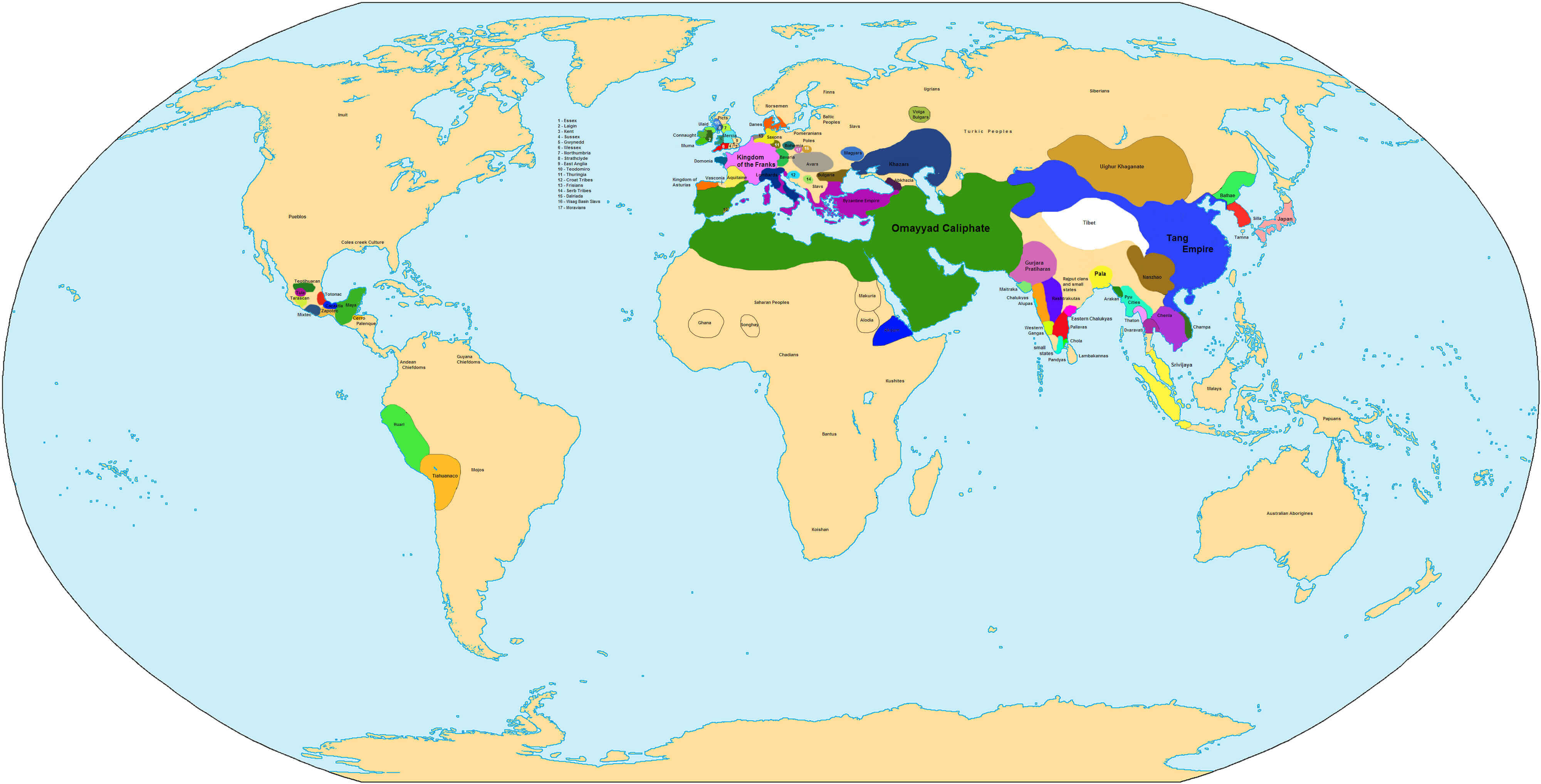
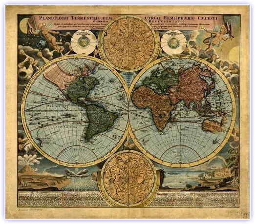
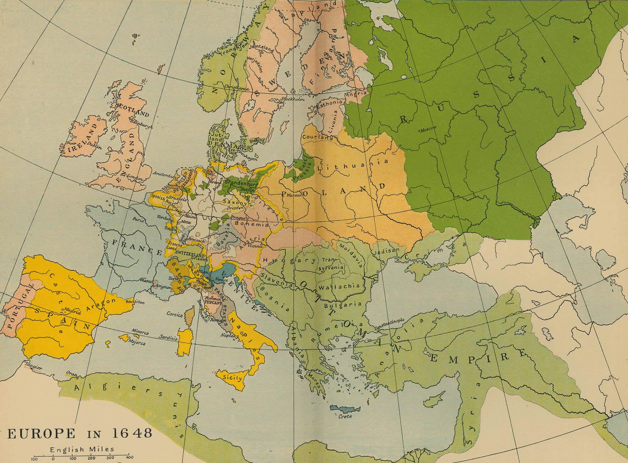
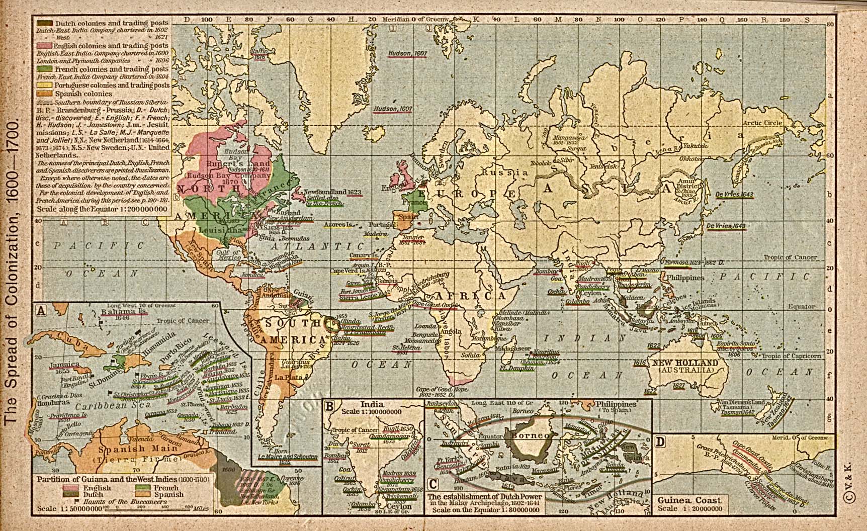
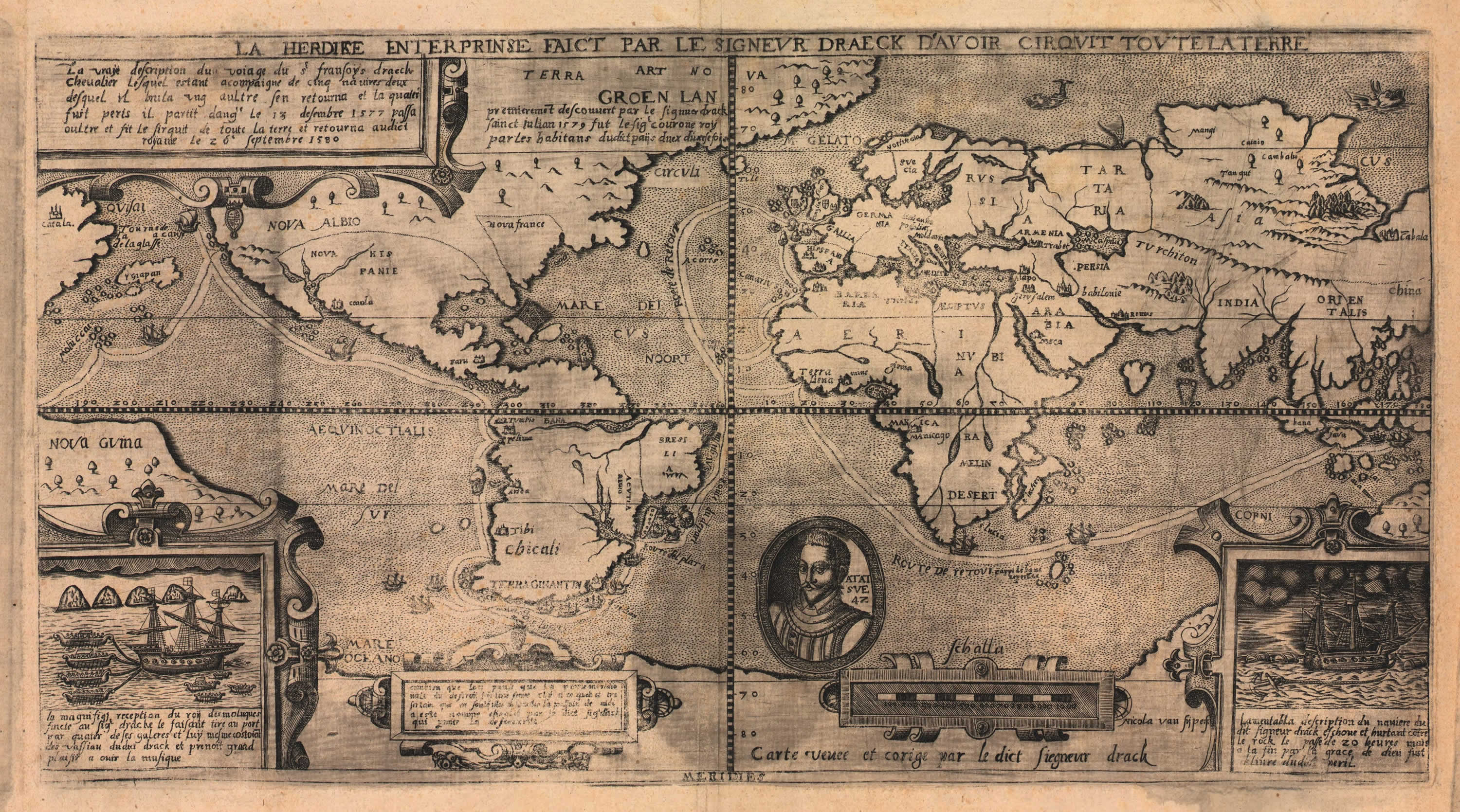
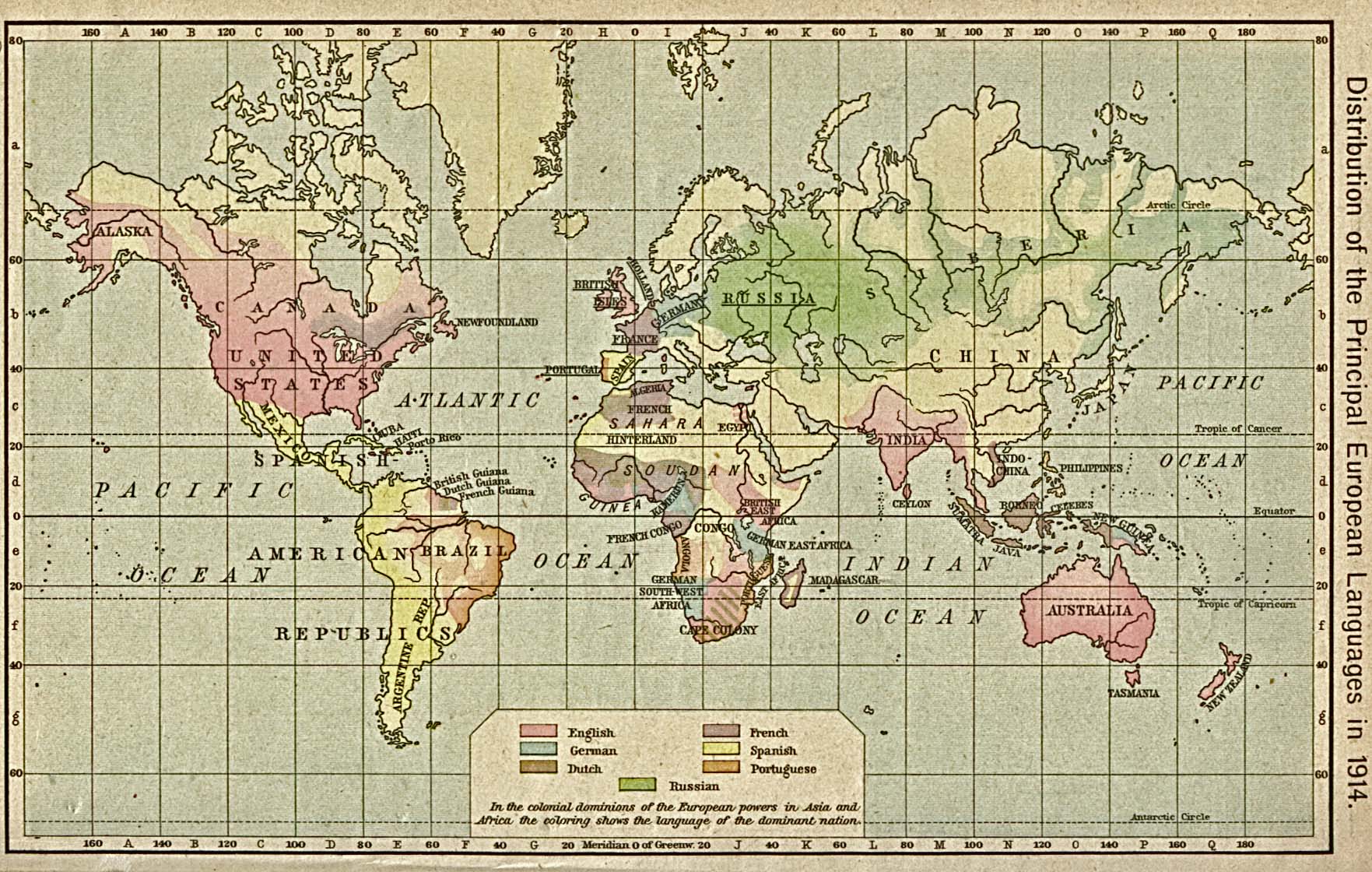
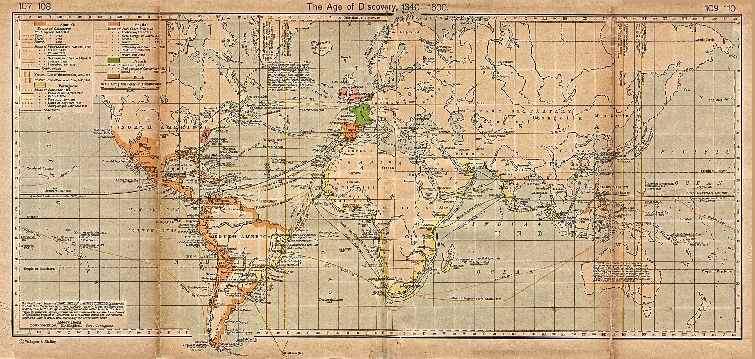
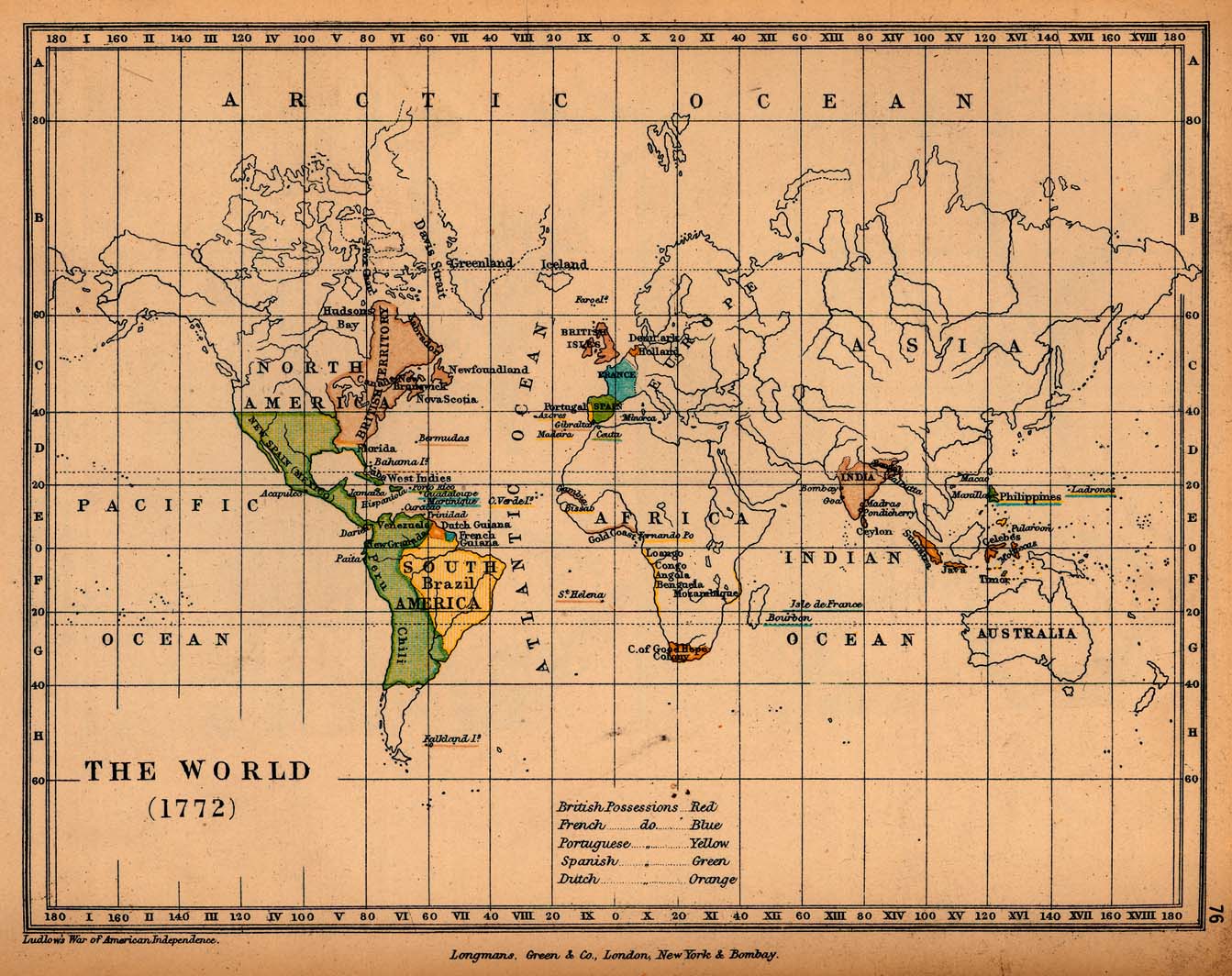
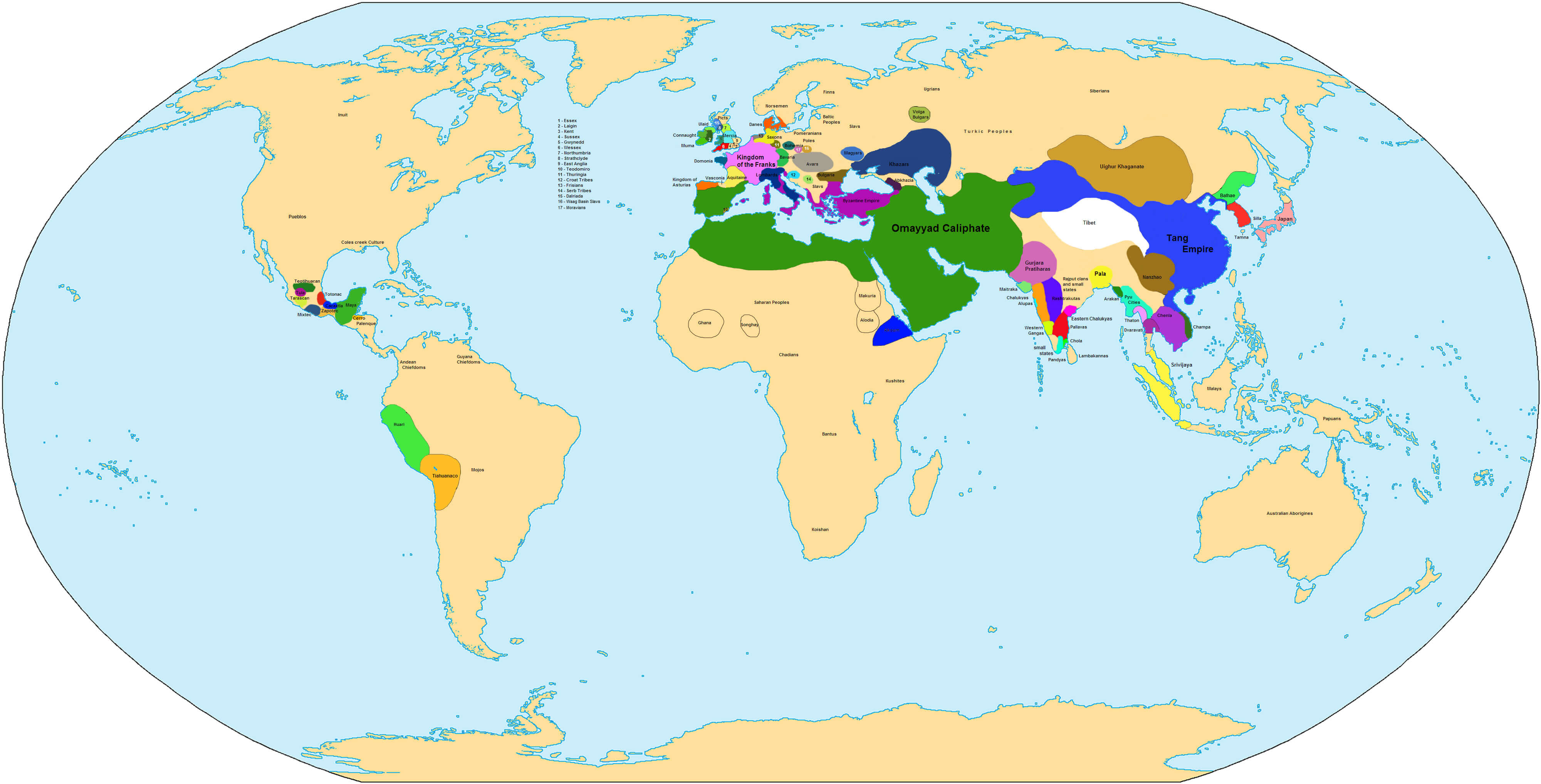
World Historical Map 1570
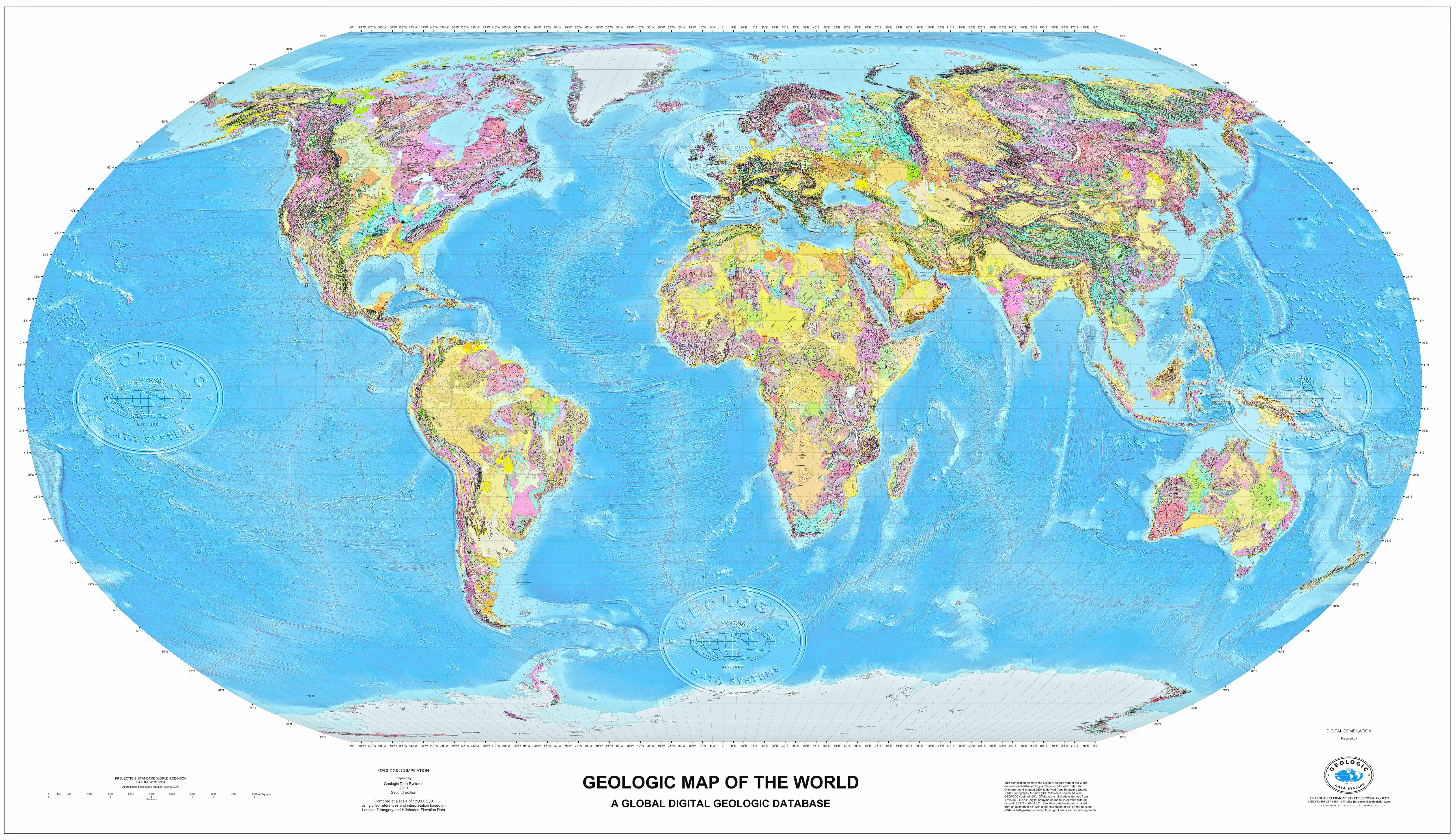
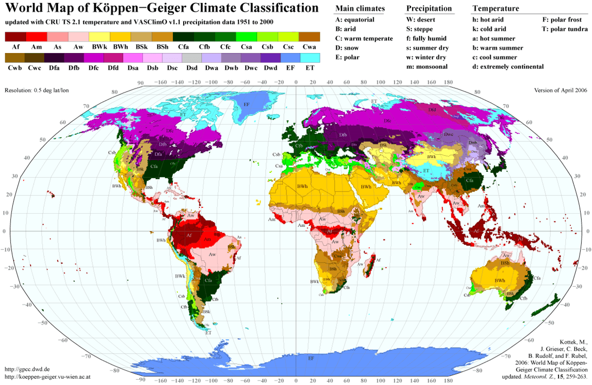
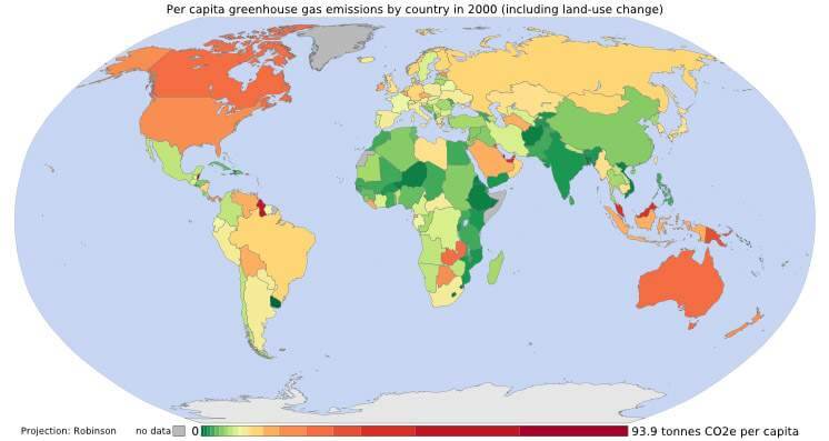
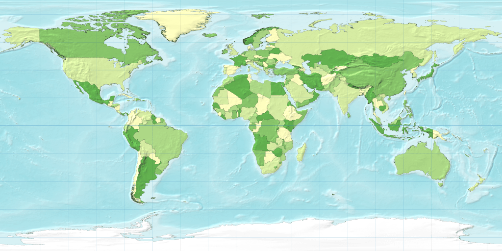
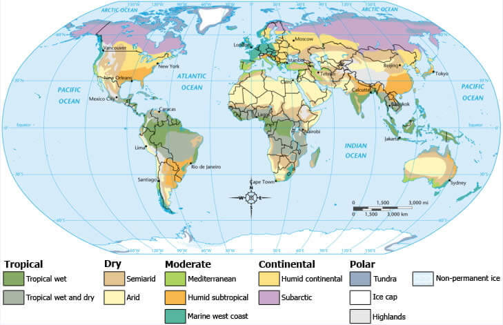
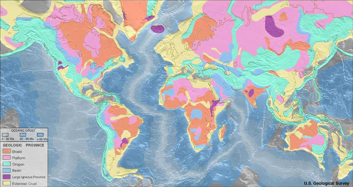
World Geological Map
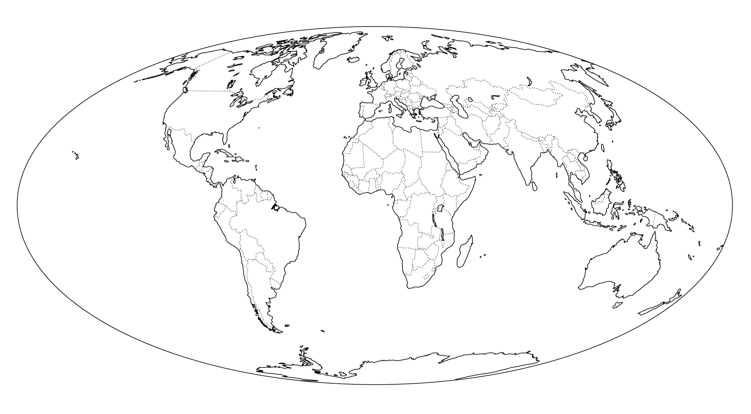
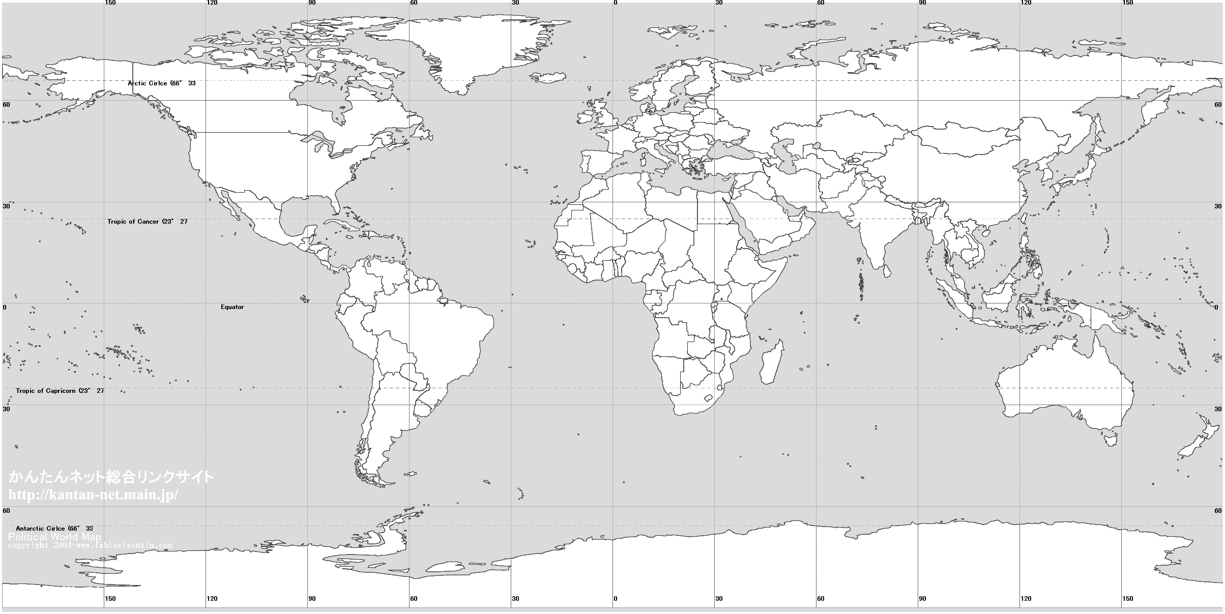
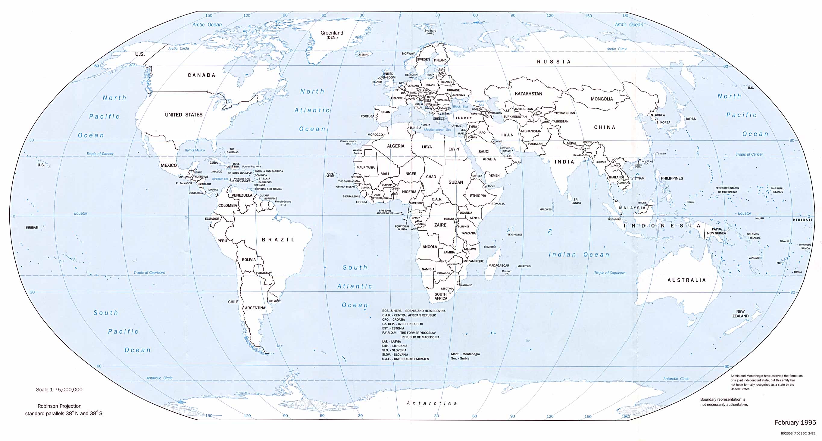
World Blank Map
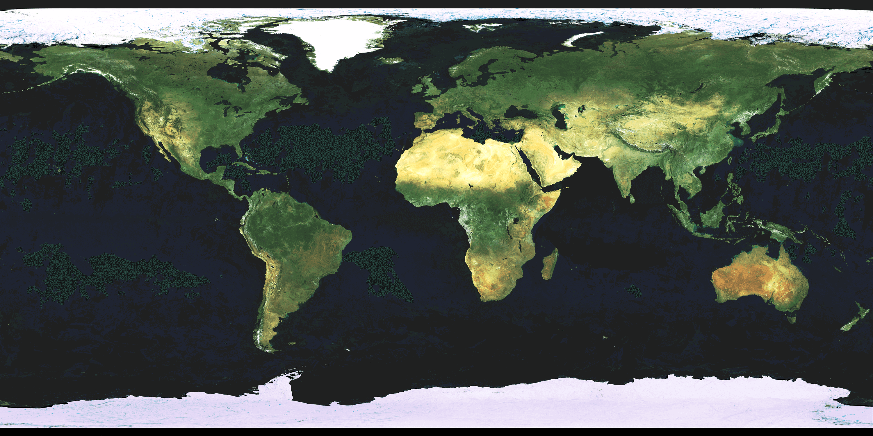
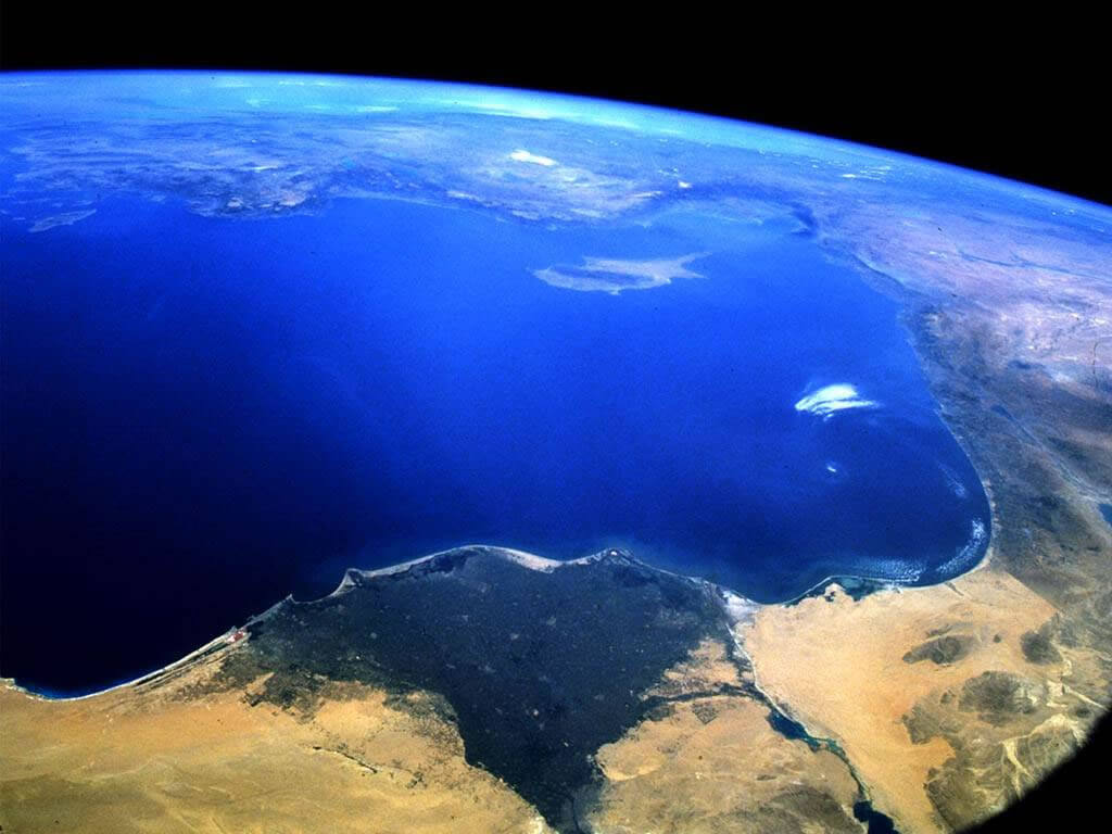
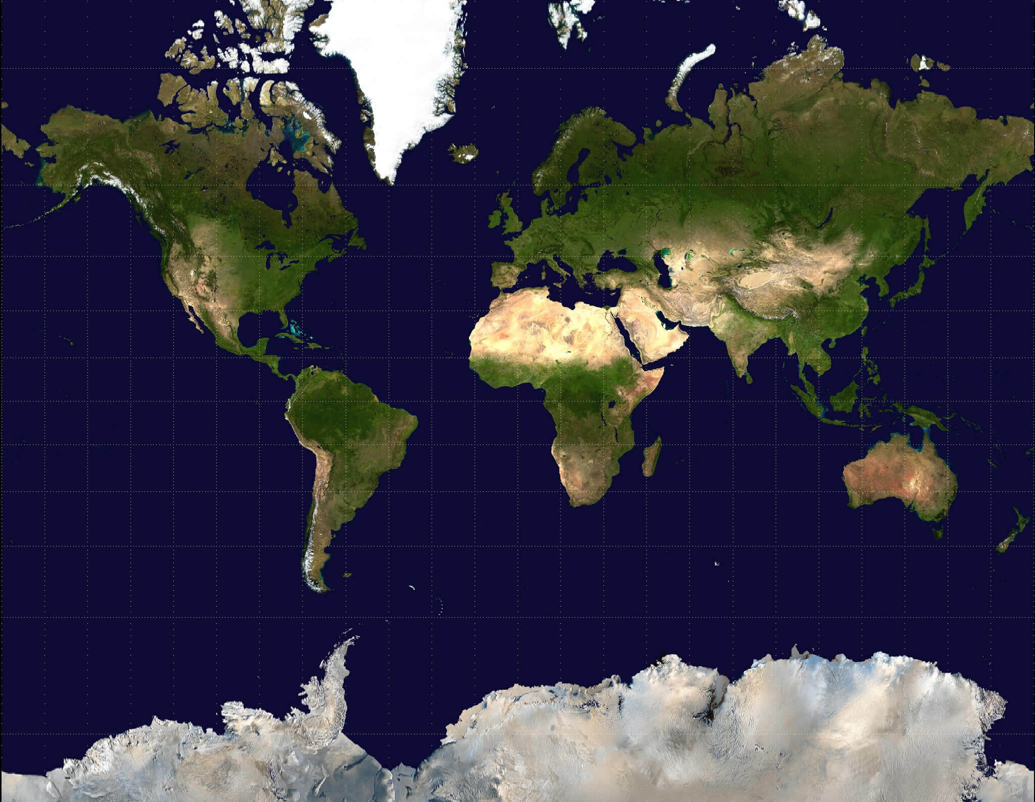
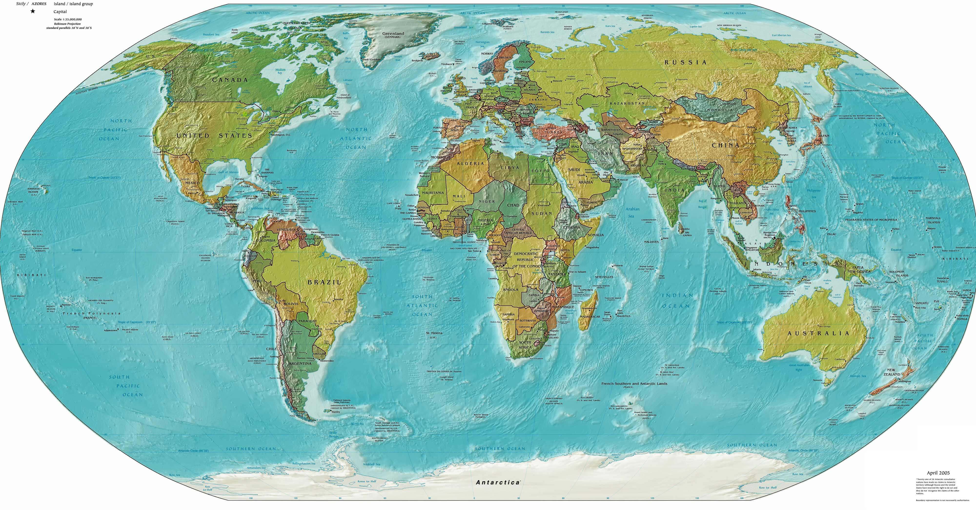
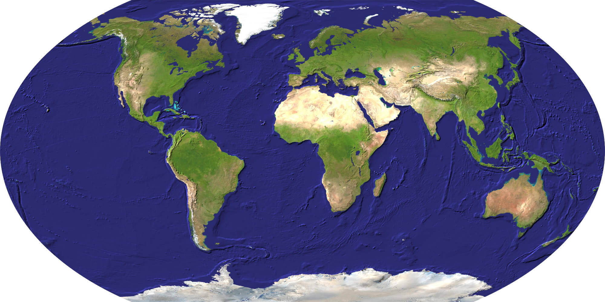
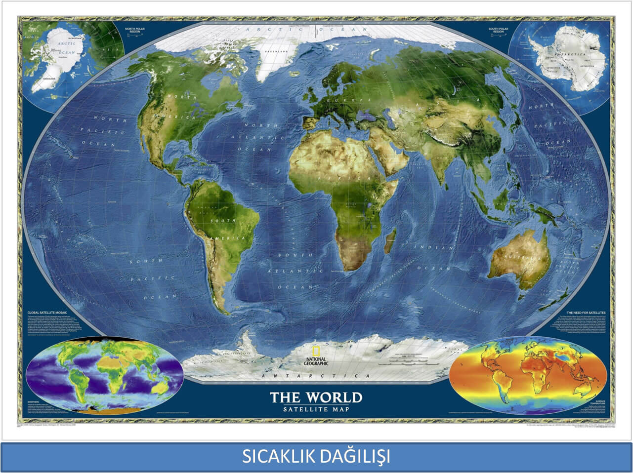
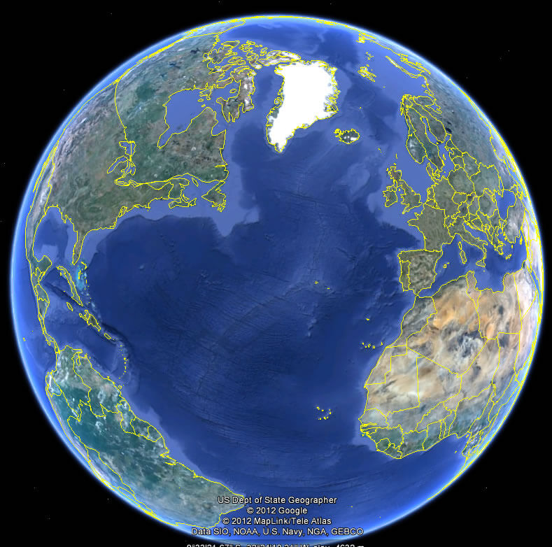
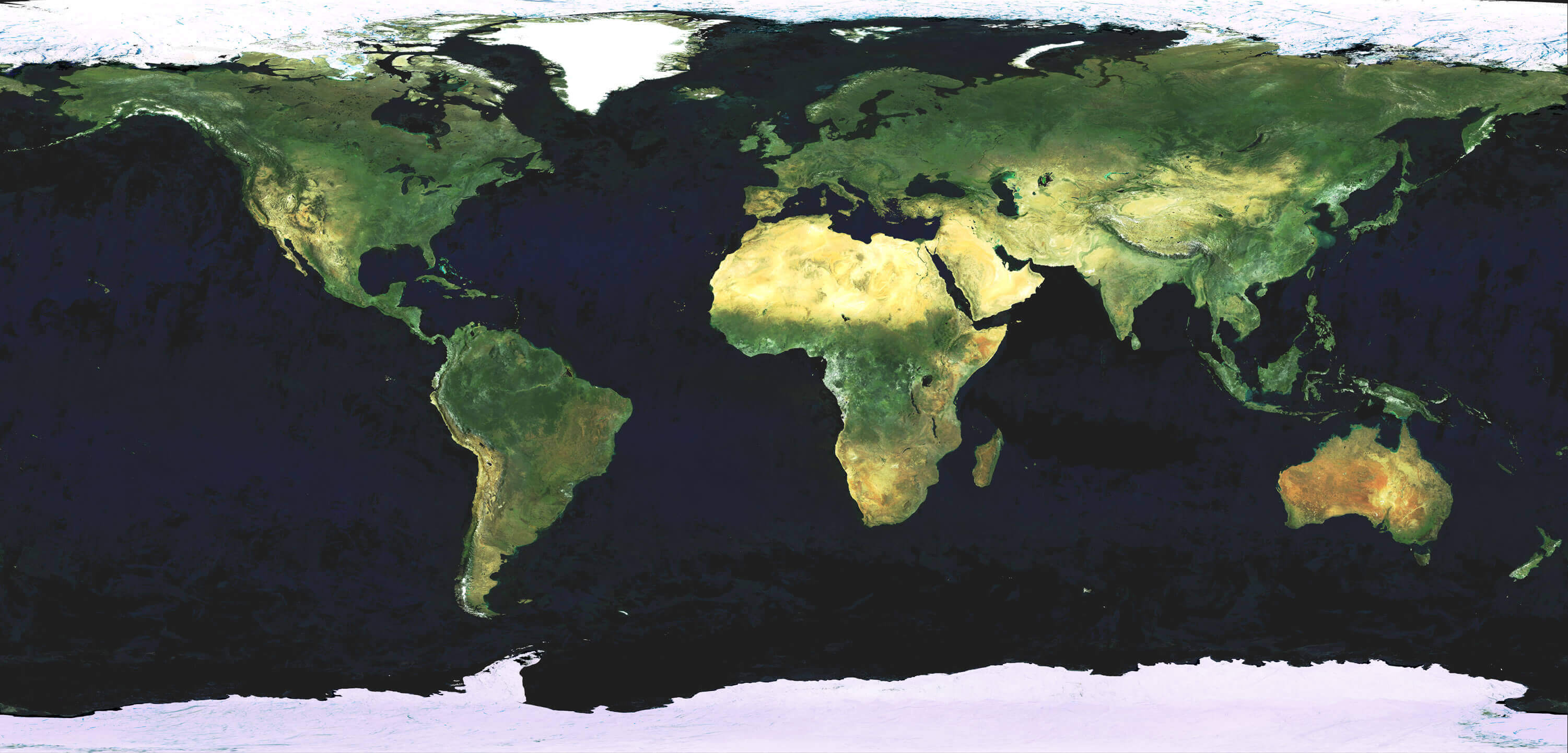
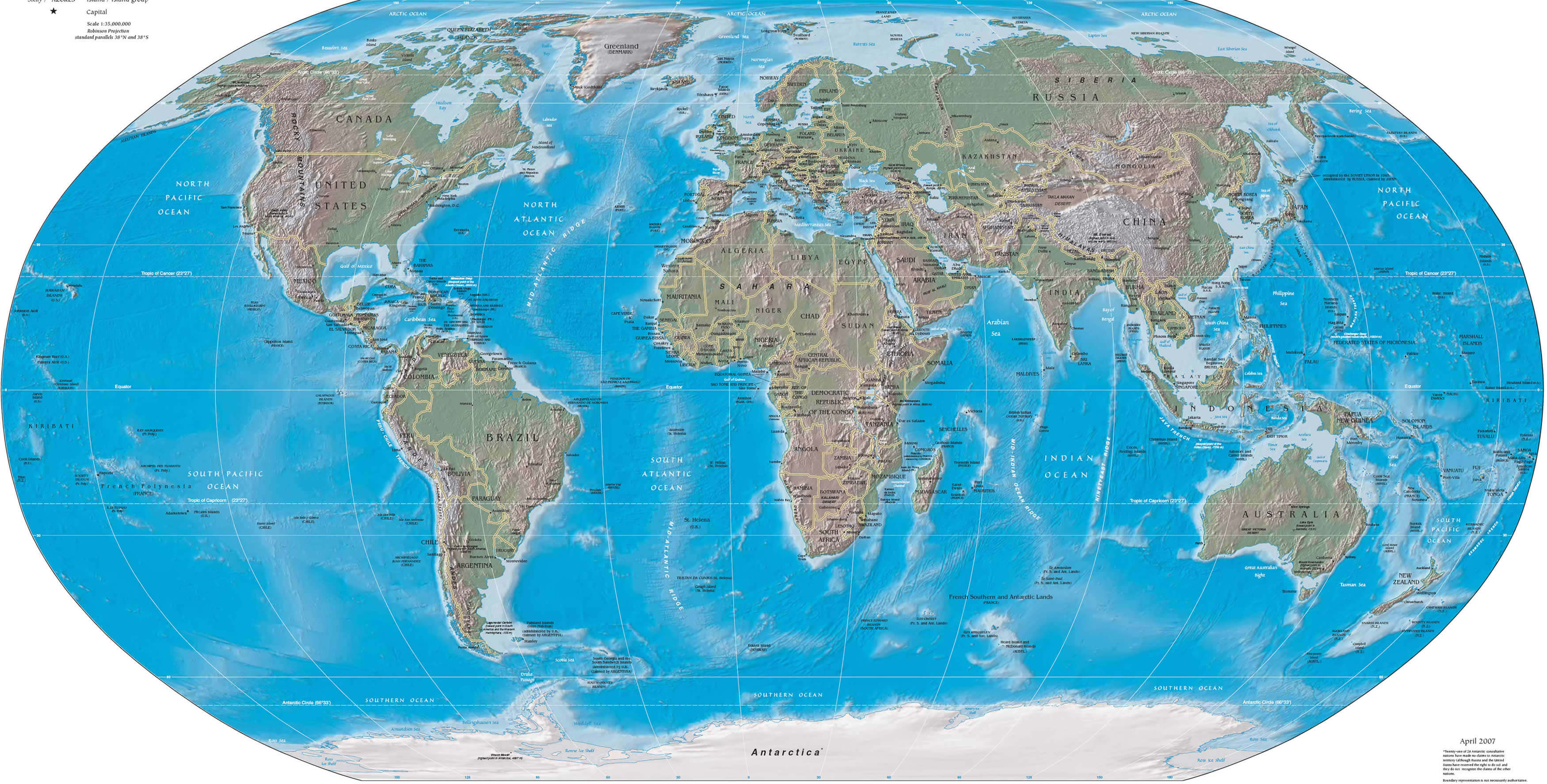
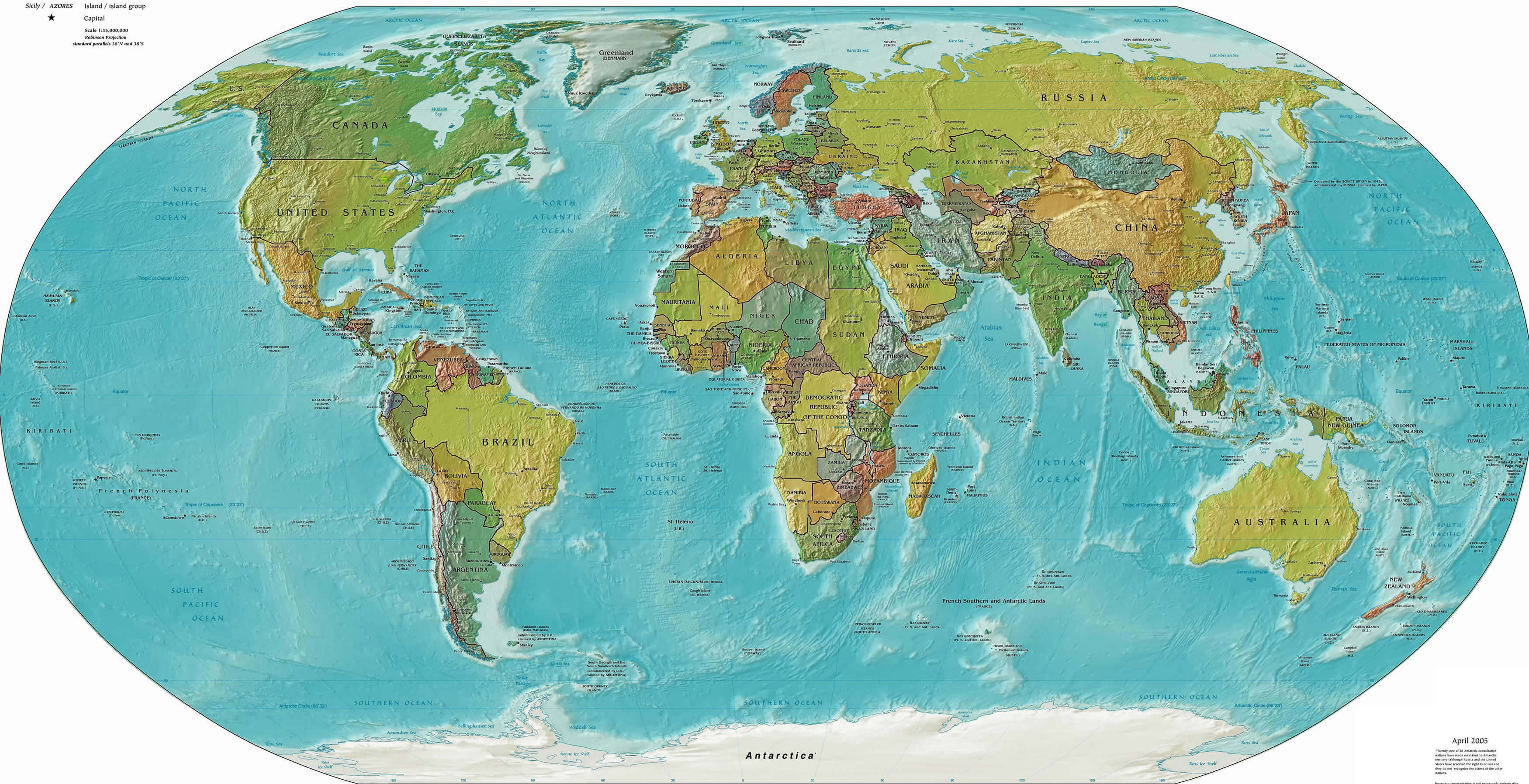
World Satellite Map Detailed
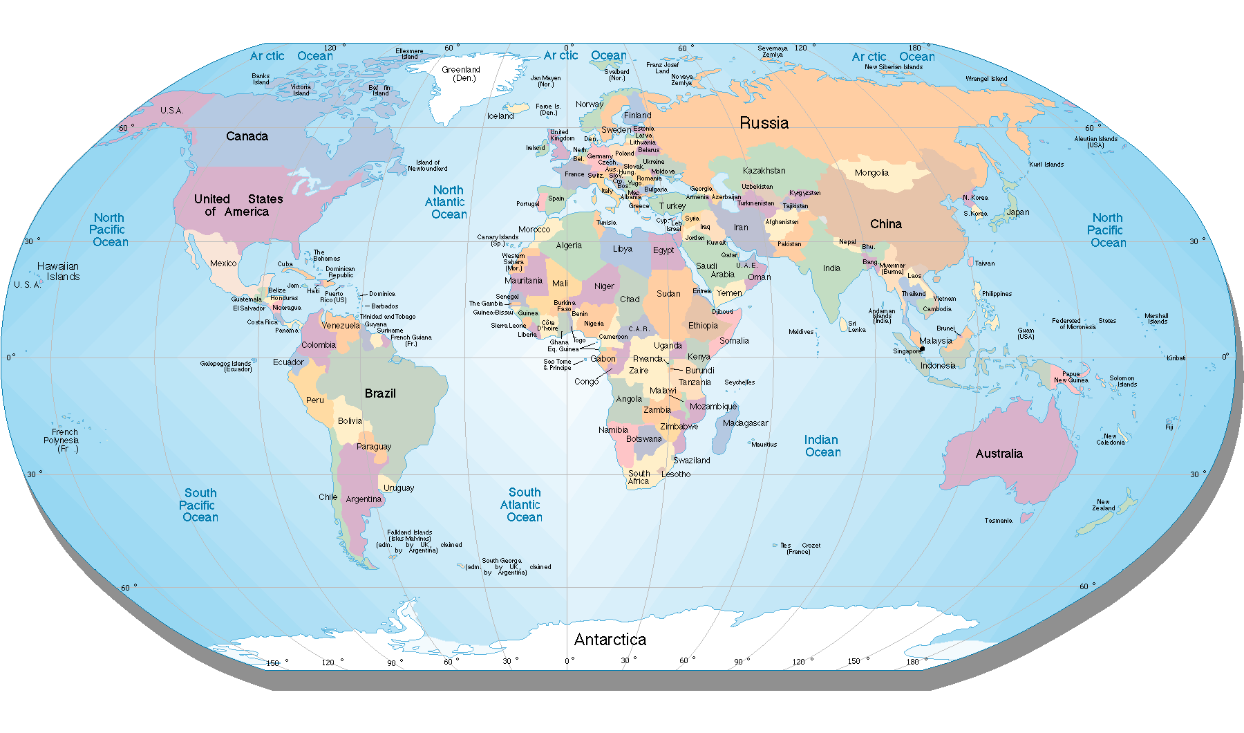
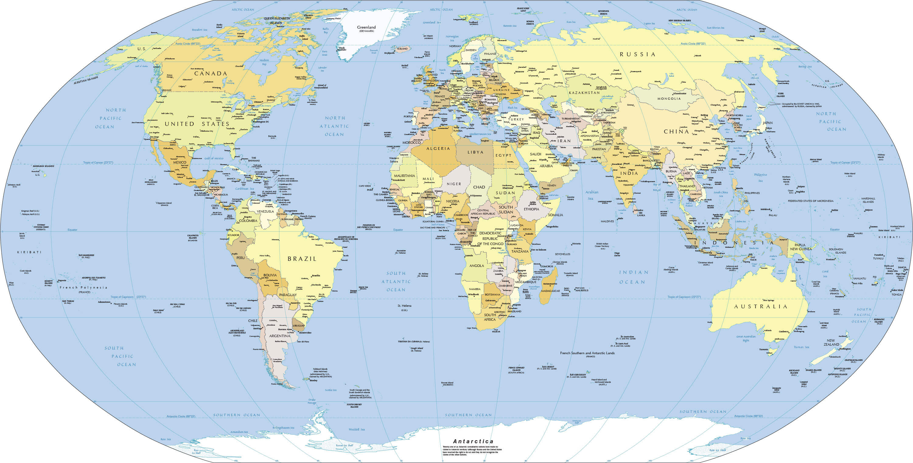
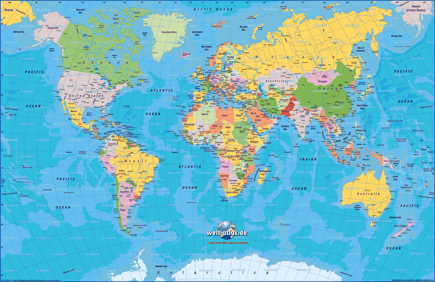
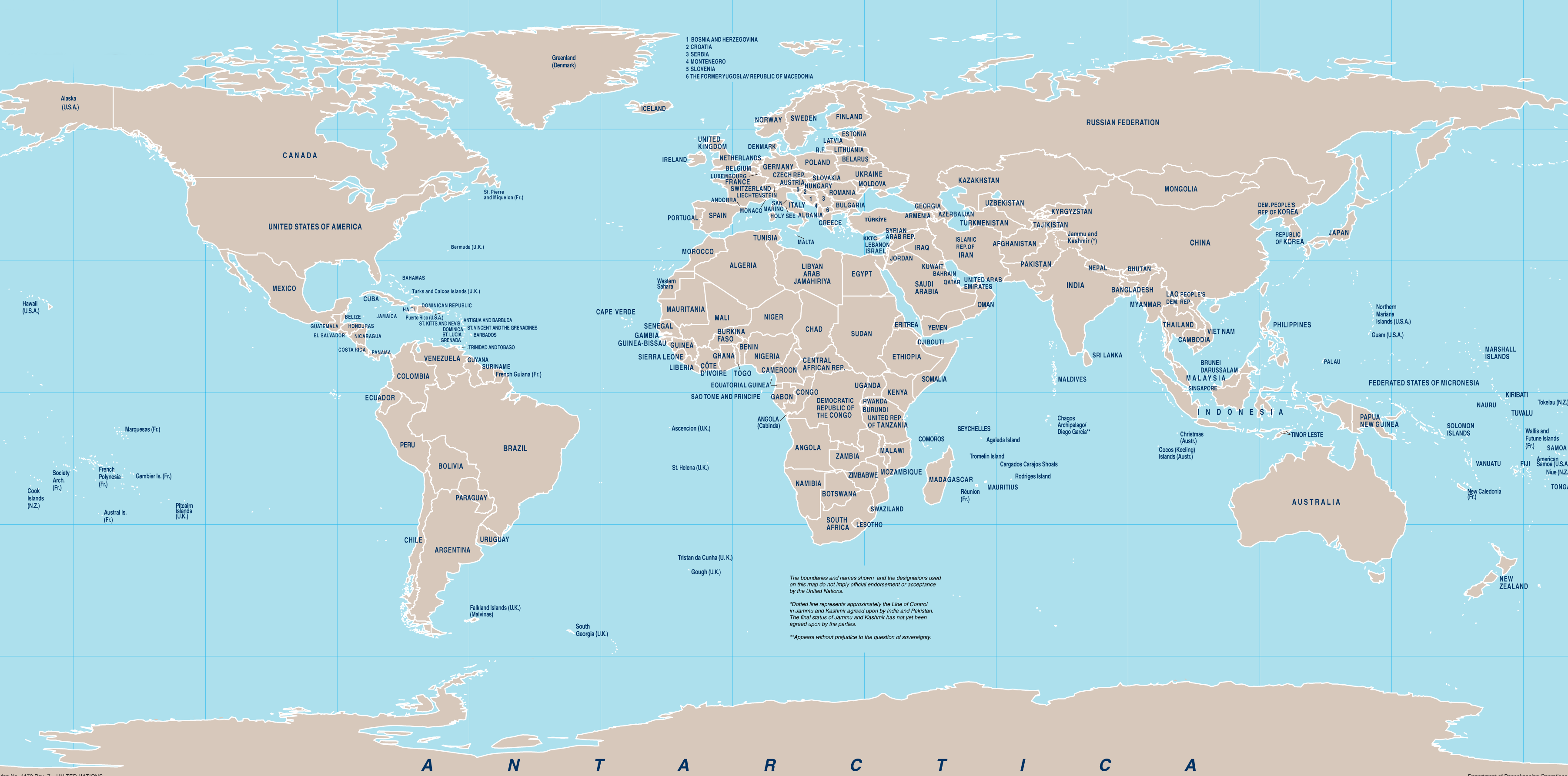
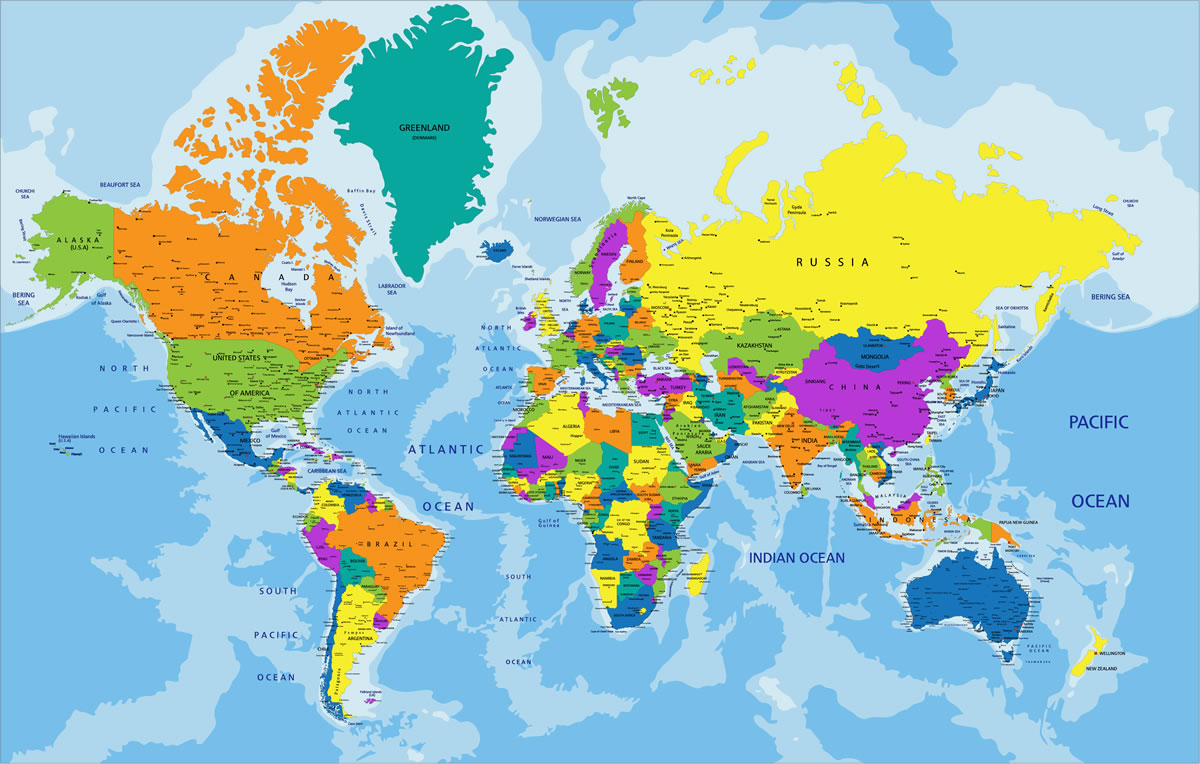
World Map With Countries
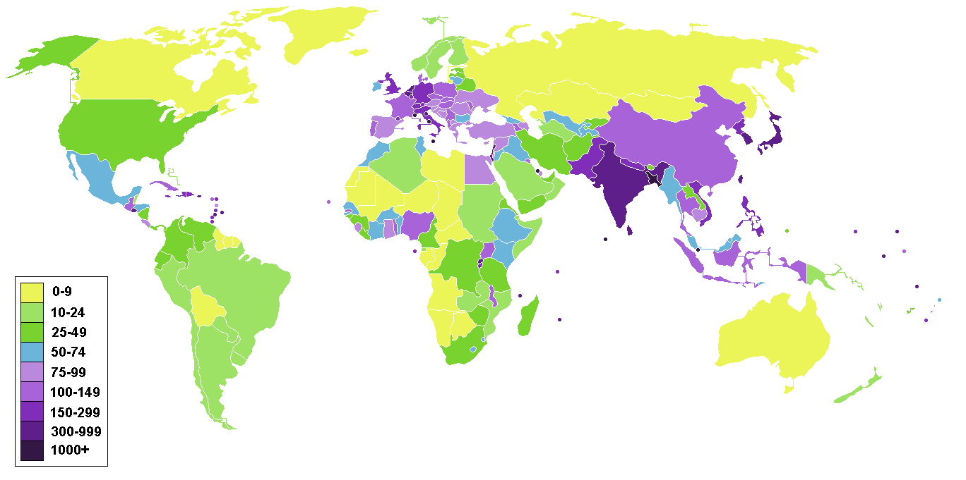
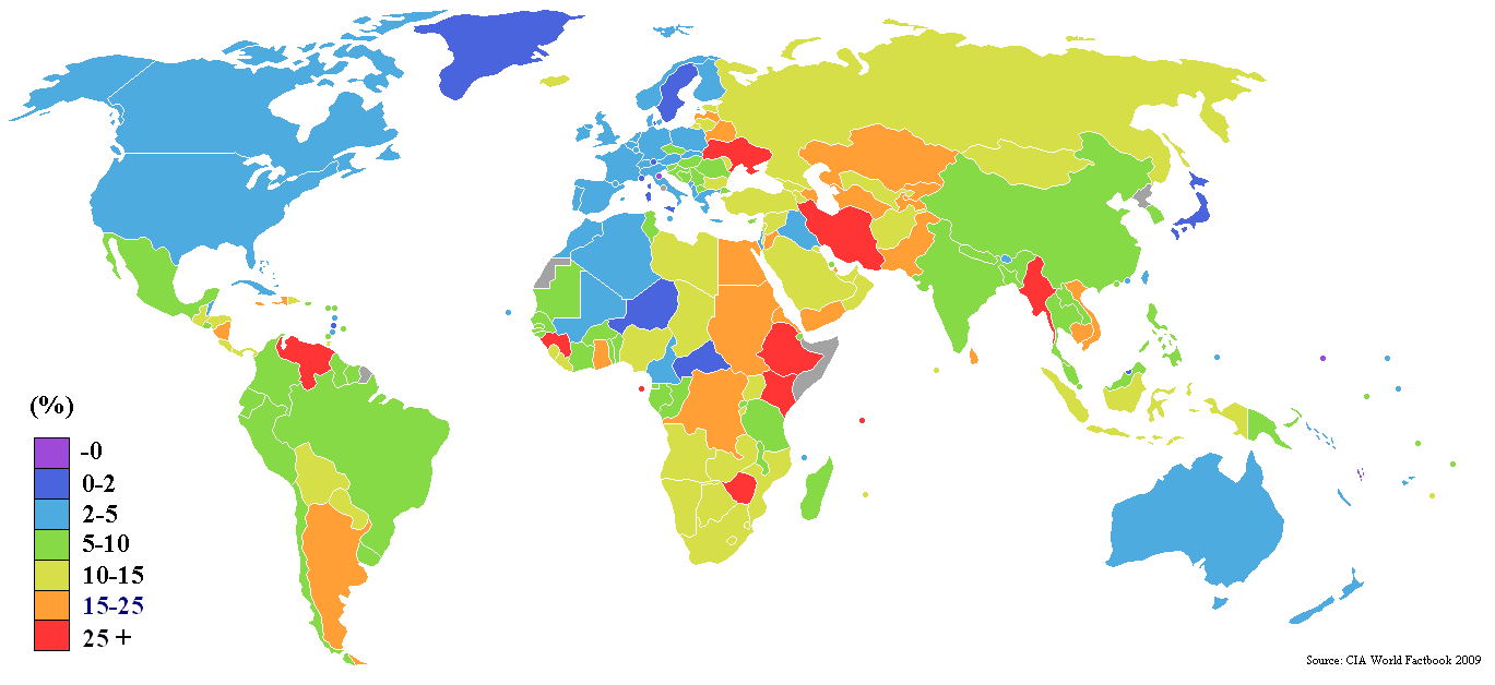
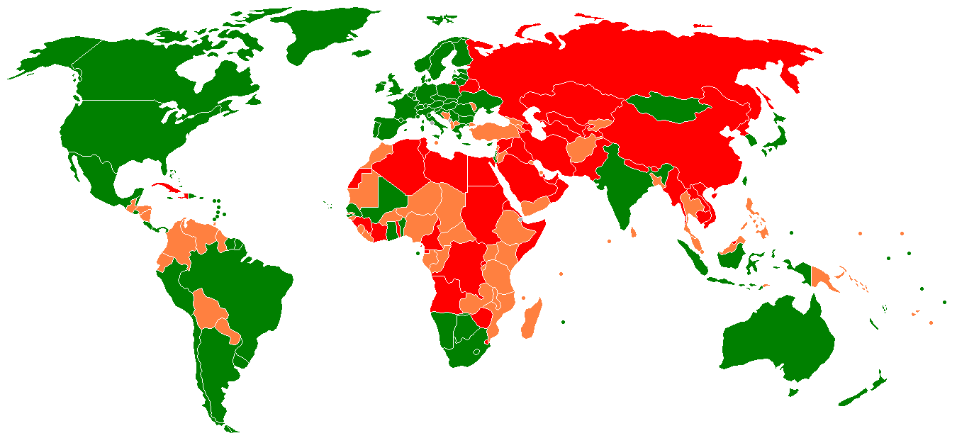
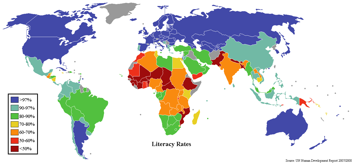
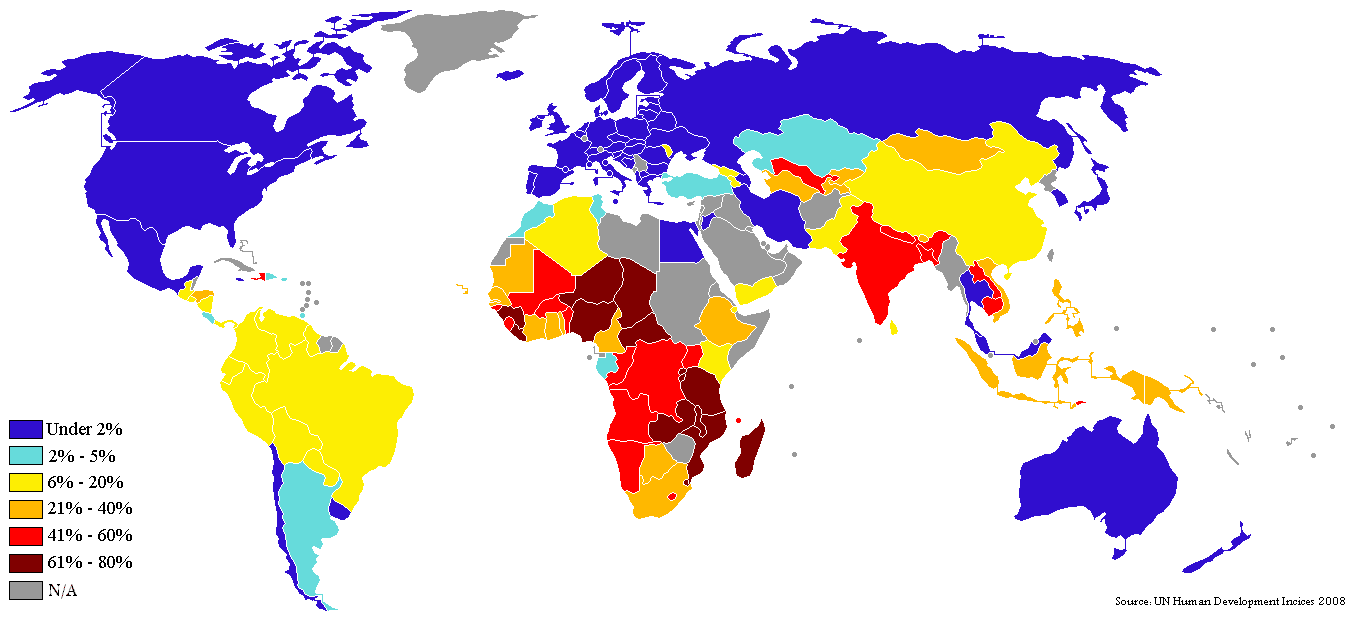
World Literacy Rate Map
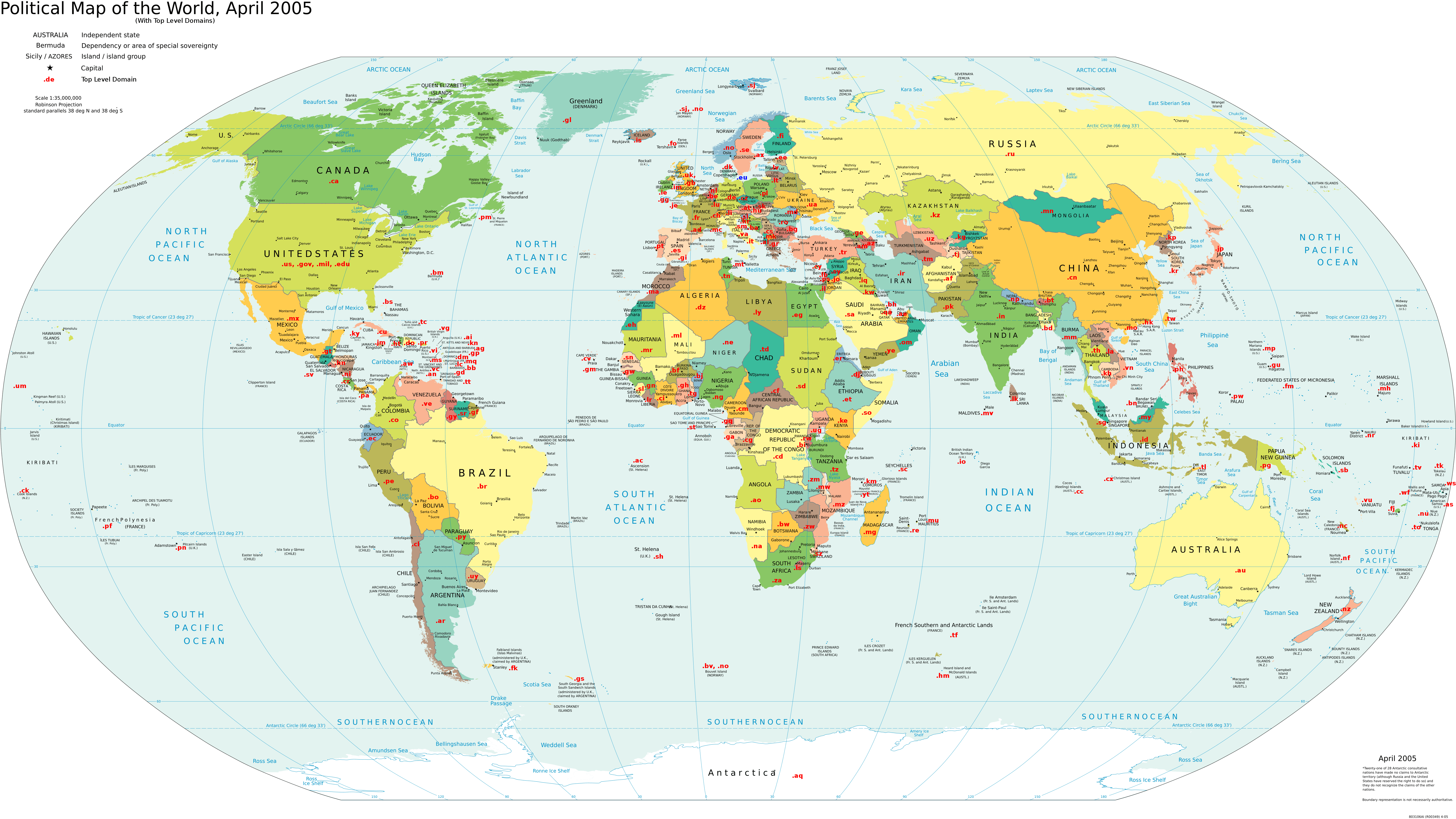
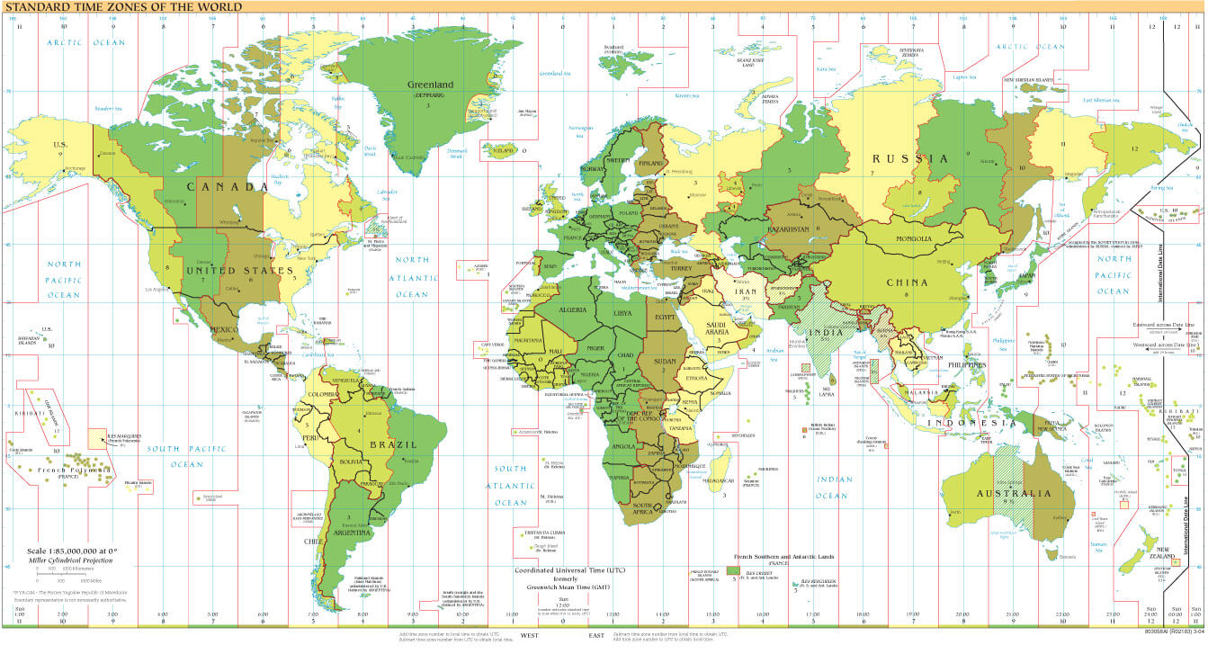
World Domain Extensions Map
World Atlas
Vector World Map
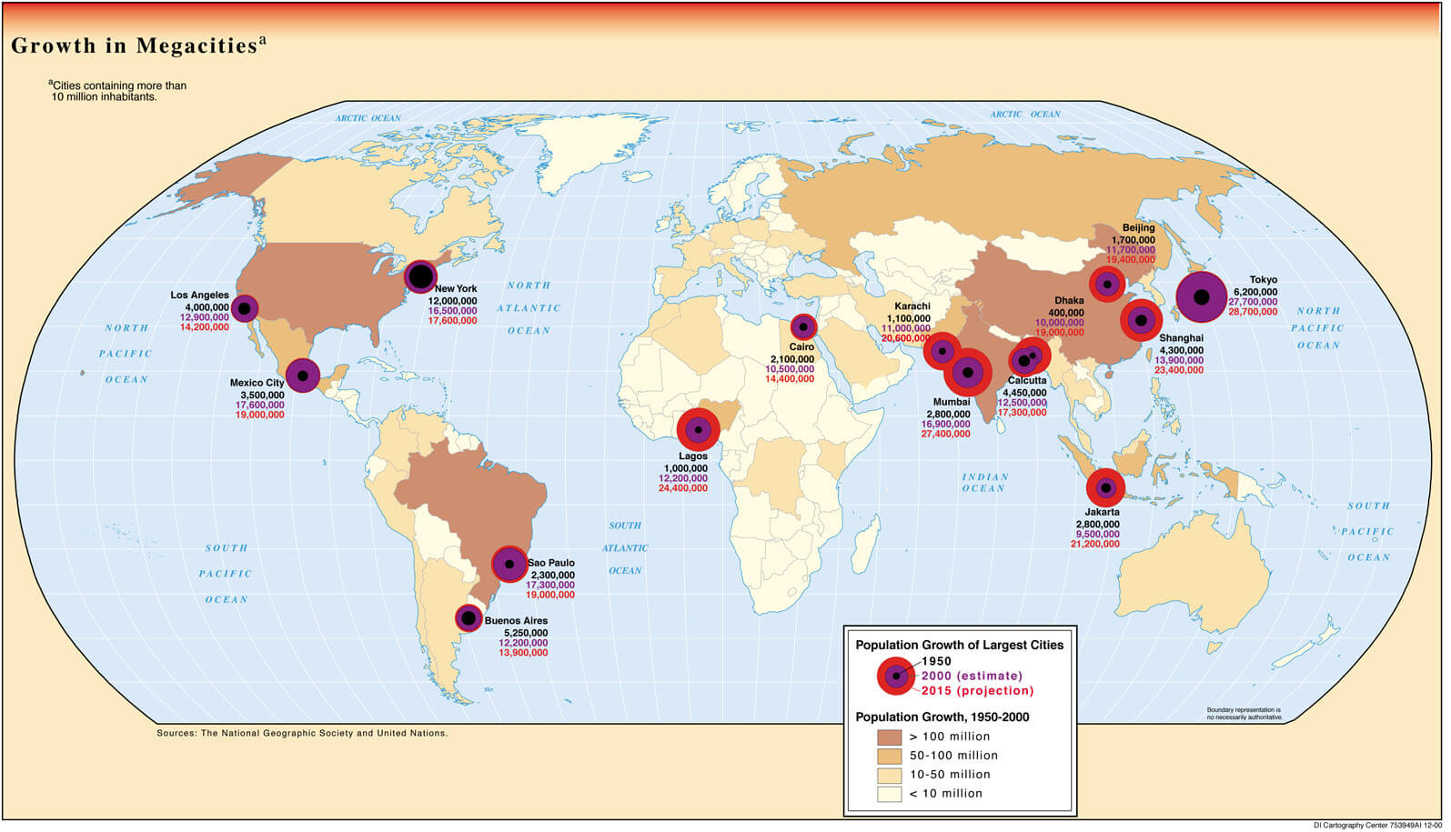
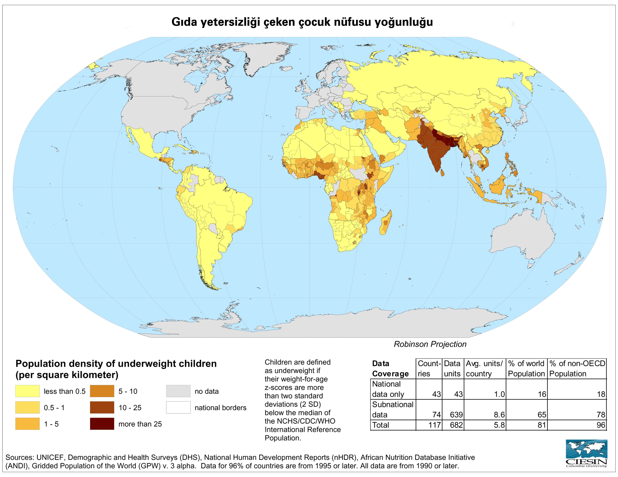
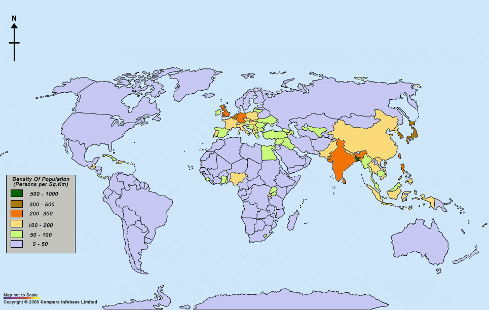
Population Density Map Of The World
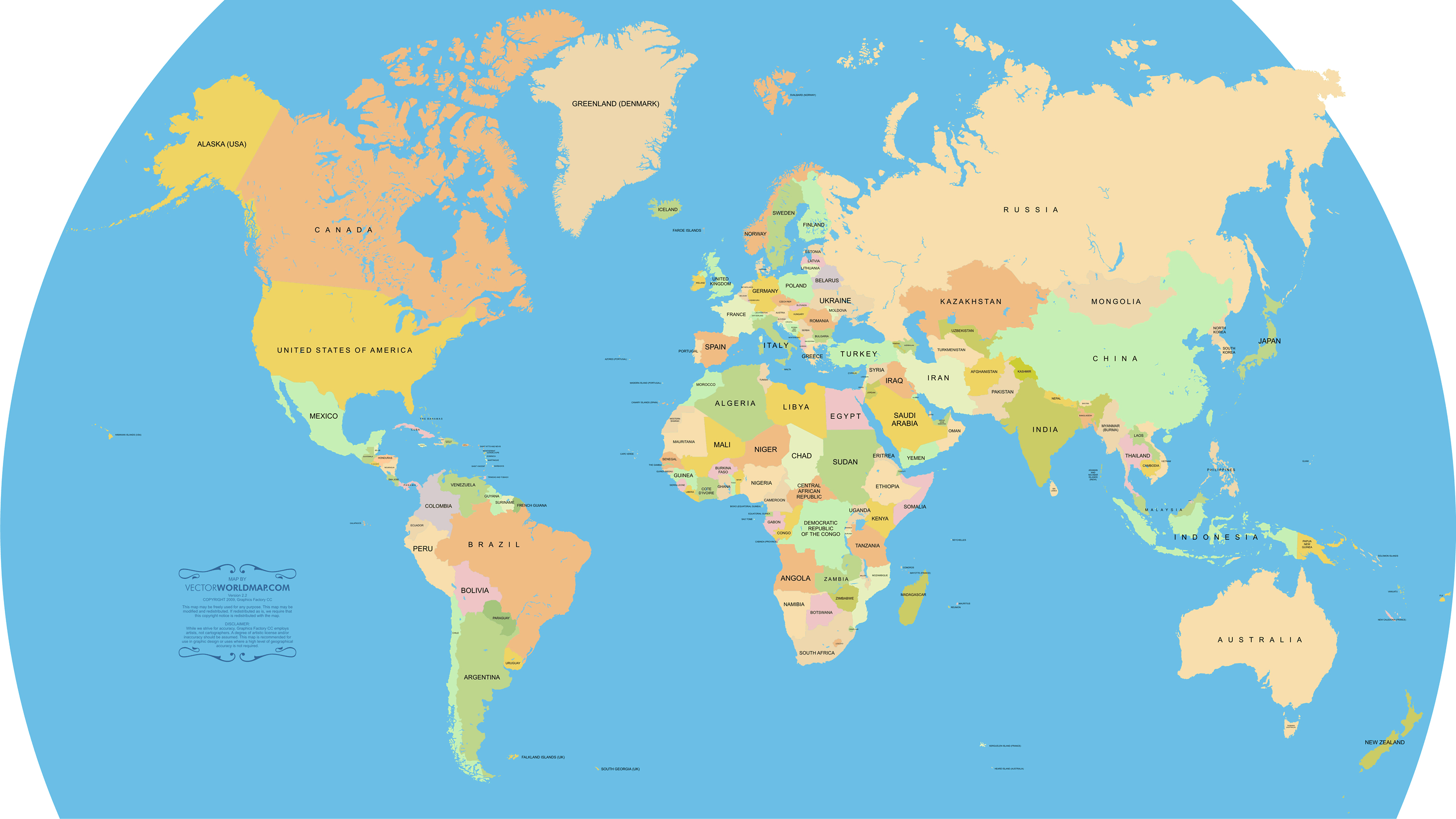
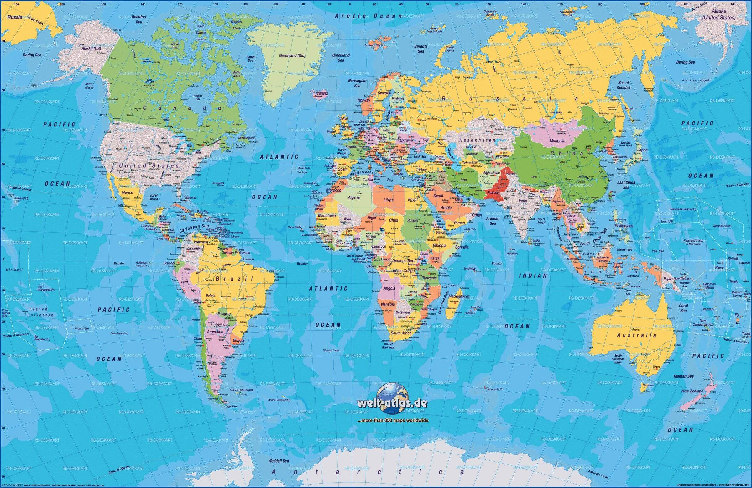
Large World Political Map
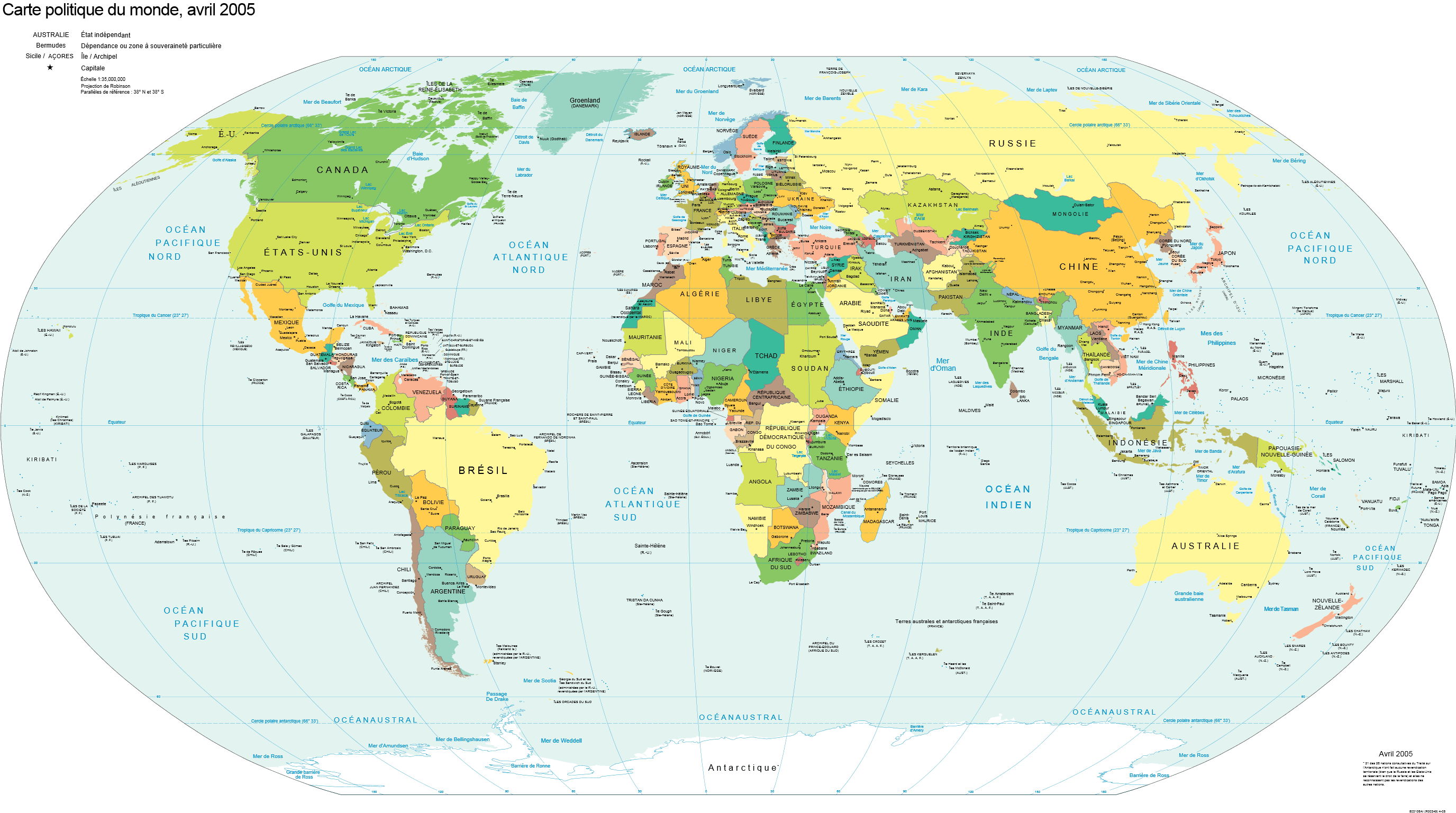
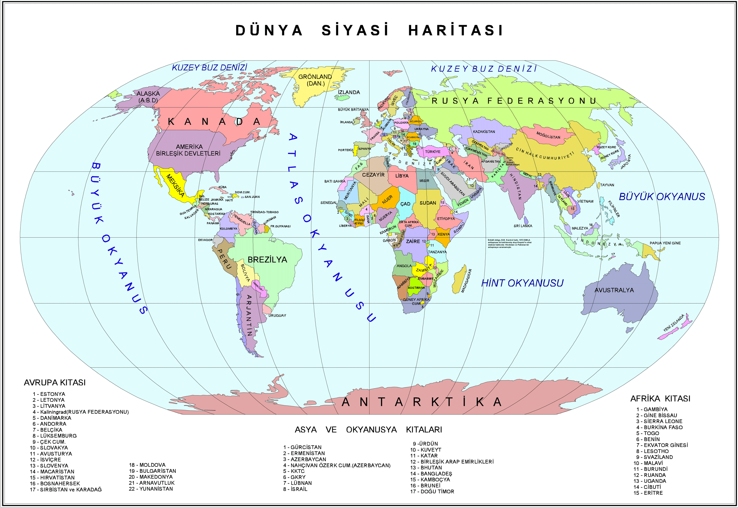
Countries Political Map Of World

Blank Physical World Map
A collection of World Maps and World Satellite Photos

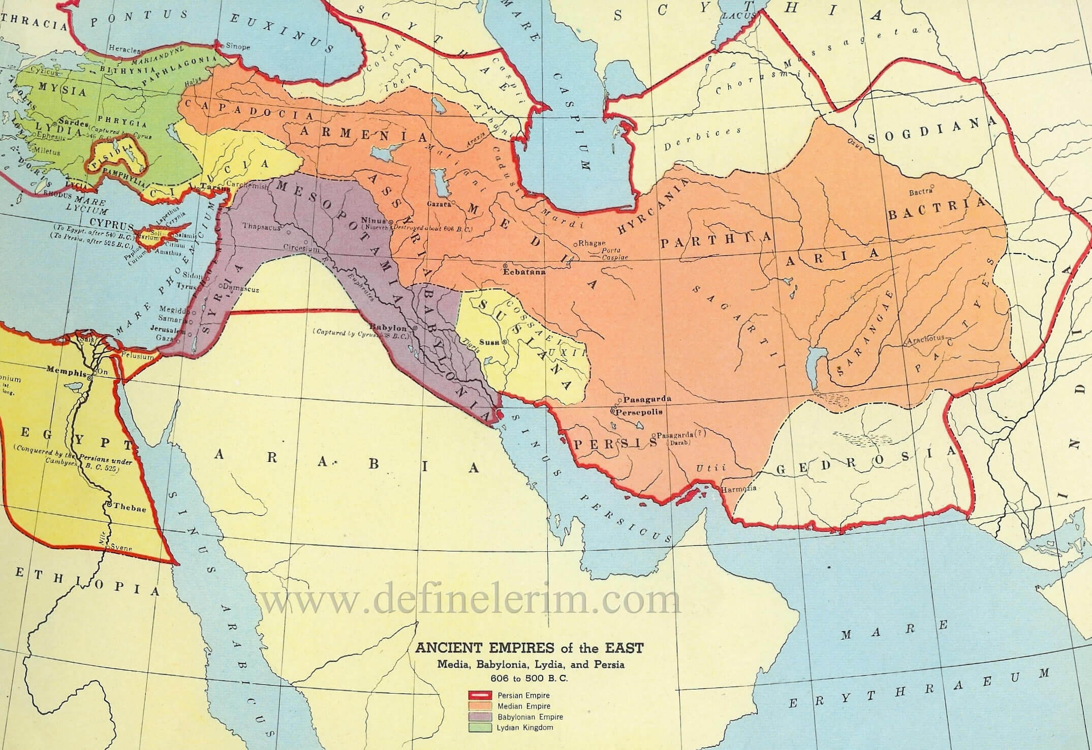


World Historical Maps
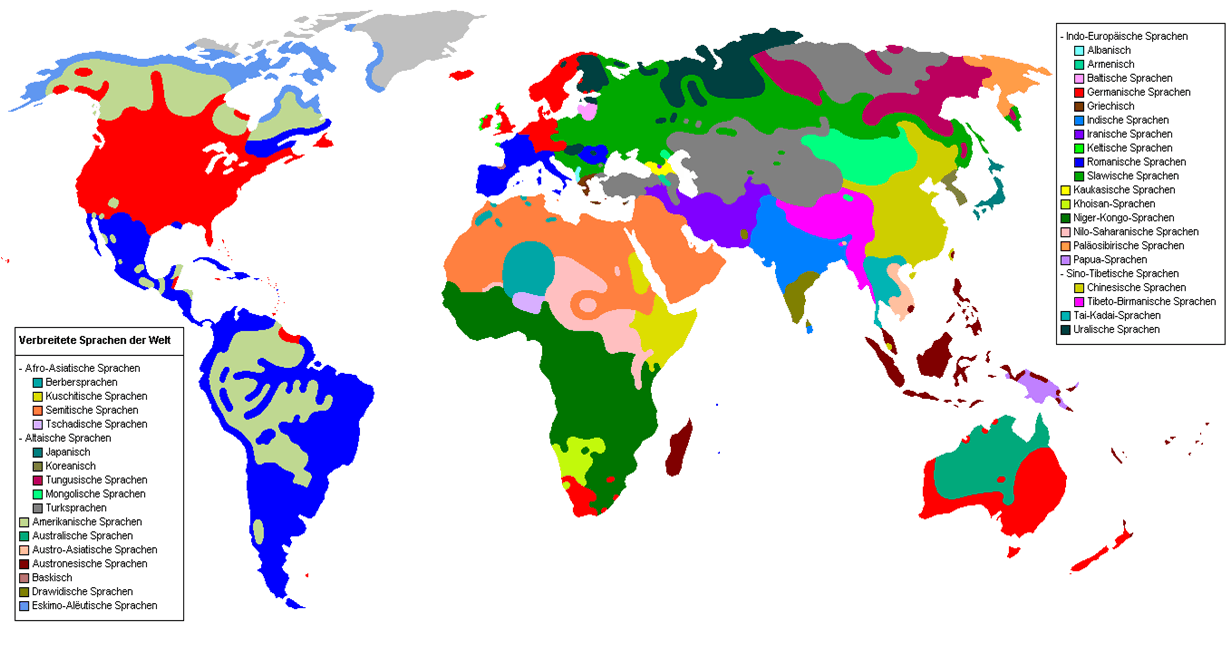
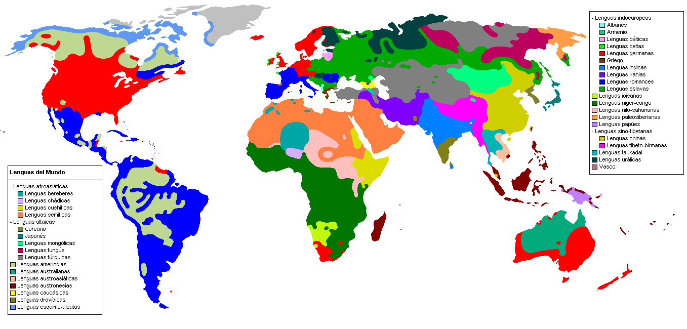
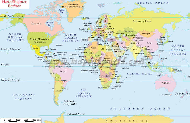
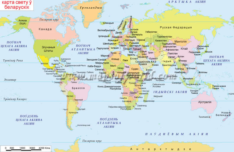
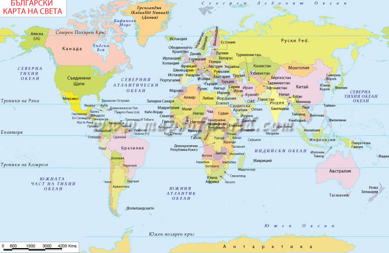
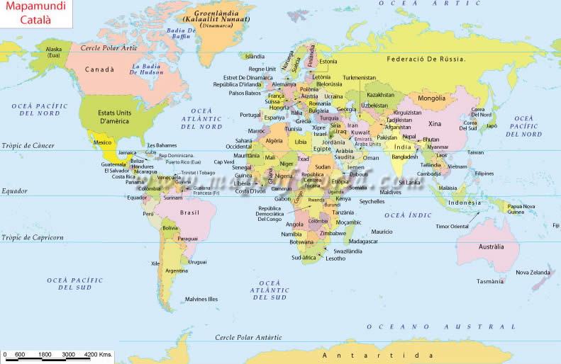
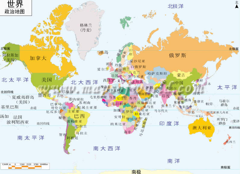
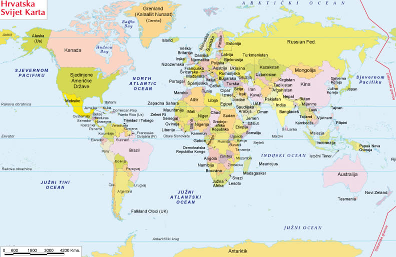
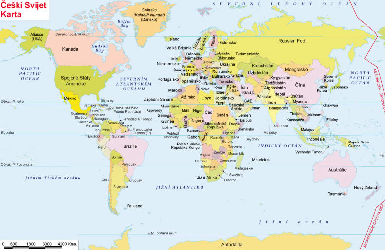
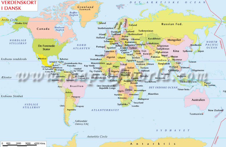
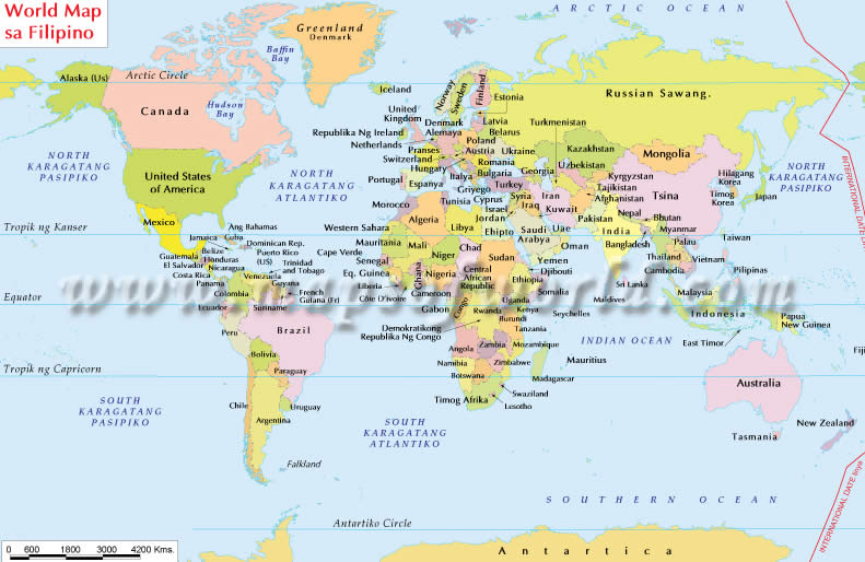
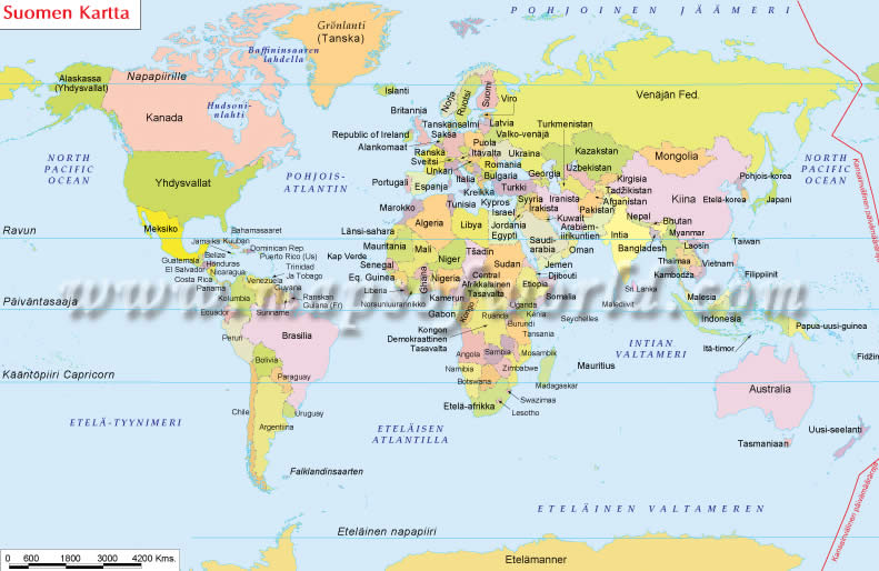
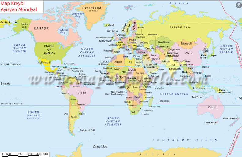
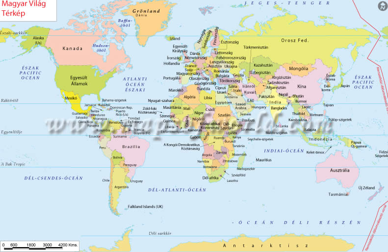
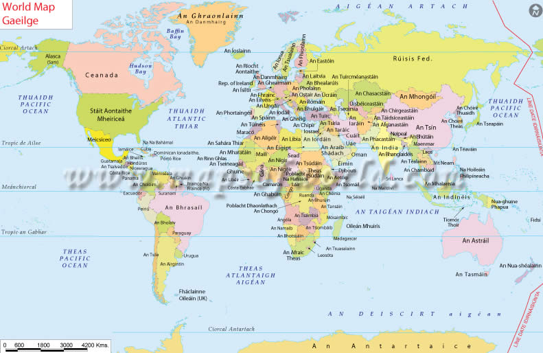
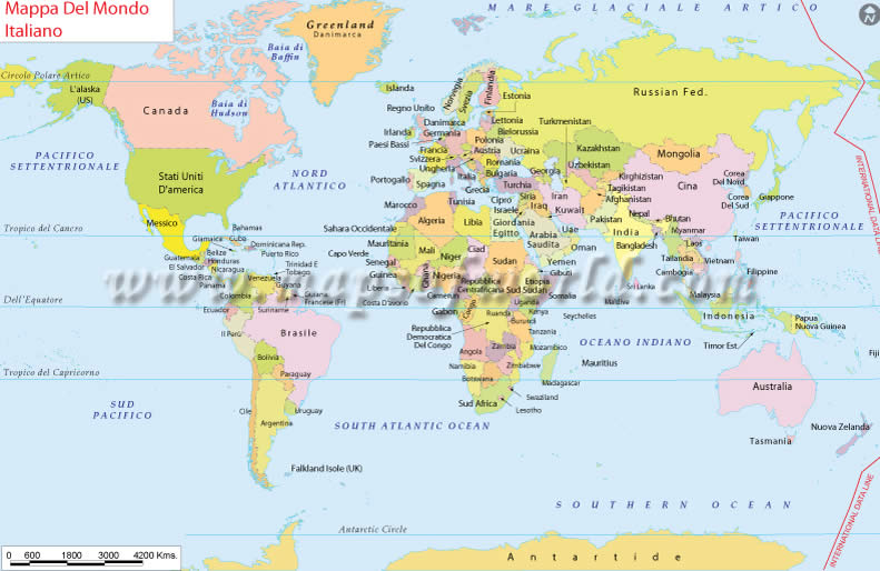
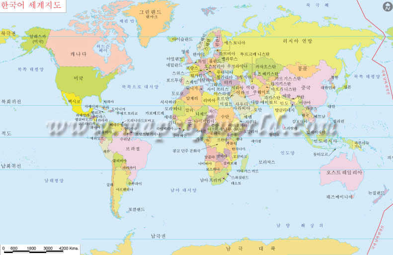
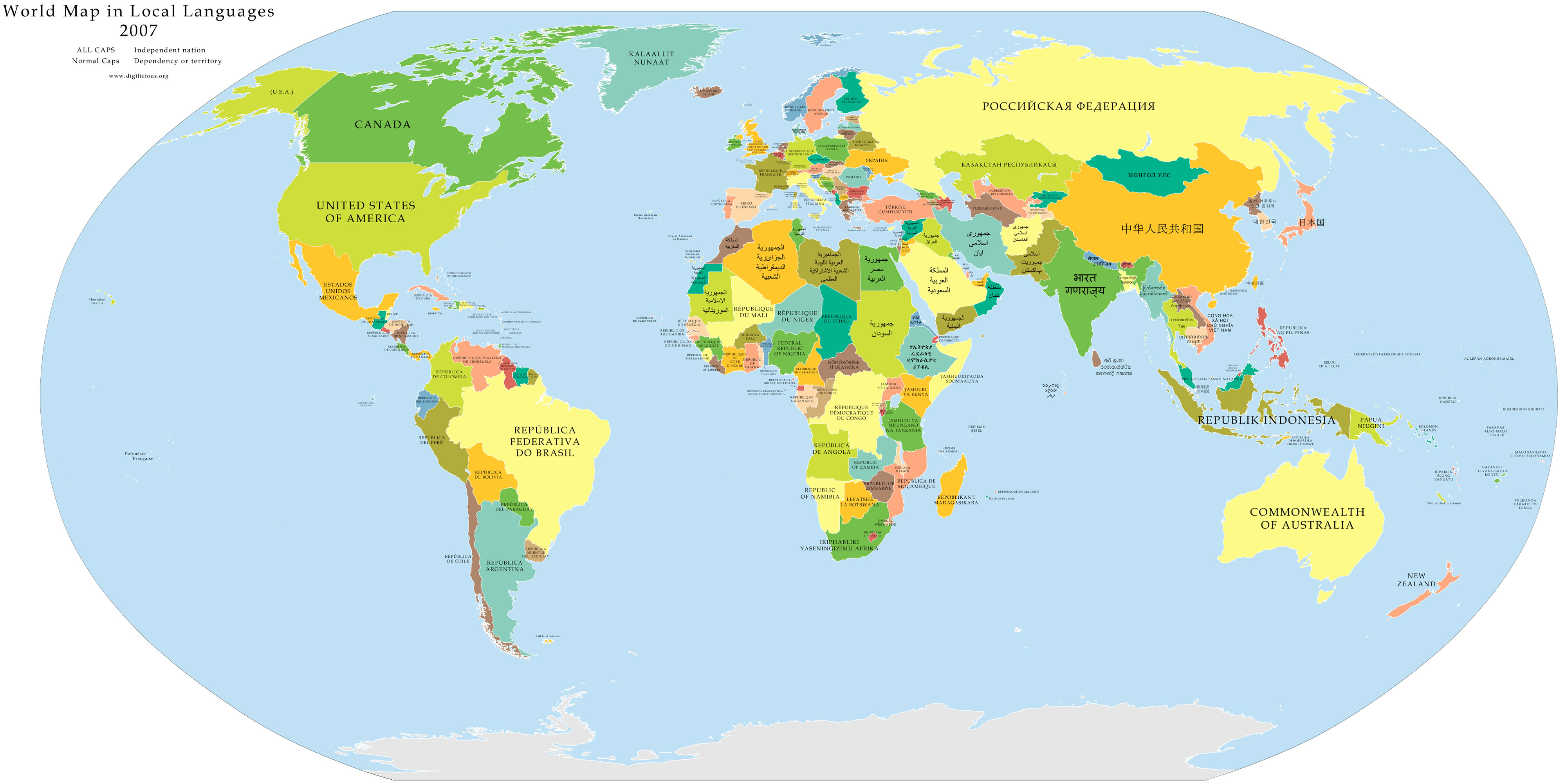
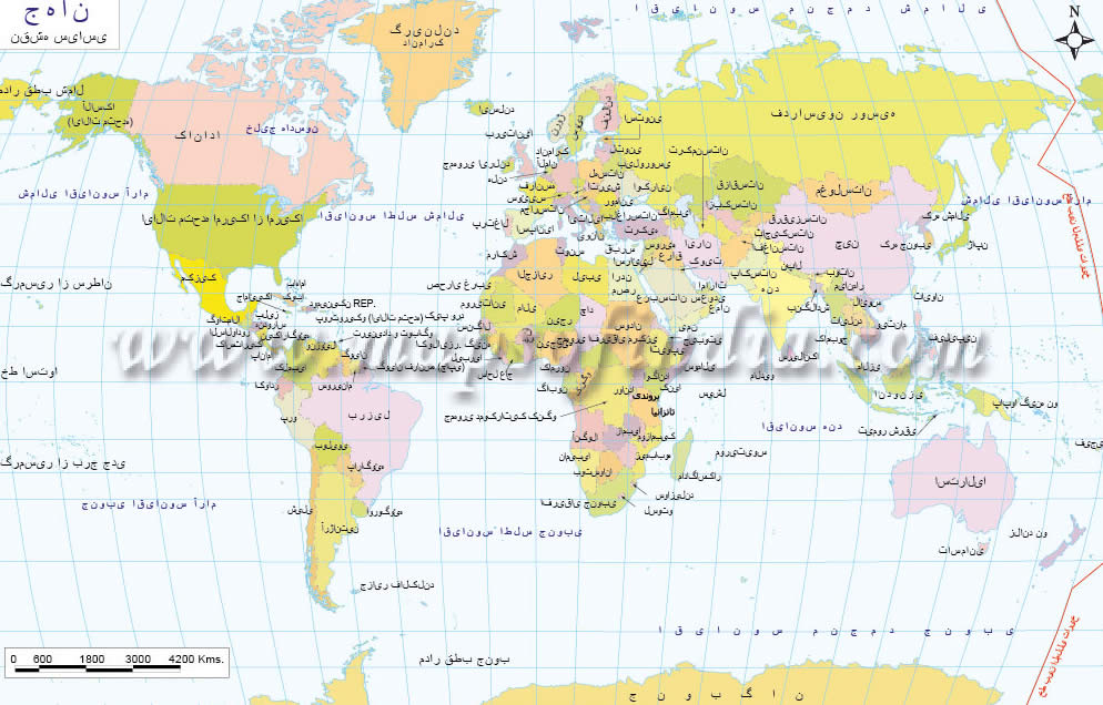
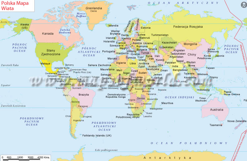
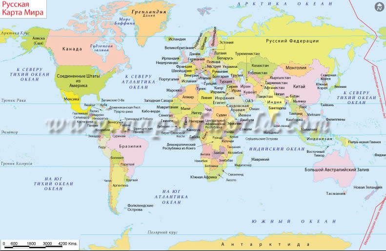
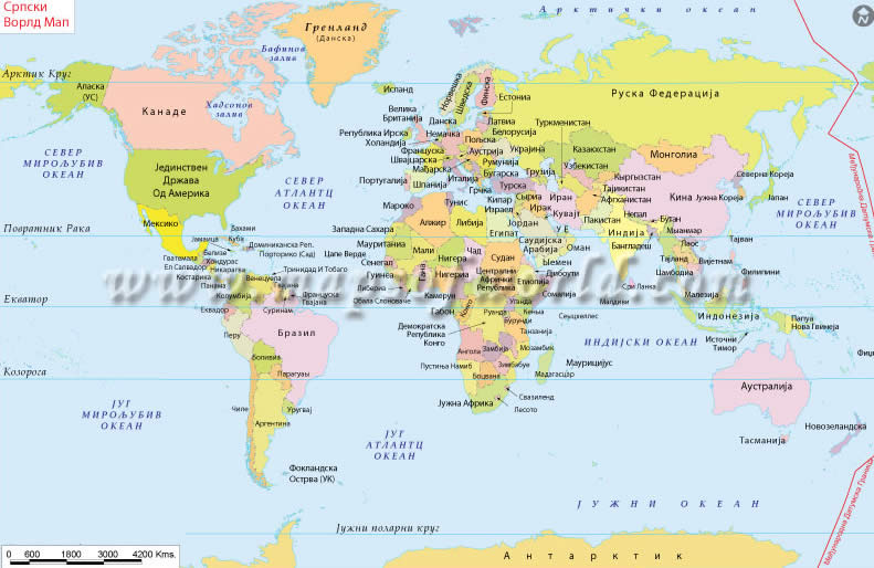
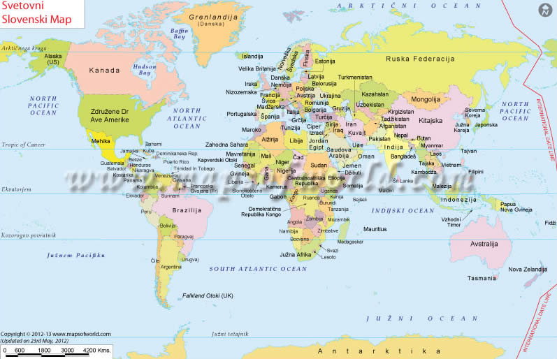
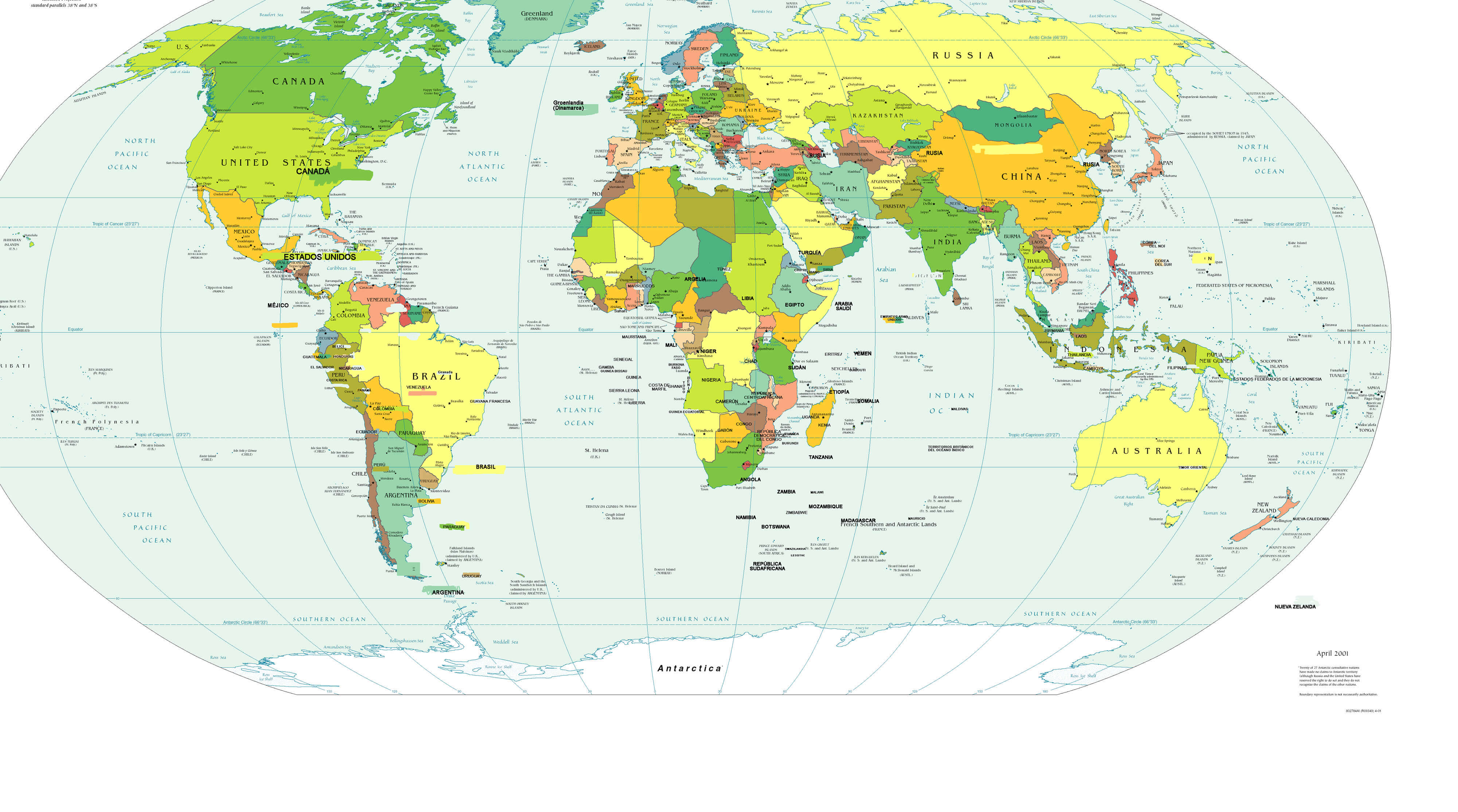
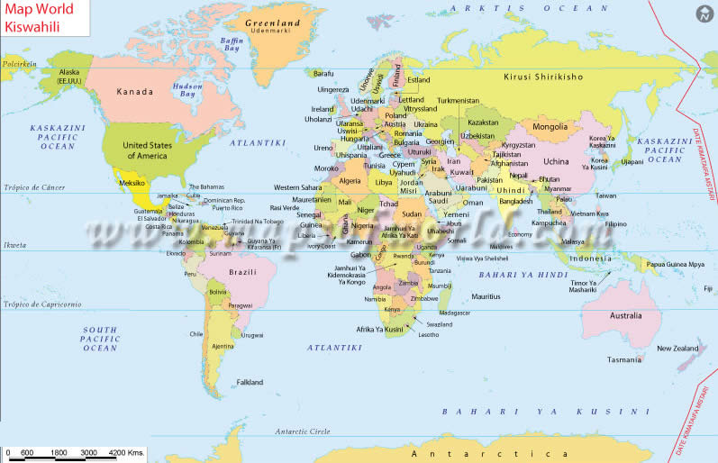
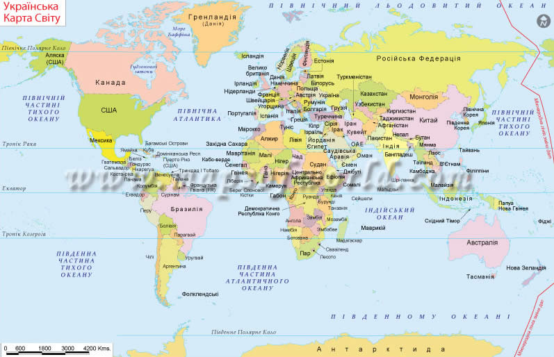
World Maps in Different Languages

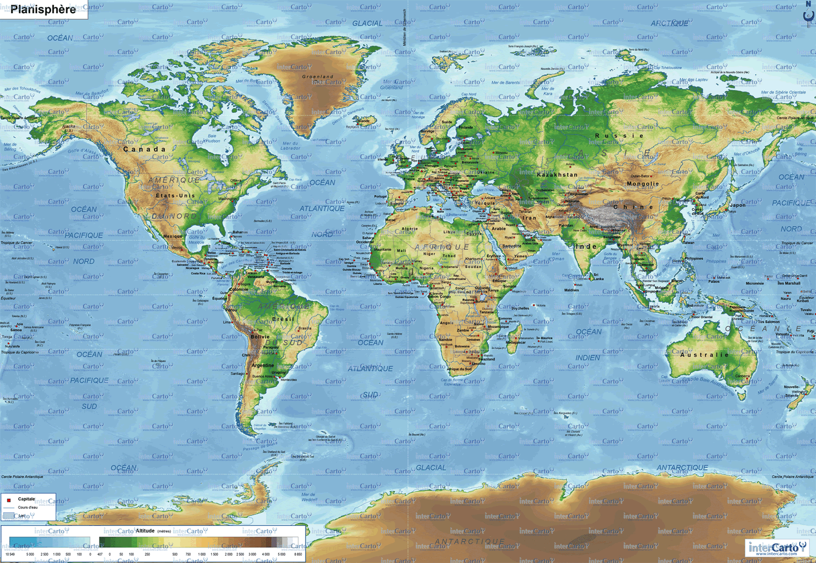


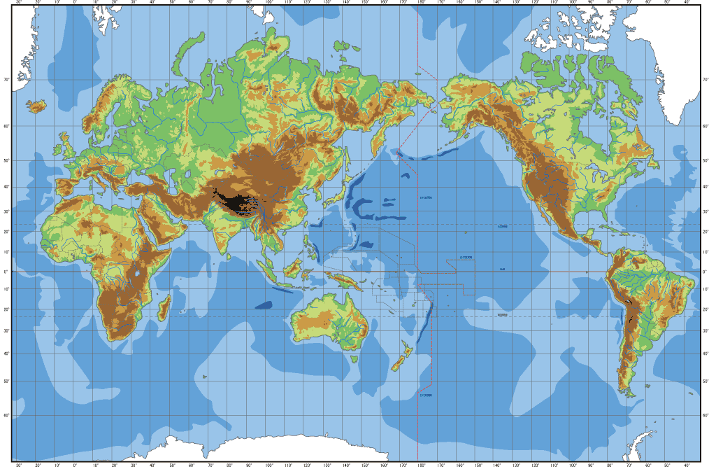
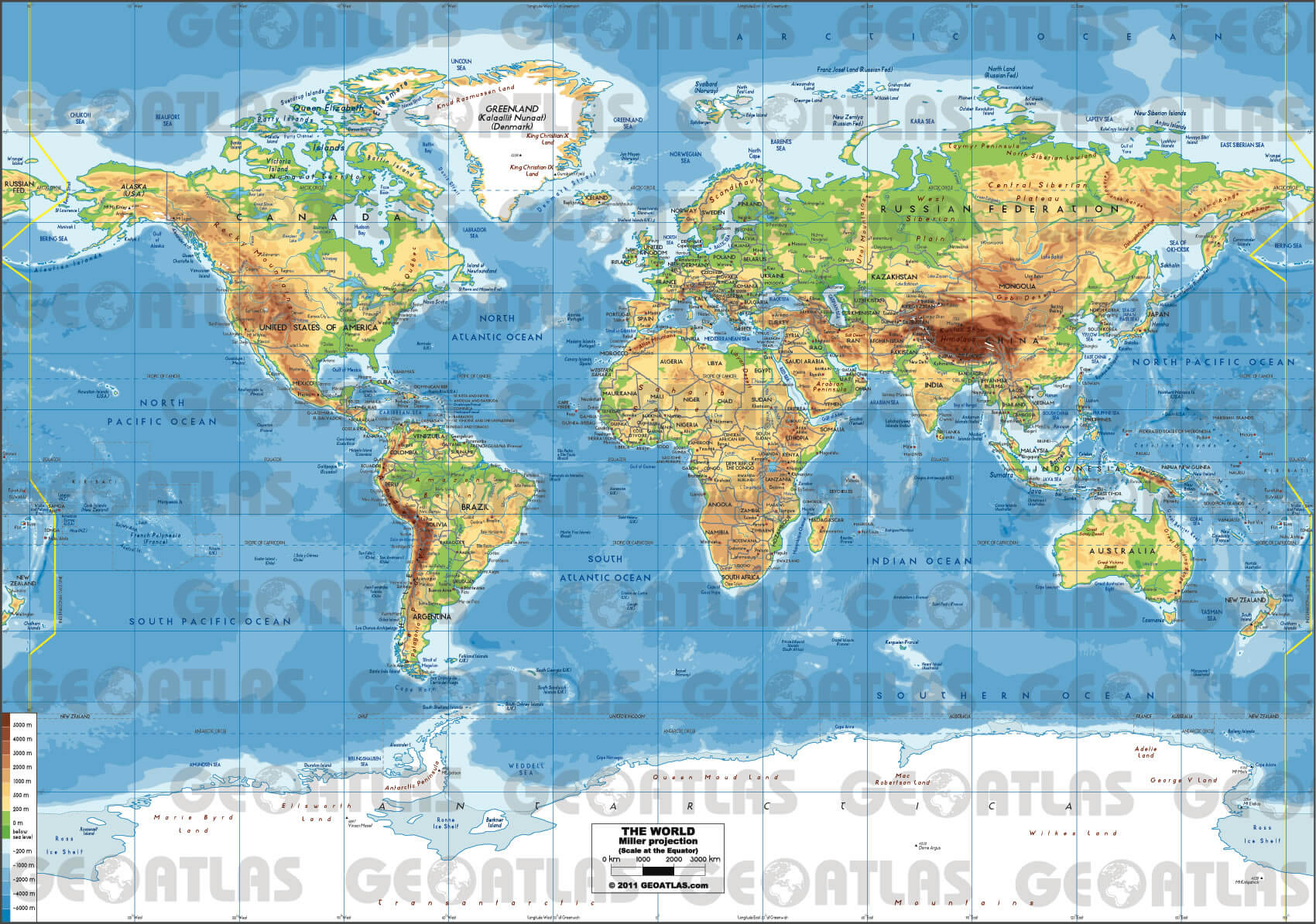
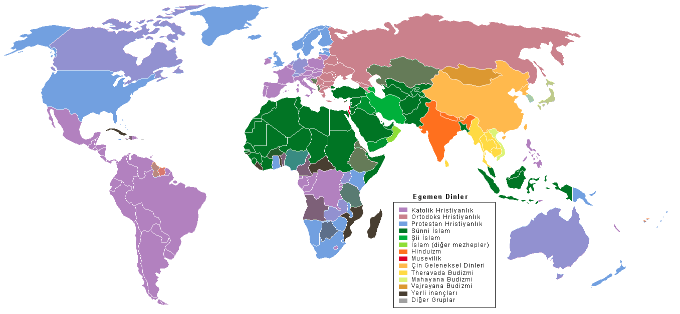
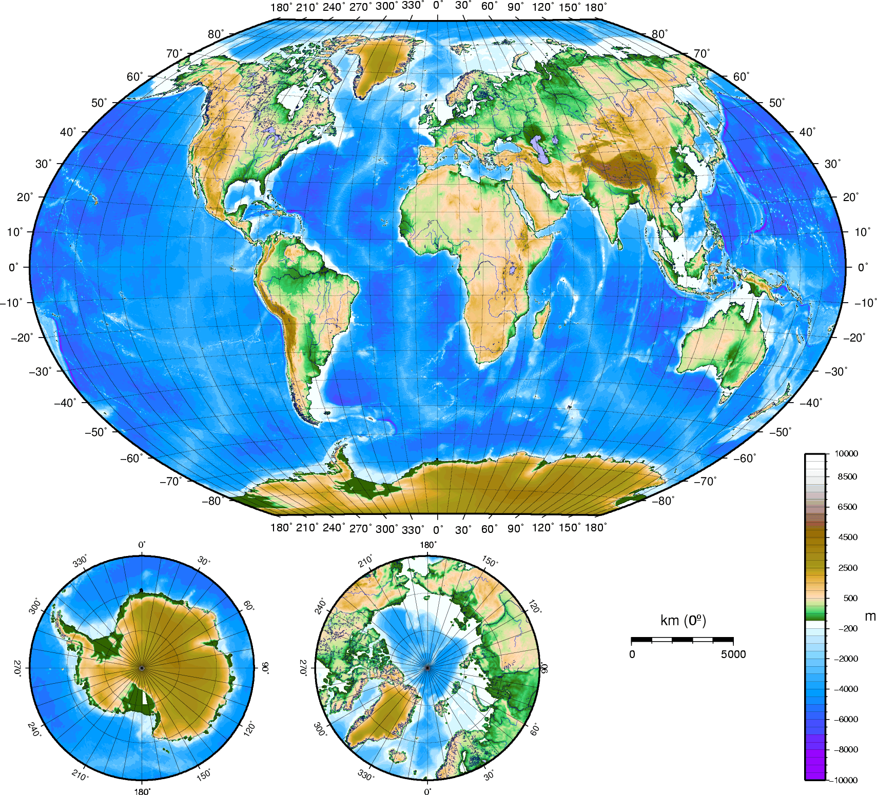
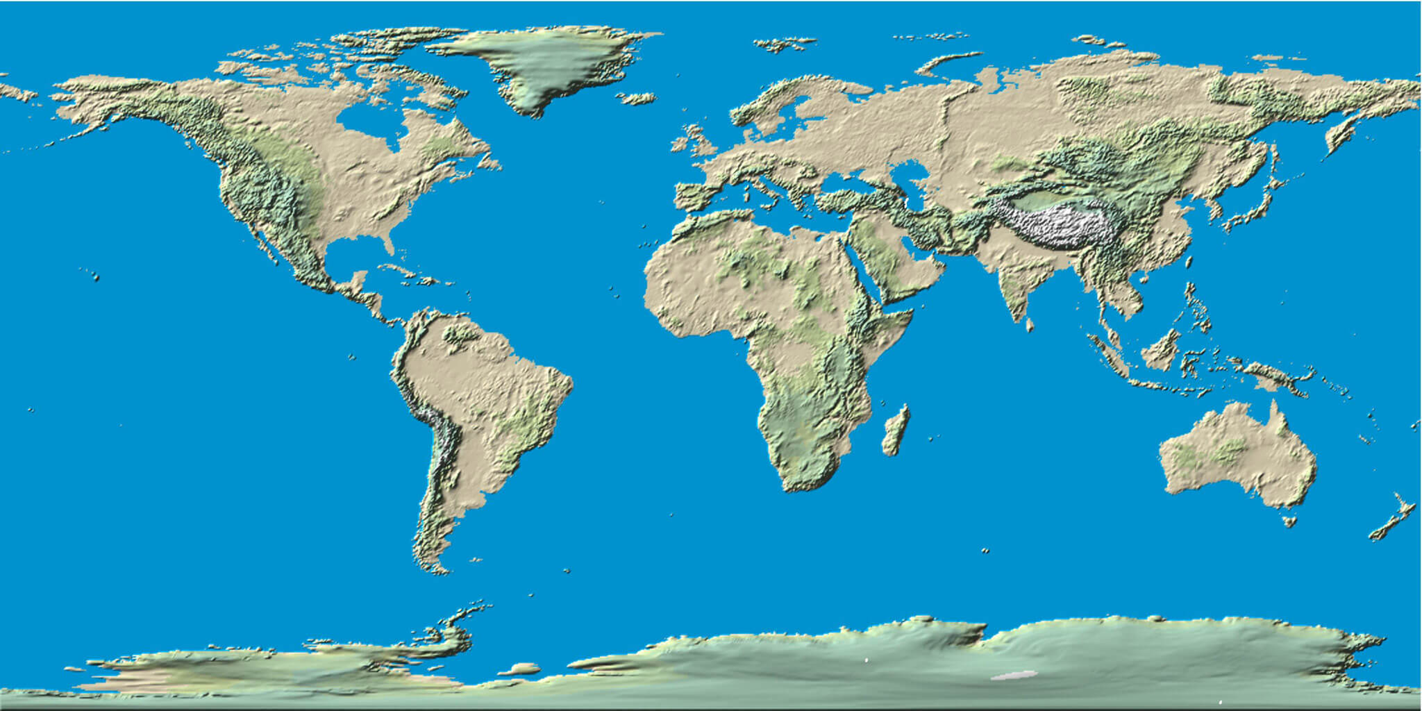
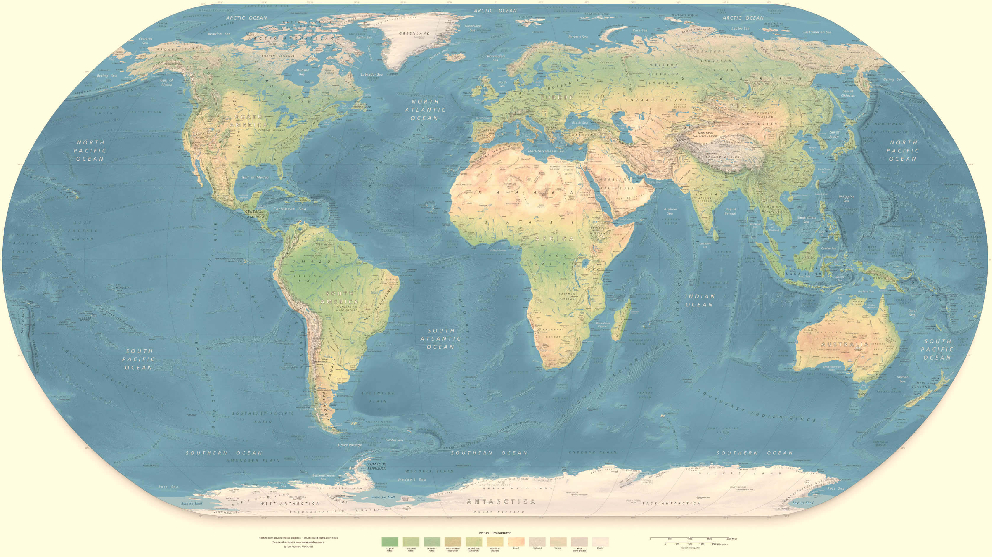
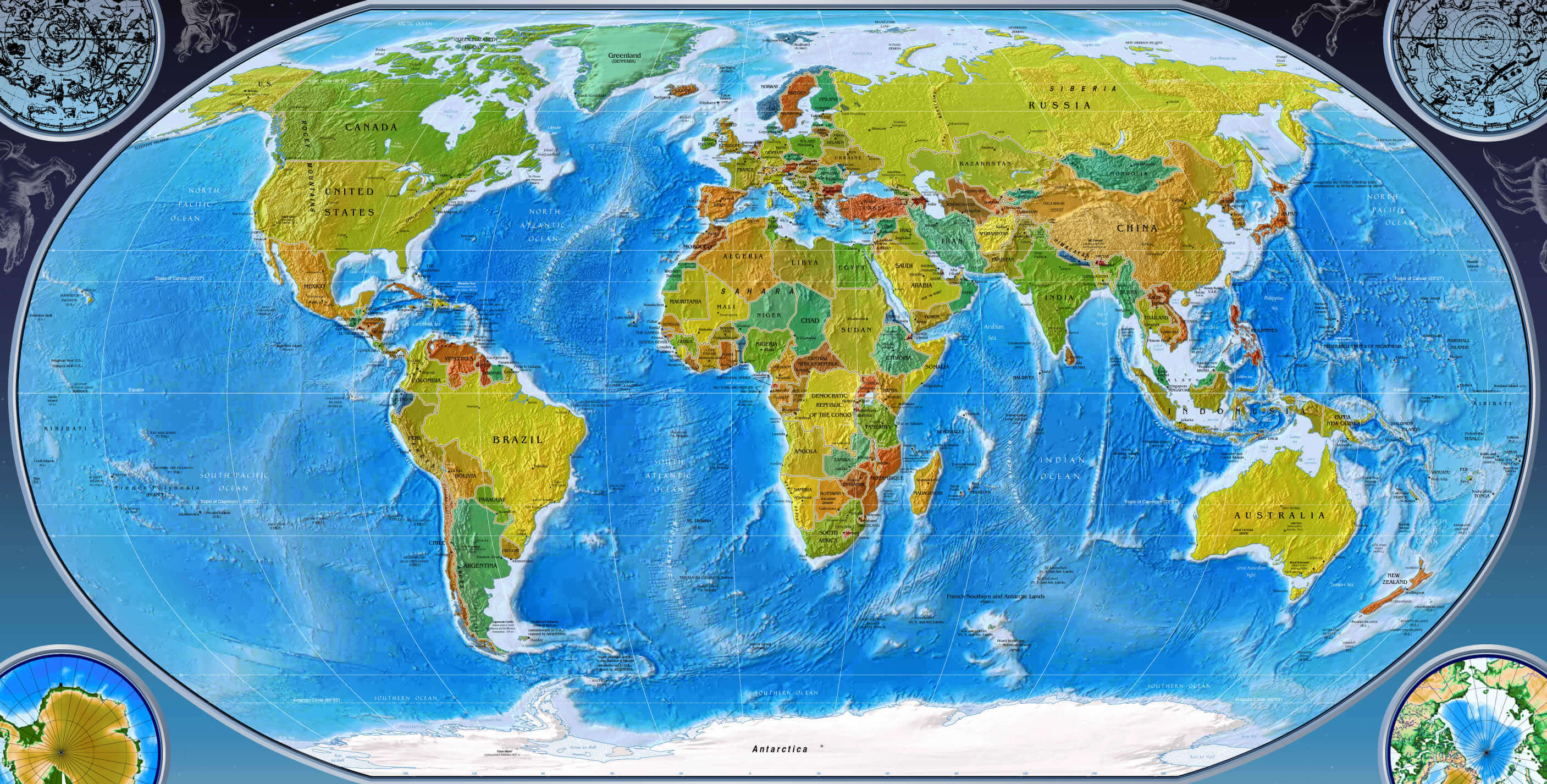
World Physical Maps
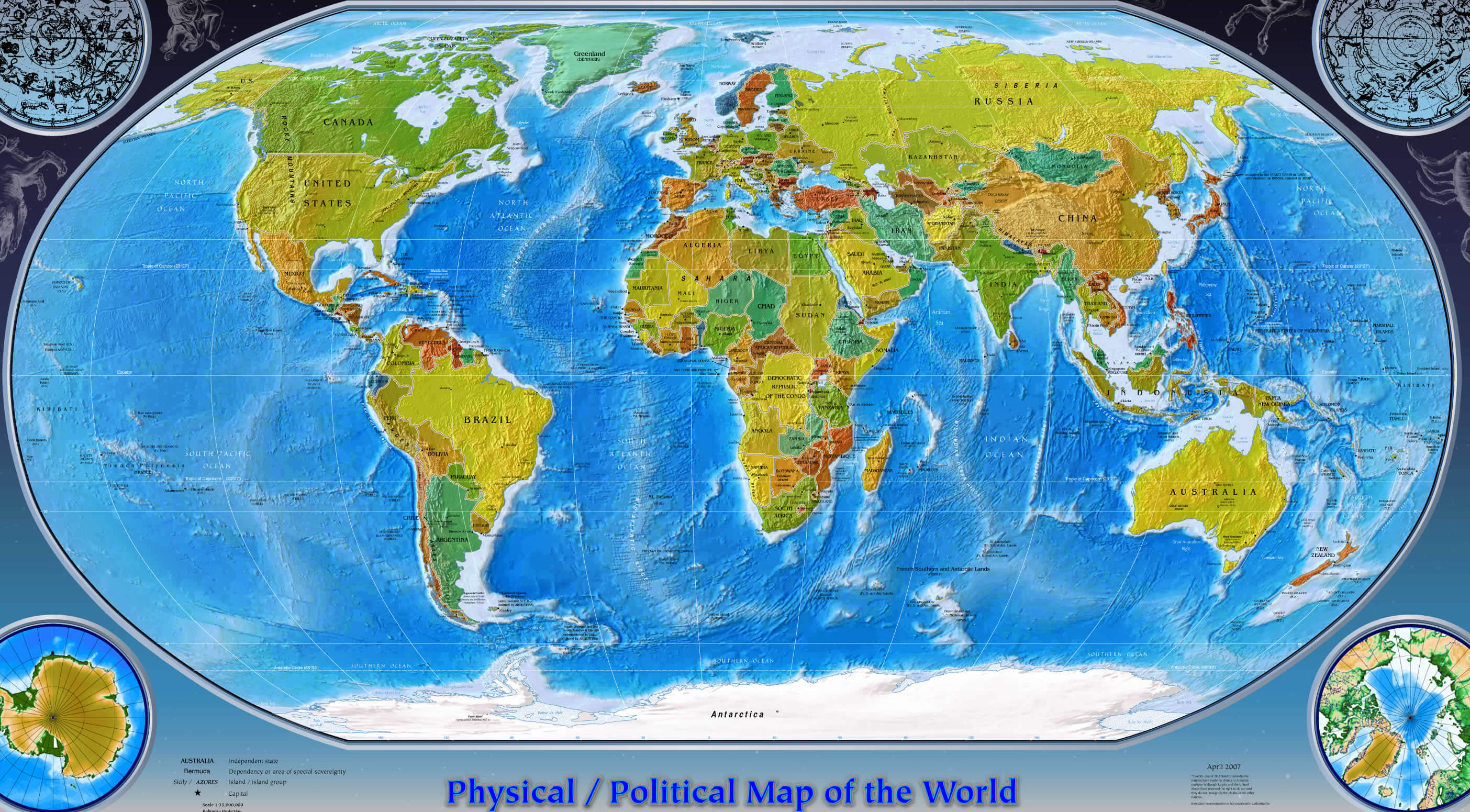
World Political Maps

More World Maps
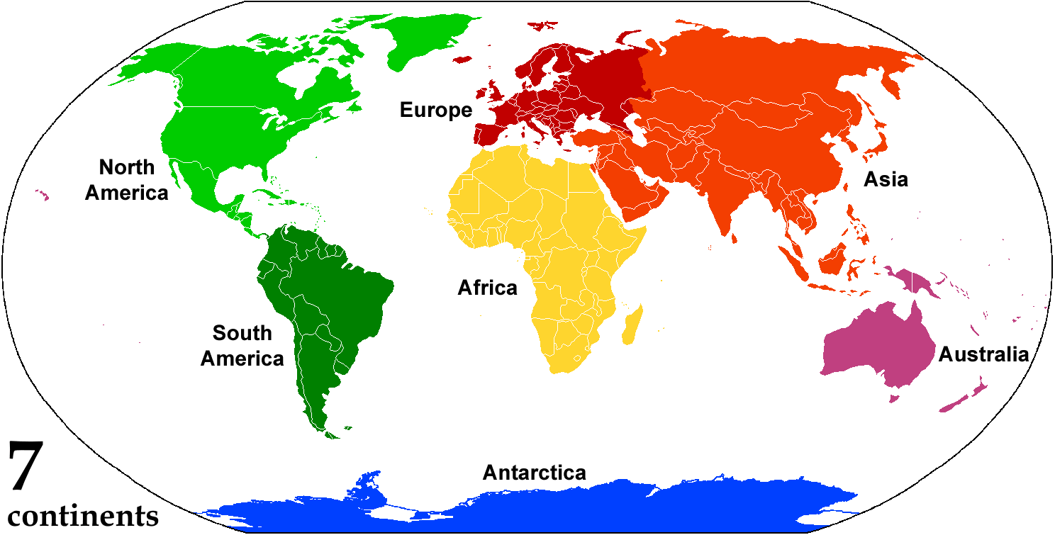
World Countries Map by Continents
North America Countries Map
- Anguilla Map
- Antigua and Barbuda Map
- Aruba Map
- Bahamas Map
- Barbados Map
- Belize Map
- Bermuda Map
- Canada Map
- Cayman Islands Map
- Cocos Islands Map
- Costa Rica Map
- Cuba Map
- Dominica Map
- Dominican Republic Map
- El Salvador Map
- Grenada Map
- Guatemala Map
- Haiti Map
- Honduras Map
- Jamaica Map
- Mexico Map
- Montserrat Map
- Netherlands Antilles Map
- Nicaragua Map
- Panama Map
- Puerto Rico Map
- Saint Barthelemy Map
- Saint Kitts and Nevis Map
- Saint Lucia Map
- Saint Martin Map
- Saint Pierre and Miquelon Map
- Saint Vincent and the Grenadines Map
- Trinidad and Tobago Map
- Turks and Caicos Islands Map
- United States Map
- British Virgin Islands Map
- US Virgin Islands Map
South America Countries Map
- Argentina Map
- Bolivia Map
- Brazil Map
- Chile Map
- Paraguay Map
- Peru Map
- Uruguay Map
- Venezuela Map
- Ecuador Map
- Falkland Islands Map
- Guyana Map
- French Guiana Map
- Suriname Map
- Colombia Map
- Easter Island Map
Oceania Countries Map
- American Samoa Map
- Antarctica Map
- Australia Map
- Kiribati Map
- Marshall Islands Map
- Micronesia Map
- Nauru Map
- New Caledonia Map
- New Zealand Map
- Niue Map
- Norfolk Island Map
- Northern Mariana Islands Map
- Palau Map
- Papua New Guinea Map
- Pitcairn Islands Map
- Samoa Map
- Solomon Islands Map
- Tokelau Map
- Tonga Map
- Tuvalu Map
- Vanuatu Map
- Wallis and Futuna Map
- Christmas Island Map
- Cook Islands Map
- Fiji Map
- French Polynesia Map
- Guam Map
Europe Countries Map
- Abkhazia Map
- Akrotiri and Dhekelia Map
- Aland Islands Map
- Albania Map
- Andorra Map
- Armenia Map
- Austria Map
- Azerbaijan Map
- Belarus Map
- Belgium Map
- Estonia Map
- Faroe Islands Map
- Finland Map
- Bosnia and Herzegovina Map
- Bulgaria Map
- Croatia Map
- Cyprus Map
- Czech Republic Map
- Denmark Map
- France Map
- Georgia Map
- Germany Map
- Gibraltar Map
- Jersey Map
- Kosovo Map
- Latvia Map
- Greece Map
- Guernsey Map
- Liechtenstein Map
- Lithuania Map
- Luxembourg Map
- Hungary Map
- Iceland Map
- Macedonia Map
- Malta Map
- Moldova Map
- Northern Cyprus Map
- Norway Map
- Poland Map
- Transnistria Map
- Turkey Map
- Ireland Map
- Isle of Man Map
- Ukraine Map
- United Kingdom Map
- Monaco Map
- Montenegro Map
- Nagorno Karabakh Map
- Portugal Map
- Romania Map
- San Marino Map
- Serbia Map
- Slovakia Map
- Slovenia Map
- South Ossetia Map
- Spain Map
- Sweden Map
- Switzerland Map
- Italy Map
- Netherlands Map
- England Map
- Wales Map
- Scotland Map
- Vatican Map
Asia Countries Map
- Afghanistan Map
- Bahrain Map
- Bangladesh Map
- Bhutan Map
- Brunei Map
- Cambodia Map
- China Map
- East Timor Map
- Hong Kong Map
- India Map
- Indonesia Map
- Iran Map
- Japan Map
- Jordan Map
- Kazakhstan Map
- Kuwait Map
- Kyrgyzstan Map
- Laos Map
- Lebanon Map
- Macau Map
- Malaysia Map
- Maldives Map
- North Korea Map
- Oman Map
- Pakistan Map
- Palestine Map
- Philippines Map
- Qatar Map
- Taiwan Map
- Tajikistan Map
- Russia Map
- Saudi Arabia Map
- Thailand Map
- Turkmenistan Map
- Singapore Map
- South Korea Map
- Sri Lanka Map
- United Arab Emirates Map
- Uzbekistan Map
- Vietnam Map
- Mongolia Map
- Myanmar Map
- Nepal Map
- Syria Map
- Iraq Map
- Israel Map
- Yemen Map
Antarctica Countries Map
Africa Countries Map
- Algeria Map
- Angola Map
- Ascension Island Map
- Benin Map
- Botswana Map
- Burkina Faso Map
- Burundi Map
- Cameroon Map
- Cape Verde Map
- Central African Republic Map
- Djibouti Map
- Egypt Map
- Equatorial Guinea Map
- Eritrea Map
- Ethiopia Map
- Gabon Map
- Gambia Map
- Ghana Map
- Guinea Map
- Kenya Map
- Lesotho Map
- Liberia Map
- Libya Map
- Madagascar Map
- Malawi Map
- Mali Map
- Mauritania Map
- Rwanda Map
- Saint Helena Map
- Sao Tome and Principe Map
- Senegal Map
- Mauritius Map
- Mayotte Map
- Morocco Map
- Tanzania Map
- Togo Map
- Tristan da Cunha Map
- Tunisia Map
- Seychelles Map
- Sierra Leone Map
- Somalia Map
- Somaliland Map
- Mozambique Map
- Namibia Map
- Niger Map
- Nigeria Map
- South Africa Map
- Sudan Map
- Uganda Map
- Western Sahara Map
- Zambia Map
- Zimbabwe Map
- Guinea Bissau Map
- Ivory Coast Map
- Chad Map
- Comoros Map
- Congo Map
- Cote d'Ivoire Map
- Democratic Republic Congo Map
- South Sudan Map
- Swaziland Map
Addresse: Hakarinne 2 Espoo, Uusimaa - Finland 02210
Web: istanbul-city-guide.com
Email: [email protected]
Web: istanbul-city-guide.com
Email: [email protected]
Copyright istanbul-city-guide.com - 2004 - 2026. All rights reserved. Privacy Policy | Disclaimer