Armenia Map and Armenia Satellite Images
Explore map of Armenia, Armenia map, cities map of Armenia, satellite images of Armenia, Armenia largest cities maps, political map of Armenia, driving directions, country atlas and traffic map.
Armenia Map FQA
How many cities are in Armenia ?
Armenia has about 50 cities and towns. The 10 largest are: Yerevan, Gyumri, Vanadzor, Vagharshapat, Hrazdan, Abovyan, Kapan, Armavir, Gavar, and Goris.What are the major geographical features of Armenia ?
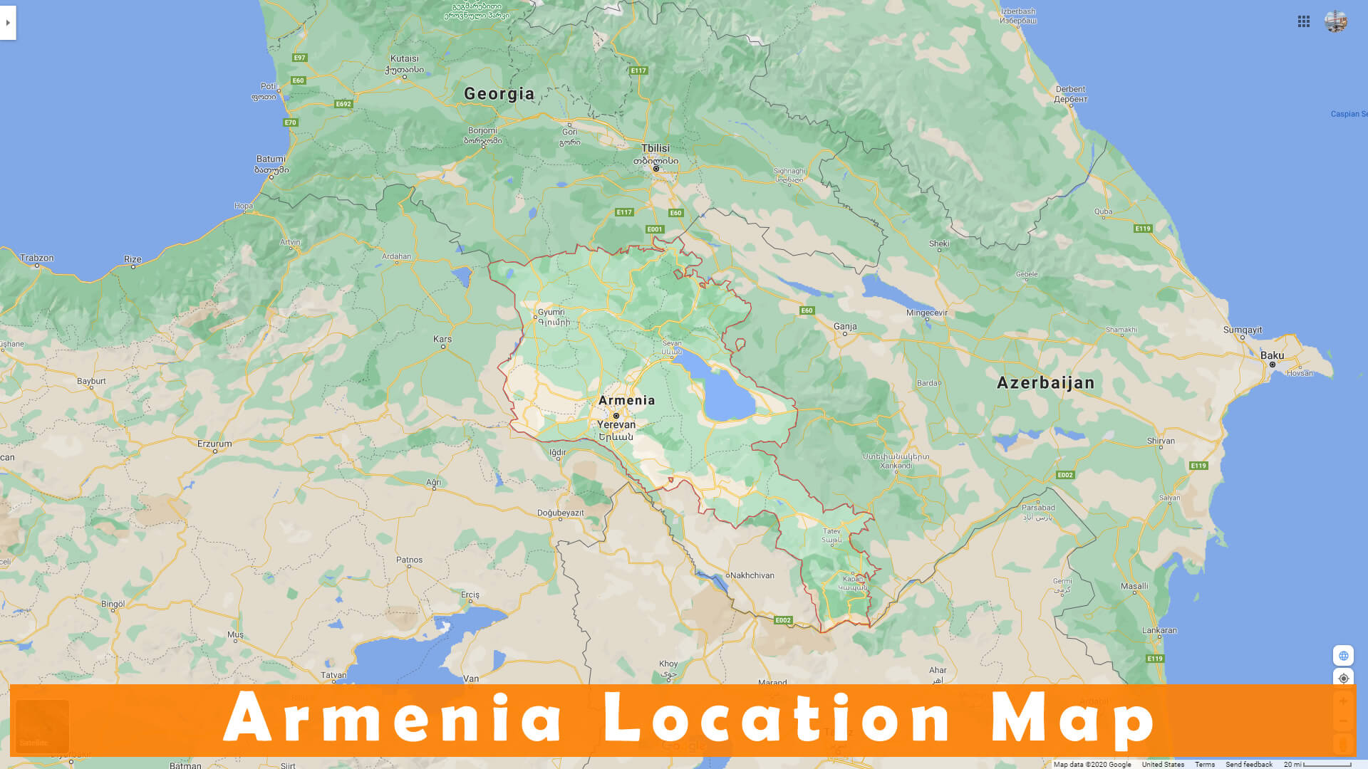
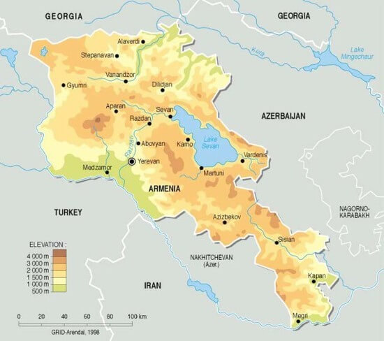
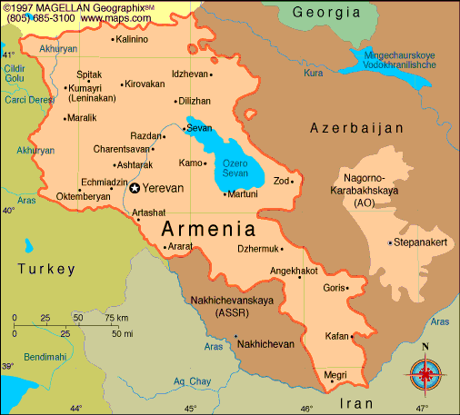
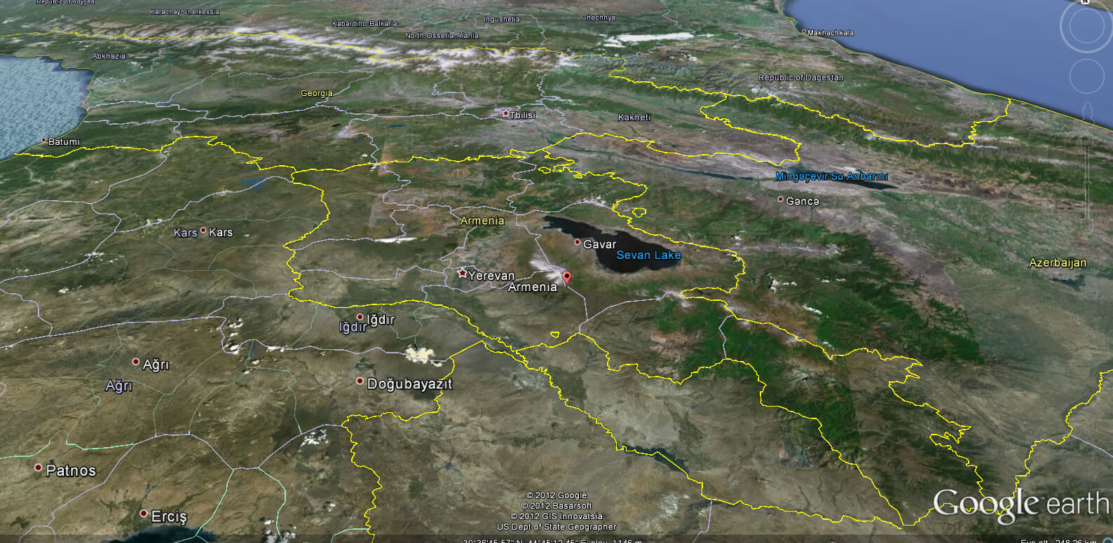
Armenia is a landlocked country in the South Caucasus, dominated by mountains and high plateaus. The Lesser Caucasus range, Mount Aragats, and the Ararat plain define its landscape, along with rivers like the Aras.ARMENIE NATIONAL MAP

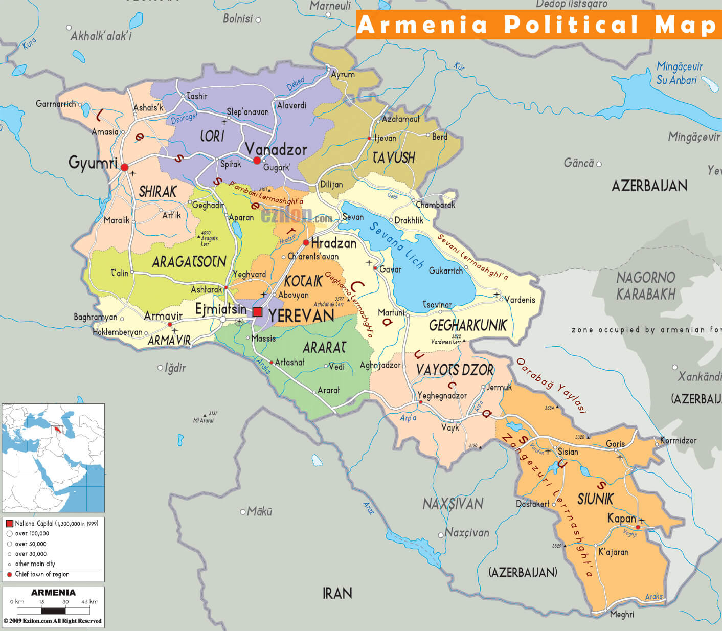
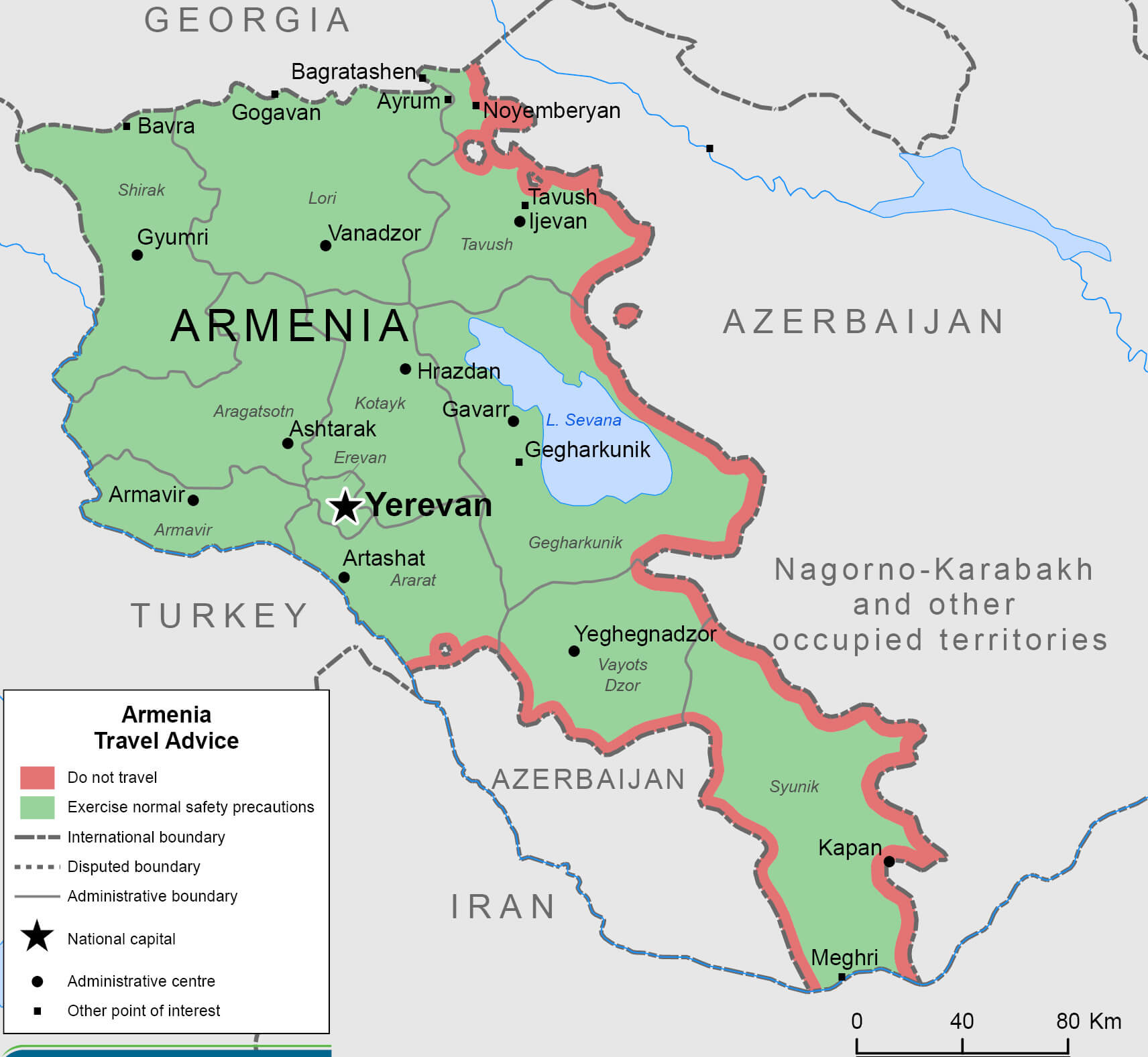
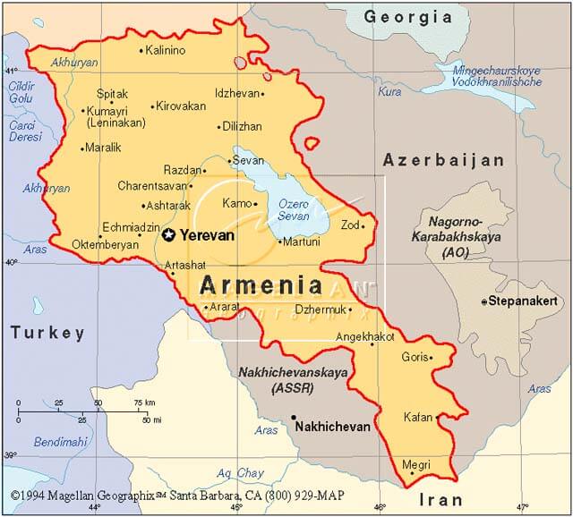
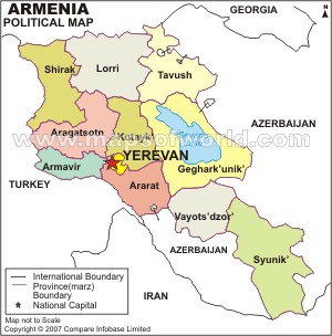
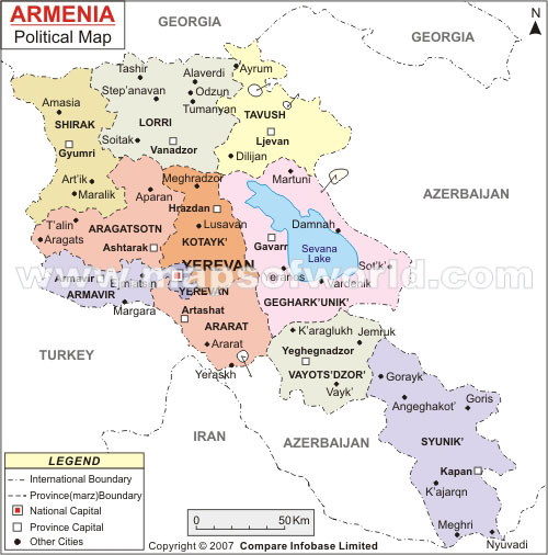
ARMENIA POLITICAL MAP
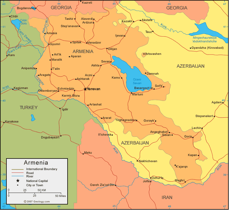
ARMENIE NATIONAL MAP
Can I download a high-resolution map of Armenia ?
Yes. Download high-resolution political and physical maps of Armenia for personal or educational use. Redistribution is subject to the terms of our license.
- Capital : Yerevan
- Population : 3,262,200
- GDP : $10.106 billion
- Per Capita : $3,032
- Calling Code : +374
- Jobless Rate : 5.90%
- Time Zone : +4
For more about Armenia >>
A Collection of Armenia Maps and Armenia Satellite Images
MAP OF ARMENIA
ARMENIA POLITICAL MAP

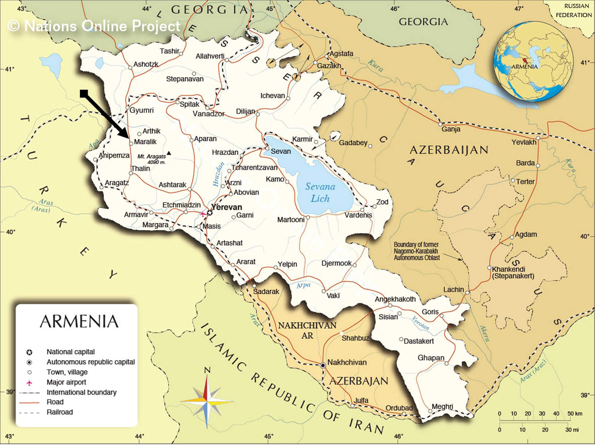
ARMENIE NATIONAL MAP
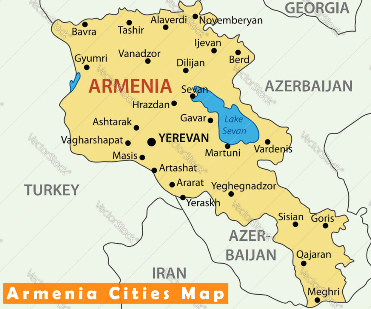
ARMENIA CITIES MAP
ARMENIA TRAVEL MAP
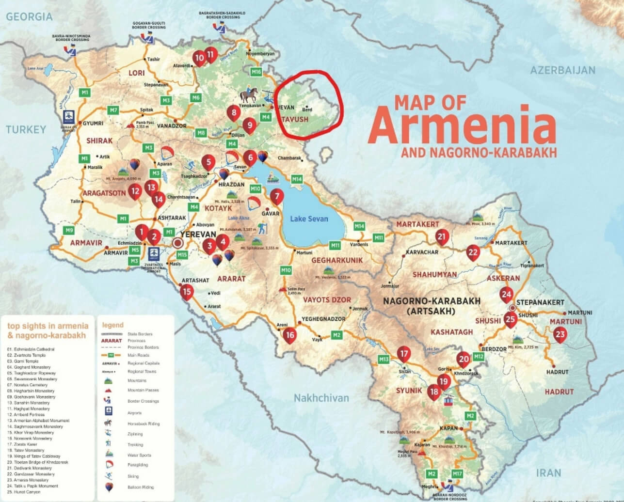
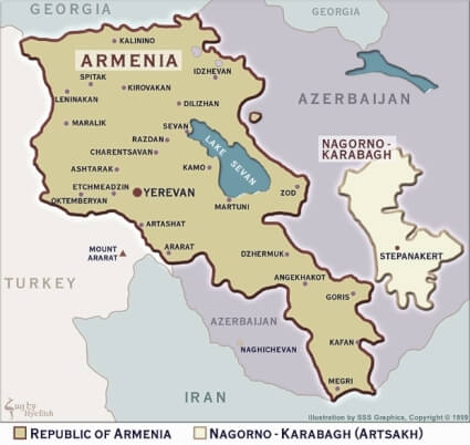
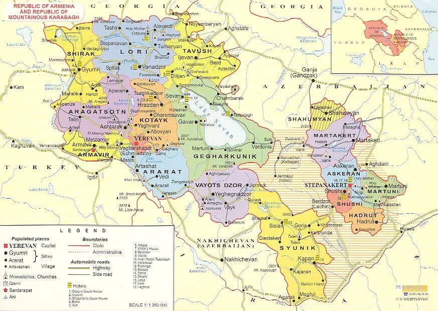
MAP OF ARMENIA AND NAGORNO KARABAKH
KINGDOM OF ARMENIA MAP

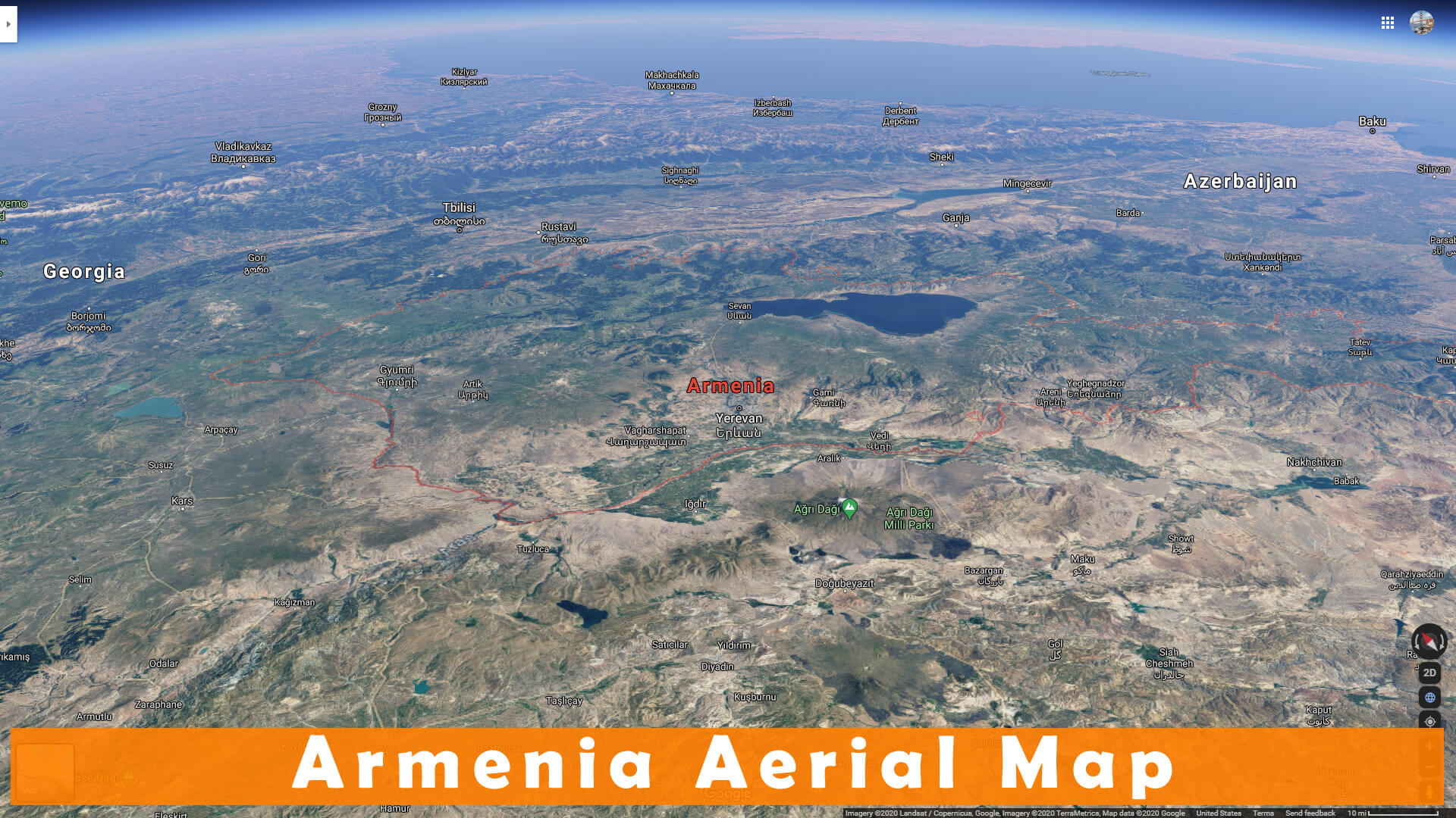
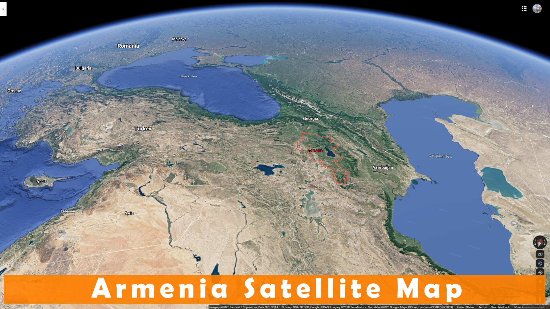
ARMENIA AERIAL MAP
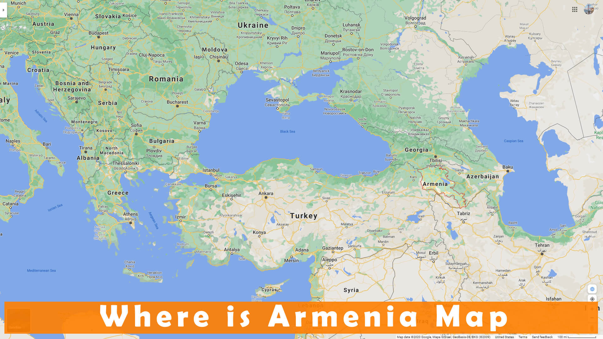
WHERE IS ARMENIA MAP
WHERE IS ARMENIA IN THE WORLD
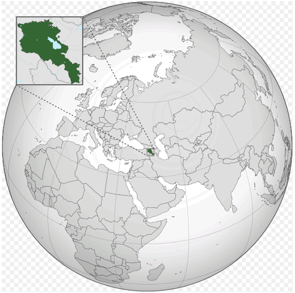
ARMENIA LOCATION MAP
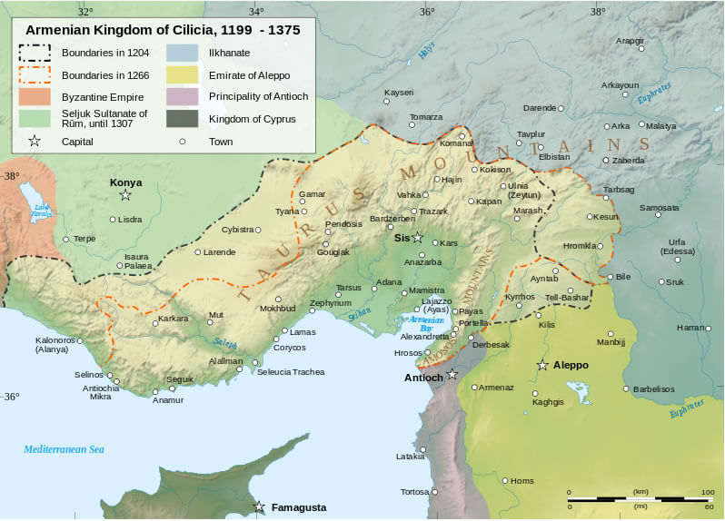
ARMENIAN KINGDOM OF CILICIA 1199 1375
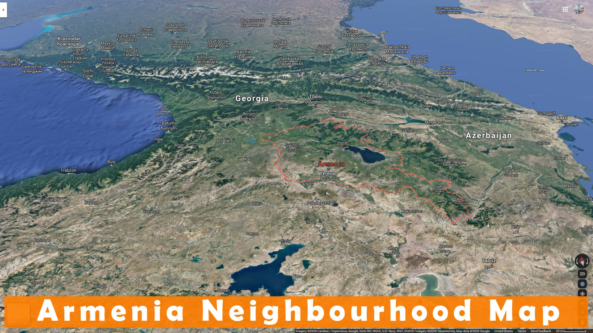
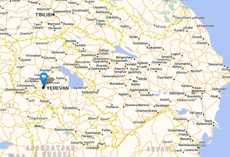
ARMENIA NEIGHBOURHOOD MAP
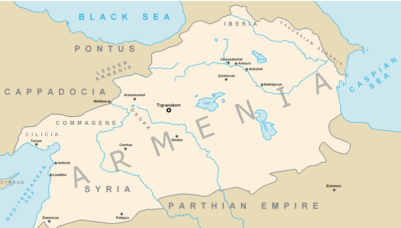
ARMENIAN EMPIRE MAP BC 95 66
ARMENIA SATELLITE MAP
ARMENIA CITIES MAP
ARMENIA MAP
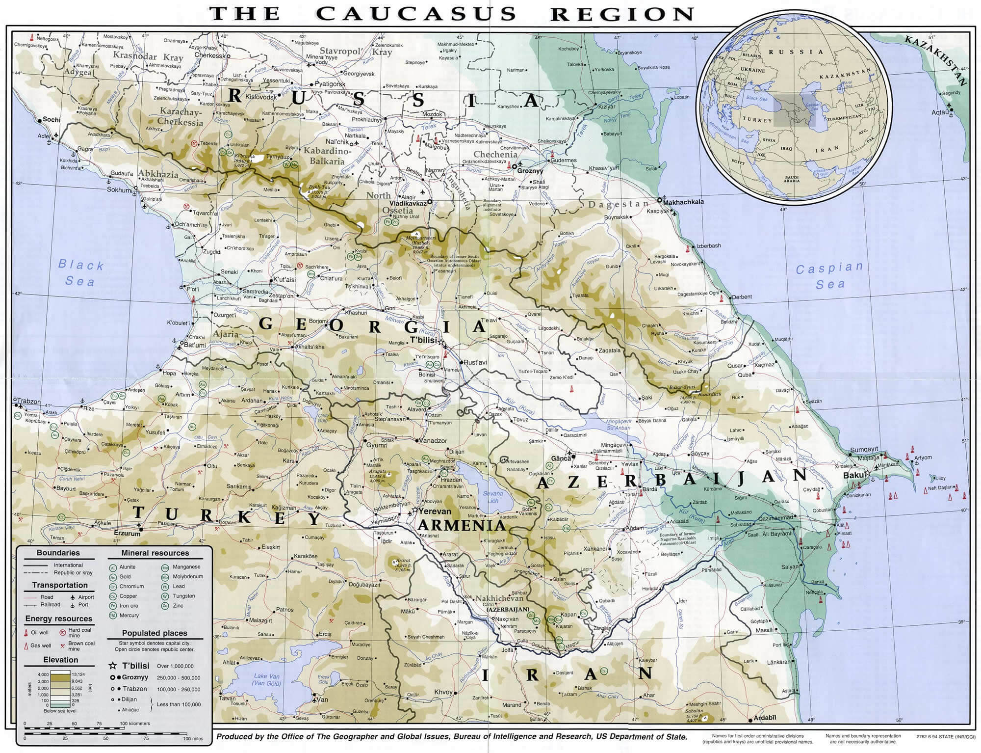
ARMENIA MAP CAUCASUS REGION
ARMENIA MAP KARABAGH
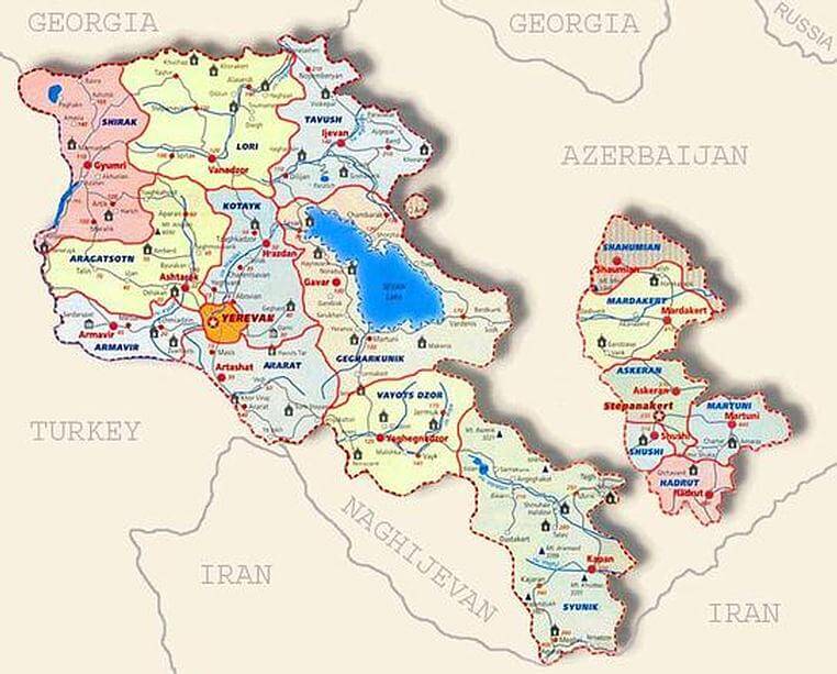
ARMENIA MAP REGIONS
ARMENIA PHYSICAL MAP
CITIES MAP OF ARMENIA
MAP OF ARMENIA
MAPA DA ARMENIA
POLITICAL MAP OF ARMENIA
ARMENIA EARTH MAP
Addresse: Hakarinne 2 Espoo, Uusimaa - Finland 02210
Web: istanbul-city-guide.com
Email: [email protected]
Web: istanbul-city-guide.com
Email: [email protected]
Copyright istanbul-city-guide.com - 2004 - 2026. All rights reserved. Privacy Policy | Disclaimer