Belgium Map and Belgium Satellite Images
Explore map of Belgium, Belgium map, cities map of Belgium, satellite images of Belgium, Belgium largest cities maps, political map of Belgium, driving directions, country atlas and traffic map.
Belgium Map FQA
How many cities are in Belgium ?
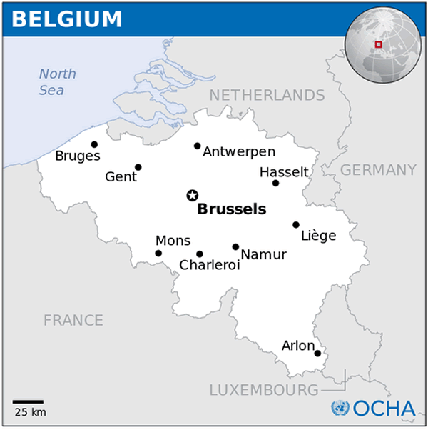
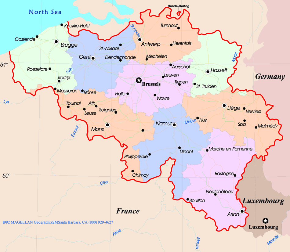
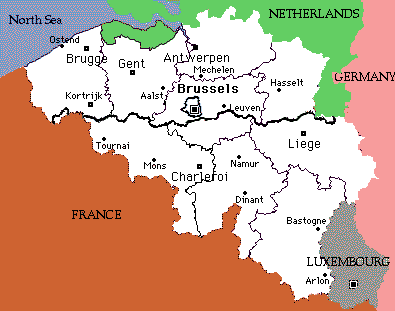
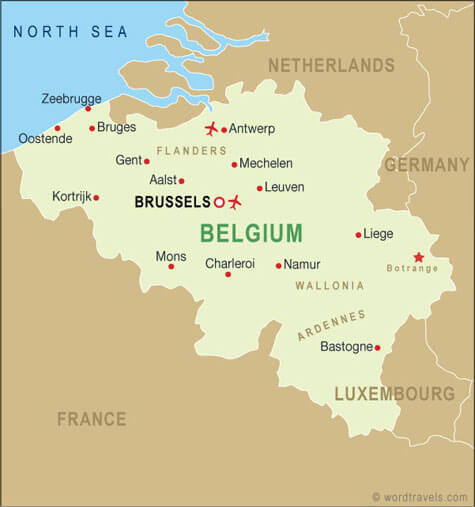
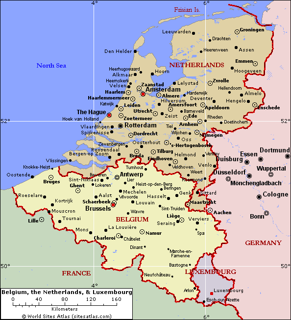
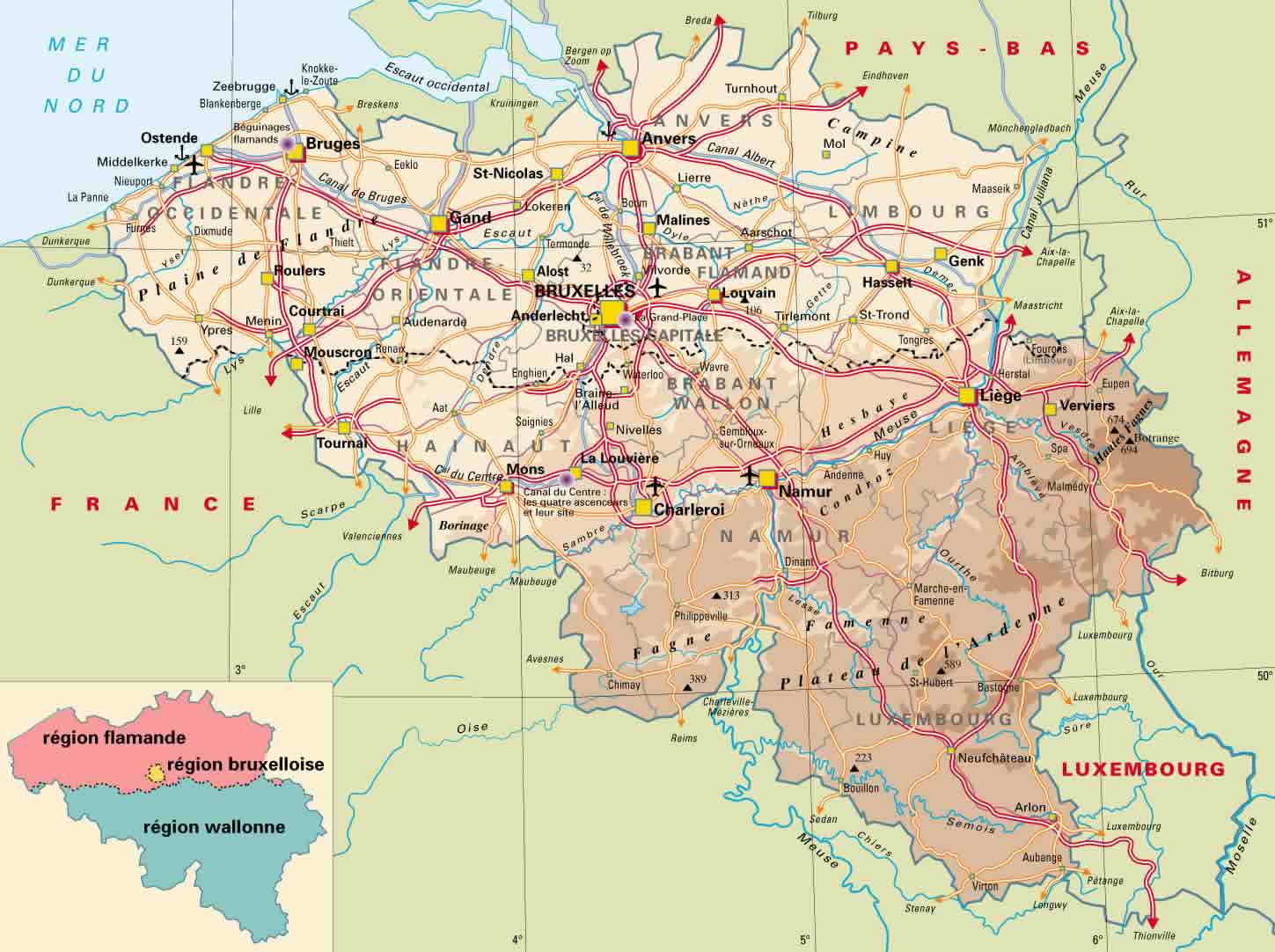
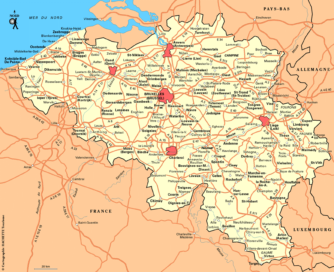
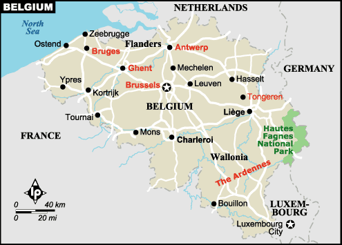
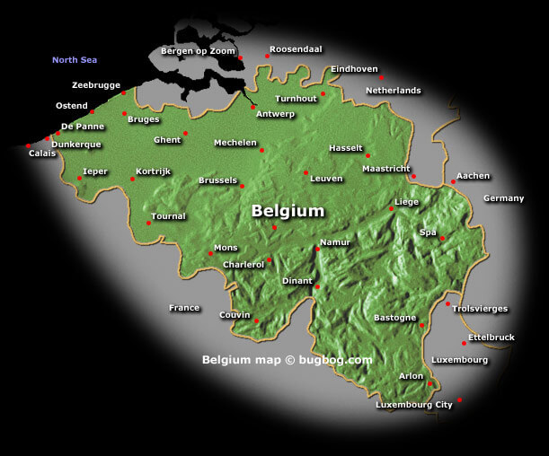
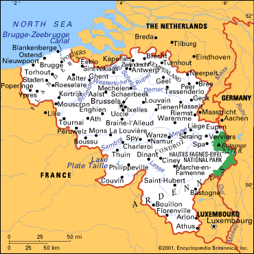
Belgium has over 100 cities. The 10 largest are: Brussels, Antwerp, Ghent, Charleroi, Liège, Bruges, Namur, Leuven, Mons, and Aalst.What are the major geographical features of Belgium ?
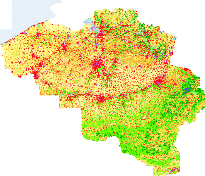
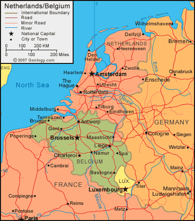
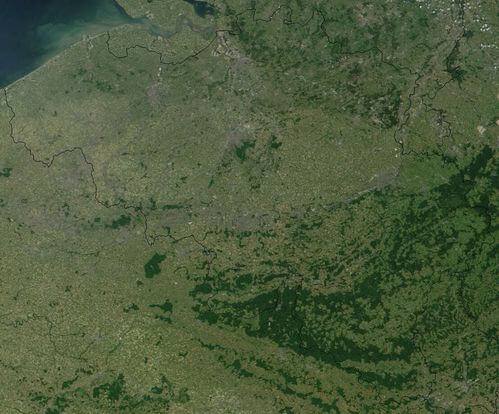
Belgium has diverse geography, with coastal plains in the northwest, rolling hills and fertile valleys in the central region, and the Ardennes forested highlands in the southeast. The Meuse and Scheldt are the major rivers.WHERE IS BELGIUM IN THE WORLD
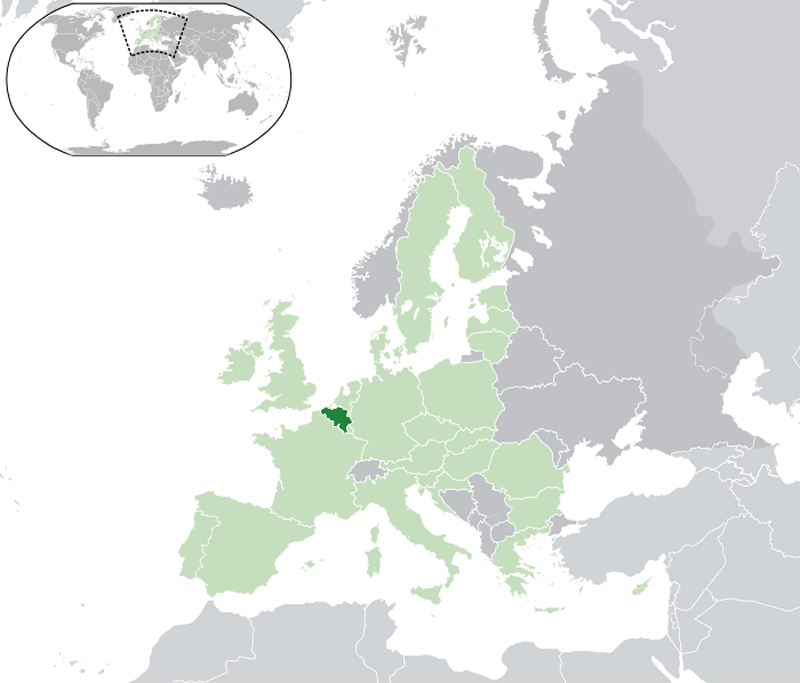
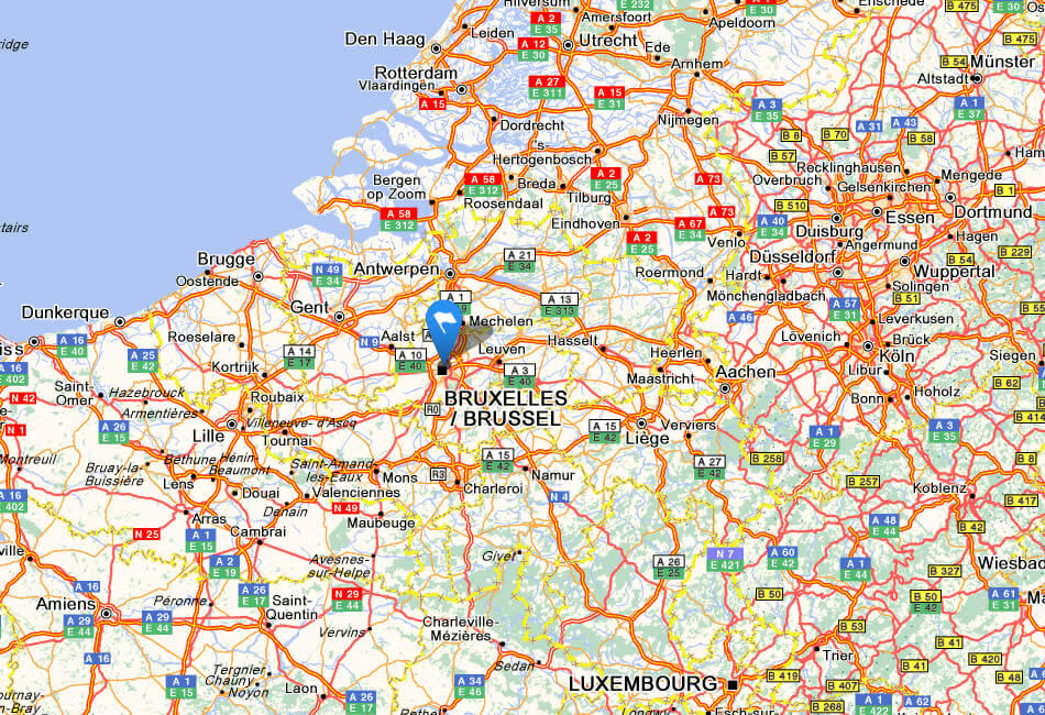
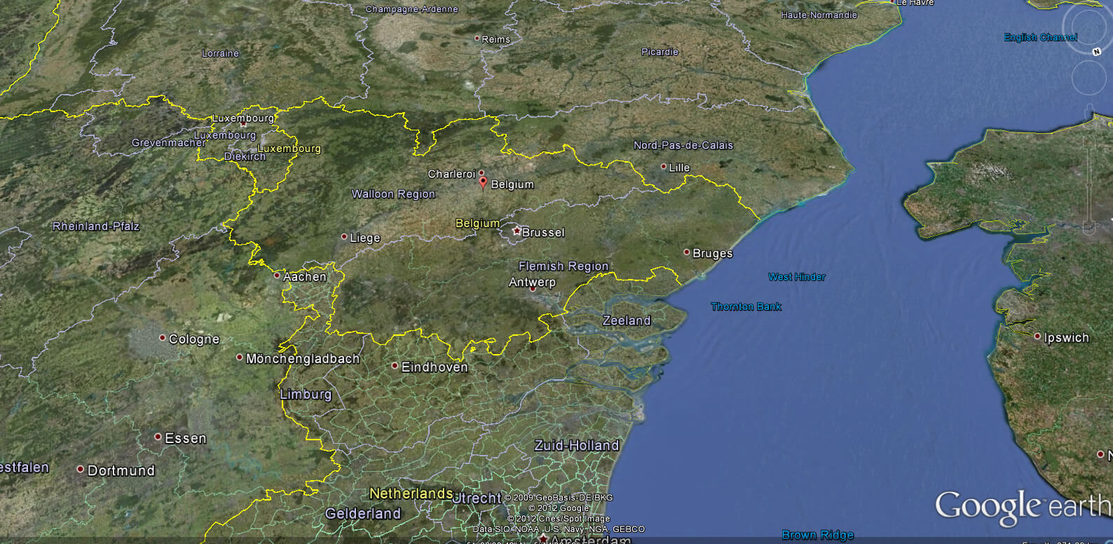
BELGIUM LOCATION MAP
WHERE IS BELGIUM IN THE WORLD
Can I download a high-resolution map of Belgium ?
Yes. Download high-resolution political and physical maps of Belgium for personal or educational use. Redistribution is subject to the terms of our license.
- Capital : Brussels
- Population : 11,041,266
- GDP : $513.396 billion (21st)
- Per Capita : $46,878 (16th)
- Calling Code : +32
- Jobless Rate : 7.40%
- Time Zone : +1
For more about Belgium >>
A Collection of Belgium Maps and Belgium Satellite Images
MAP OF BELGIUM
BELGIUM LOCATION MAP
WHERE IS BELGIUM IN THE WORLD
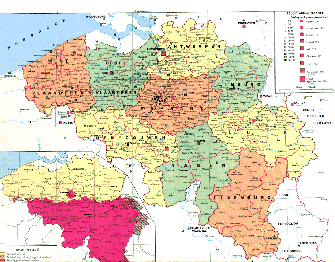
BELGIQUE POPULATION MAP
BELGIUM COUNTRY MAP
BELGIUM MAP
BELGIUM MAP
BELGIUM ECONOMY MAP
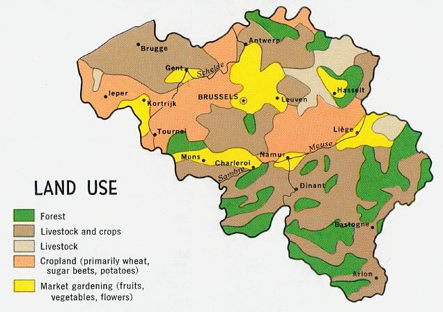
BELGIUM LAND MAP
BELGIUM MAP
BELGIUM MAP
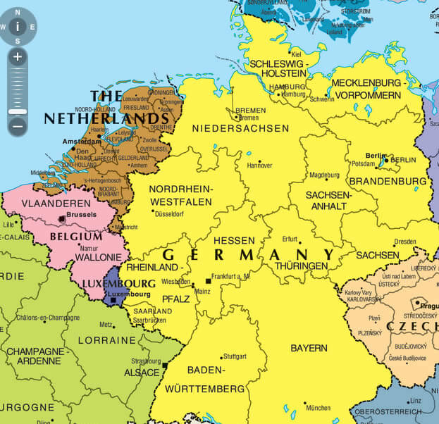
BELGIUM MAP GERMANY
BELGIUM MAP LUXEMBOURG
BELGIUM MAP NETHERLANDS LUXEMBURG
BELGIUM PHYSICAL MAP
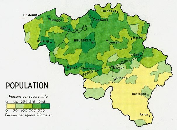
BELGIUM POPULATION MAP
BELGIUM POPULATION MAP
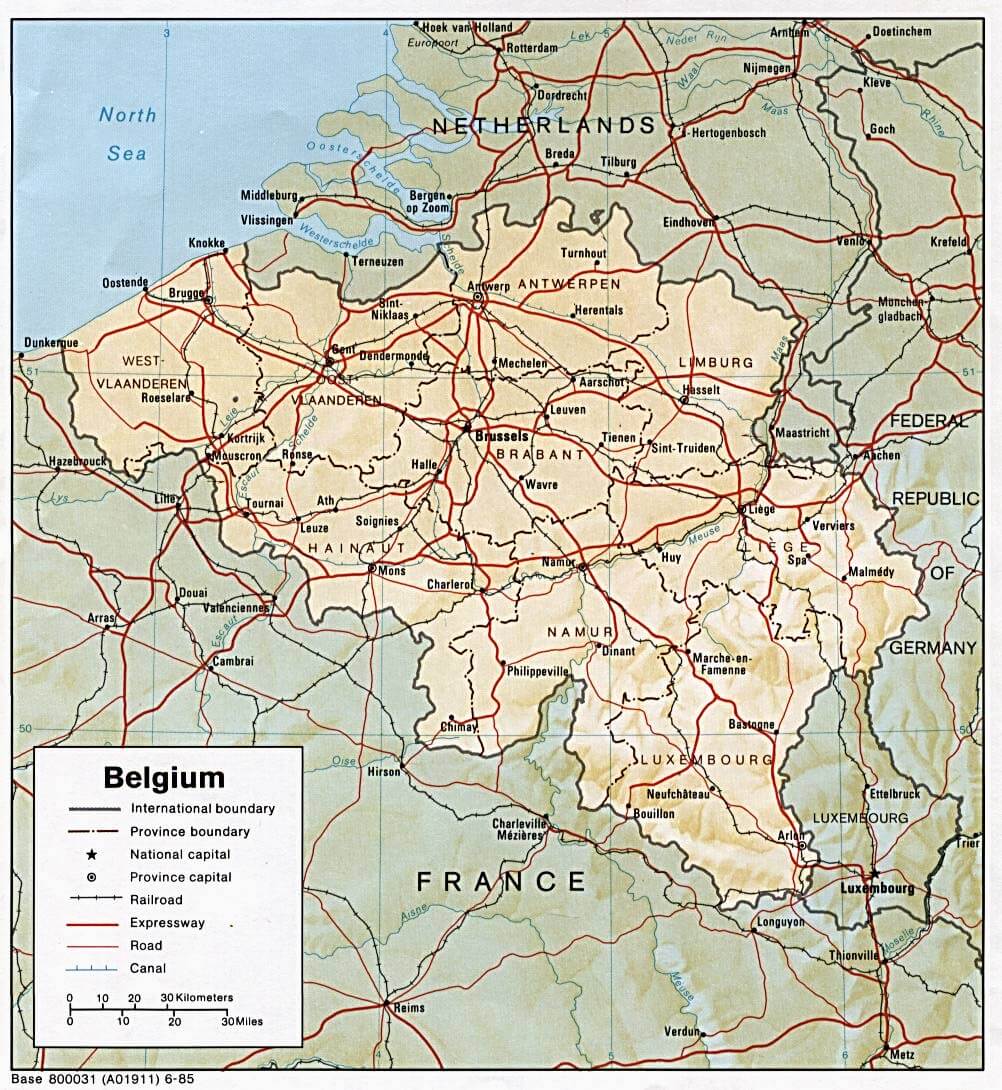
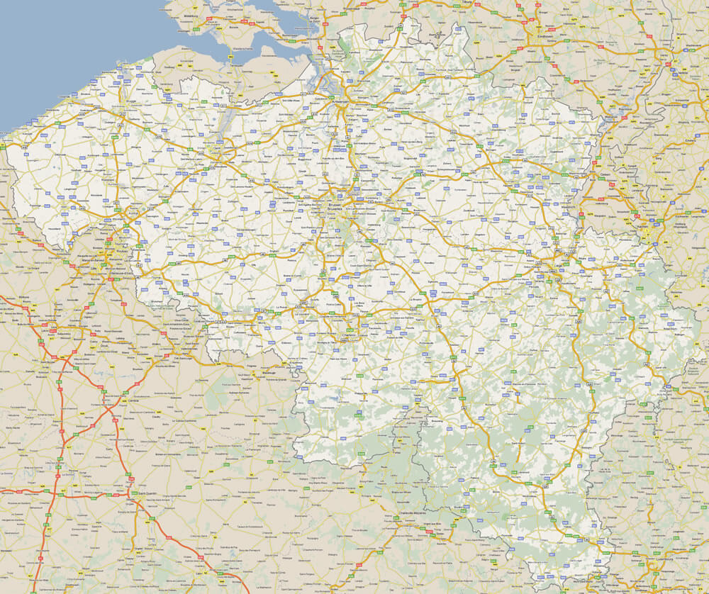
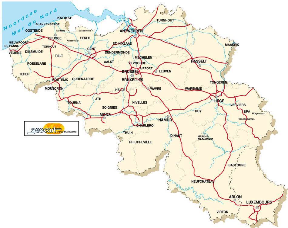
BELGIUM ROAD MAP
KINGDOM OF BELGIUM MAP
MAP BELGIUM
MAP OF BELGIUM
MAP OF BELGIUM
MAP OF BELGIUM
MAPS OF BELGIUM
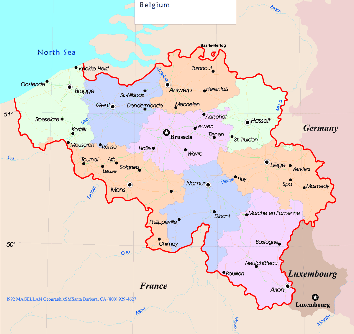
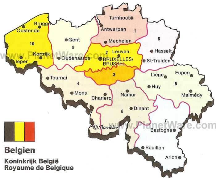
REGIONS MAP OF BELGIUM
SATELLITE IMAGE OF BELGIUM
BELGIUM EARTH MAP
Antwerp: Where Timeless Elegance Meets Modern Vibrancy
Please subscribe on "World Guide" channnel on Youtube at youtube.com/c/WorldGuide
Addresse: Hakarinne 2 Espoo, Uusimaa - Finland 02210
Web: istanbul-city-guide.com
Email: [email protected]
Web: istanbul-city-guide.com
Email: [email protected]
Copyright istanbul-city-guide.com - 2004 - 2026. All rights reserved. Privacy Policy | Disclaimer