Zambia Map and Zambia Satellite Images
Explore map of Zambia, Zambia map, cities map of Zambia, satellite images of Zambia, Zambia largest cities maps, political map of Zambia, driving directions, country atlas and traffic map.
Zambia Map FQA
How many cities are in Zambia ?
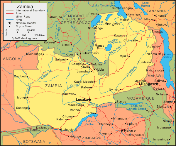
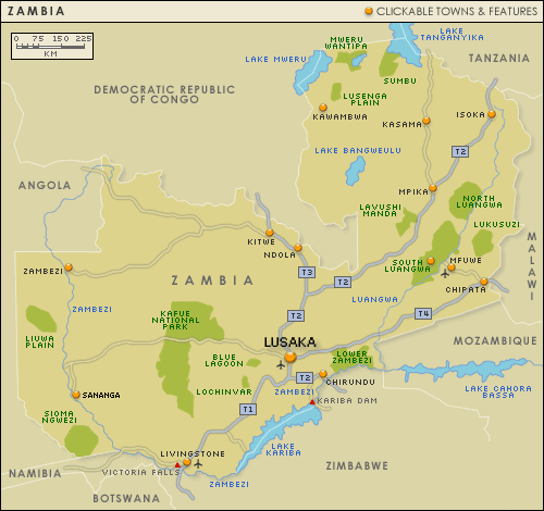
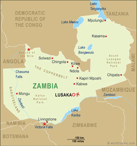
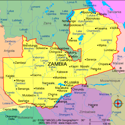
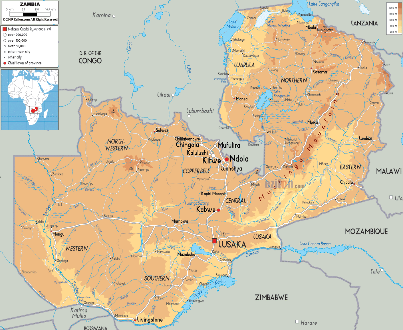
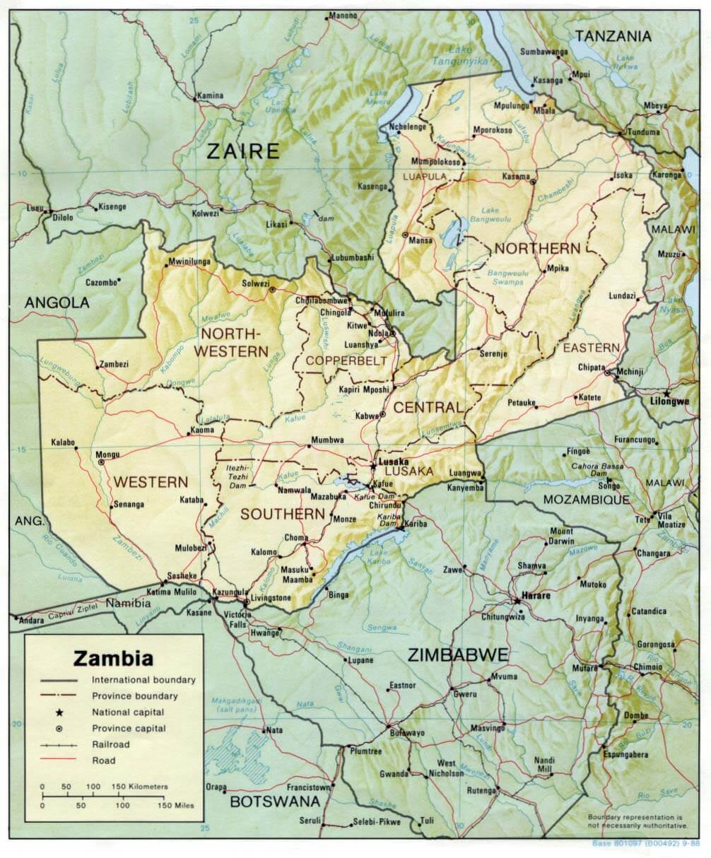
Zambia has more than 10 major cities. The largest by population are: Lusaka; Kitwe; Ndola; Kabwe; Chingola; Mufulira; Livingstone; Luanshya; Kasama; Chipata.What are the major geographical features of Zambia ?
Zambia in southern Africa is a landlocked country characterized by high plateaus, hills, and river valleys. It is home to the Zambezi River and Victoria Falls, as well as extensive savannas.WHERE IS ZAMBIA IN THE WORLD
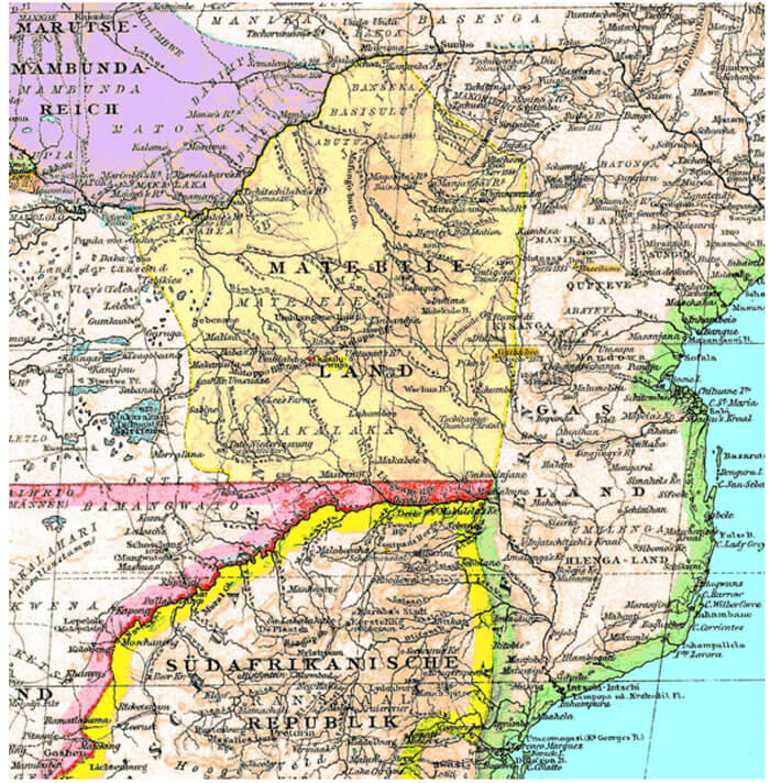
ZAMBIA MATABELELAND 19TH CENTURY MAP
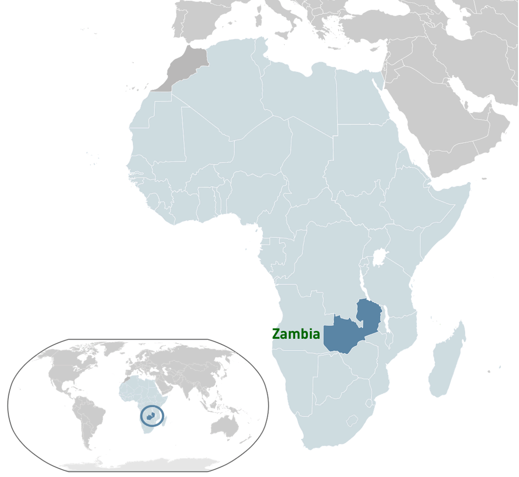
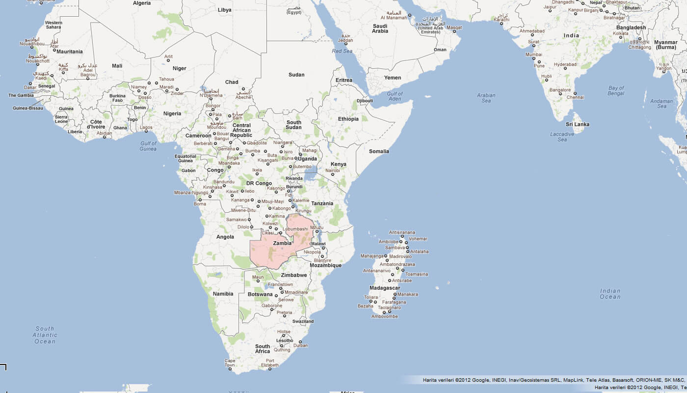
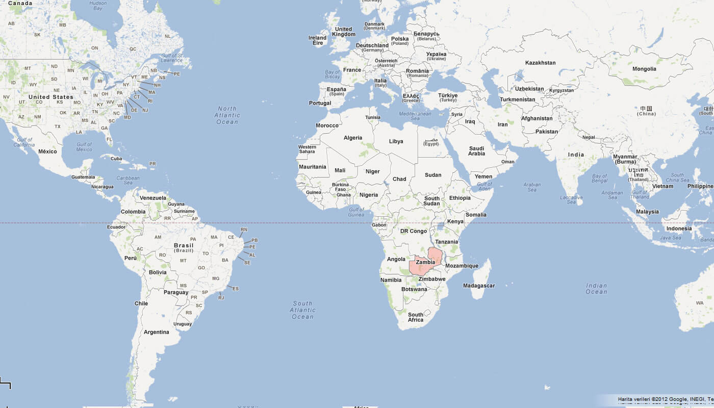
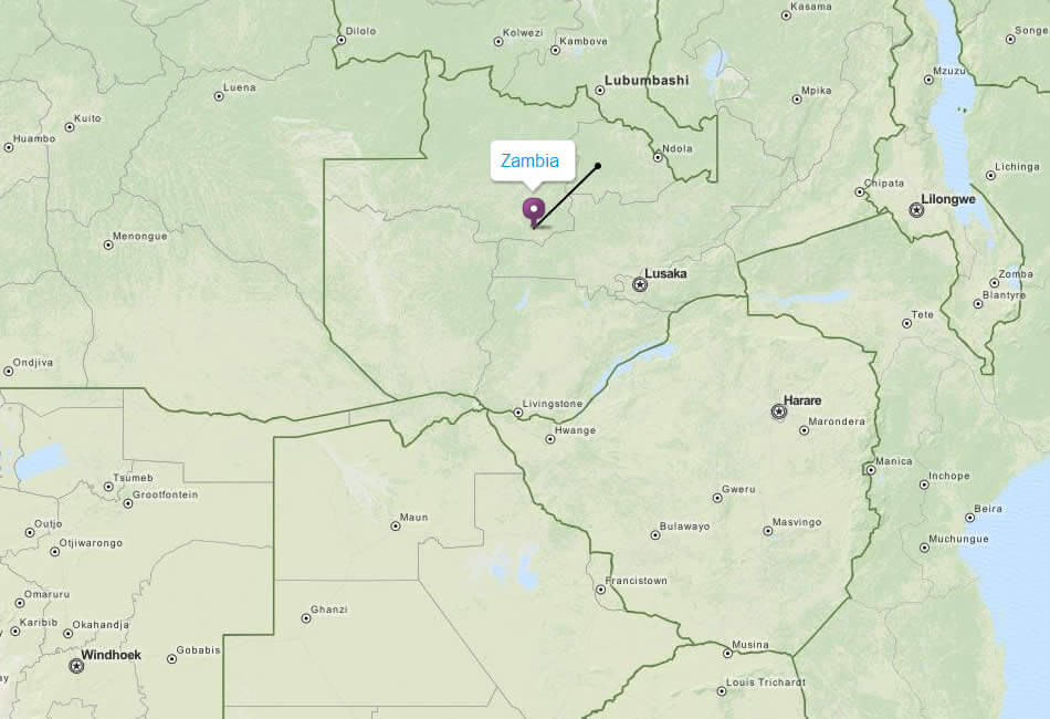
WHERE IS ZAMBIA IN THE WORLD
Can I download a high-resolution map of Zambia ?
Yes. Download high-resolution political and physical maps of Zambia for personal or educational use. Redistribution is subject to the terms of our license.
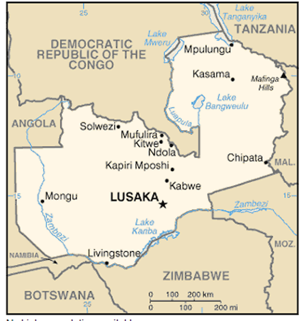
- Capital : Lusaka
- Population : 14,309,466
- GDP : $19.206 billion
- Per Capita : $1,413
- Calling Code : +260
- Jobless Rate : 15.00%
- Time Zone : +2
For more about Zambia >>
A Collection of Zambia Maps and Zambia Satellite Images
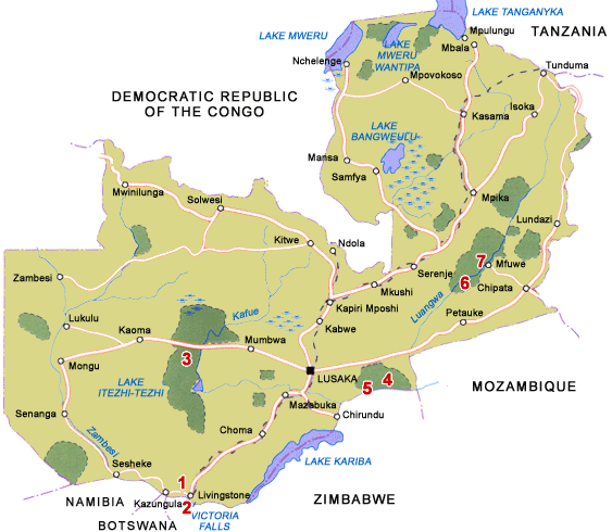
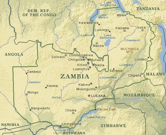
MAP OF ZAMBIA
ZAMBIA MATABELELAND 19TH CENTURY MAP
WHERE IS ZAMBIA IN THE WORLD
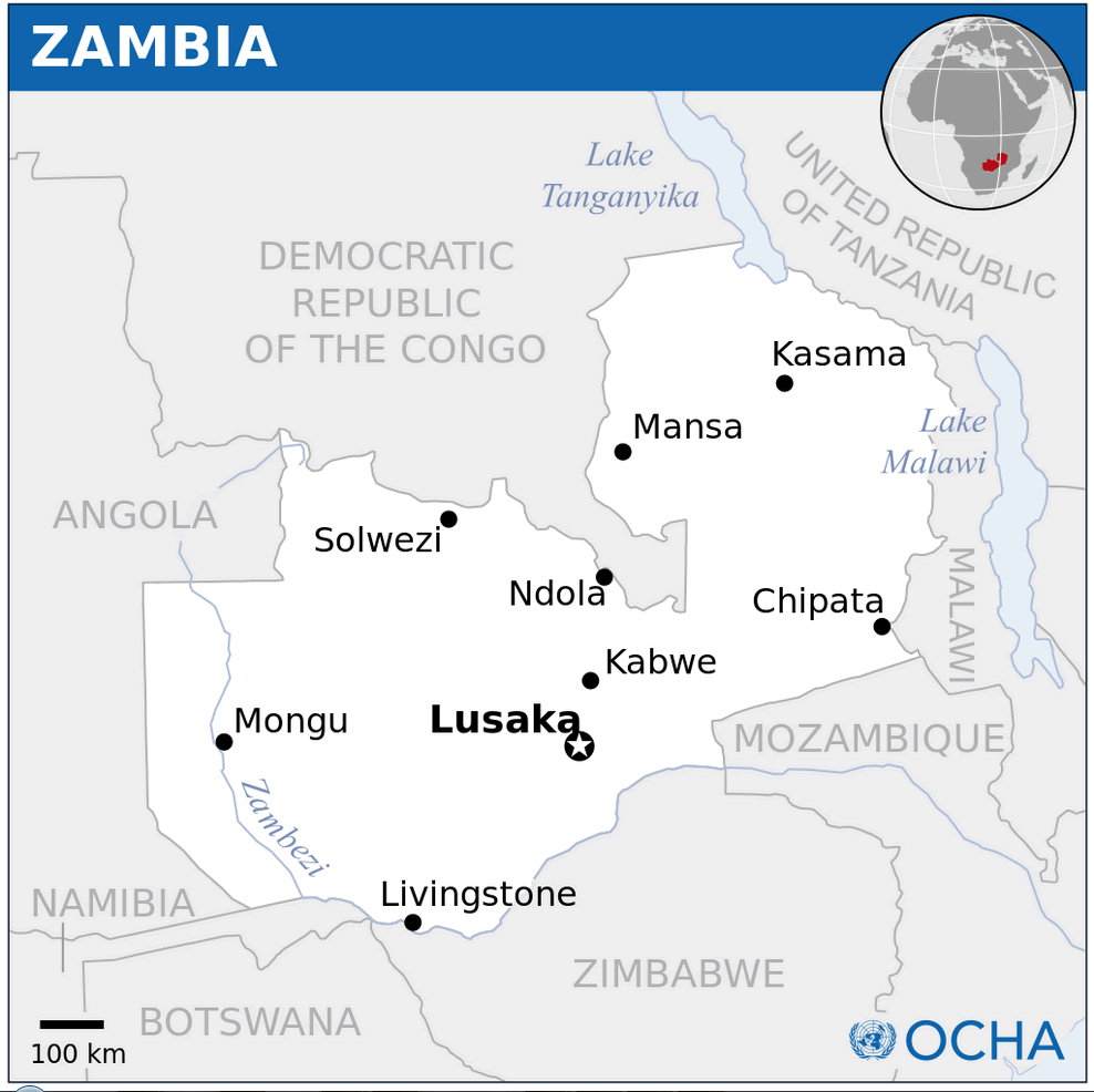
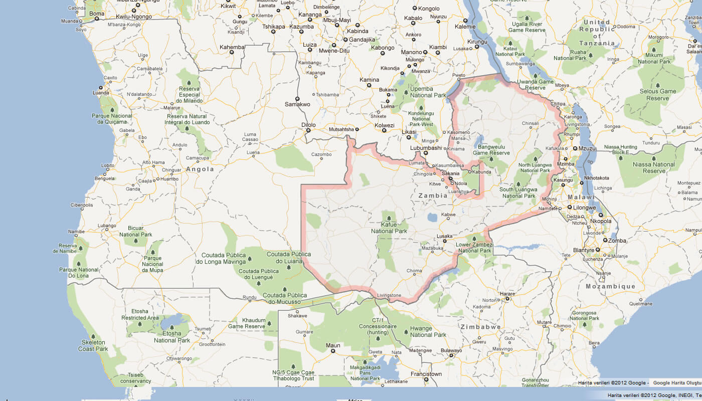
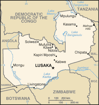
ZAMBIA LOCATION MAP
ZAMBIA ZA MAP
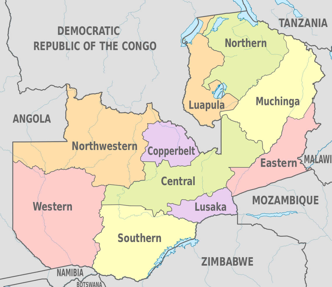
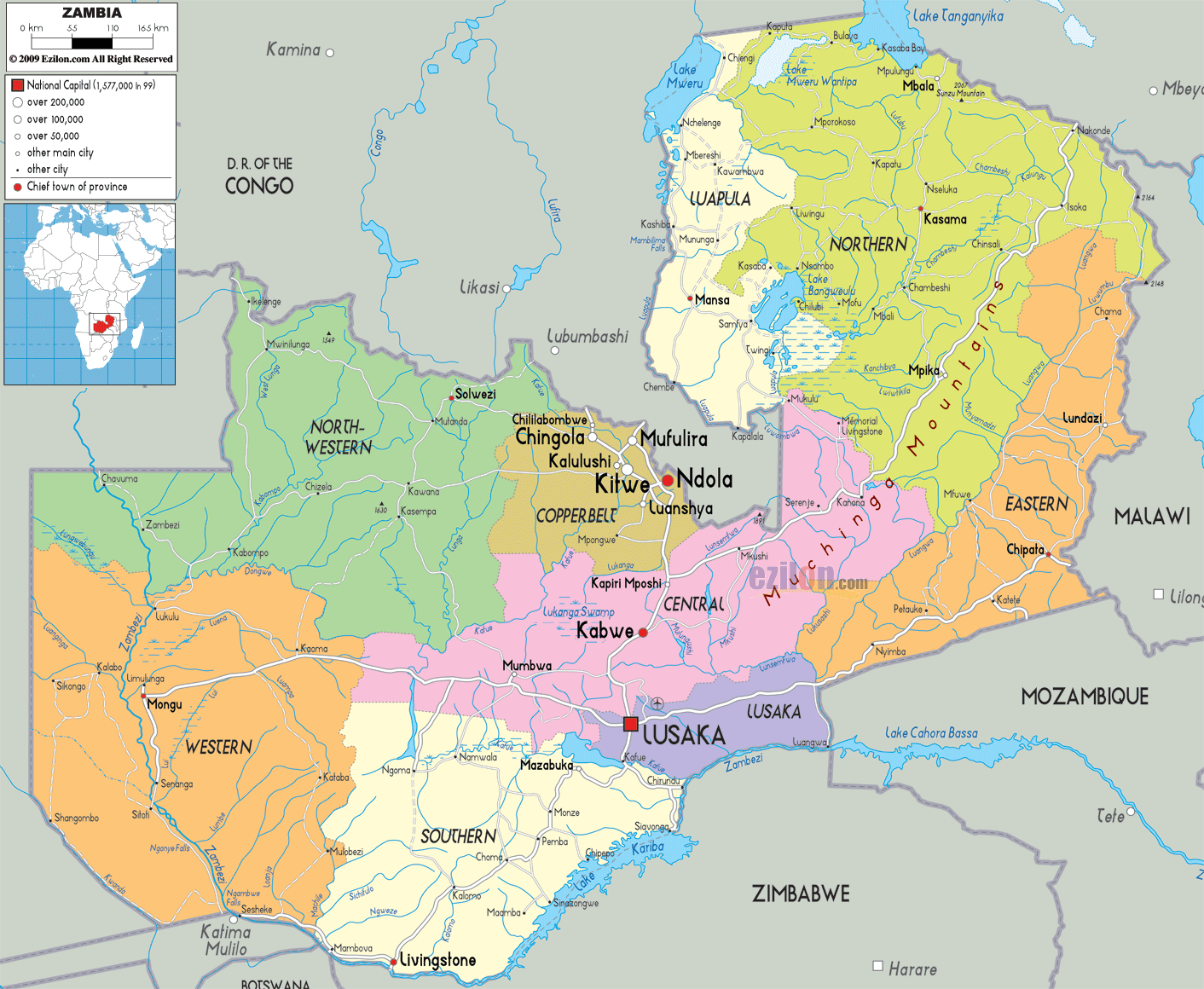
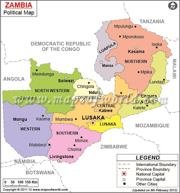
ZAMBIA ADMINISTRATIVE DIVISIONS MAP
ZAMBIA GOOGLE MAP
ZAMBIA VICTORIA FALL

ZAMBIA TOPOGRAPHY MAP
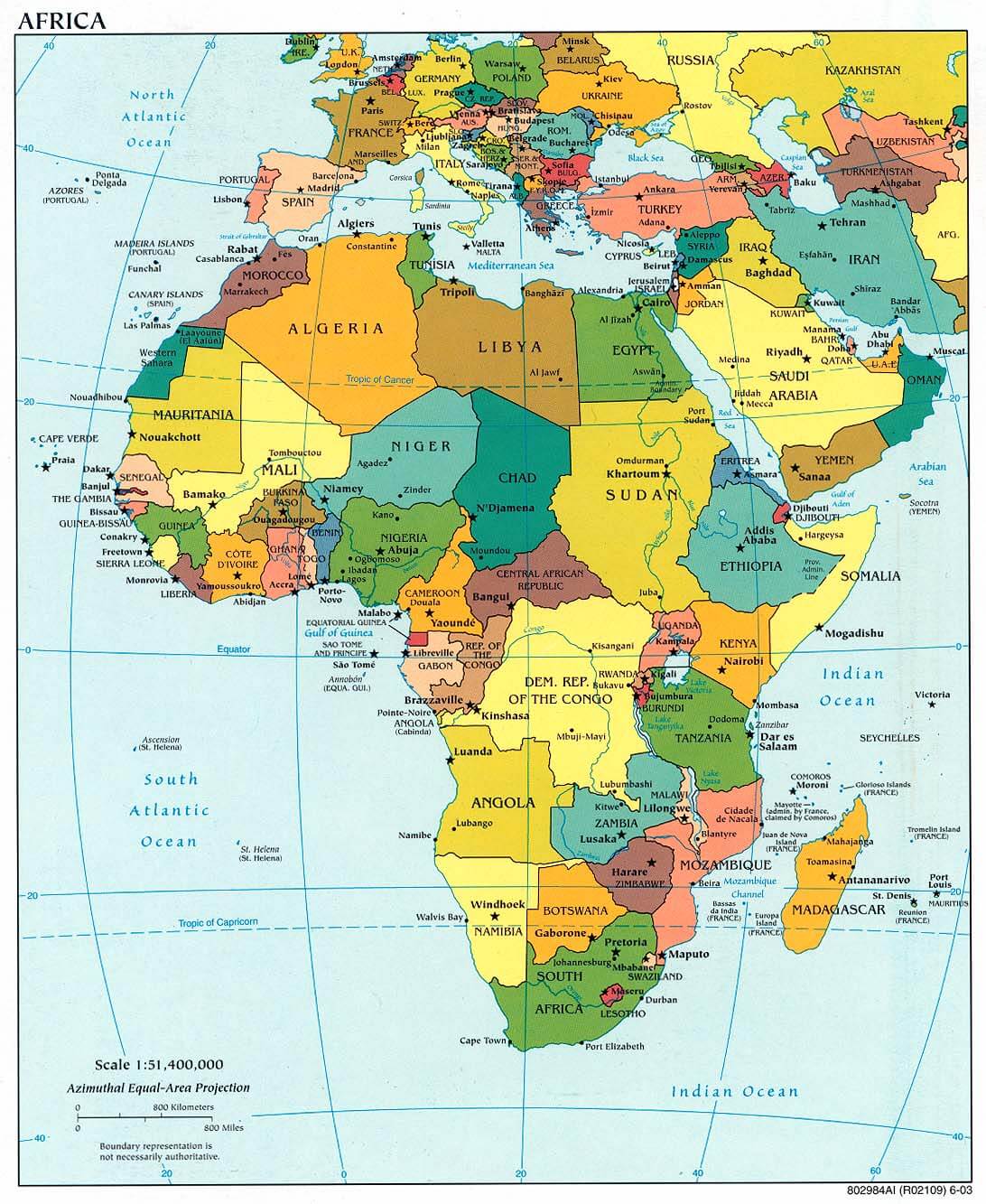
AFRICA POLITICAL MAP
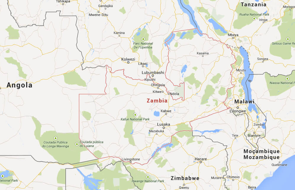
MAP OF ZAMBIA AFRICA
MAP OF ZAMBIA WORLD
MAP OF ZAMBIA
MAP ZAMBIA
MAP ZAMBIA
POLITICAL MAP OF ZAMBIA
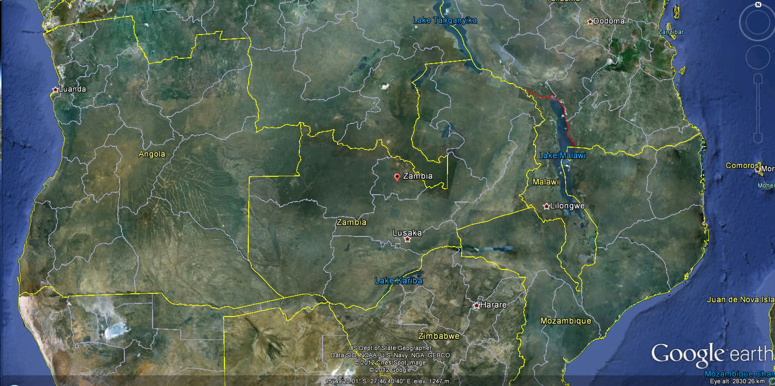
ZAMBIA EARTH MAP
ZAMBIA MAP

ZAMBIA MAP LUSAKA
ZAMBIA MAP

ZAMBIA POLITICAL MAP
ZAMBIA RELIEF MAP
ZAMBIA MAP
ZAMBIA MAP
ZAMBIA MAPS
ZAMBIA PHYSICAL MAP
ZAMBIA RELIEF MAP
Largest Cities' Map of Zambia
Chingola Map Kabwe Map Kitwe Map Luanshya Map Lusaka Map Mufulira Map Ndola Map
Addresse: Hakarinne 2 Espoo, Uusimaa - Finland 02210
Web: istanbul-city-guide.com
Email: [email protected]
Web: istanbul-city-guide.com
Email: [email protected]
Copyright istanbul-city-guide.com - 2004 - 2026. All rights reserved. Privacy Policy | Disclaimer