Uganda Map and Uganda Satellite Images
Explore map of Uganda, Uganda map, cities map of Uganda, satellite images of Uganda, Uganda largest cities maps, political map of Uganda, driving directions, country atlas and traffic map.
Uganda Map FQA
How many cities are in Uganda ?
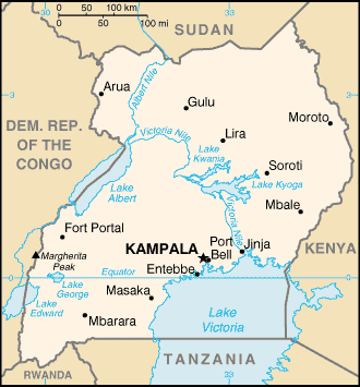
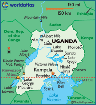
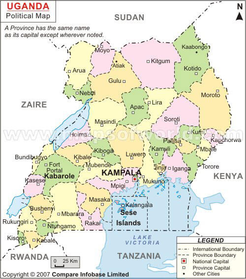
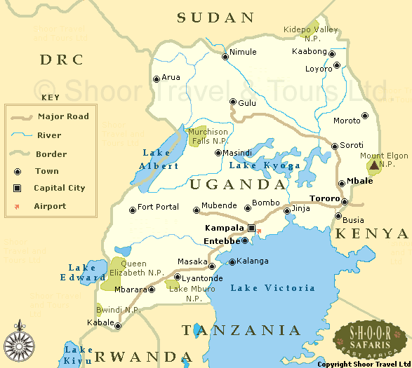
Uganda has more than 10 cities. The largest by population are: Kampala; Gulu; Lira; Mbarara; Jinja; Bwizibwera; Mbale; Mukono; Kasese; Masaka.What are the major geographical features of Uganda ?
Uganda in East Africa has diverse geography including Lake Victoria, the Nile River, the Rwenzori Mountains, and fertile plateaus. It features savannas, forests, and wetlands.SPOKEN LANGUAGES IN UGANDA
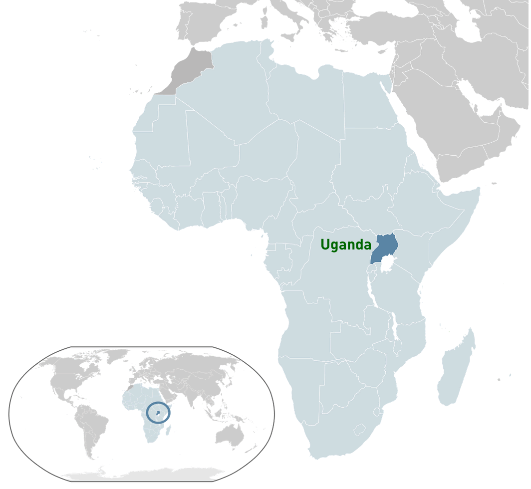
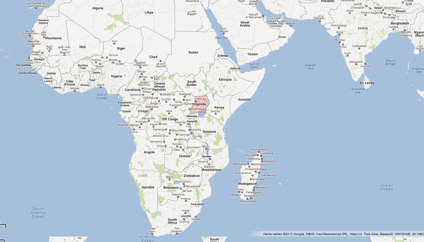
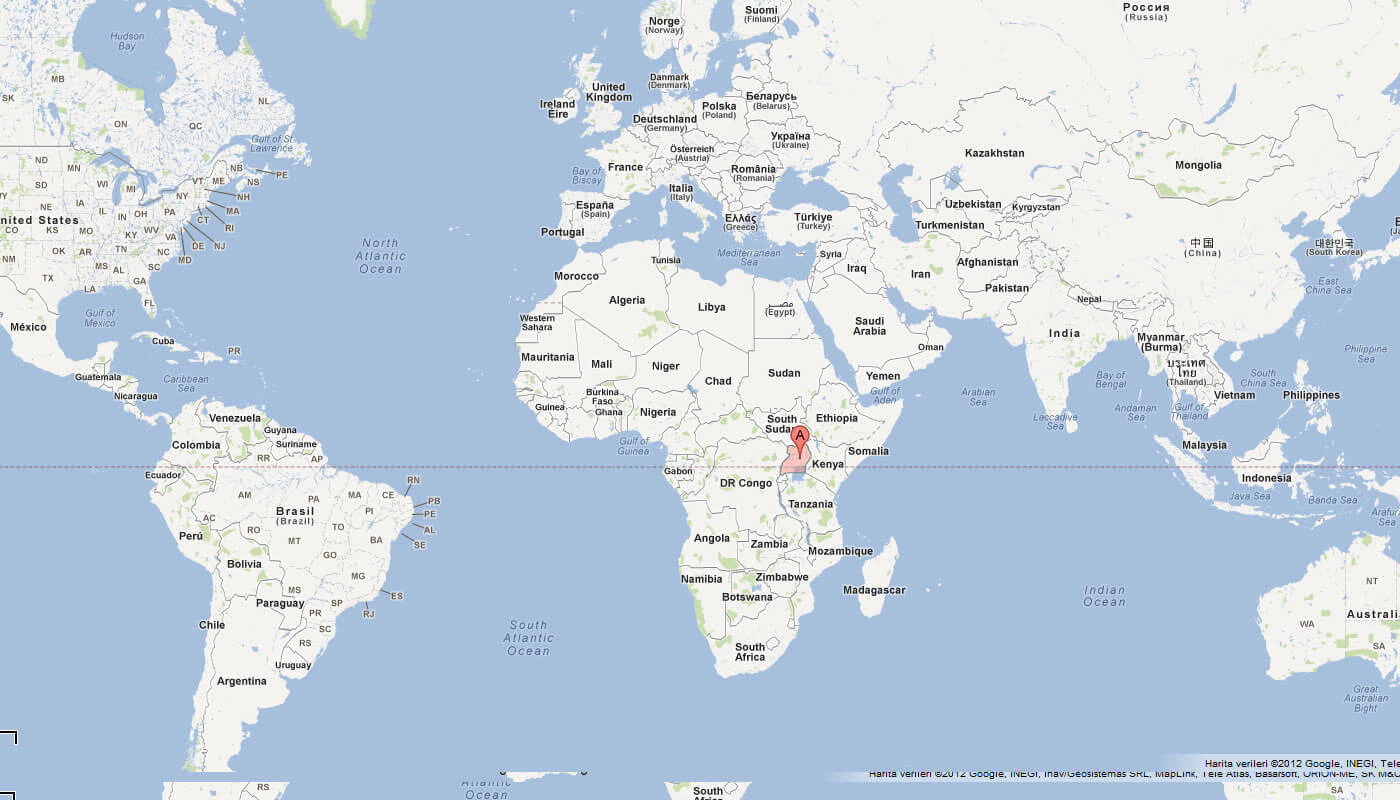
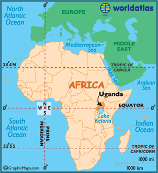
WHERE IS UGANDA IN THE WORLD
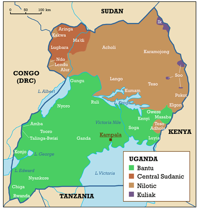
SPOKEN LANGUAGES IN UGANDA
Can I download a high-resolution map of Uganda ?
Yes. Download high-resolution political and physical maps of Uganda for personal or educational use. Redistribution is subject to the terms of our license.
- Capital : Kampala
- Population : 35,873,253
- GDP : $16.810 billion
- Per Capita : $477
- Calling Code : +256
- Jobless Rate : 4.20%
- Time Zone : +3
For more about Uganda >>
A Collection of Uganda Maps and Uganda Satellite Images
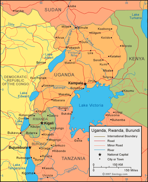
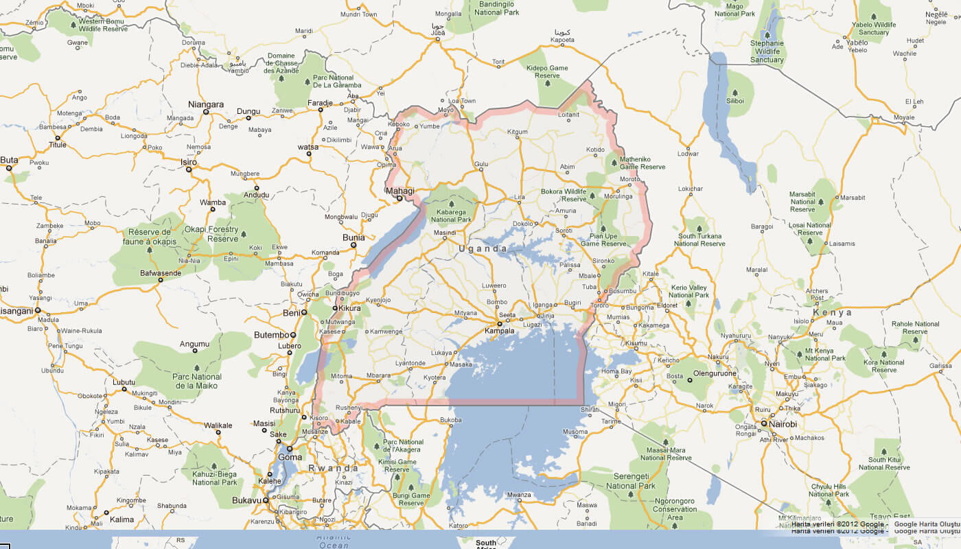
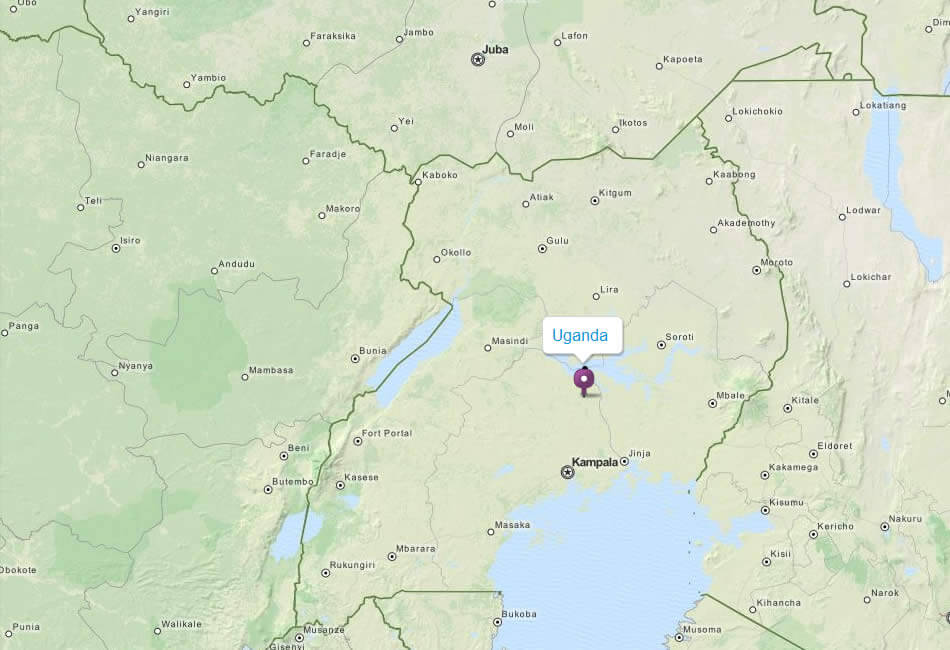
MAP OF UGANDA
WHERE IS UGANDA IN THE WORLD
SPOKEN LANGUAGES IN UGANDA
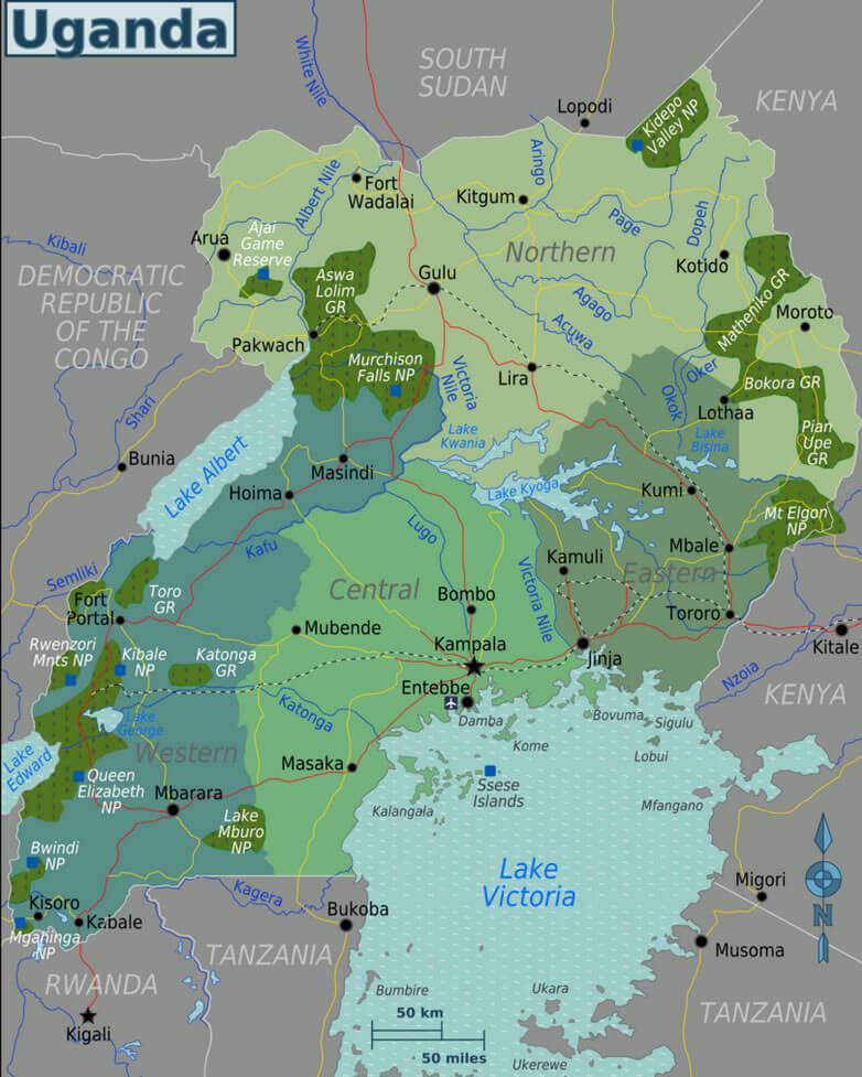
UGANDA REGIONS MAP
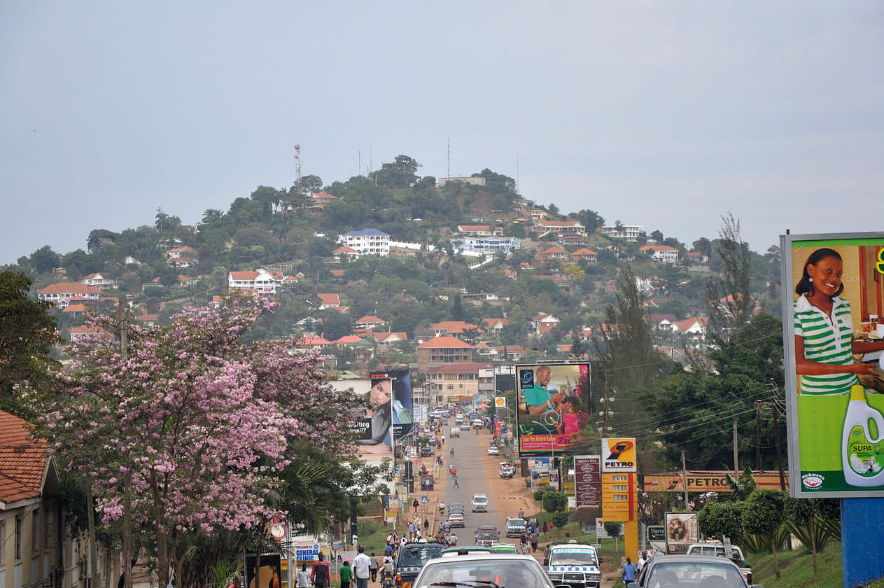
KAMPALA UGANDA
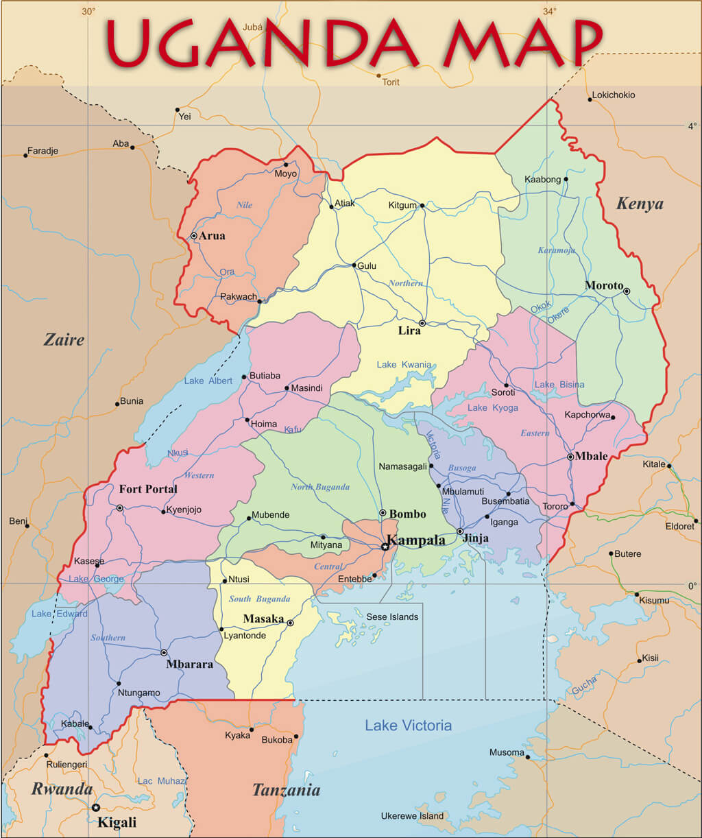
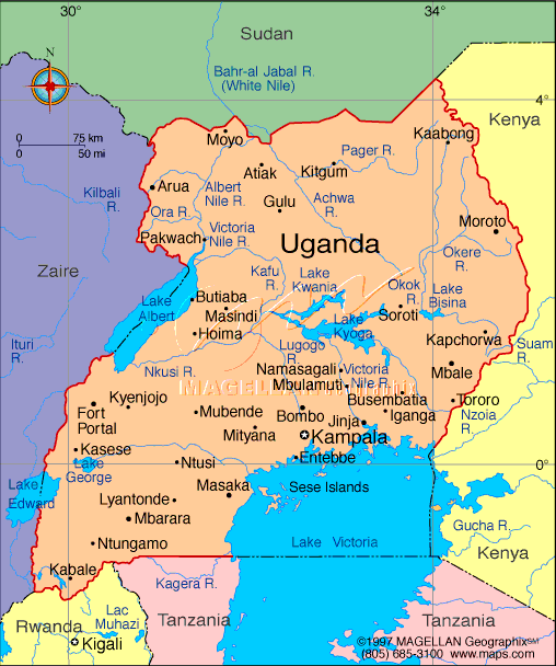
ADMINISTRATIVE MAP OF UGANDA
MAP OF UGANDA AFRICA
MAP OF UGANDA WORLD
MAP OF UGANDA
MAP UGANDA
UGANDA CITIES MAP
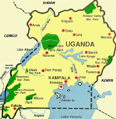
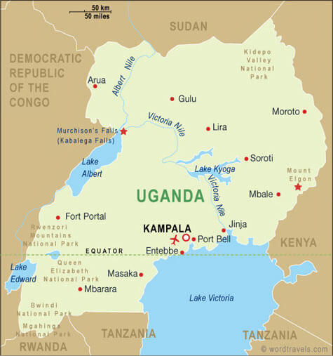
UGANDA MAP
UGANDA MAP

UGANDA POLITICAL MAP
UGANDA AFRICA MAP
UGANDA MAP
UGANDA MAP KAMPALA
UGANDA REGIONAL MAP
UGANDA REGIONS MAP
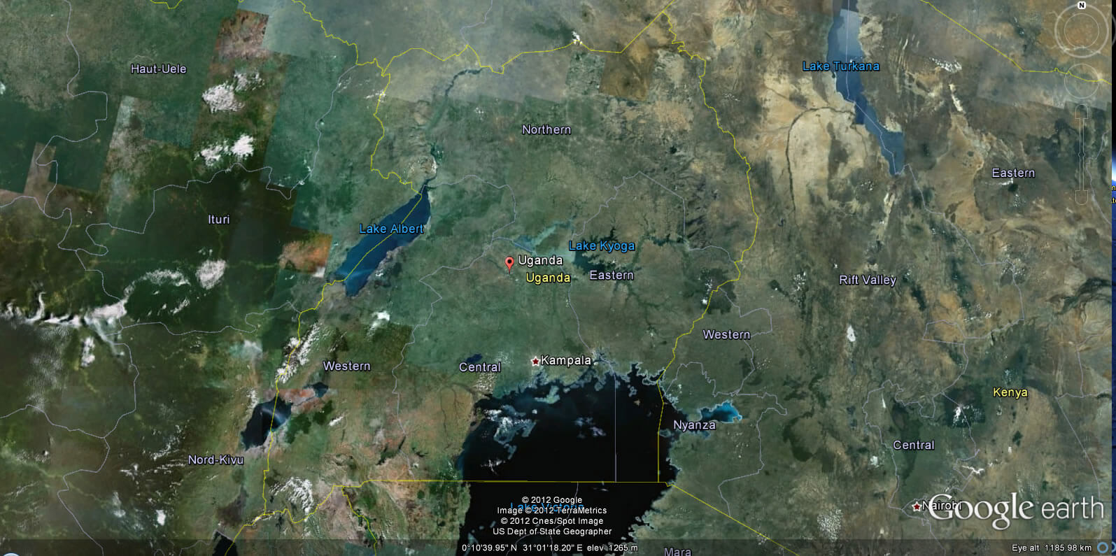
UGANDA EARTH MAP
Addresse: Hakarinne 2 Espoo, Uusimaa - Finland 02210
Web: istanbul-city-guide.com
Email: [email protected]
Web: istanbul-city-guide.com
Email: [email protected]
Copyright istanbul-city-guide.com - 2004 - 2026. All rights reserved. Privacy Policy | Disclaimer