Indonesia Map and Indonesia Satellite Images
Explore map of Indonesia, Indonesia map, cities map of Indonesia, satellite images of Indonesia, Indonesia largest cities maps, political map of Indonesia, driving directions, country atlas and traffic map.
Indonesia Map FQA
How many cities are in Indonesia ?
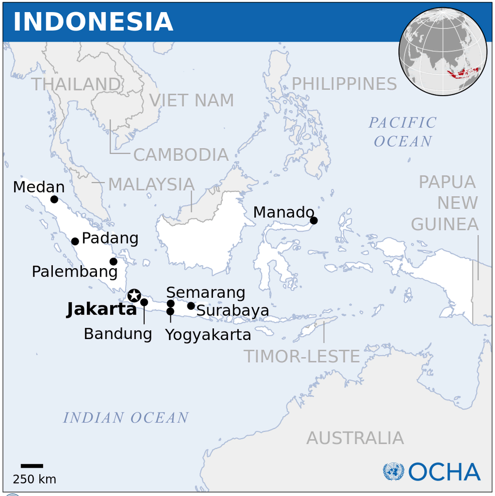
Indonesia has more than 90 cities. The 10 largest are: Jakarta, Surabaya, Bandung, Medan, Bekasi, Tangerang, Depok, Semarang, Palembang, and Makassar.What are the major geographical features of Indonesia ?
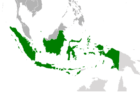
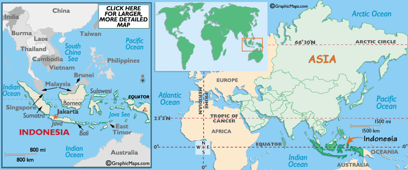
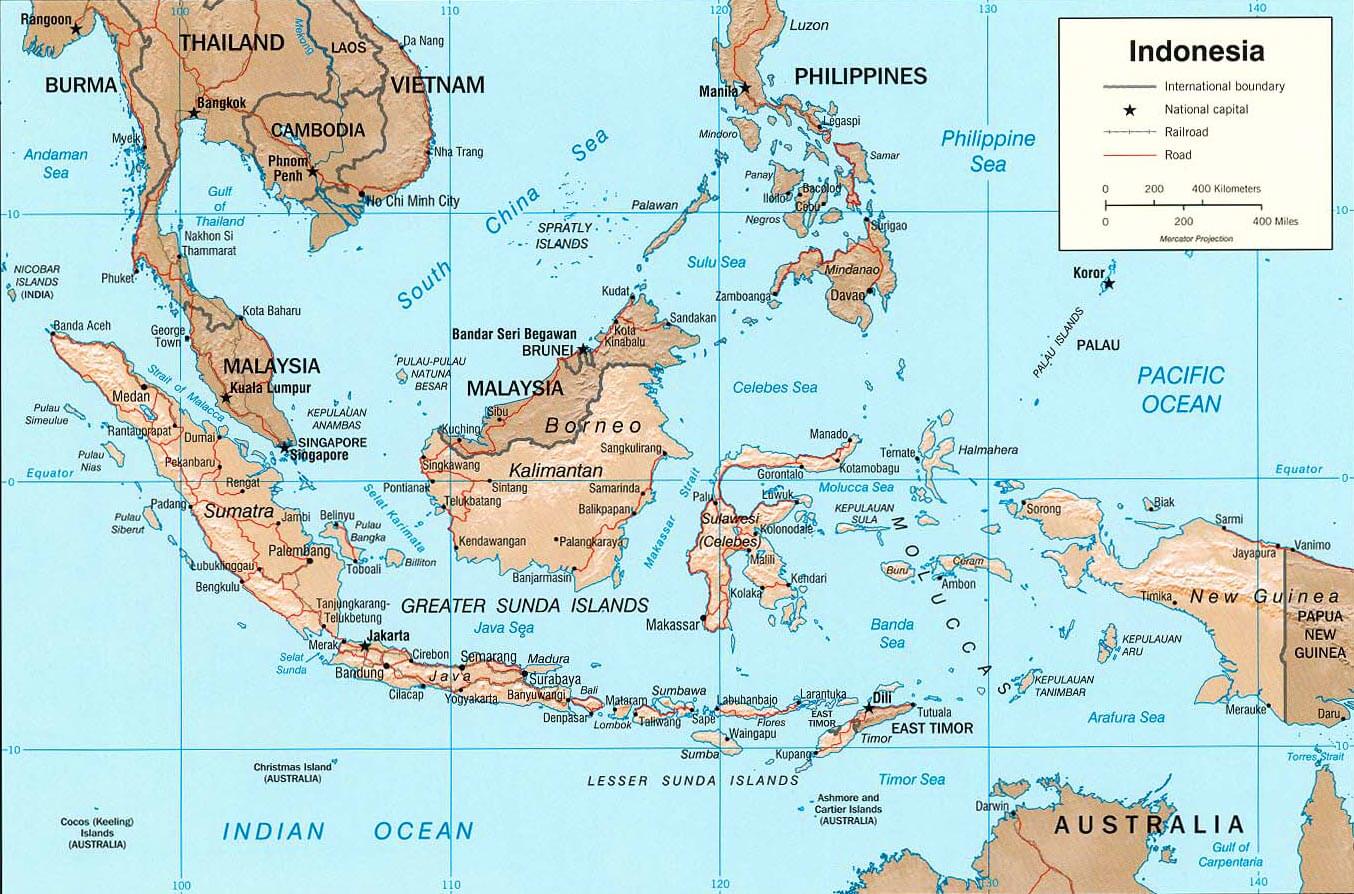
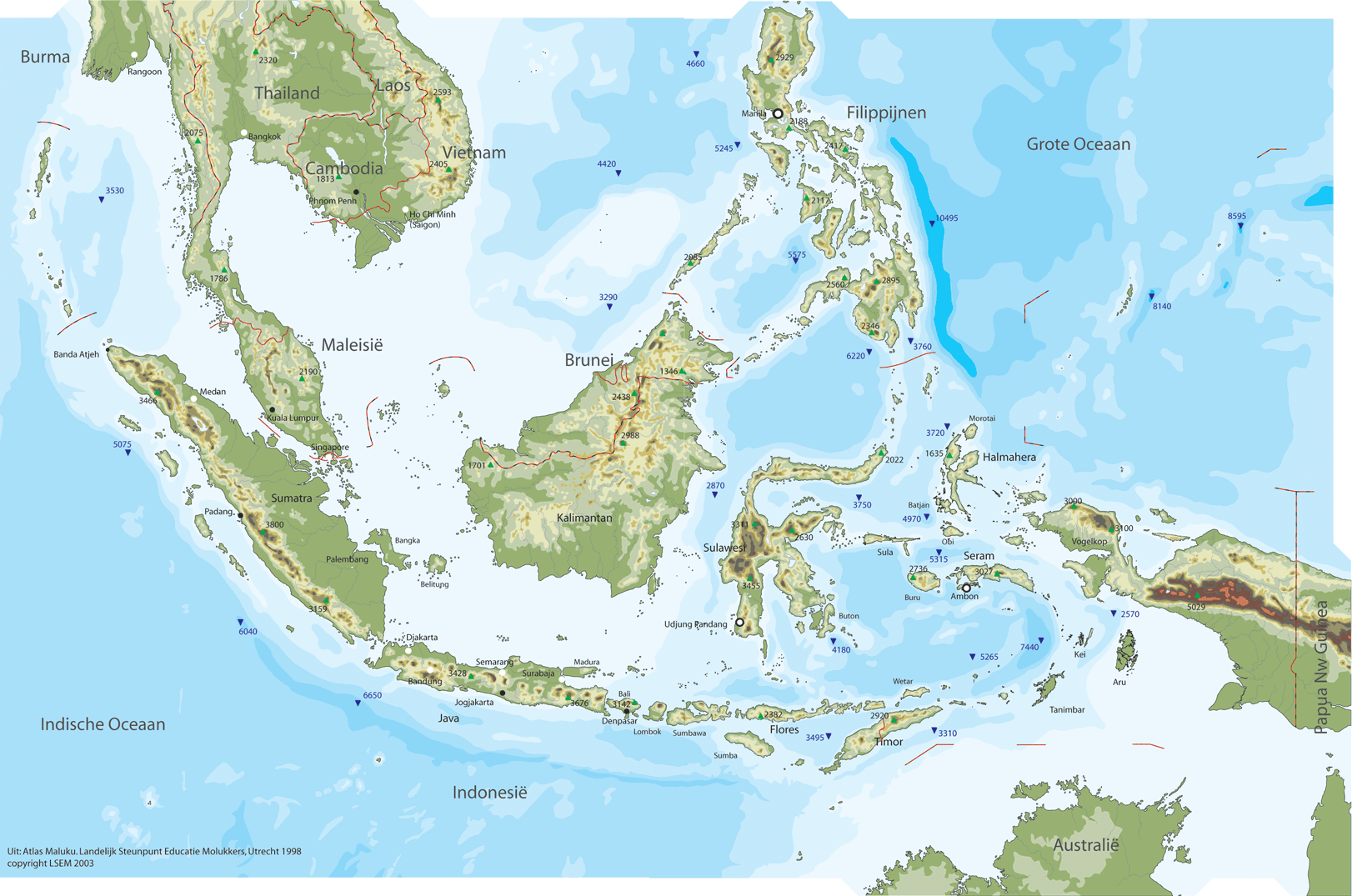
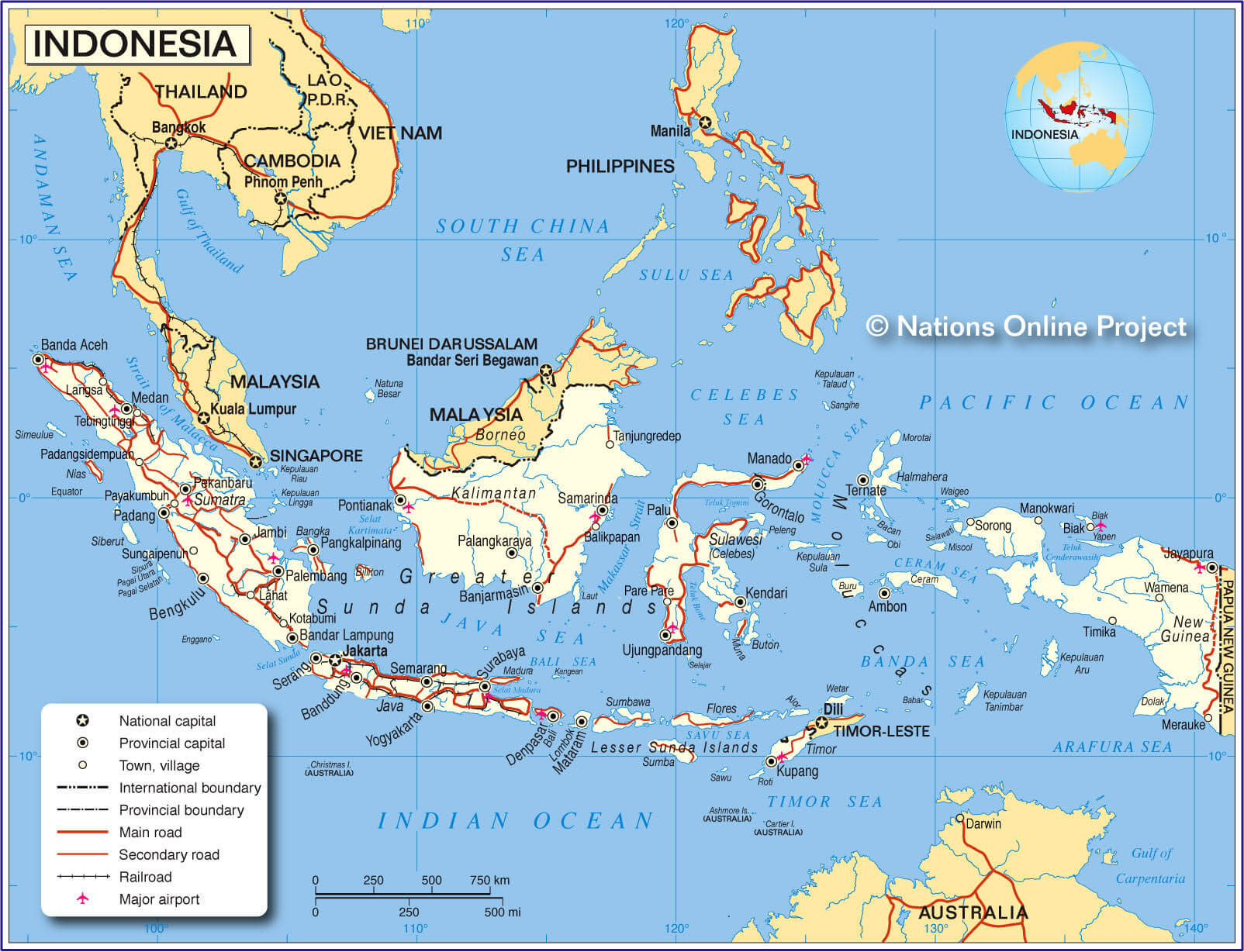
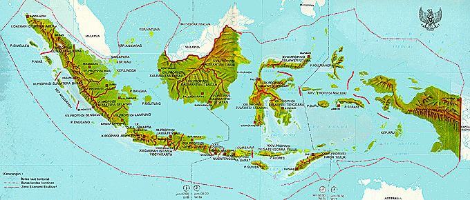
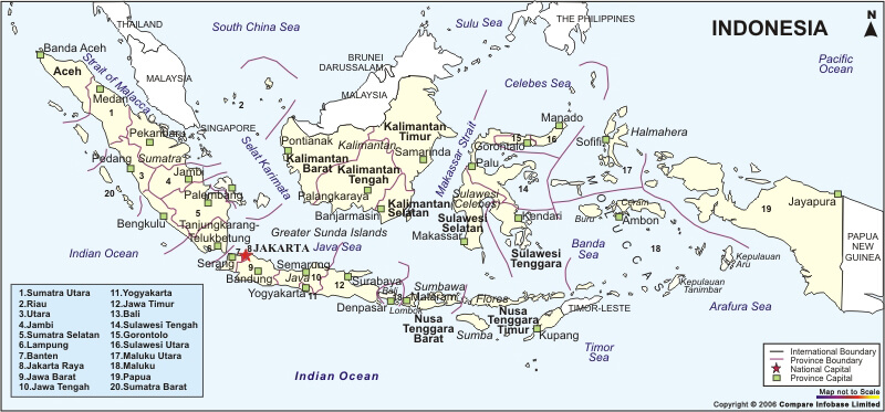
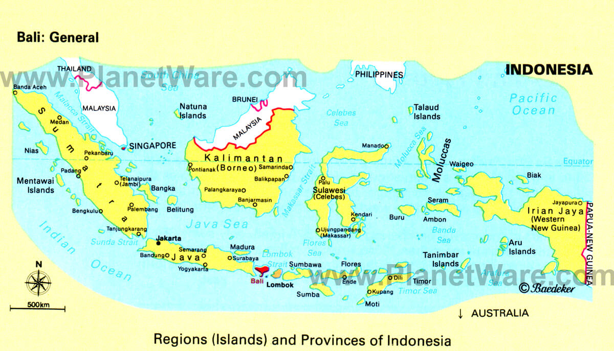
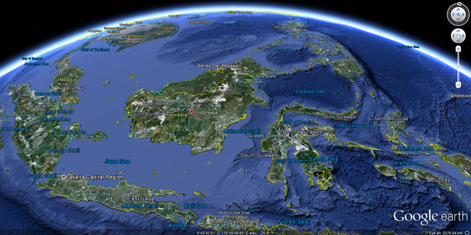
Indonesia is an archipelago of over 17,000 islands between the Indian and Pacific Oceans. It has mountains, rainforests, volcanoes, and coastal plains. Major islands include Java, Sumatra, Borneo, and Papua.INDONESIA LOCATION MAP
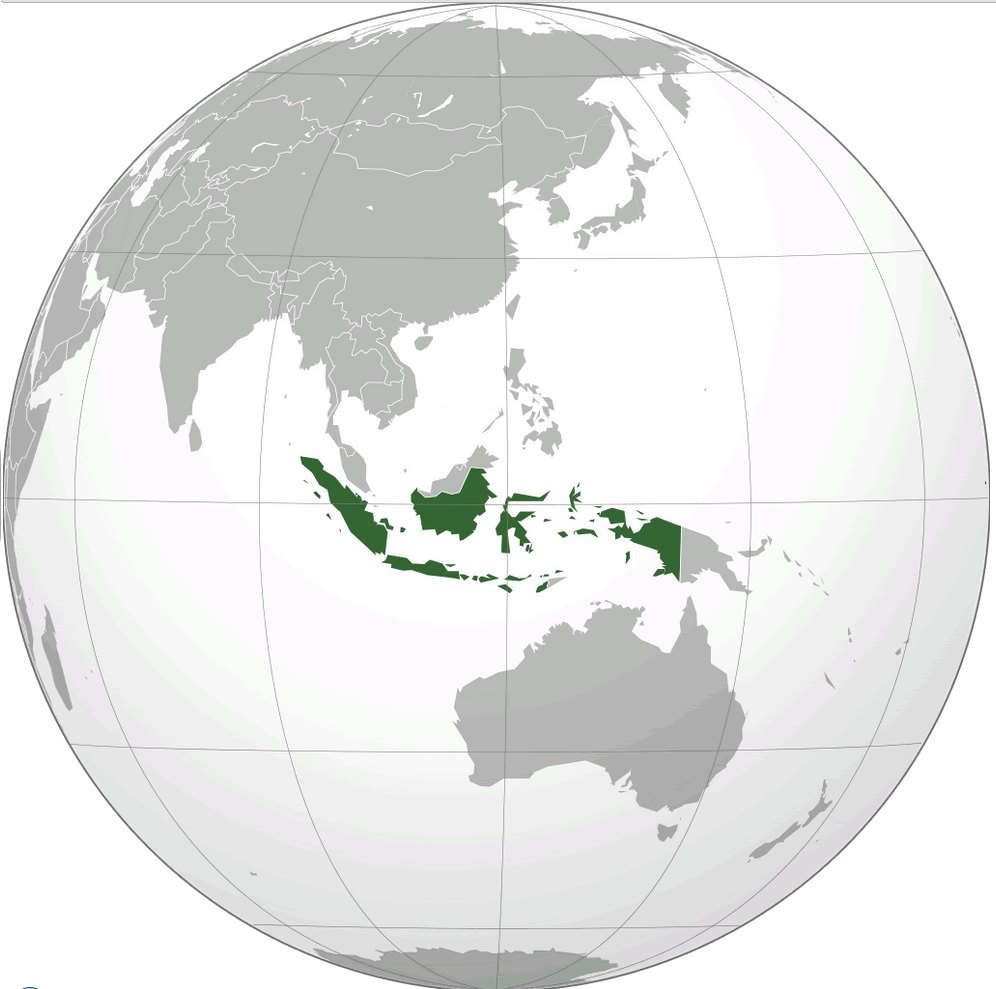
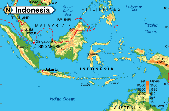
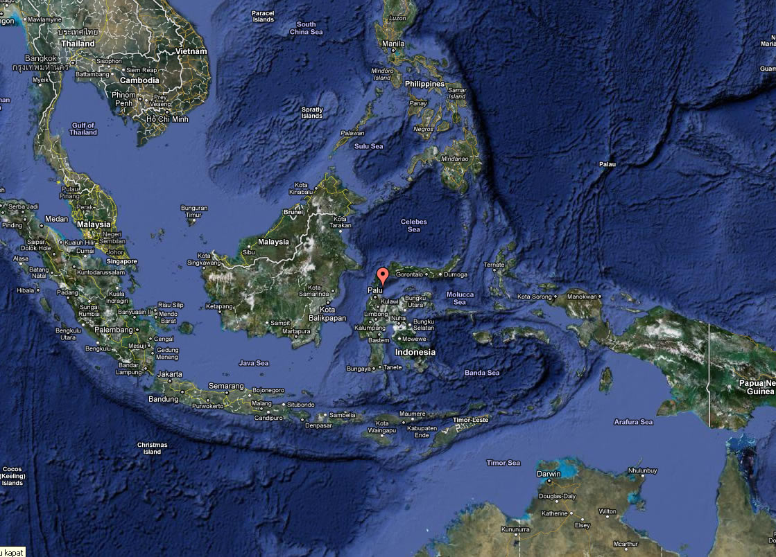
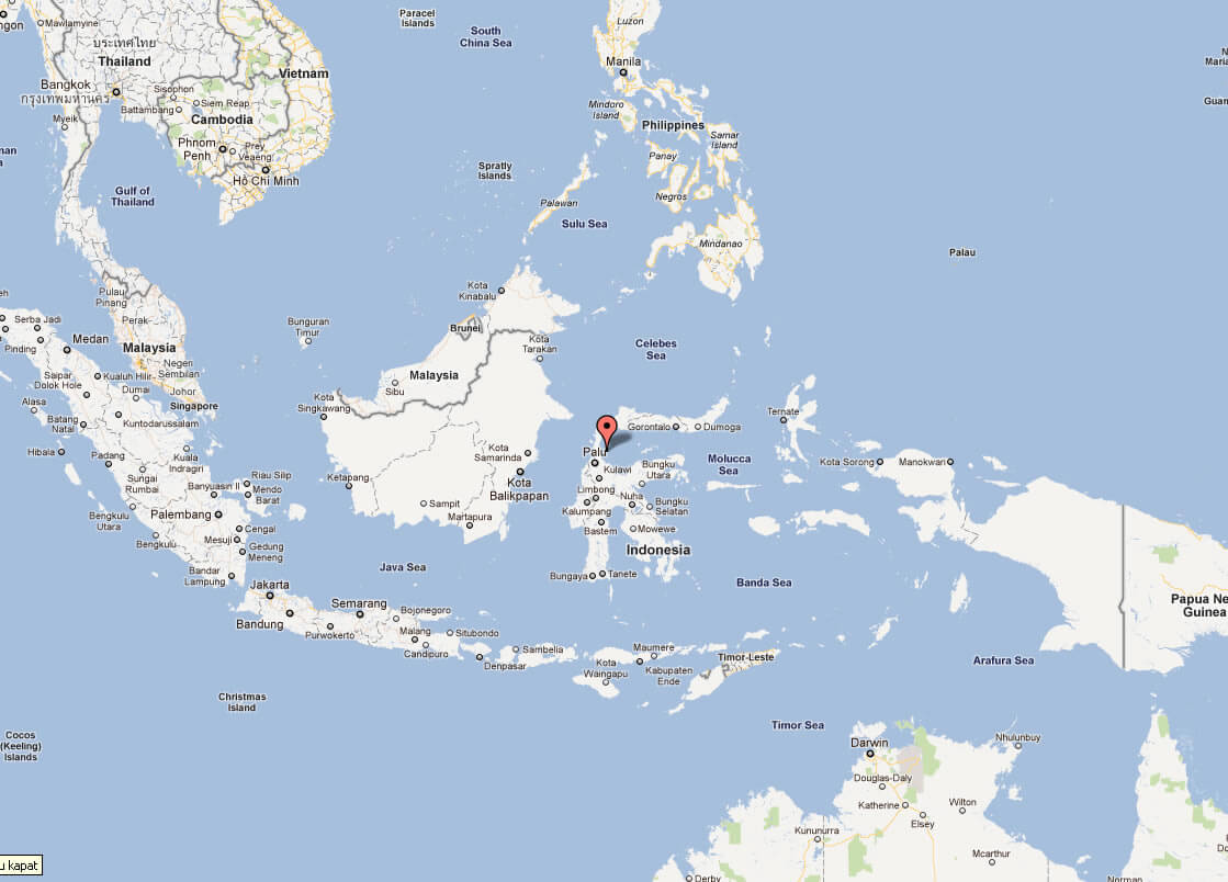
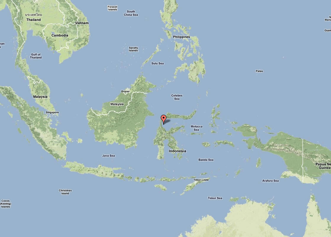
WHERE IS INDONESIA IN THE WORLD
INDONESIA LOCATION MAP
Can I download a high-resolution map of Indonesia ?
Yes. Download high-resolution political and physical maps of Indonesia for personal or educational use. Redistribution is subject to the terms of our license.
- Capital : Jakarta
- Population : 237,424,363
- GDP : $928.274 billion (17th)
- Per Capita : $3,797 (107th)
- Calling Code : +62
- Jobless Rate : 6.14%
- Time Zone : +7 - +9
For more about Indonesia >>
A Collection of Indonesia Maps and Indonesia Satellite Images
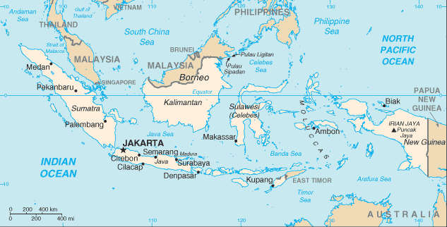
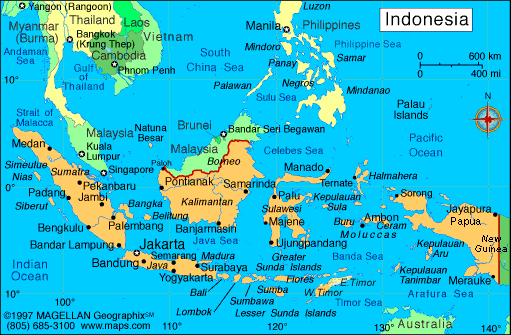
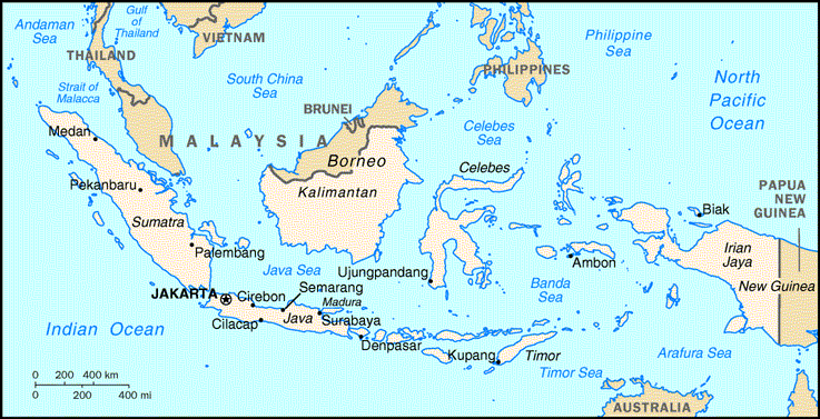
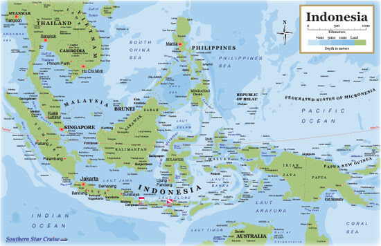
MAP OF INDONESIA

WHERE IS INDONESIA IN THE WORLD
INDONESIA LOCATION MAP
BLANK INDONESIA MAP
INDONESIA MAP
INDONESIA MAPS
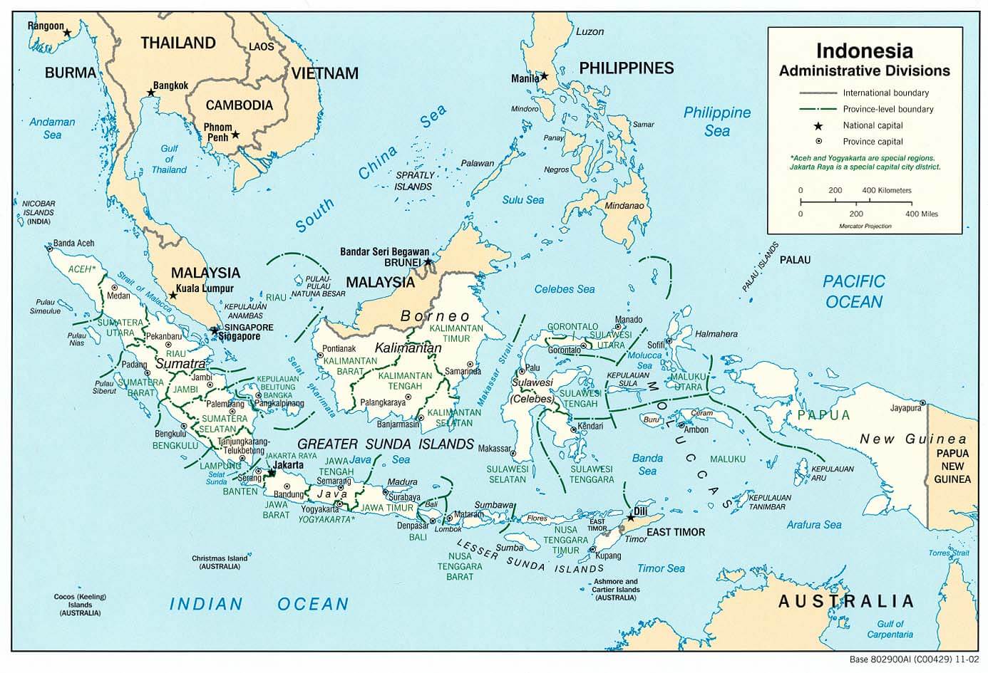
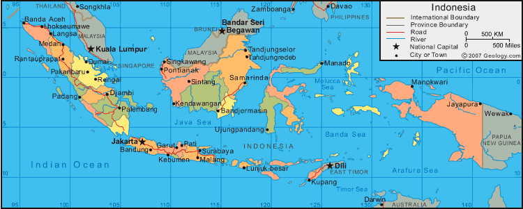
INDONESIA POLITICAL MAP
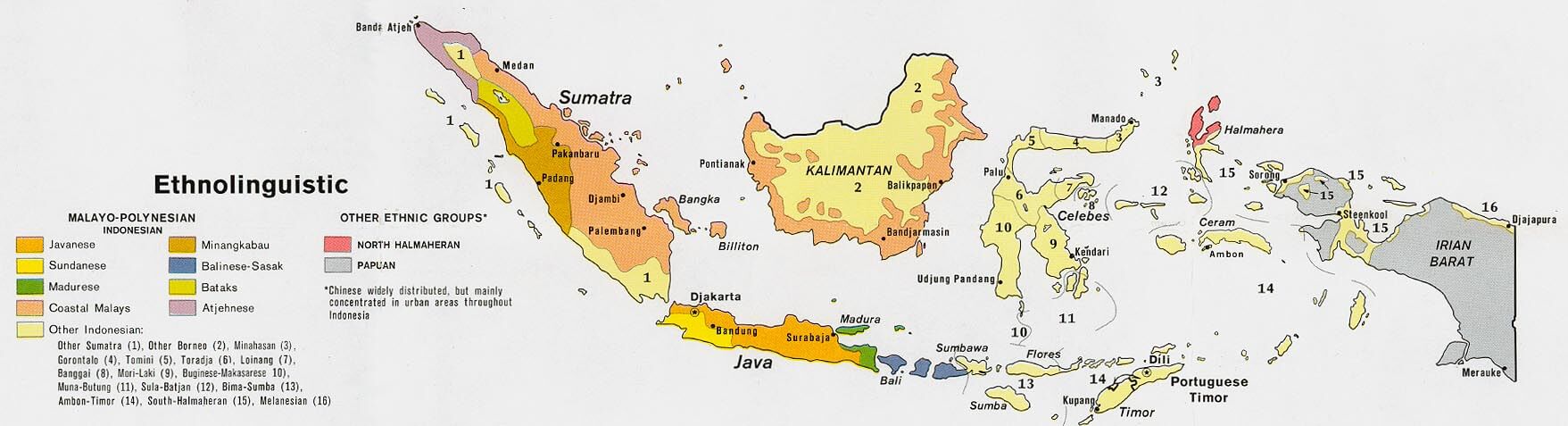
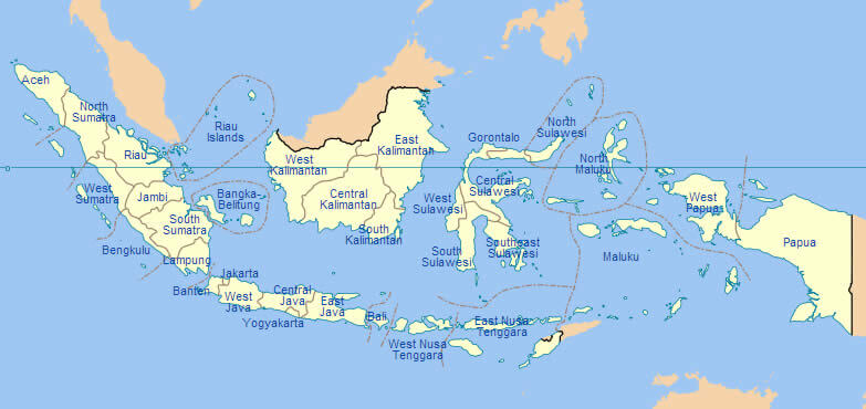
INDONESIA ETHNIC GROUPS MAP
INDONESIA MAP
INDONESIA MAP PHYSICAL
INDONESIA MAPS
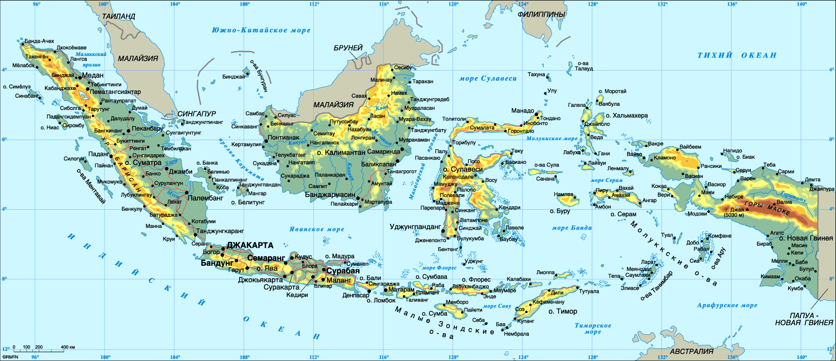
INDONESIA PHYSICAL MAP
INDONESIA POLITICAL MAP
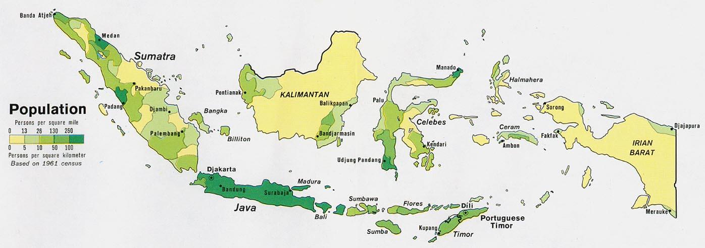
INDONESIA POPULATION MAP
INDONESIAMAP
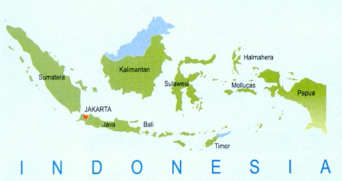
ISLANDS INDONESIA MAP
MAP OF INDONESIA
MAP OF INDONESIAS ISLANDS
MAP INDONESIA PHYSICAL
MAP OF INDONESIA BOUNDARIES
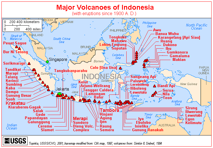
MAP OF INDONESIA VOLCANOES
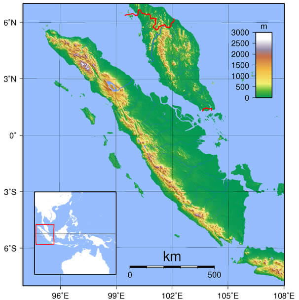
MAP OF SUMATRA INDONESIA
MAPS OF INDONESIA
PHYSICAL MAP OF INDONESIA
REGIONS PROVINCES OF INDONESIA MAP
SATELLITE IMAGE OF INDONESIA
SKETCH OF INDONESIA
TOPOGRAPHIC MAP OF INDONESIA
INDONESIA EARTH MAP
Embracing Bali: A Tapestry of Culture, Nature, and Timeless Beauty
Please subscribe on "World Guide" channnel on Youtube at youtube.com/c/WorldGuide
Bali for Explorers: The Ultimate Top 10 Adventure Guide
Largest Cities' Map of Indonesia
Bekasi Map Cimahi Map Surabaya Map Tangerang Map Malang Map Medan Map Batam Map Bogor Map Surakarta Map Tasikmalaya Map Padang Map Palembang Map Bandung Map Yogyakarta Map Denpasar Map Jakarta Map Pekanbaru Map Semarang Map Bandar Lampung Map Depok Map Pontianak Map Makassar Map Samarinda Map
Addresse: Hakarinne 2 Espoo, Uusimaa - Finland 02210
Web: istanbul-city-guide.com
Email: [email protected]
Web: istanbul-city-guide.com
Email: [email protected]
Copyright istanbul-city-guide.com - 2004 - 2026. All rights reserved. Privacy Policy | Disclaimer