Egypt Map and Egypt Satellite Images
Explore map of Egypt, Egypt map, cities map of Egypt, satellite images of Egypt, Egypt largest cities maps, political map of Egypt, driving directions, country atlas and traffic map.
Egypt Map FQA
How many cities are in Egypt ?
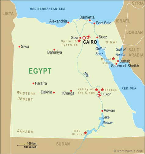
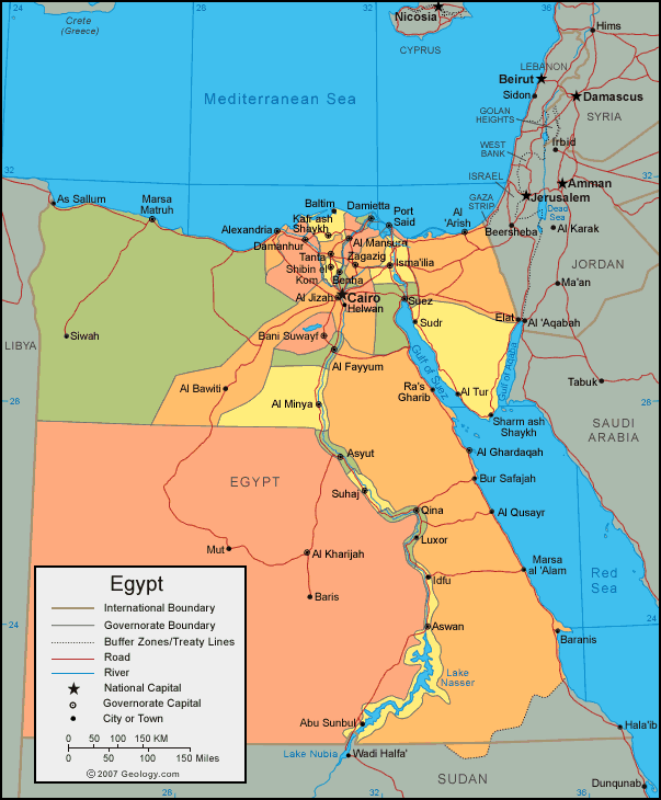
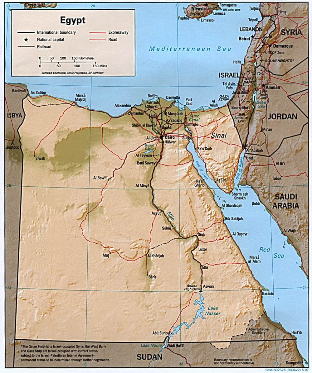
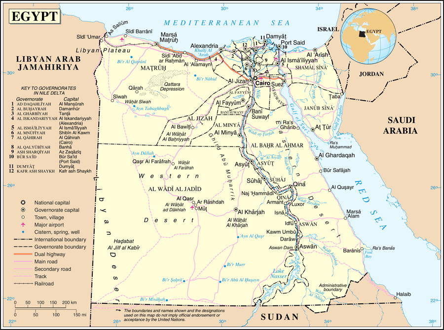
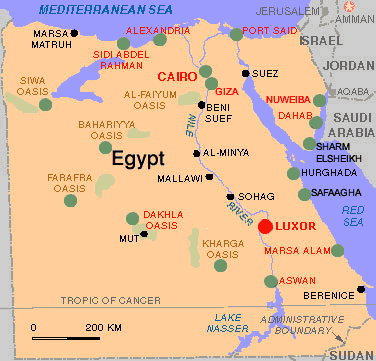
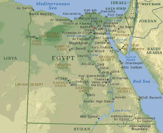
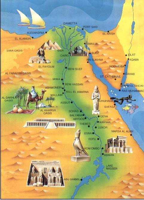
Egypt has more than 100 cities. The 10 largest are: Cairo, Alexandria, Giza, Shubra El Kheima, Port Said, Suez, El Mahalla El Kubra, Luxor, Mansoura, and Asyut.What are the major geographical features of Egypt ?
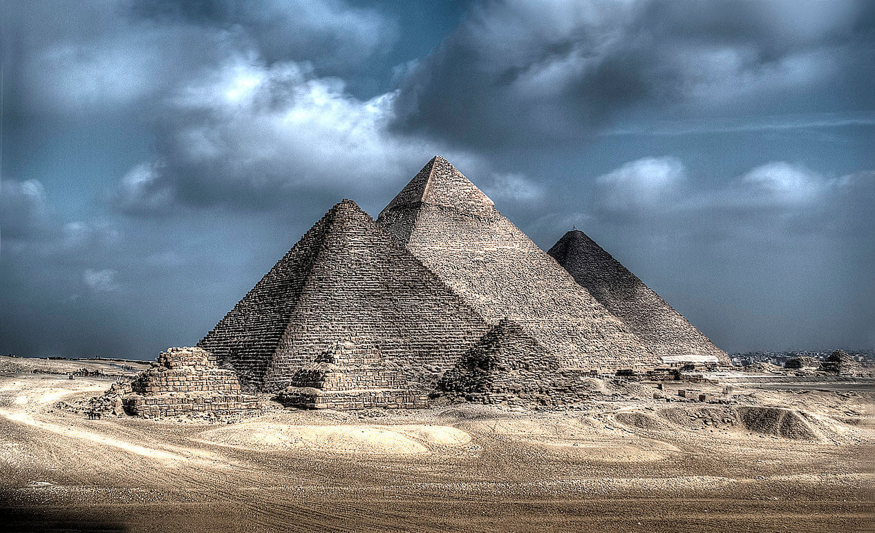
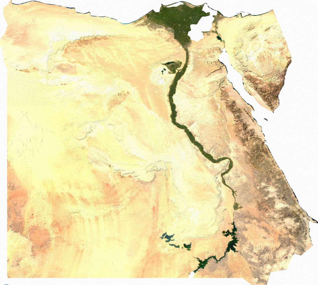
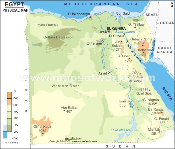
Egypt is dominated by the Nile River and its fertile valley and delta. The country is mostly desert, with the Western Desert, Eastern Desert, and Sinai Peninsula. It has plateaus, oases, and the Red Sea and Mediterranean coastlines.GIZA NECROPOLIS EGYPT
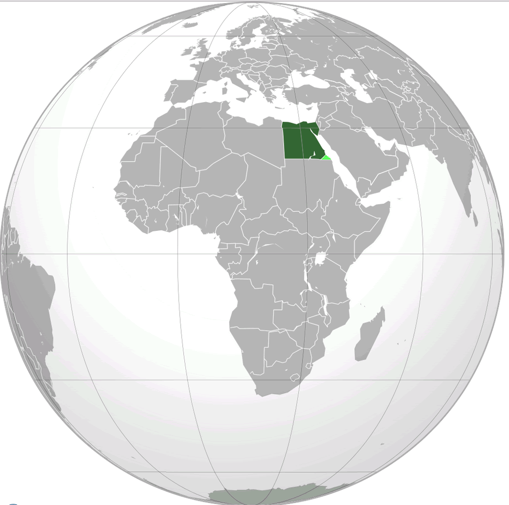
WHERE IS EGYPT IN THE WORLD
GIZA NECROPOLIS EGYPT
Can I download a high-resolution map of Egypt ?
Yes. Download high-resolution political and physical maps of Egypt for personal or educational use. Redistribution is subject to the terms of our license.
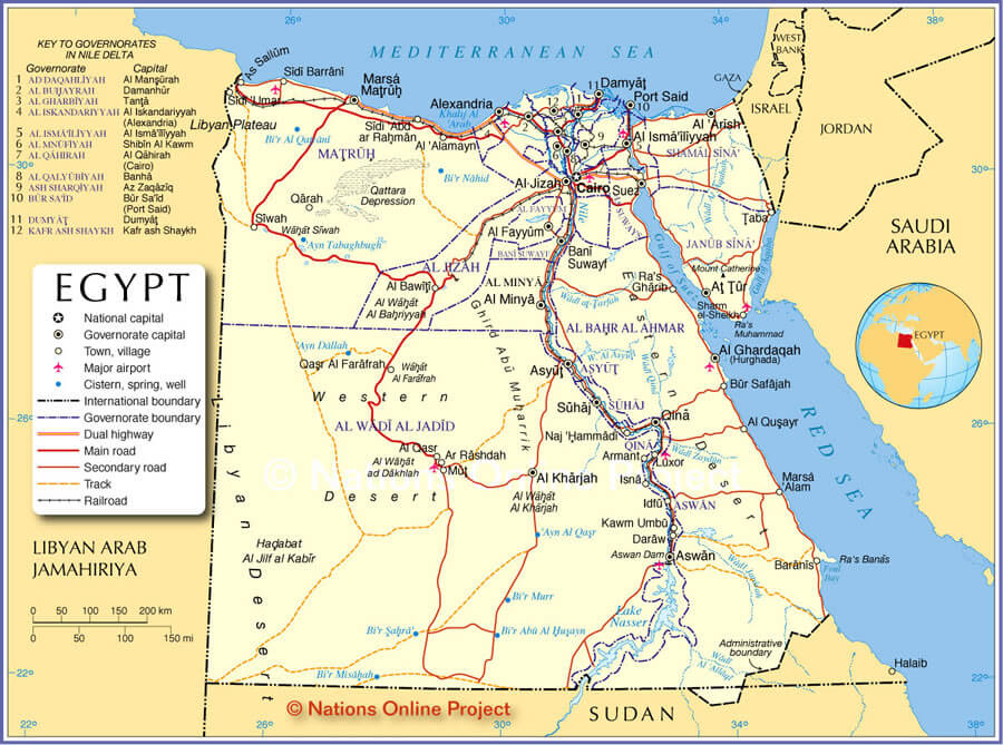
- Capital : Cairo
- Population : 90,000,000
- GDP : $252.458 billion
- Per Capita : $3,118
- Calling Code : +20
- Jobless Rate : 12.50%
- Time Zone : +2
For more about Egypt >>
A Collection of Egypt Maps and Egypt Satellite Images
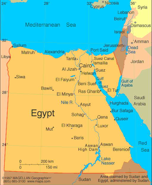
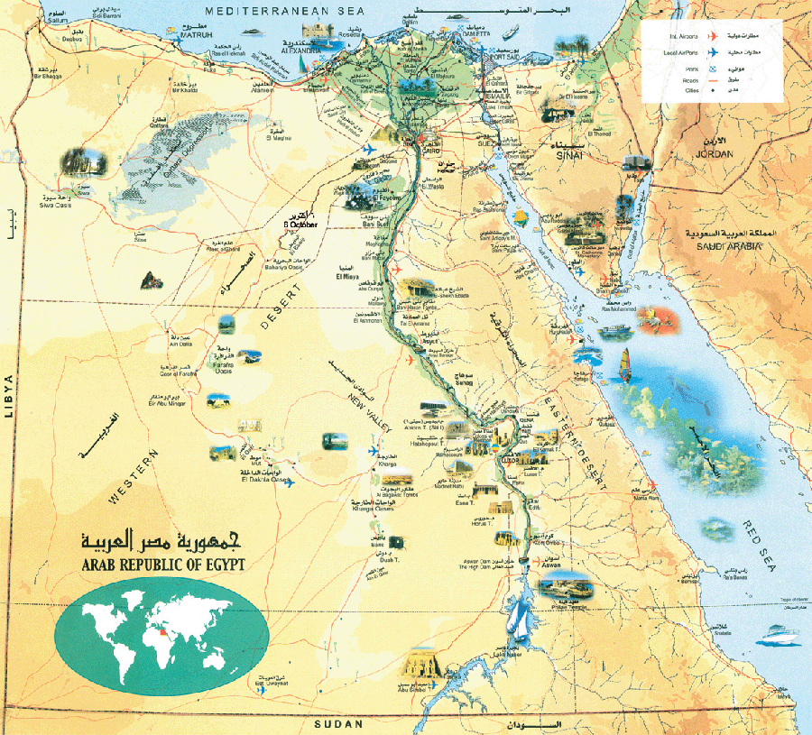
MAP OF EGYPT
WHERE IS EGYPT IN THE WORLD
GIZA NECROPOLIS EGYPT
EGYPT NILE RIVER SATELLITE IMAGE
CORAL REEF RAS MUHAMMAD EGYPT

ANCIENT EGYPT MAP
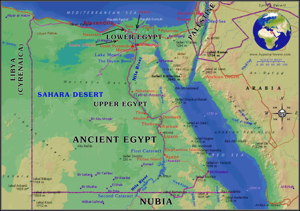
ANCIENT EGYPT MAP
DENMARK EARTH MAP
EGYPT MAP
EGYPT MAP
EGYPT MAP
EGYPT MAP
EGYPT PHYSICAL MAP
MAP OF EGYPT
MAP OF EGYPT
MAPS EGYPT
MAPS OF EGYPT
MAPS OF EGYPT
Exploring the Heart of Egypt: Top 10 Cairo Attractions
Please subscribe on "World Guide" channel on Youtube at youtube.com/c/WorldGuide
Addresse: Hakarinne 2 Espoo, Uusimaa - Finland 02210
Web: istanbul-city-guide.com
Email: [email protected]
Web: istanbul-city-guide.com
Email: [email protected]
Copyright istanbul-city-guide.com - 2004 - 2026. All rights reserved. Privacy Policy | Disclaimer