Aruba Map and Aruba Satellite Images
Explore map of Aruba, Aruba map, cities map of Aruba, satellite images of Aruba, Aruba largest cities maps, political map of Aruba, driving directions, country atlas and traffic map.
Aruba Map FQA
How many cities are in Aruba ?
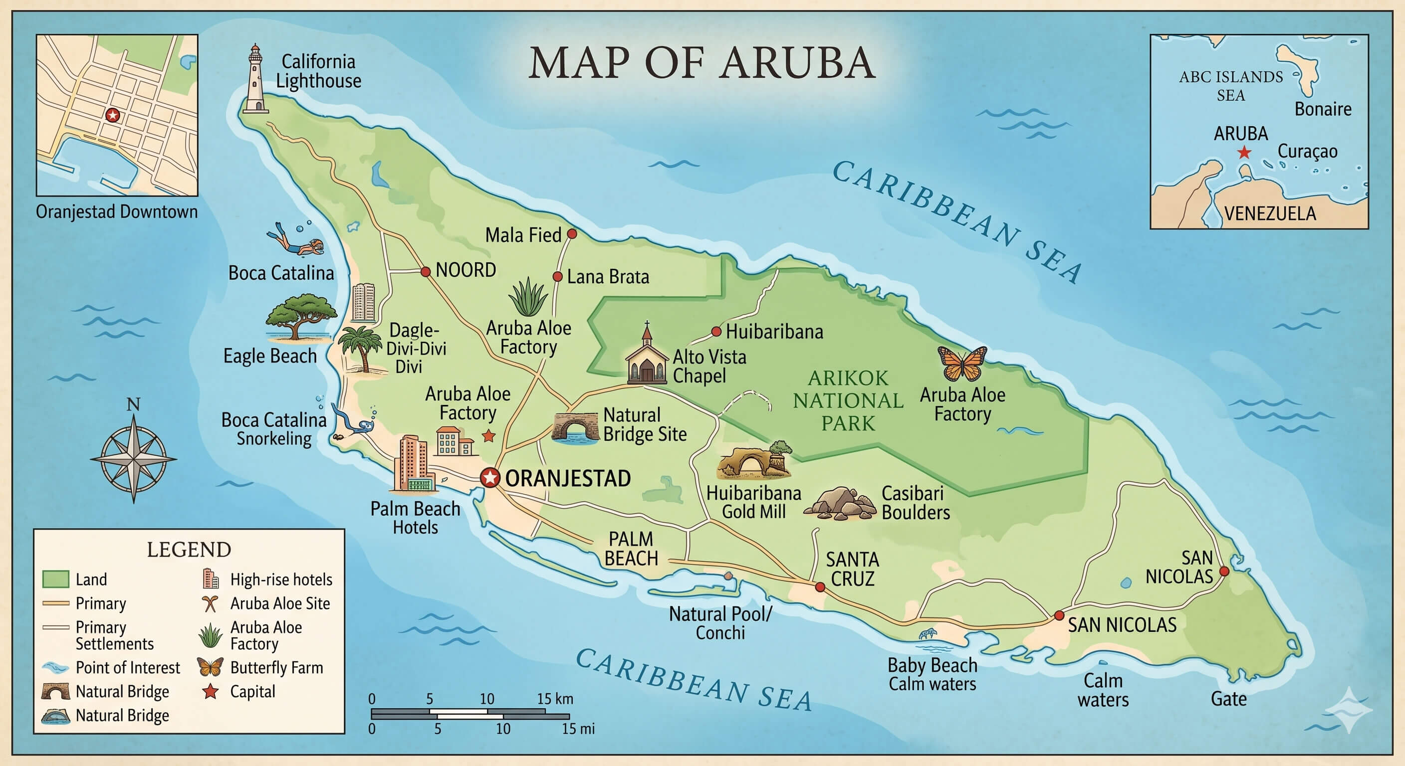
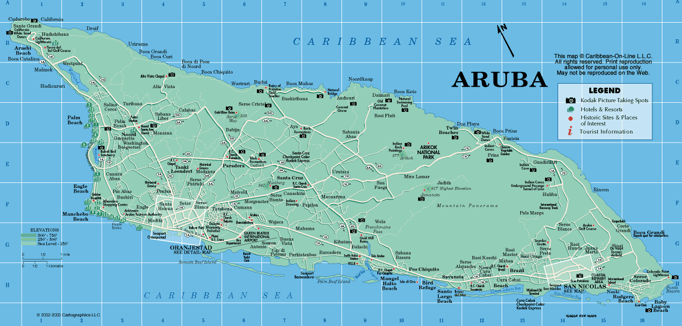
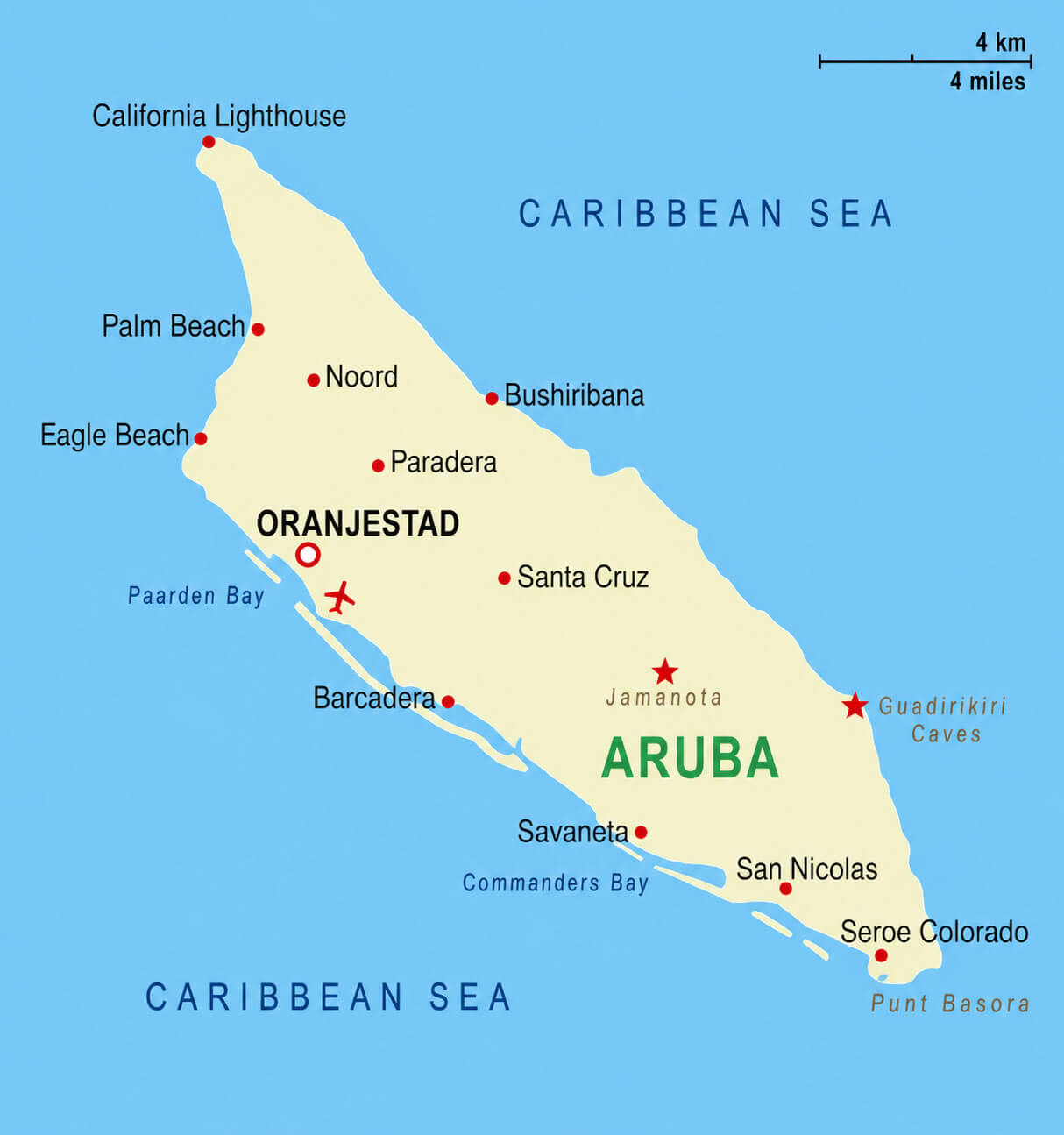
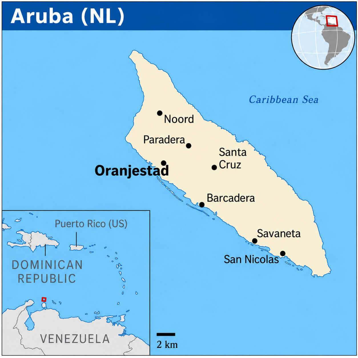
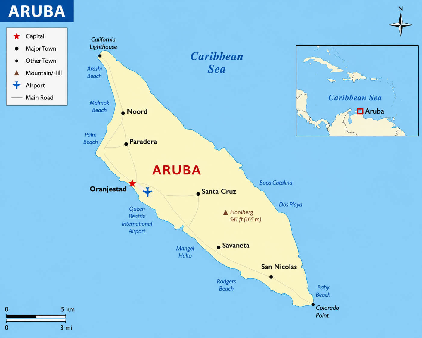
Aruba has a few main towns. Largest include Oranjestad, San Nicolaas, Santa Cruz, Noord, Paradera, and Savaneta.What are the major geographical features of Aruba ?
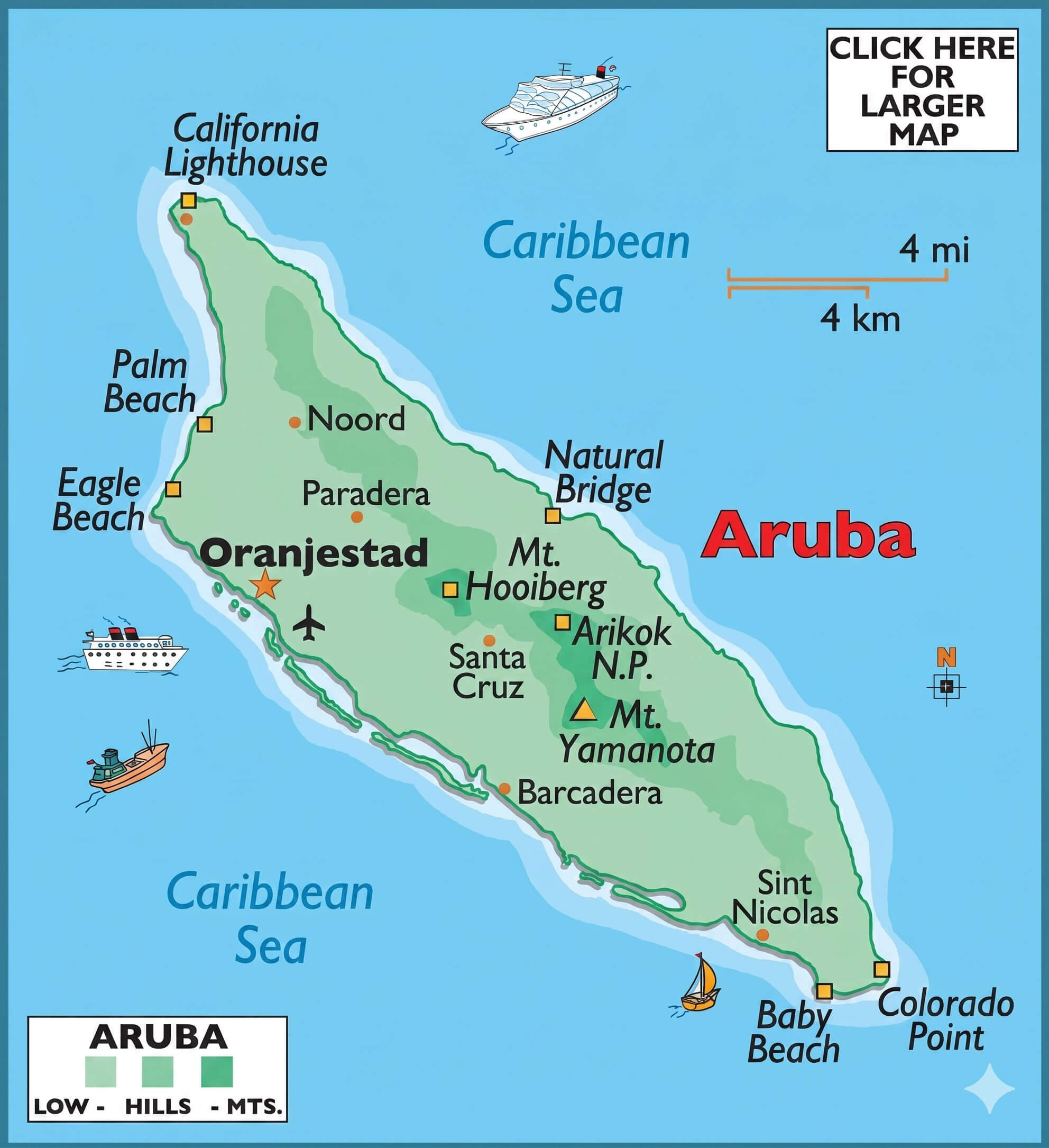
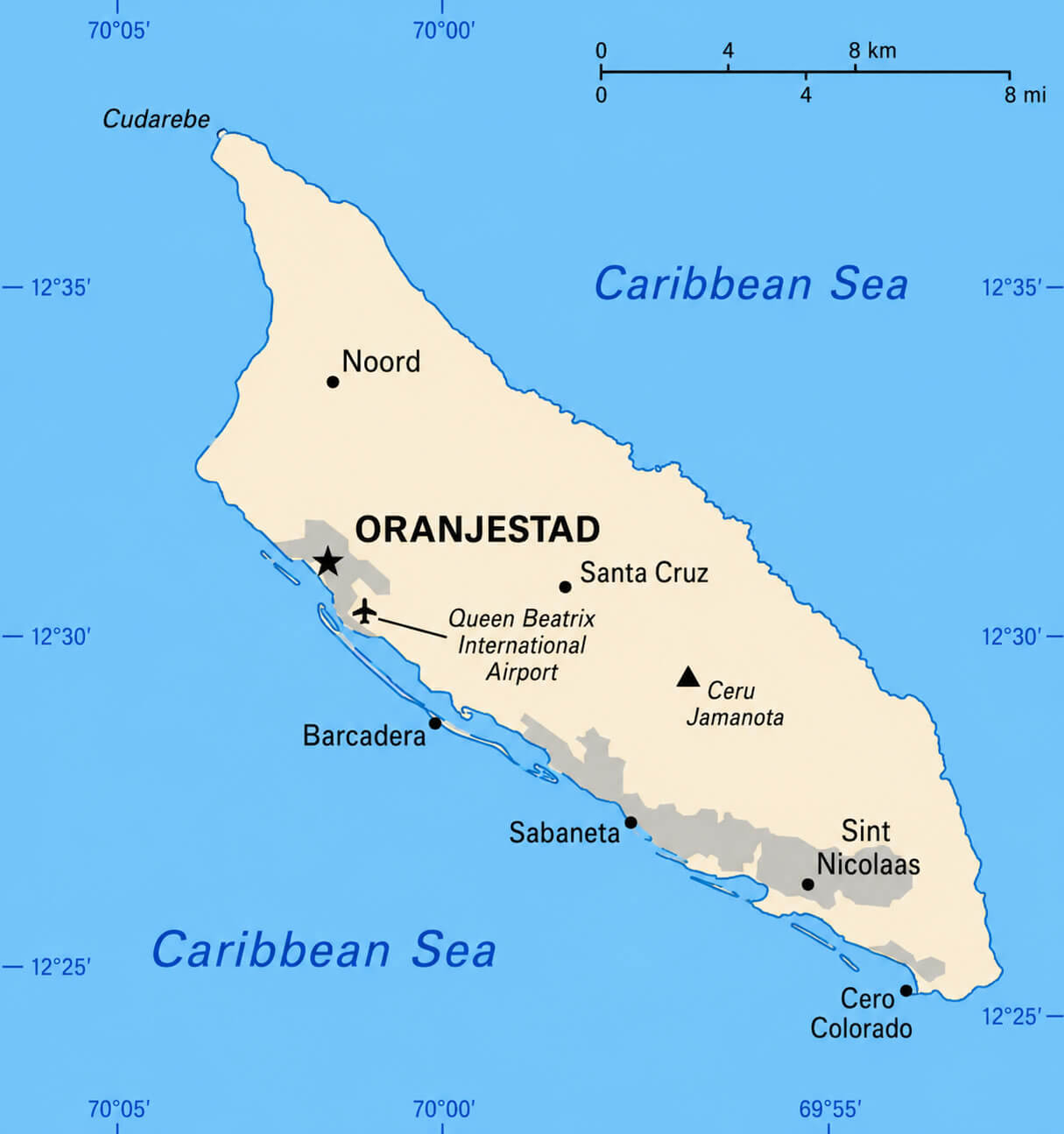
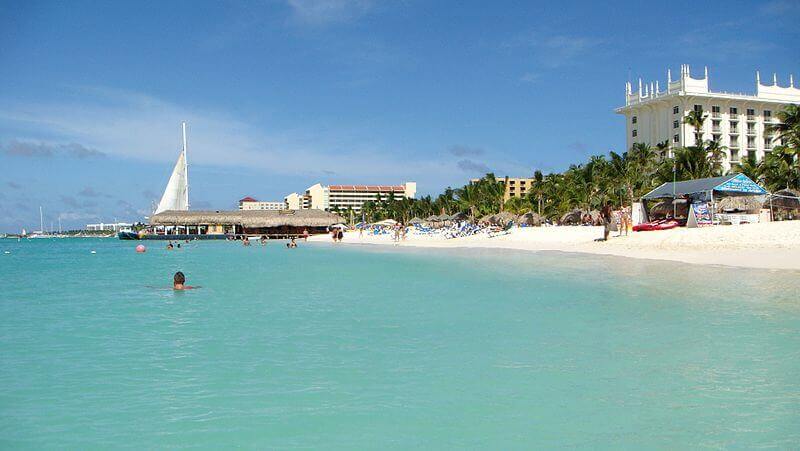
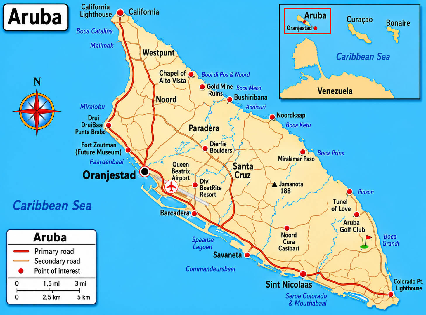
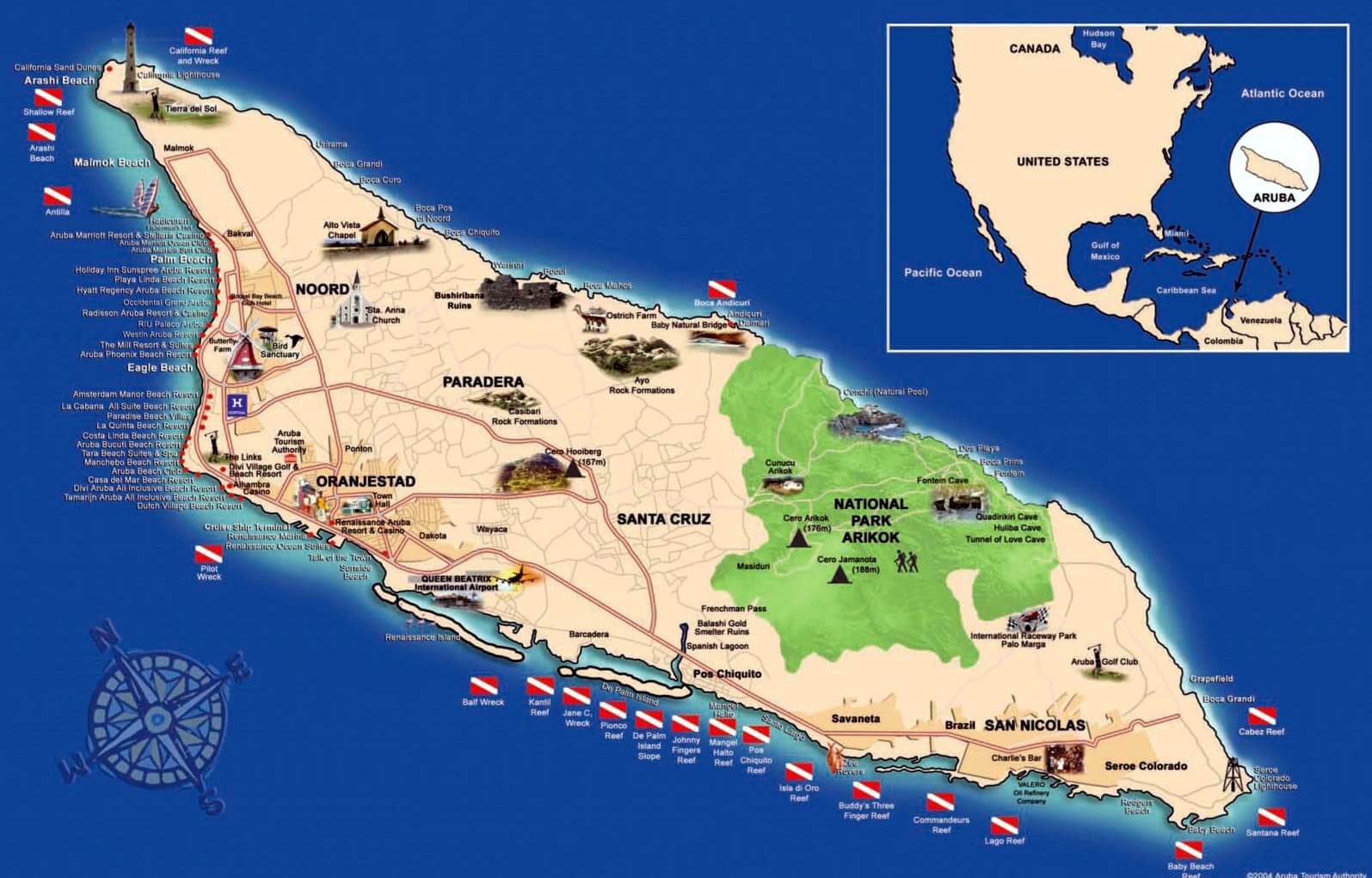
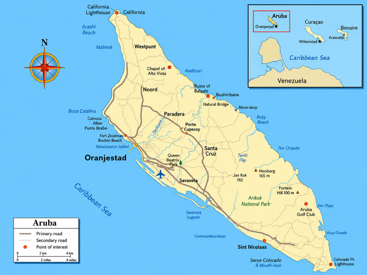
Aruba, a Caribbean island, is mostly flat and dry with a desert-like landscape. It has white sandy beaches, limestone formations, and its highest point is Mount Jamanota. The island is surrounded by coral reefs.ARUBA TOURIST MAP
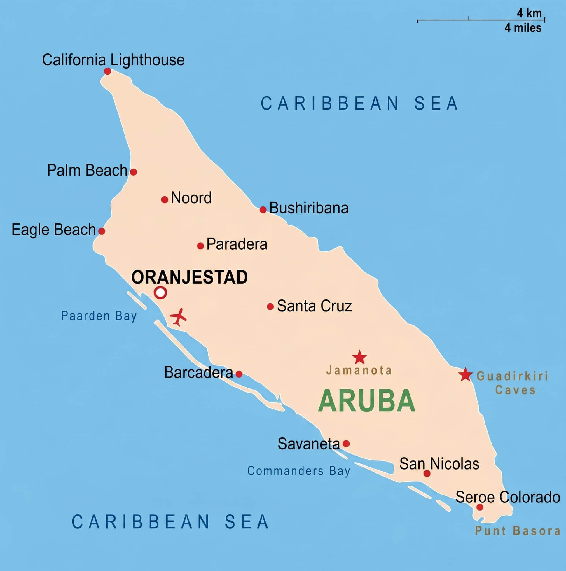
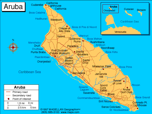
ARUBA POLITICAL MAP
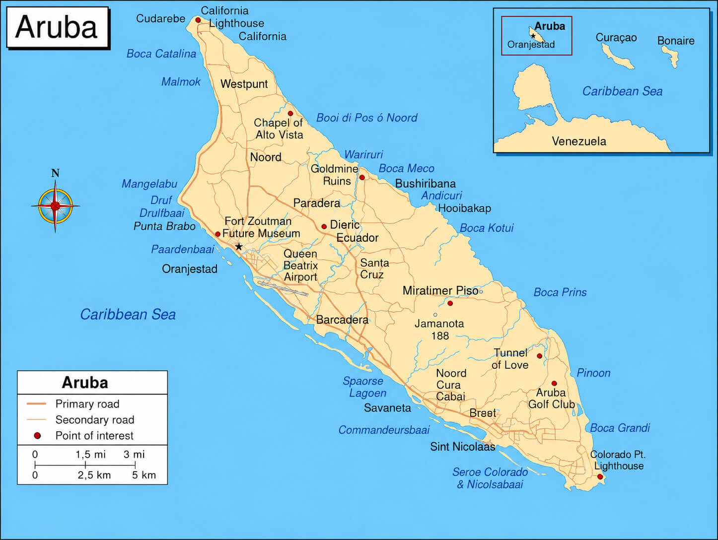
ARUBA TOURIST MAP
Can I download a high-resolution map of Aruba ?
Yes. Download high-resolution political and physical maps of Aruba for personal or educational use. Redistribution is subject to the terms of our license.
- Capital : Oranjestad
- Population : 101,484
- GDP : $2.400 billion
- Per Capita : $23,831
- Calling Code : +297
- Jobless Rate : N/A
- Time Zone : -4
For more about Aruba >>
A Collection of Aruba Maps and Aruba Satellite Images
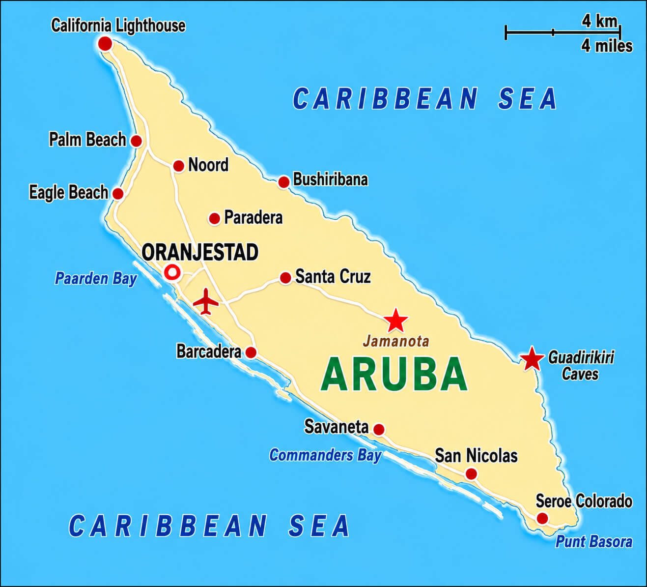
ARUBA ISLAND MAP
ARUBA POLITICAL MAP
ARUBA TOURIST MAP
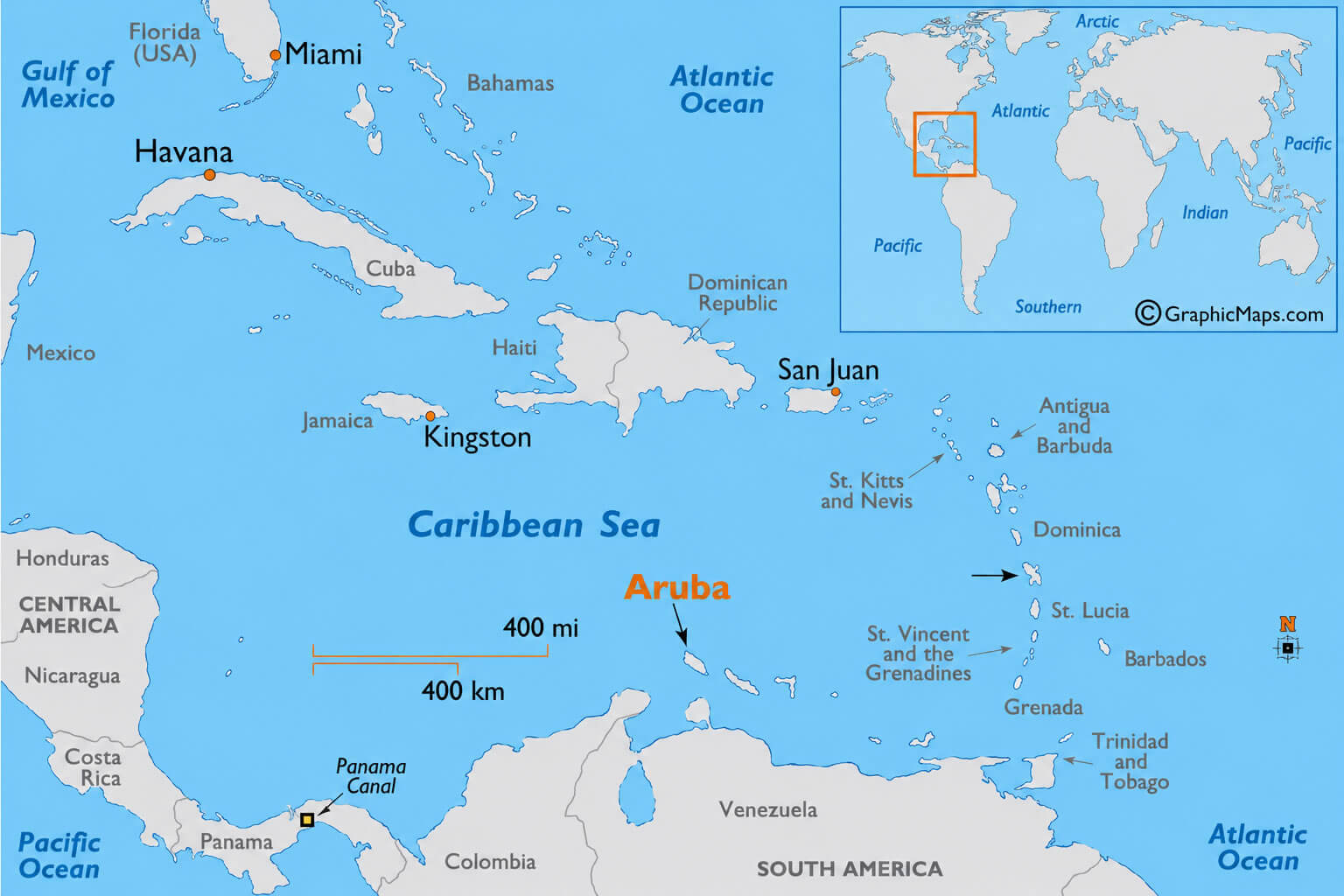
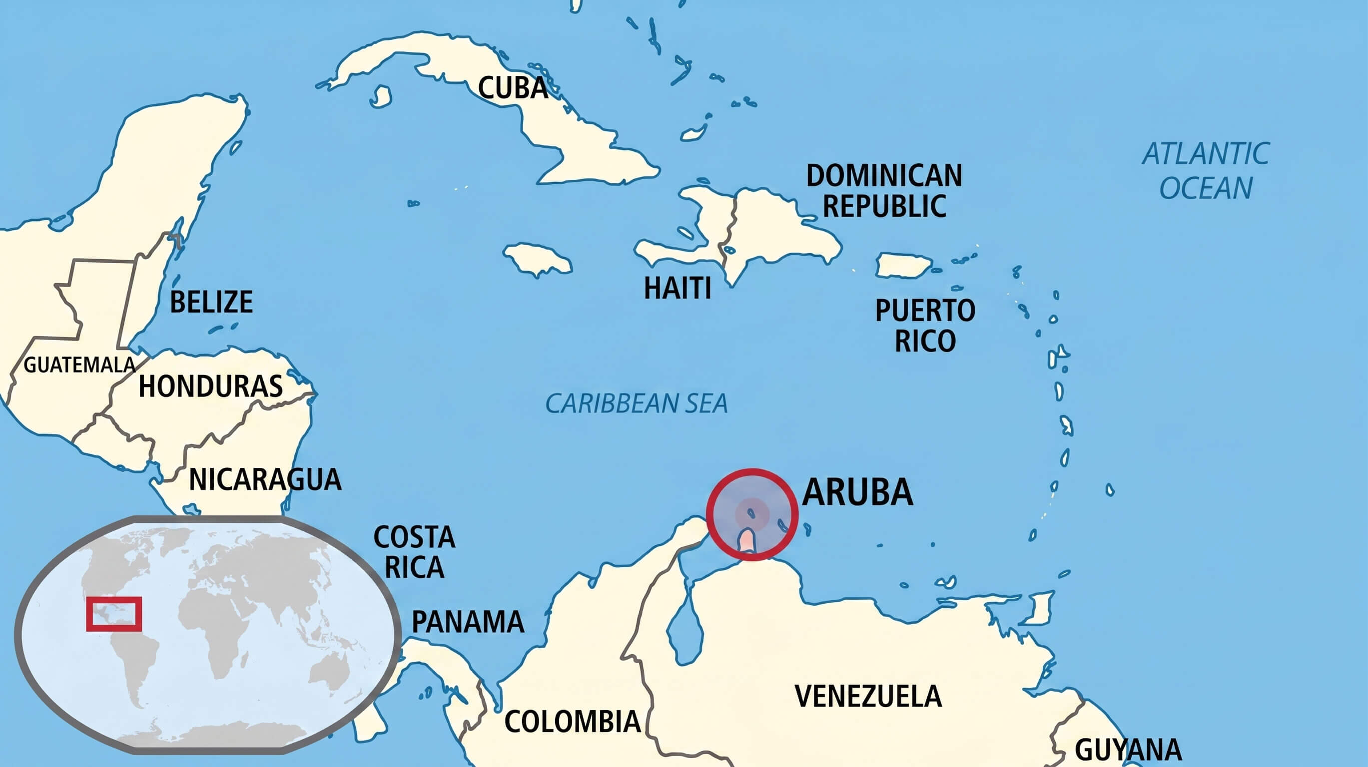
CARIBBEAN ISLANDS MAP WITH ARUBA
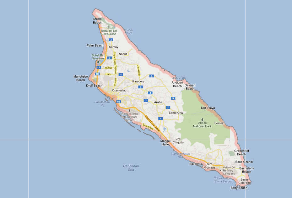
ARUBA CITIES MAP WITH ROUTES
ARUBA DETAILED MAP WITH ORANJESTAD
ARUBA CITIES MAP
ARUBA DETAILED MAP
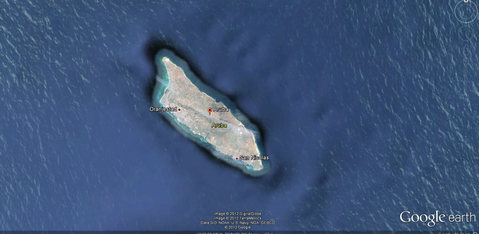
ARUBA EARTH MAP
ARUBA ISLAND MAP
ARUBA ISLAND ROAD MAP
ARUBA LOCATION MAP
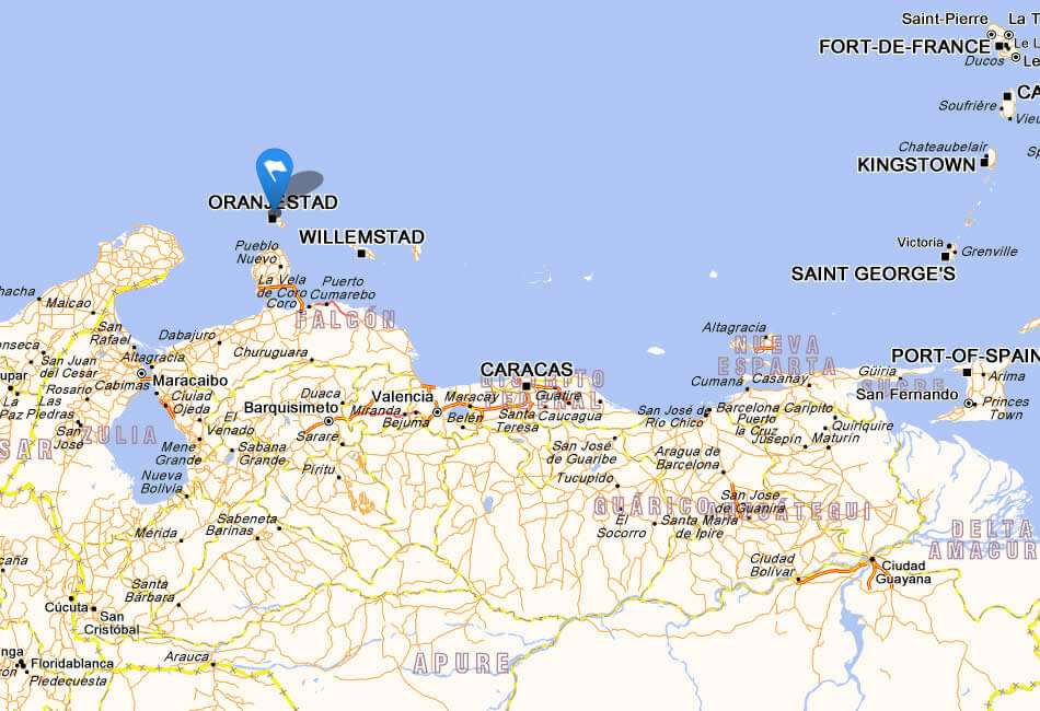
ARUBA MAP WITH ORANJESTAD
ARUBA ORANJESTAD MAP
ARUBA PALM BEACH
ARUBA ROAD MAP
ARUBA TOURISM MAP
MAP OF ARUBA
WHERE IS ARUBA ON THE WORLD MAP
WHERE ISI ARUBA
Addresse: Hakarinne 2 Espoo, Uusimaa - Finland 02210
Web: istanbul-city-guide.com
Email: [email protected]
Web: istanbul-city-guide.com
Email: [email protected]
Copyright istanbul-city-guide.com - 2004 - 2026. All rights reserved. Privacy Policy | Disclaimer