Delaware Map and Delaware Satellite Images
Delaware Map - Explore the map of Delaware, the second smallest state in the United States. Discover the cities, towns, highways, and landmarks of Delaware with WorldMap1's interactive map. Plan your next trip or simply satisfy your curiosity about the geography of this beautiful state.
Delaware Map FQA
How many cities are in Delaware ?
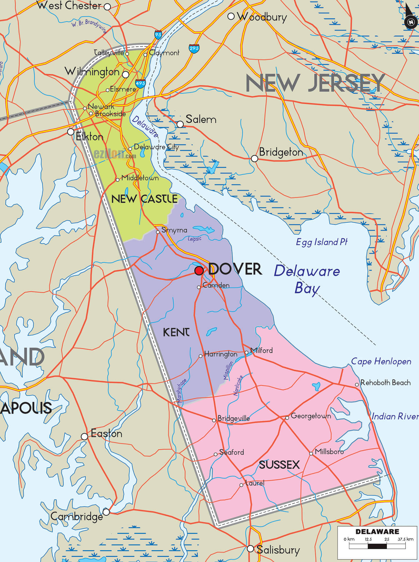
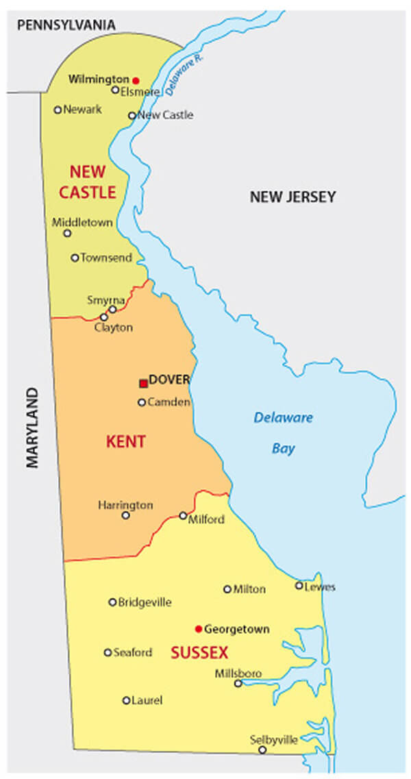
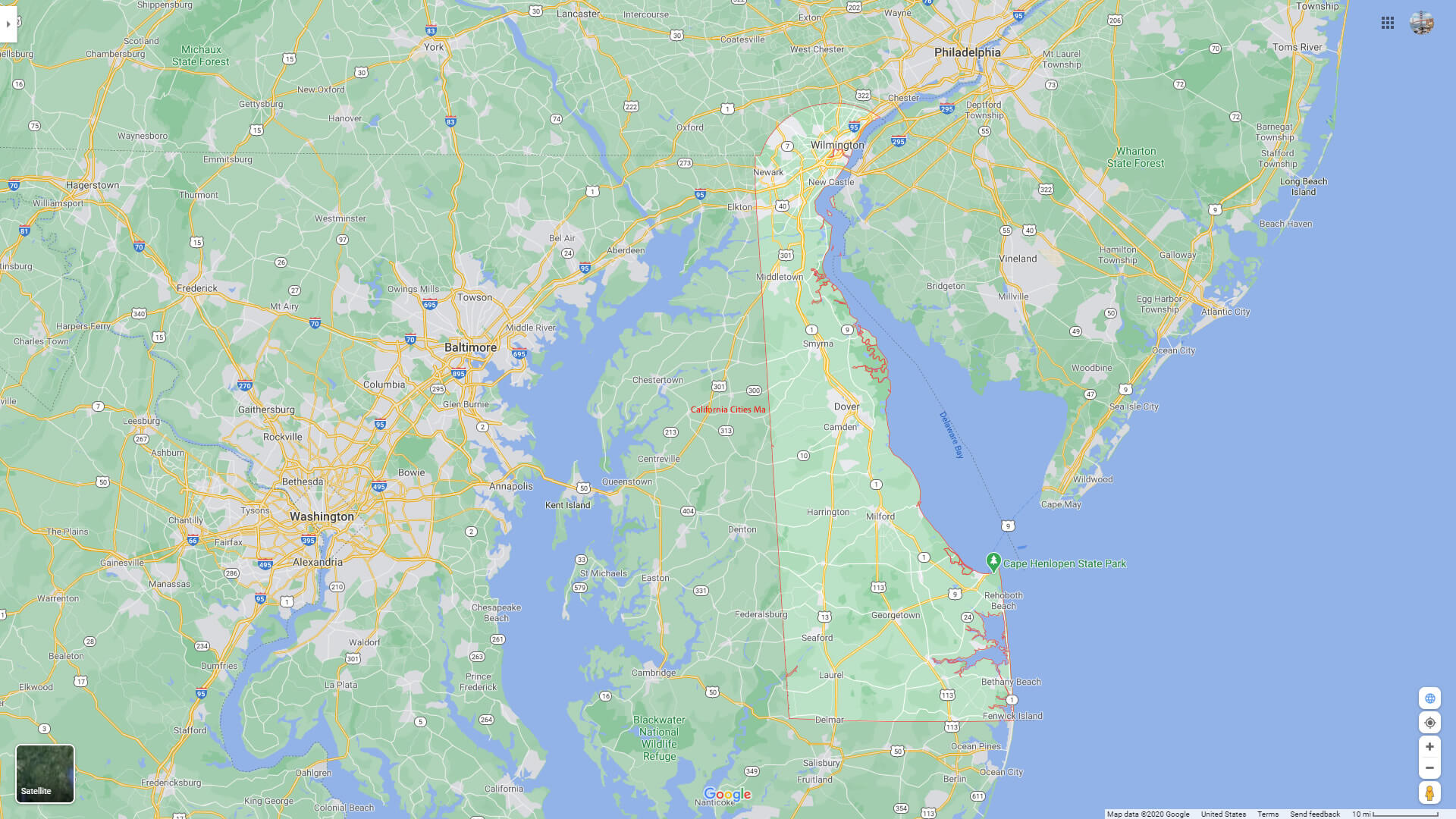
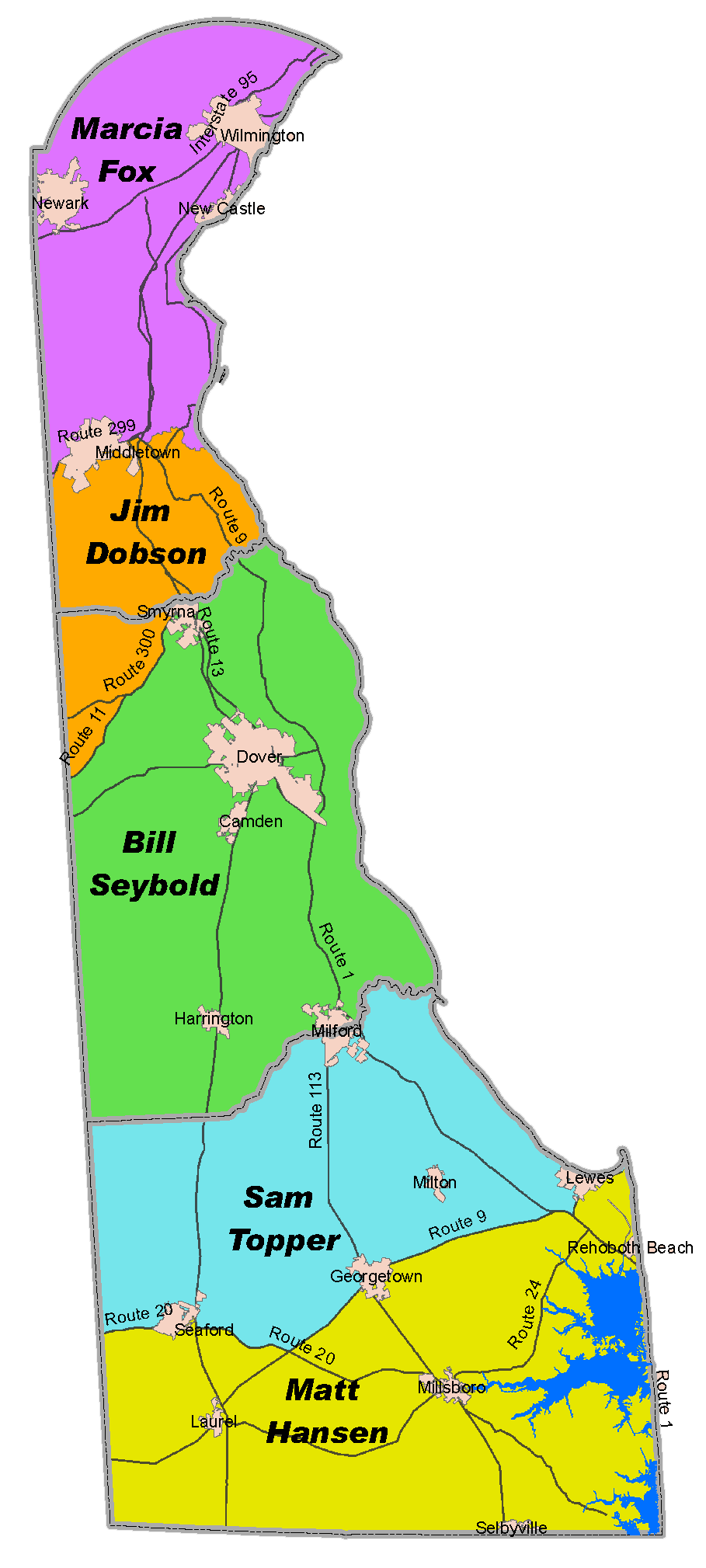
Delaware has 3 counties. The largest by population are: New Castle County; Sussex County; Kent County.What are the major geographical features of Delaware ?
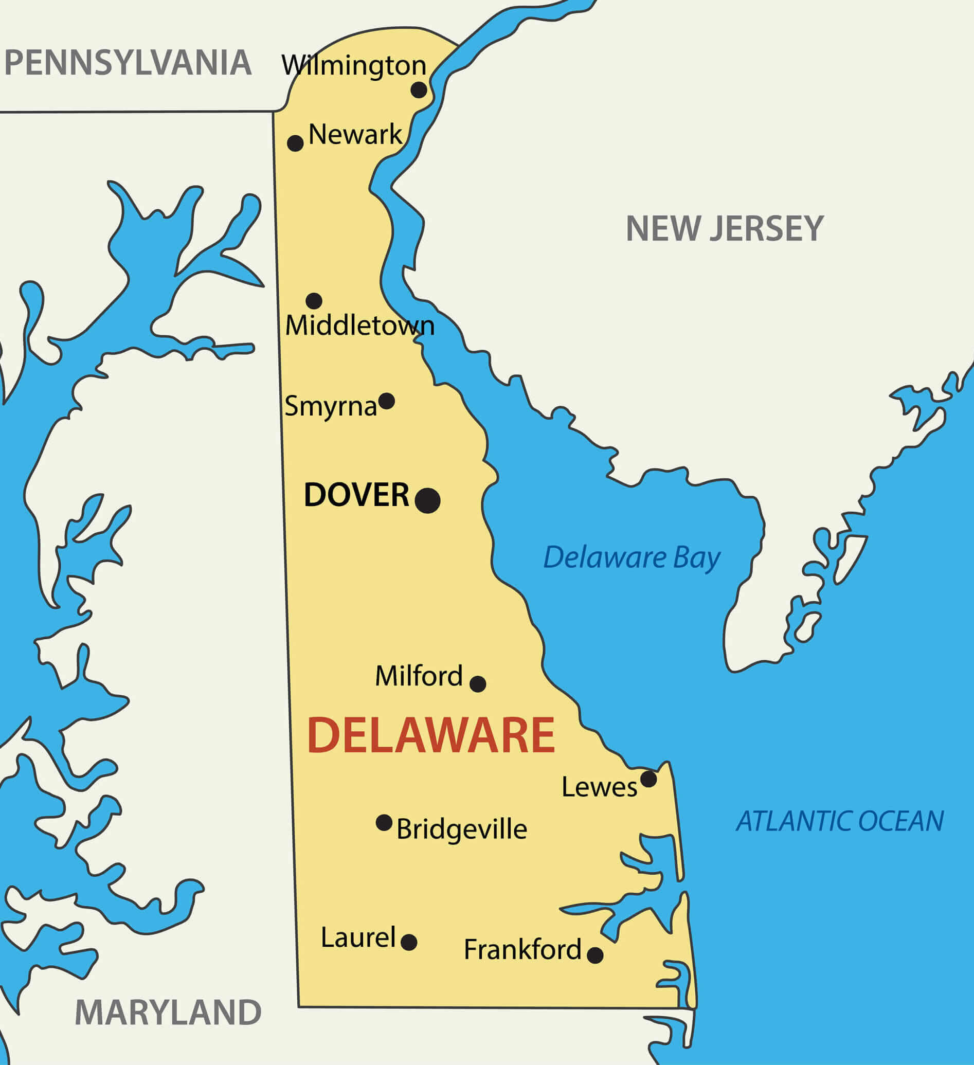
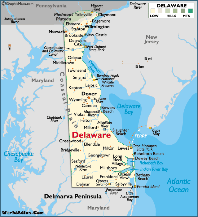
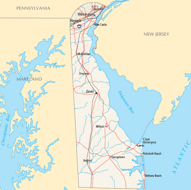
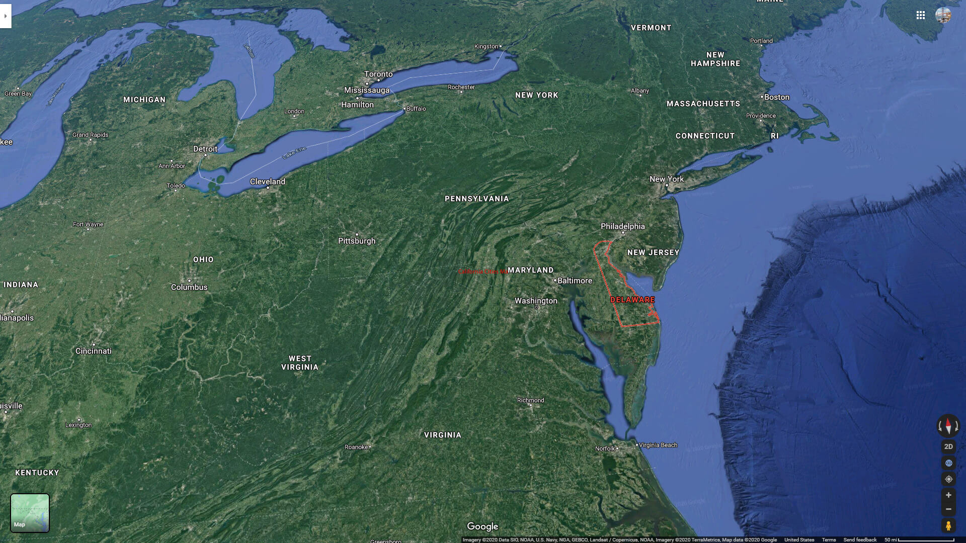
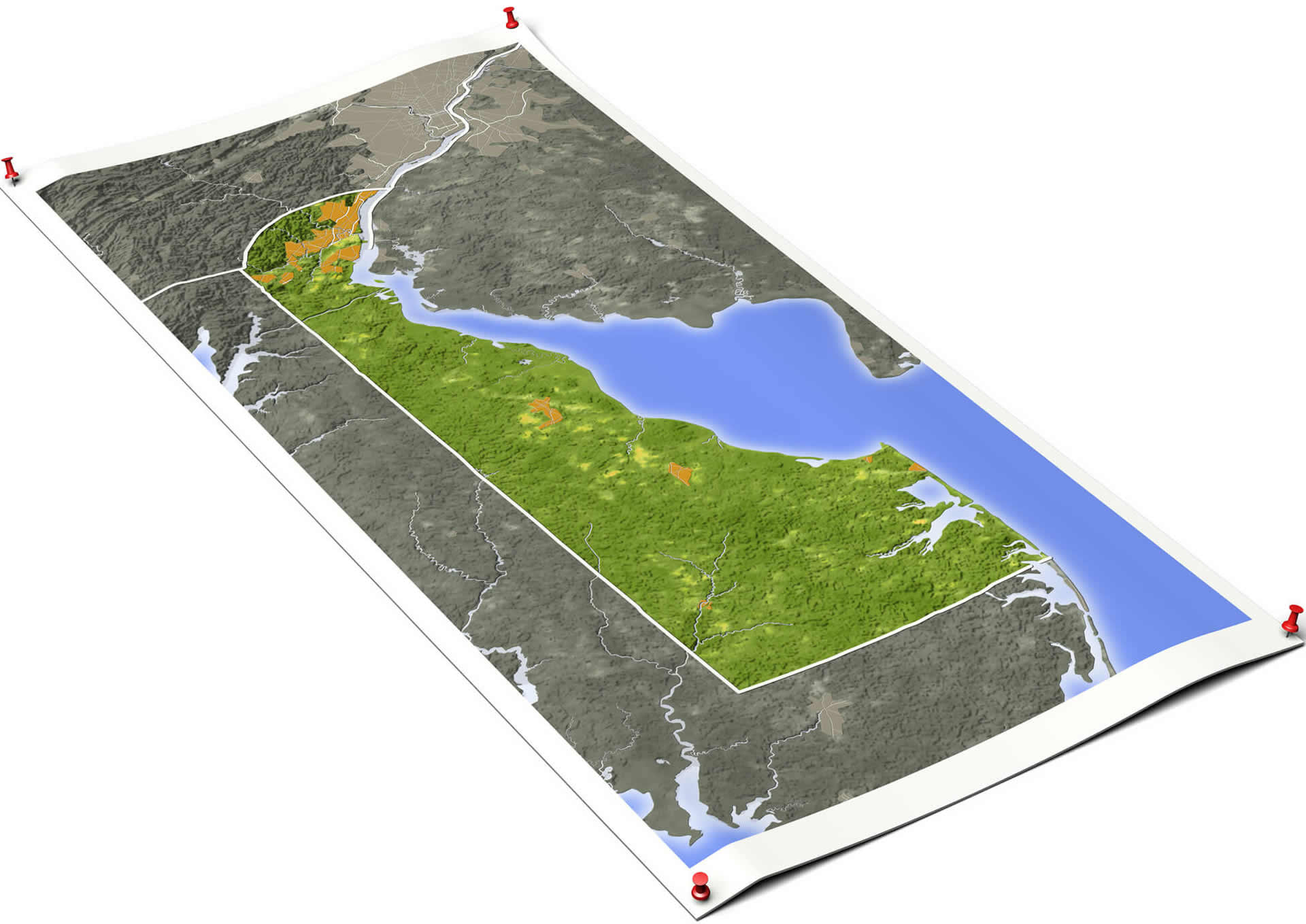
Delaware is located on the Atlantic coast, bordered by the Delaware River, Delaware Bay, and the Atlantic Ocean. The state is largely flat, part of the Atlantic Coastal Plain, with wetlands and sandy beaches. The northern region includes the Piedmont Plateau with rolling hills.Can I download a high-resolution map of Delaware ?
Yes. Download high-resolution political and physical maps of Delaware for personal or educational use. Redistribution is subject to the terms of our license.For all Delaware Cities Map
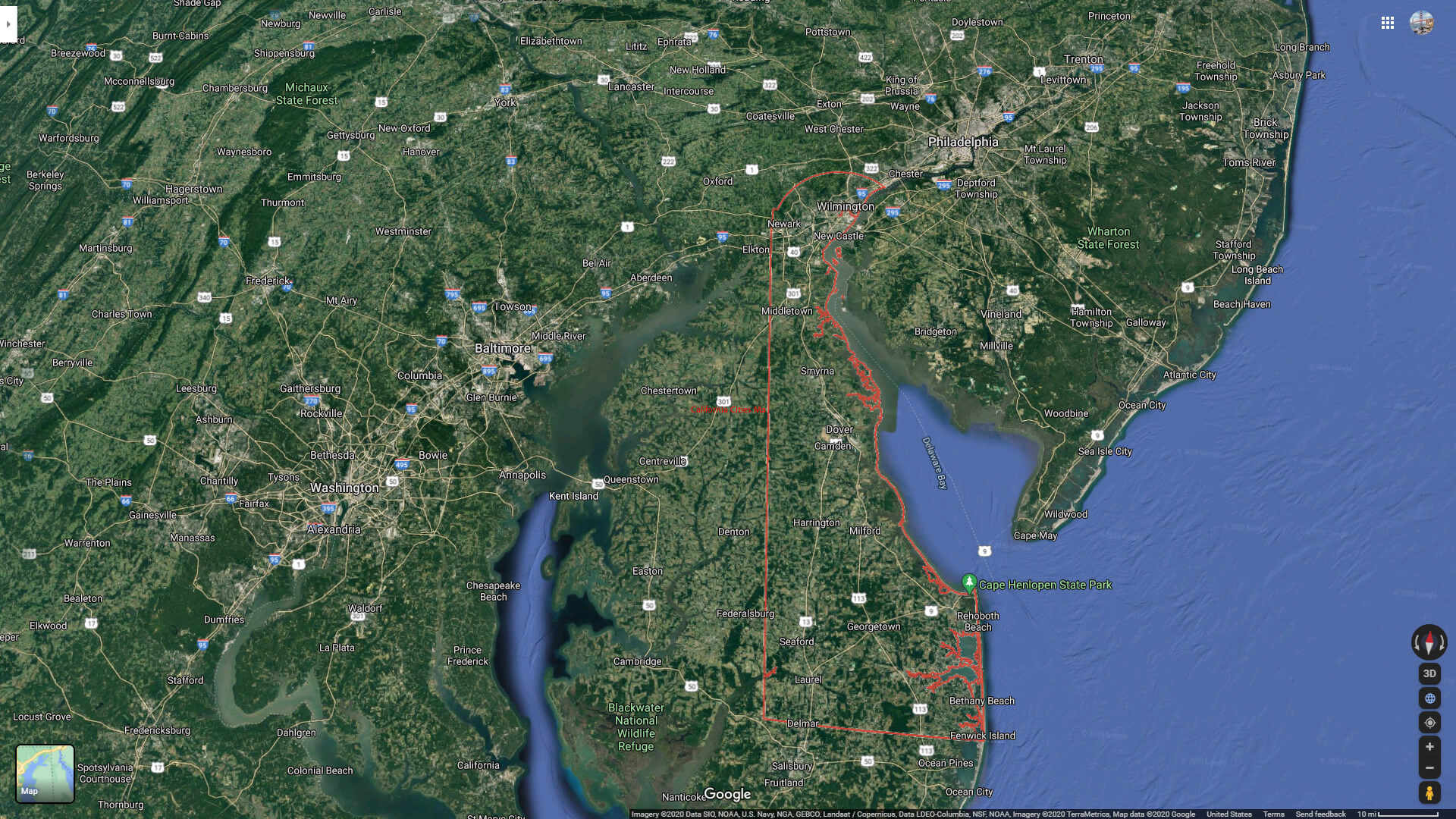
Delaware Administrative Map USA

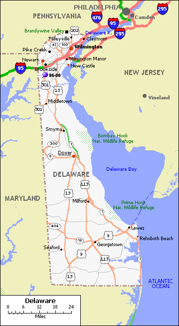
delaware counties road map usa
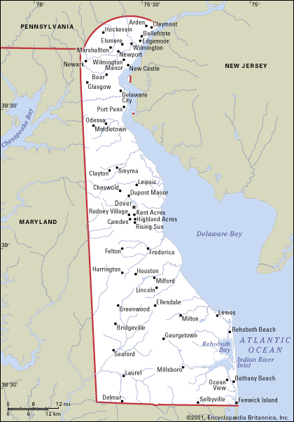
Largest Cities Map of Delaware and Population
Wilmington Map - 70,851 Dover Map - 36,047 Newark Map - 31,454 Bear Map - 19,371 Middletown Map - 18,871 Brookside Map - 14,353 Glasgow Map - 14,303 Hockessin Map - 13,527 Pike Creek Valley Map - 11,217 Smyrna Map - 10,023 Milford Map - 9,559 Claymont Map - 8,253 North Star Map - 7,980 Pike Creek Map - 7,898 Wilmington Manor Map - 7,889Brief information about Delaware, US
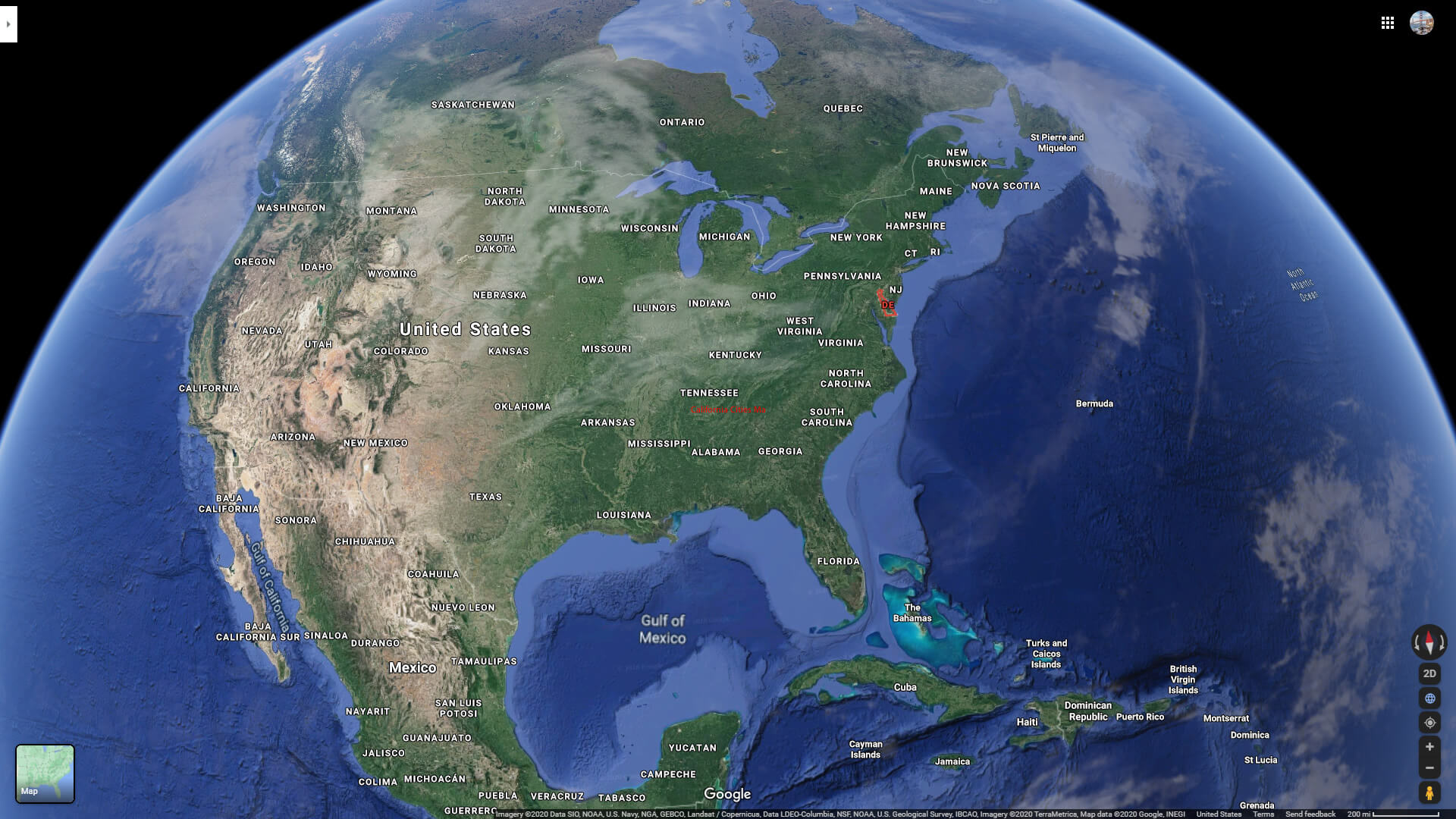
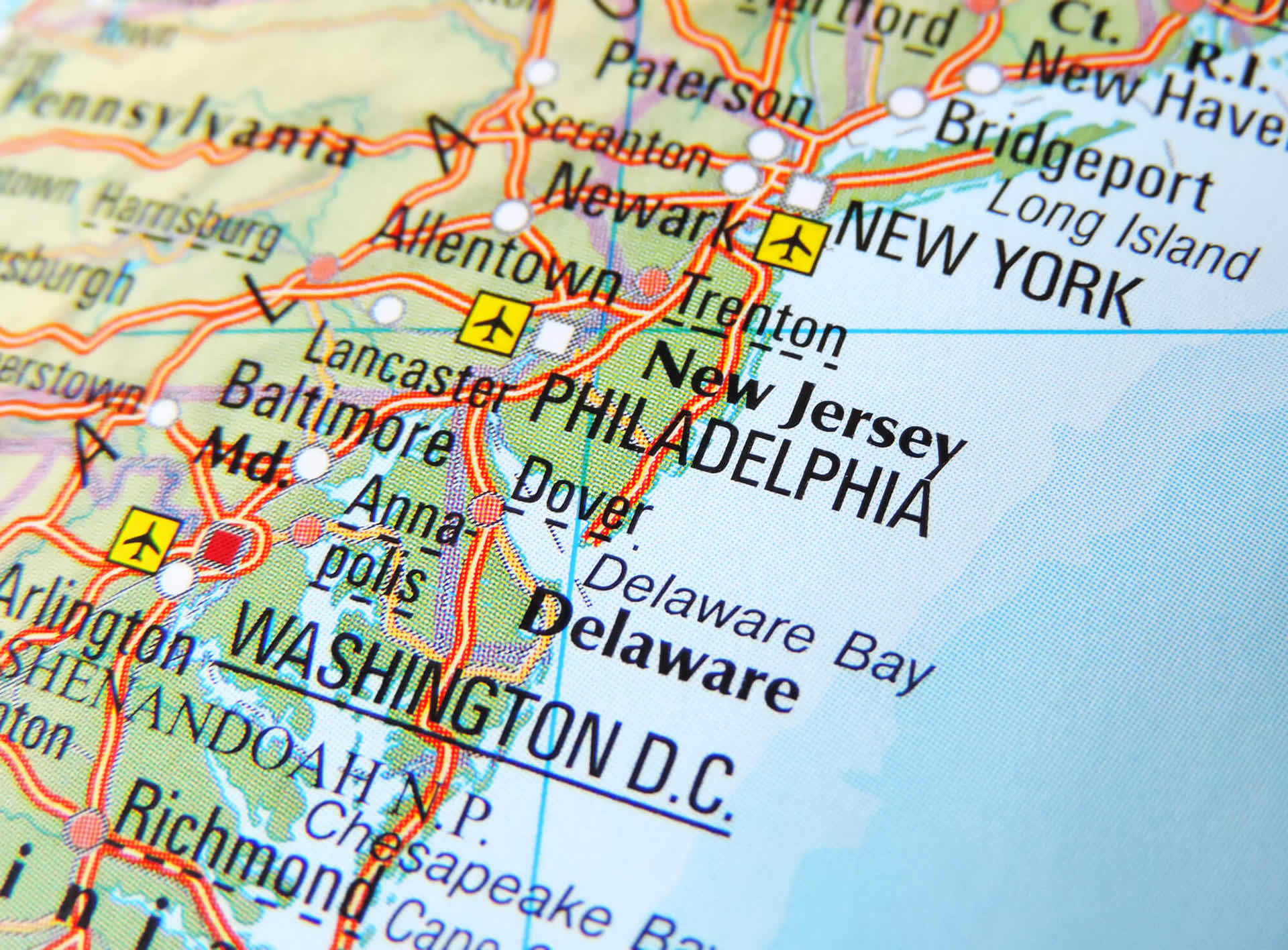
Delaware is a state located in the Mid-Atlantic region of the United States. It is the second smallest state in terms of land area and the sixth least populous state in the country. The state is bordered by Maryland to the south and west, Pennsylvania to the north, and New Jersey to the northeast. Delaware is known for its rich history, as it was the first state to ratify the United States Constitution in 1787. The state is also known for its beautiful beaches, charming small towns, and tax-free shopping. Its economy is largely driven by finance, healthcare, and education industries. Some of the top attractions in Delaware include the historic city of Wilmington, the Delaware beaches, and the charming town of Lewes.A Collection of Delaware Maps and Delaware Satellite Images
DELAWARE ADMINISTRATIVE MAP USA
DELAWARE ROAD MAP US
DELAWARE STATE MAP US
DELAWARE COUNTIES ROAD MAP USA
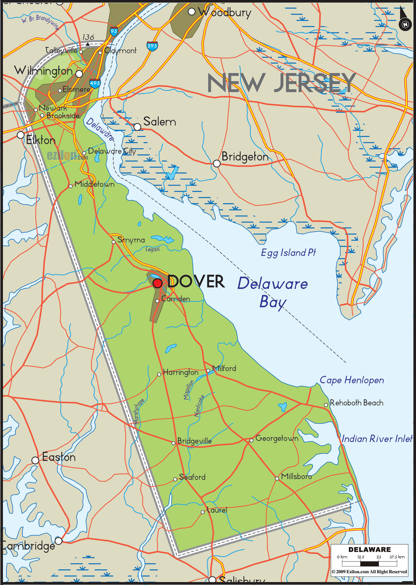
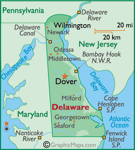
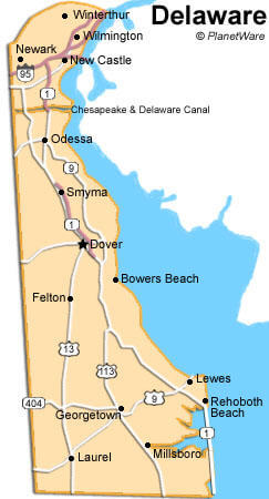
DELAWARE MAP DOVER
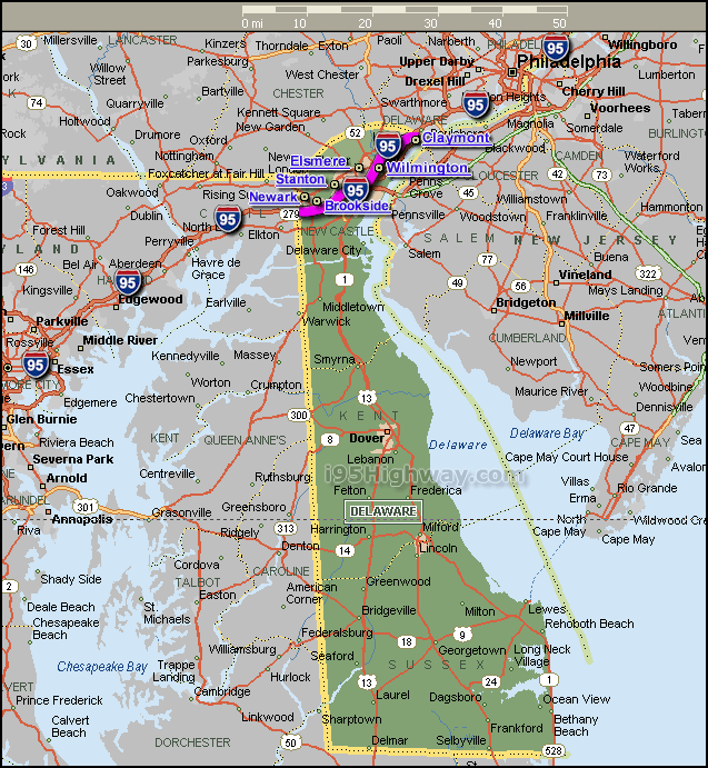
DELAWARE MAP INTERSTATE 95
DELAWARE MAP USA
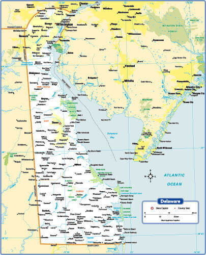
DELAWARE PHYSICAL MAP
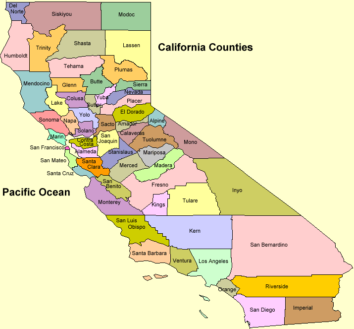
CALIFORNIA COUNTIES MAP
DELAWARE REFERENCE MAP
DELAWARE ROAD MAP
DELAWARE MAP
MAP OF DELAWARE
COLORFUL MAP OF DELAWARE US
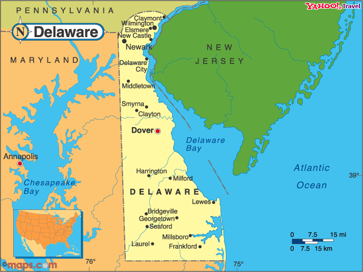
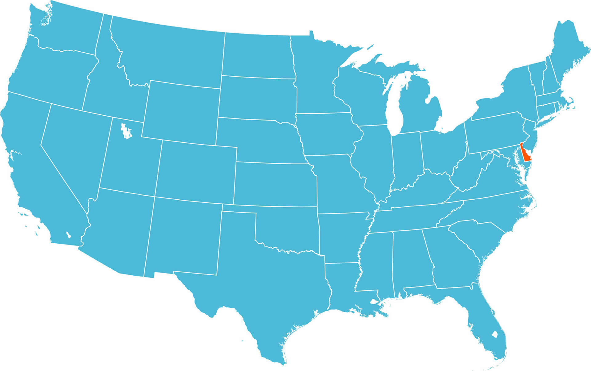
DELAWARE LOCATION MAP US
DELAWARE LOCATION MAP USA
DELAWARE MAP NORTH AMERICA
DELAWARE MAP OF THE EAST COAST OF THE USA
DELAWARE ON UNFOLDED MAP
DELAWARE POLITICAL MAP US
DELAWARE SATELITE MAP USA
DELAWARE STATE LOCATION MAP
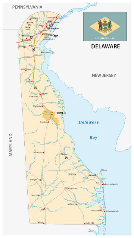
DELAWARE STATE MAP
DELAWARE CITIES MAP
DELAWARE MAP

DELAWARE POLITICAL MAP
DELAWARE STATE MAP
MAP OF DELAWARE

ROAD MAP OF THE US STATE DELAWARE WITH FLAG
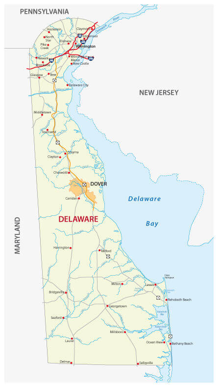
ROAD MAP OF THE US STATE DELAWARE
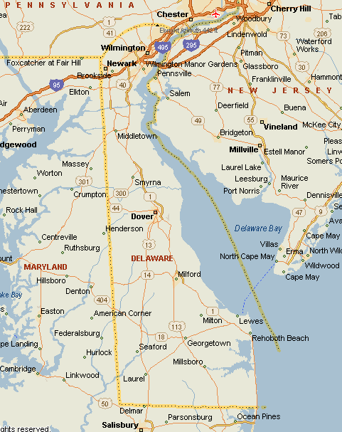
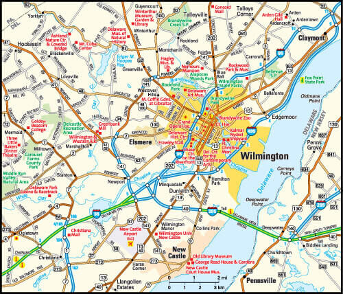
WILMINGTON DELAWARE AREA MAP
Delaware State Maps, United States of America
- Head of Performance Marketing
- Head of SEO
- Linkedin Profile: linkedin.com/in/arifcagrici
Largest Cities Map of Delaware and Population
Wilmington Map - 70,851 Dover Map - 36,047 Newark Map - 31,454 Bear Map - 19,371 Middletown Map - 18,871 Brookside Map - 14,353 Glasgow Map - 14,303 Hockessin Map - 13,527 Pike Creek Valley Map - 11,217 Smyrna Map - 10,023 Milford Map - 9,559 Claymont Map - 8,253 North Star Map - 7,980 Pike Creek Map - 7,898 Wilmington Manor Map - 7,889
Addresse: Hakarinne 2 Espoo, Uusimaa - Finland 02210
Web: istanbul-city-guide.com
Email: [email protected]
Web: istanbul-city-guide.com
Email: [email protected]
Copyright istanbul-city-guide.com - 2004 - 2026. All rights reserved. Privacy Policy | Disclaimer