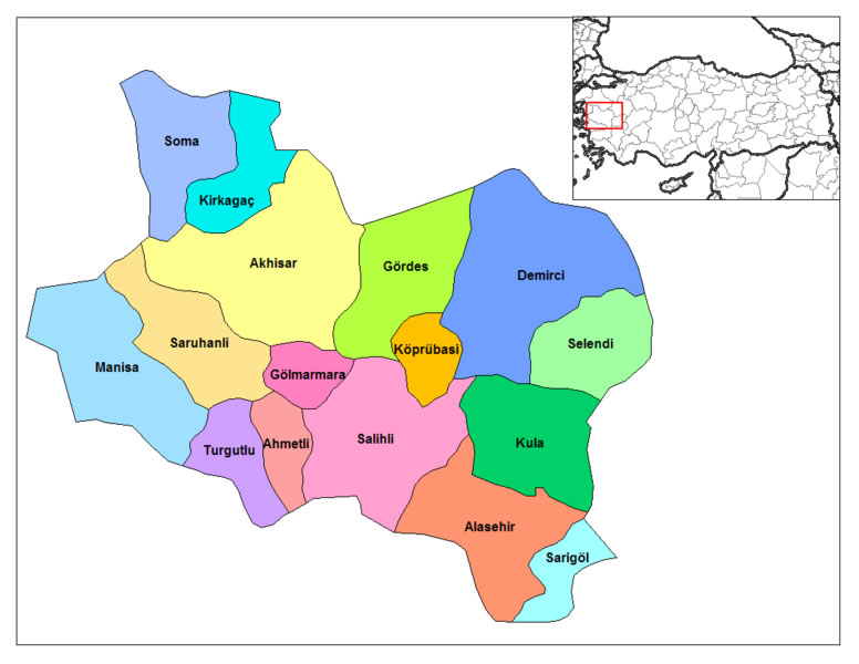
Map of Salihli, Turkey
Navigate Salihli map, Salihli country map, satellite images of Salihli, Salihli largest cities, towns maps, political map of Salihli, driving directions, physical, atlas and traffic maps in Turkey.
Salihli District Maps
- Head of Performance Marketing
- Head of SEO
- Linkedin Profile: linkedin.com/in/arifcagrici
See Also
Salihli Google Map, Street Views, Maps Directions, Satellite Images
istanbul-city-guide.com offers a collection of Salihli map, google map, Salihli atlas, political, physical, satellite view, country infos, cities map and more map of Salihli.
Turkey Largest Cities Map by Population
Adana Map Adiyaman Map Afyon Map Agri Map Aksaray Map Amasya Map Ankara Map Antalya Map Van Map Yalova Map Yozgat Map Zonguldak Map North Cyprus Map Mersin Map Izmit Map Antakya Map Adapazari Map Karabuk Map Karaman Map Kars Map
Addresse: Hakarinne 2 Espoo, Uusimaa - Finland 02210
Web: istanbul-city-guide.com
Email: [email protected]
Web: istanbul-city-guide.com
Email: [email protected]
Copyright istanbul-city-guide.com - 2004 - 2026. All rights reserved. Privacy Policy | Disclaimer