Africa Maps
Explore Africa maps, Africa countries map, satellite images of the Africa, Africa's largest cities maps, political map of Africa, driving directions and more maps.
For more about Africa Map >>
For more about Africa Satellite Map >>
For more about Map of Africa >>
Africa Map & Africa Satellite Images
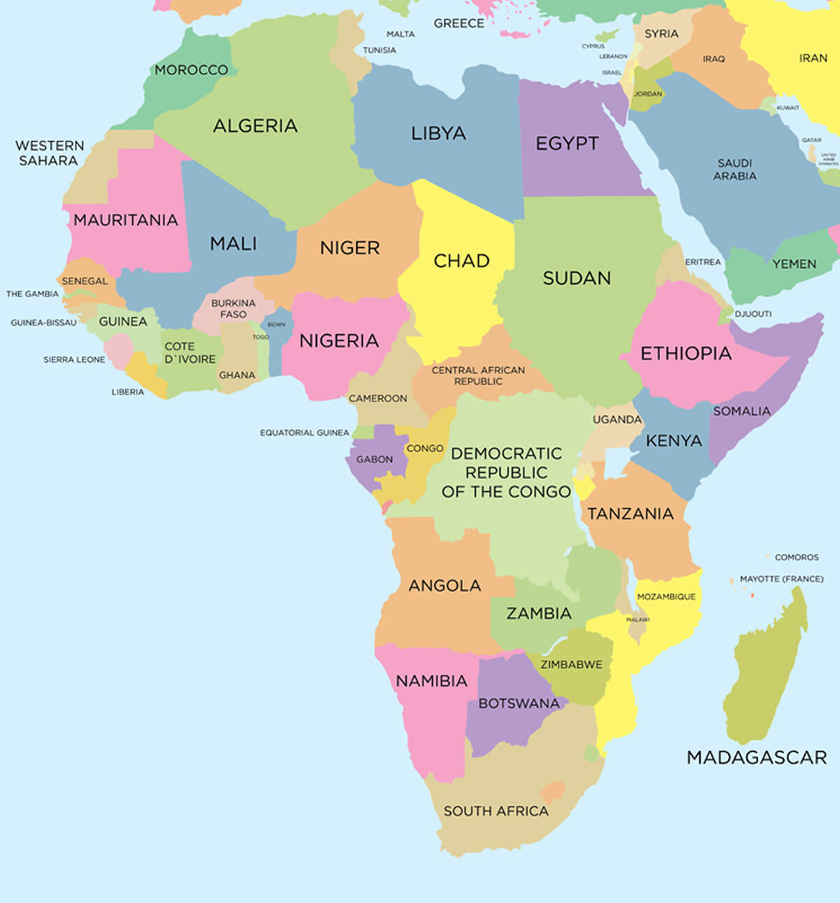
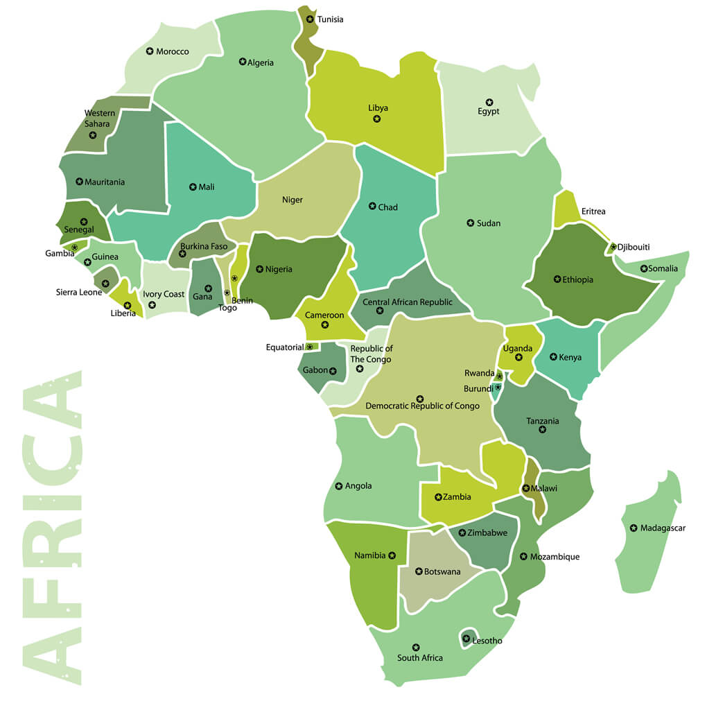
Coloured Political Map of Africa
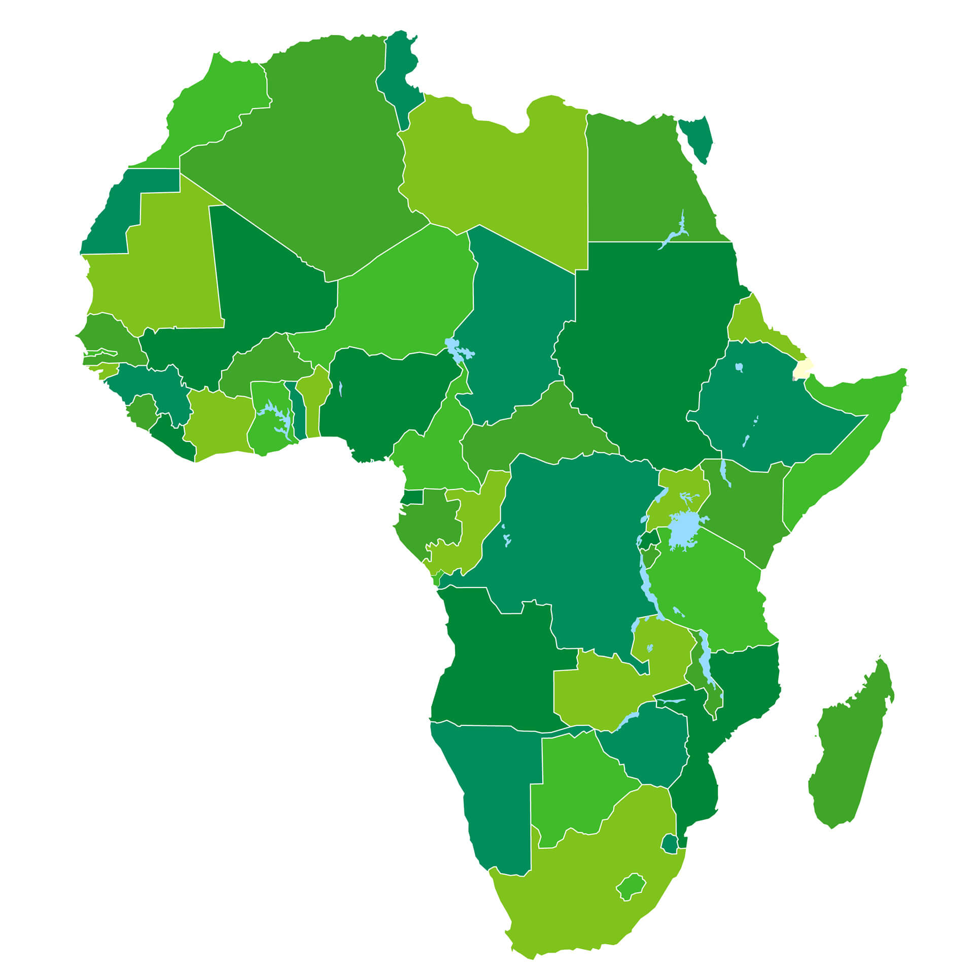
Africa Blank Map
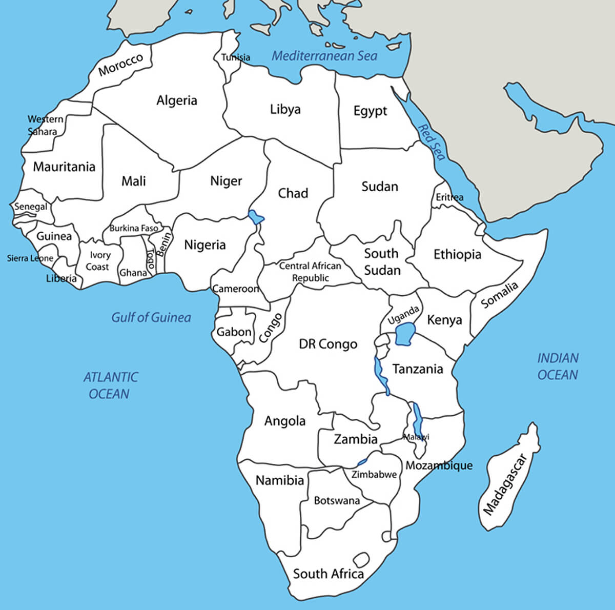
Africa Vector Map in White Color
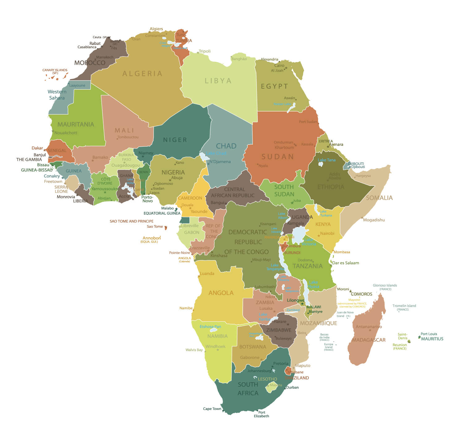
Detailed Africa Map
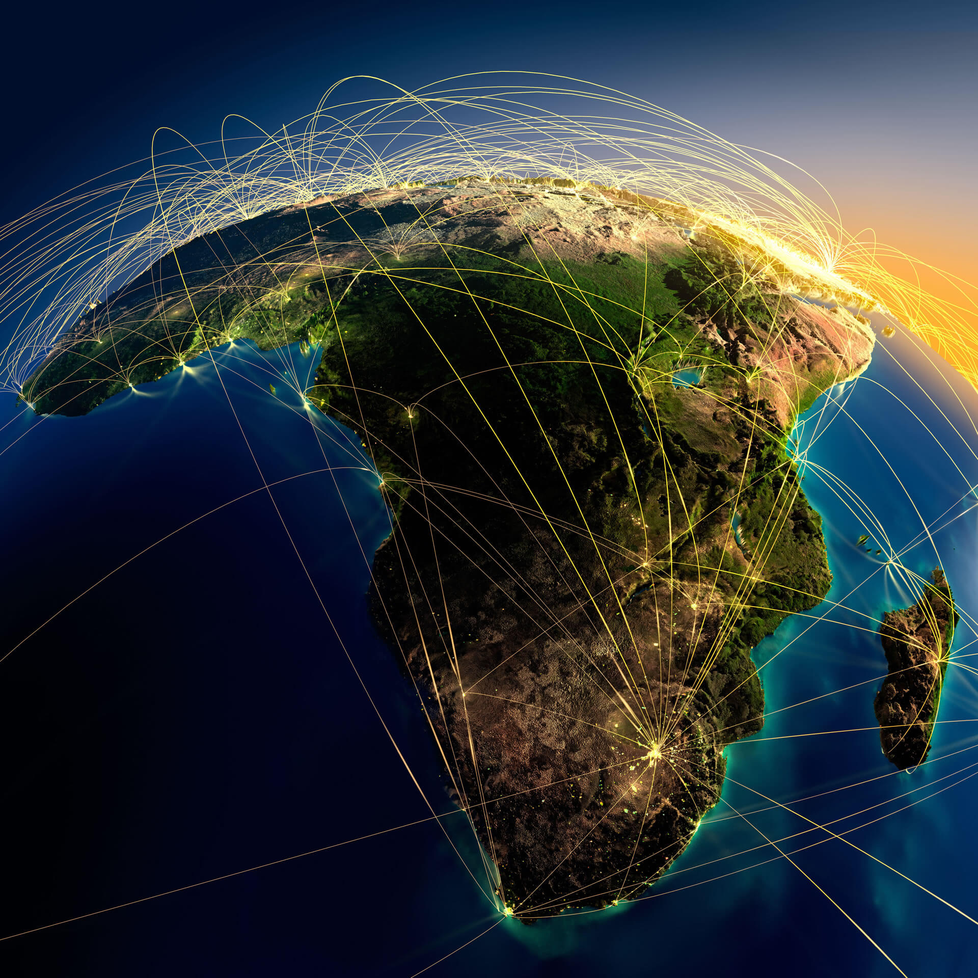
Africa World Air Routes Map
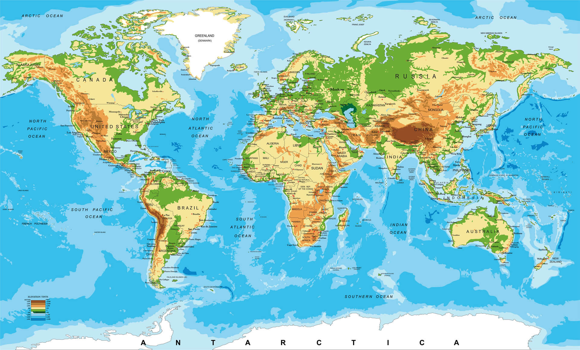
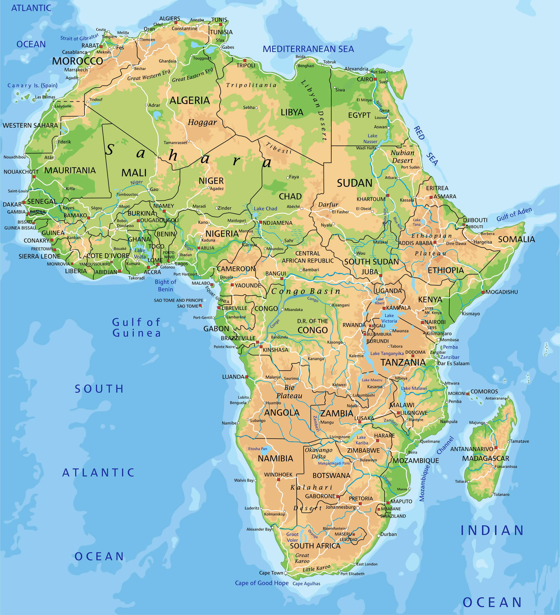
Africa Physical Map and The World
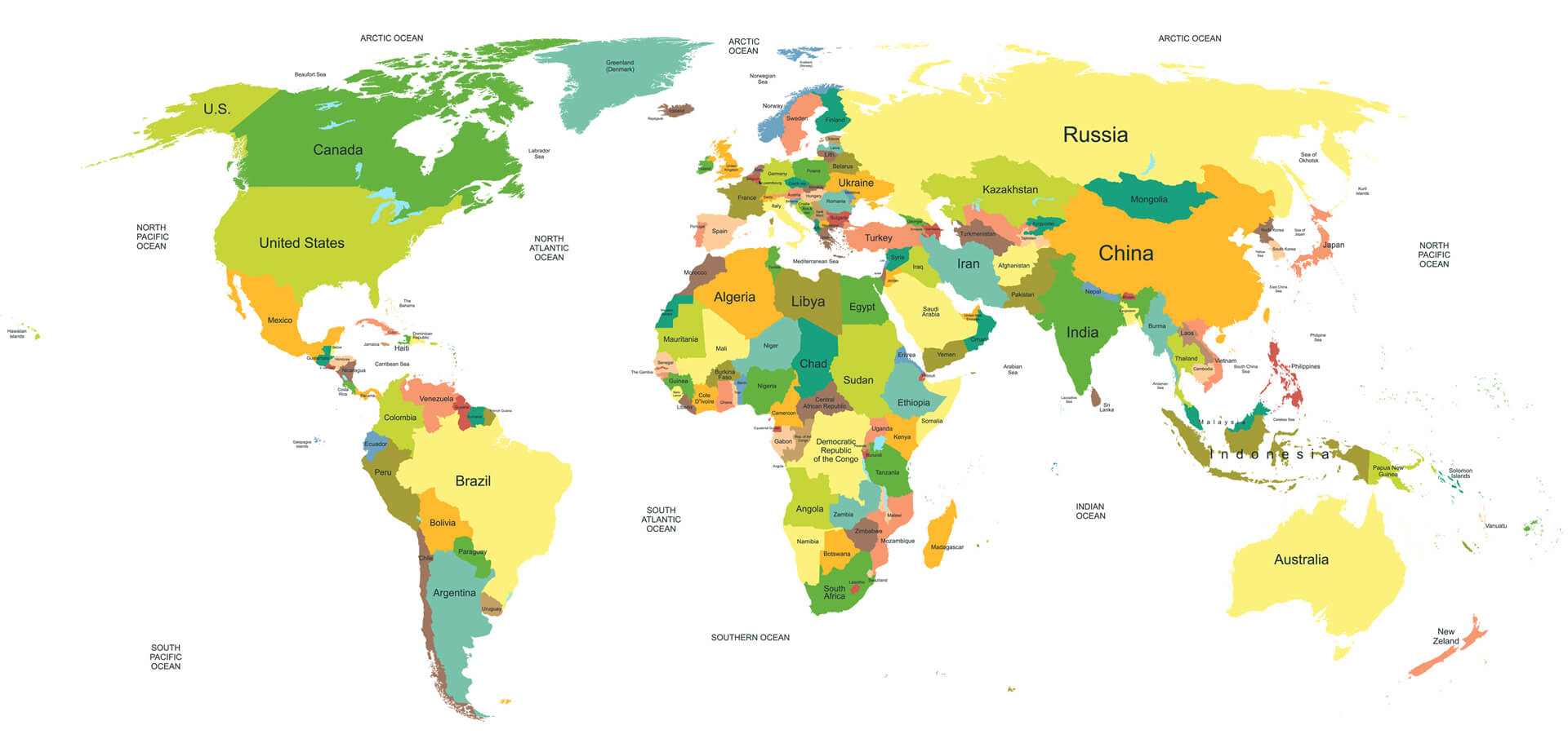
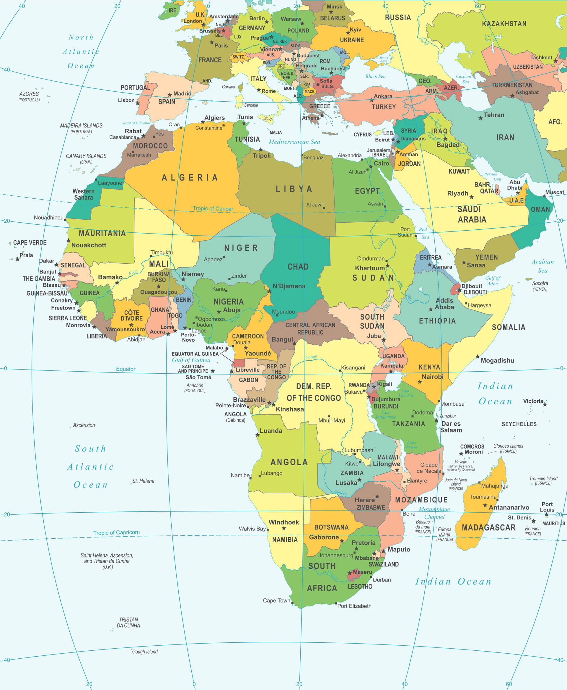
Africa and The World Countries Political Map
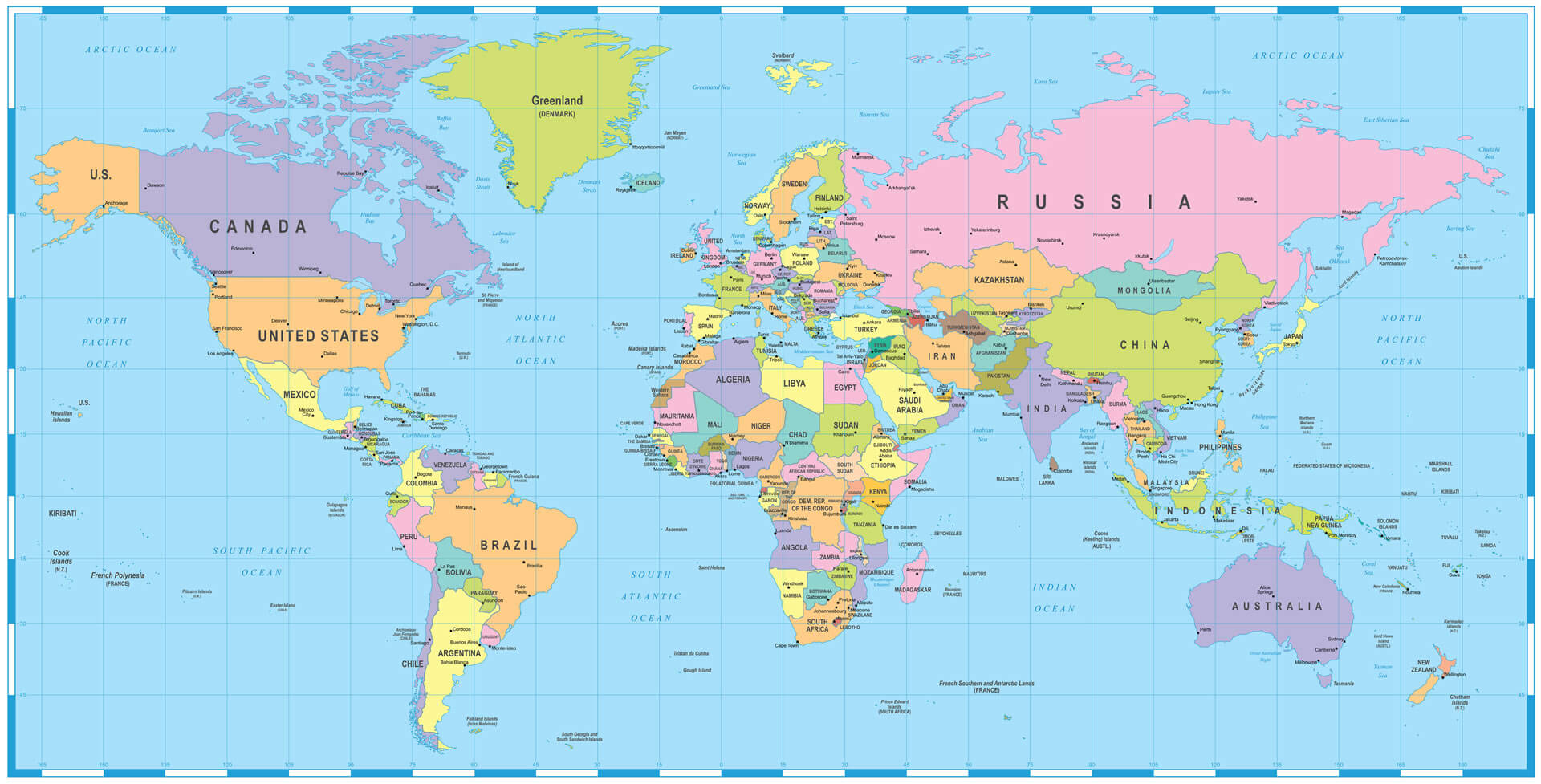
Colored World Map and Africa
High Detailed Africa Physical Map
Africa Vector Map with Countries Border
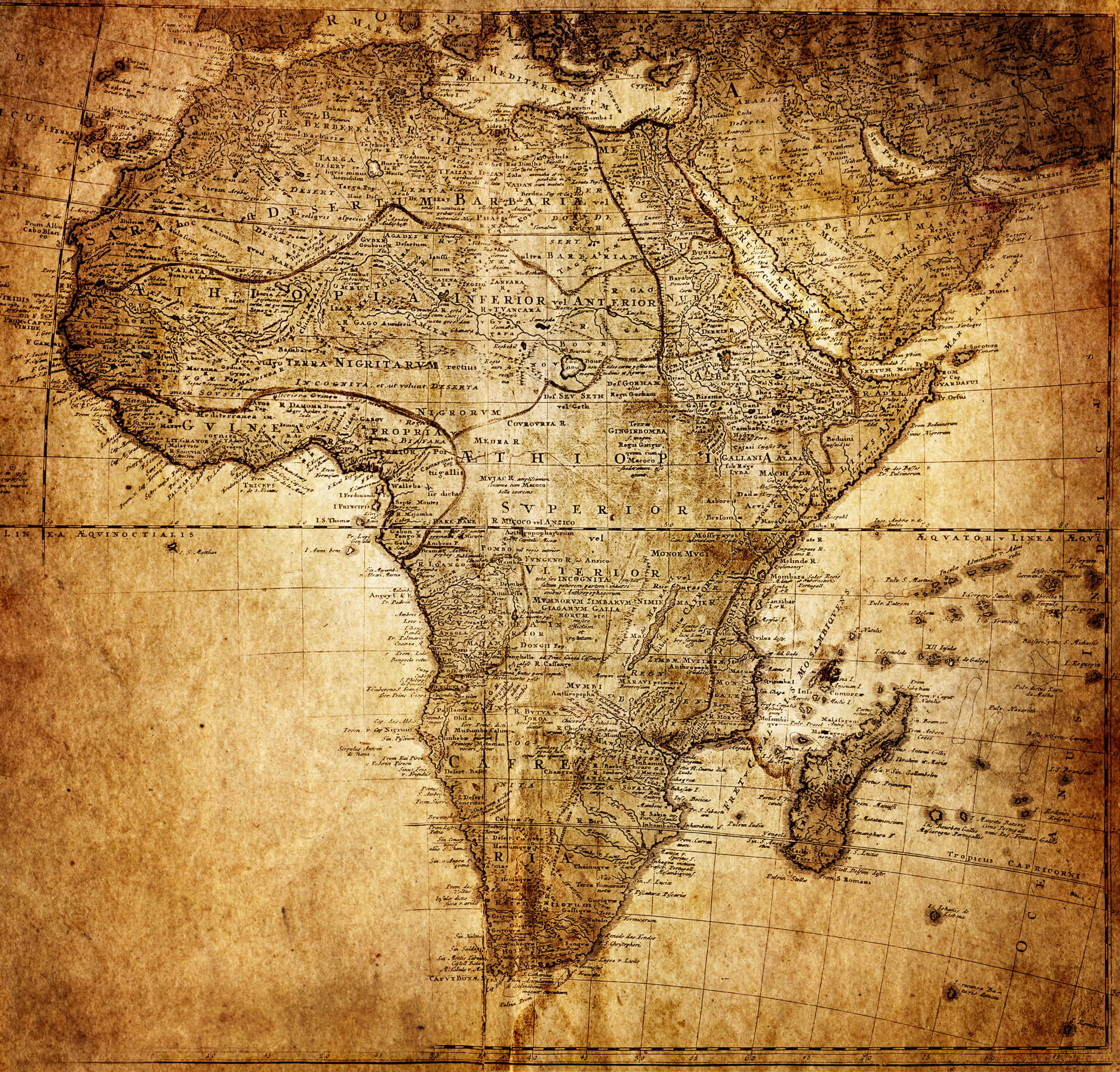
Vintage Map of Africa in 1737
Africa Map with Countries Political Borders
Algeria Map and Africa

Africa Google Map, Street Views, Maps Directions, Satellite Images
Please Not : You can find local businesses, public places, tourist attractions via map view, satellite image, hybrid view, driving directions in Africa Map. You'll also find a varity map of Africa such as political, administrative, transportation, demographics maps following Google map.
Submit URL to Africa :
Alphabetically Cities Map of Africa & Population of Africa Cities
Addresse: Hakarinne 2 Espoo, Uusimaa - Finland 02210
Web: istanbul-city-guide.com
Email: [email protected]
Web: istanbul-city-guide.com
Email: [email protected]
Copyright istanbul-city-guide.com - 2004 - 2026. All rights reserved. Privacy Policy | Disclaimer