Iraq Map and Iraq Satellite Images
Explore map of Iraq, Iraq map, cities map of Iraq, satellite images of Iraq, Iraq largest cities maps, political map of Iraq, driving directions, country atlas and traffic map.
Iraq Map FQA
How many cities are in Iraq ?
Iraq has around 120 cities. The 10 largest are: Baghdad, Basra, Mosul, Erbil, Kirkuk, Najaf, Karbala, Sulaymaniyah, Nasiriyah, and Amarah.What are the major geographical features of Iraq ?
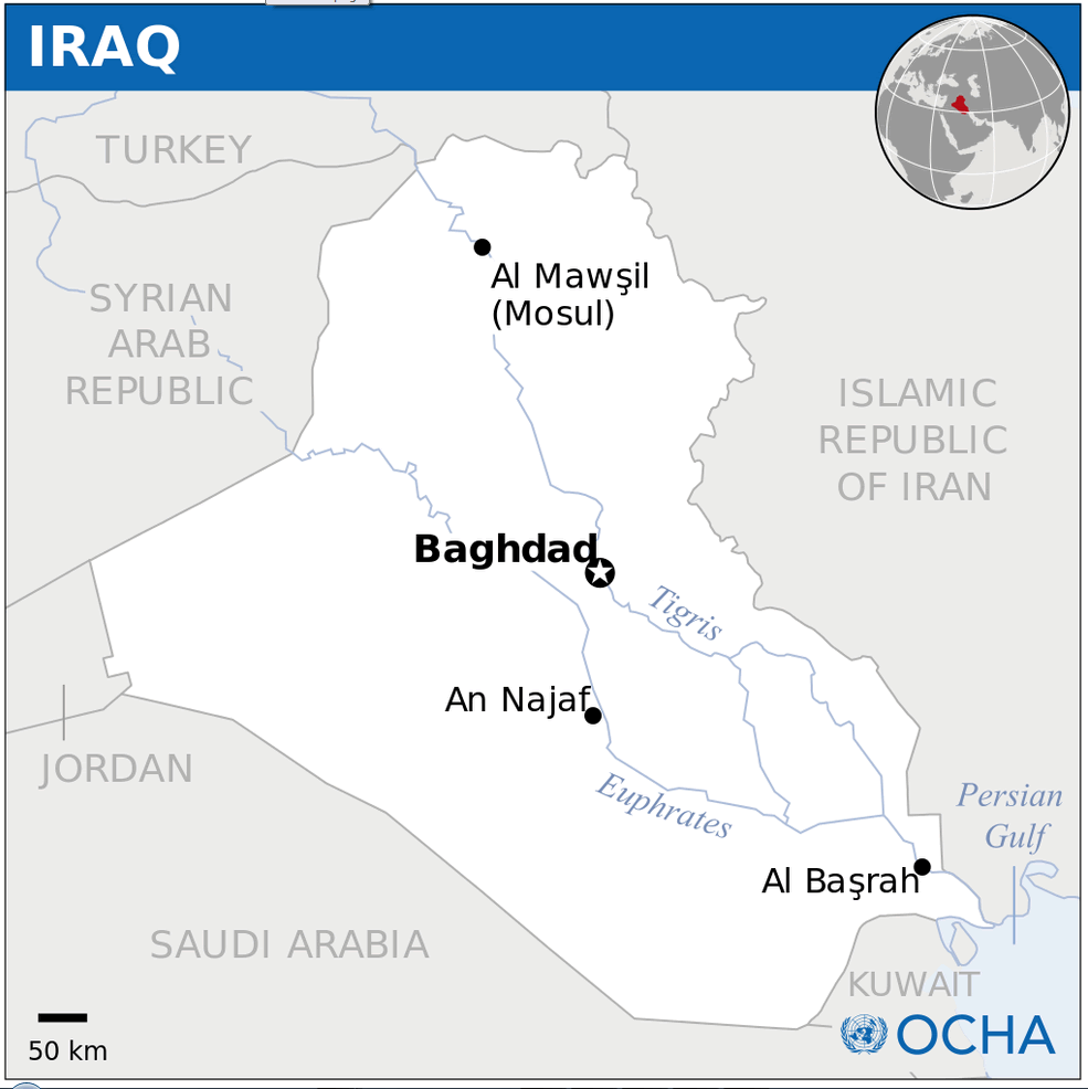
Iraq is mostly desert but also has fertile river plains formed by the Tigris and Euphrates rivers. It features the Zagros Mountains in the northeast and marshlands in the south.WHERE IS IRAQ IN THE WORLD
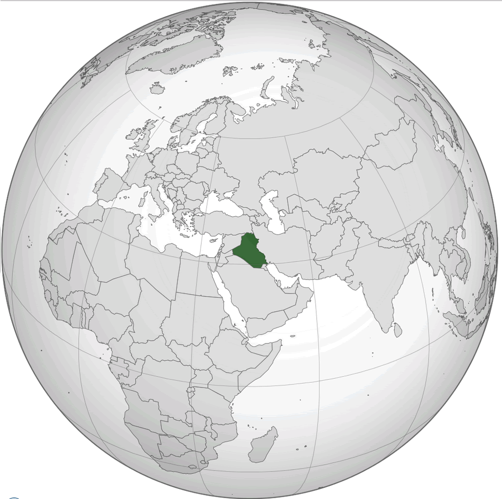
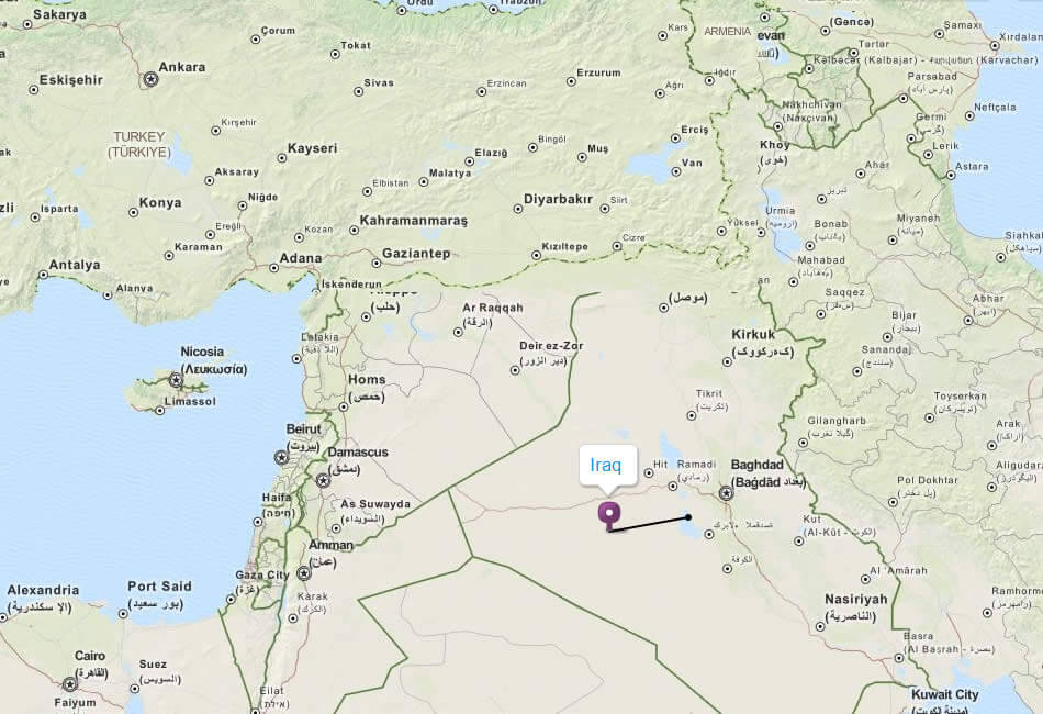
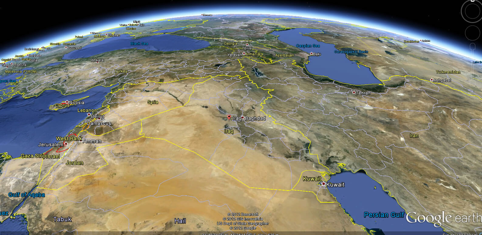
IRAQ LOCATION MAP
WHERE IS IRAQ IN THE WORLD
Can I download a high-resolution map of Iraq ?
Yes. Download high-resolution political and physical maps of Iraq for personal or educational use. Redistribution is subject to the terms of our license.
- Capital : Baghdad
- Population : 31,129,225
- GDP : $144.214 billion (62nd)
- Per Capita : $4,288 (110th)
- Calling Code : +964
- Jobless Rate : 23.00%
- Time Zone : +3
For more about Iraq >>
A Collection of Iraq Maps and Iraq Satellite Images
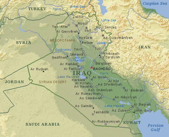
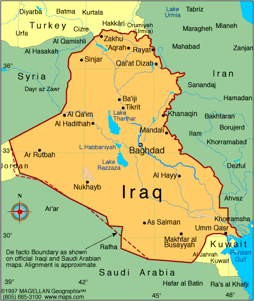
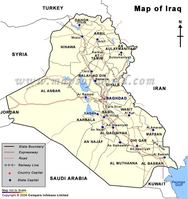
MAP OF IRAQ

IRAQ LOCATION MAP
WHERE IS IRAQ IN THE WORLD
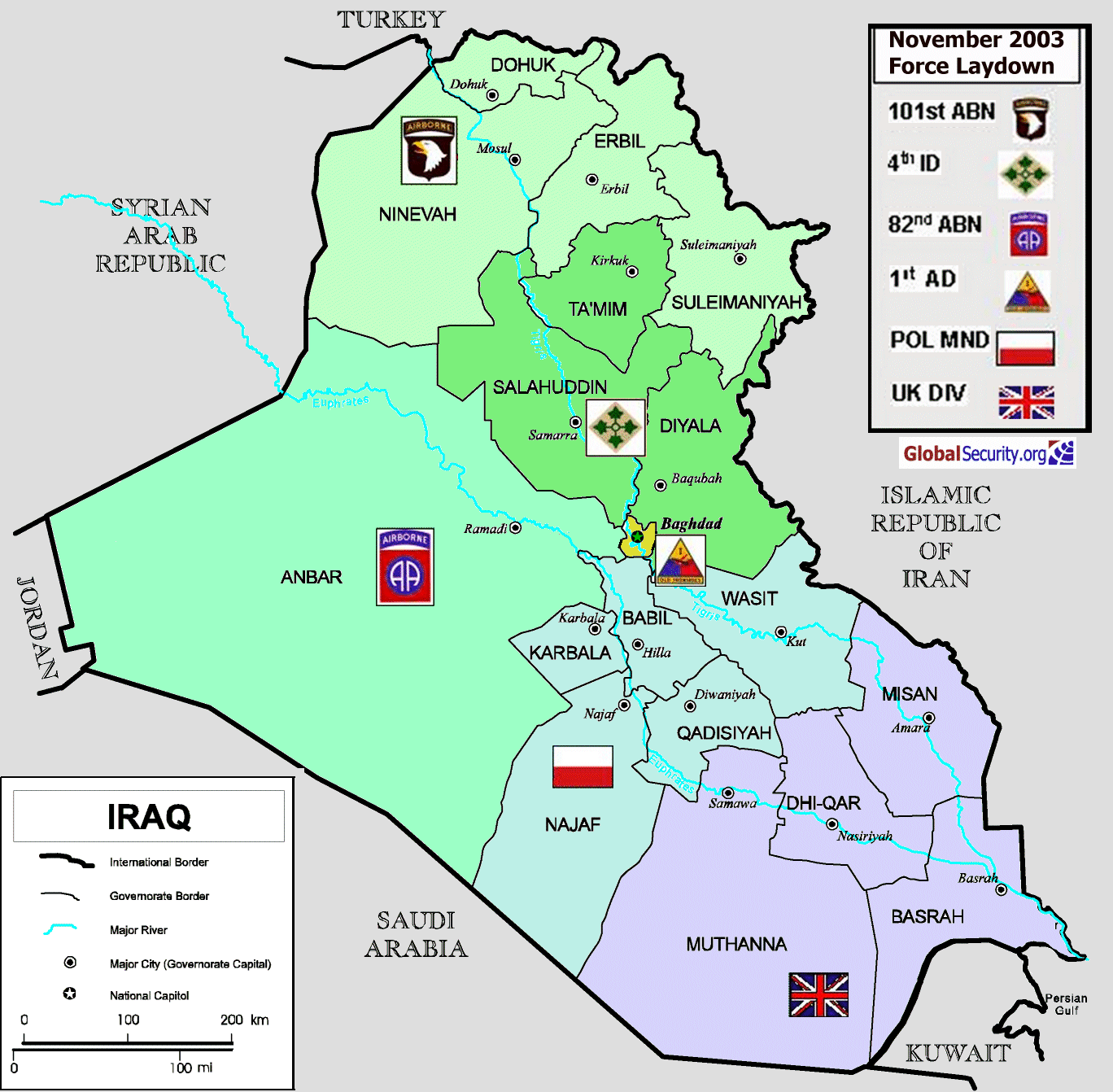
IRAQ MAP CITIES
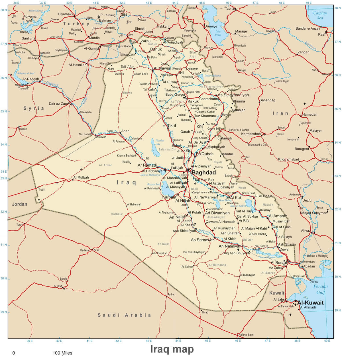
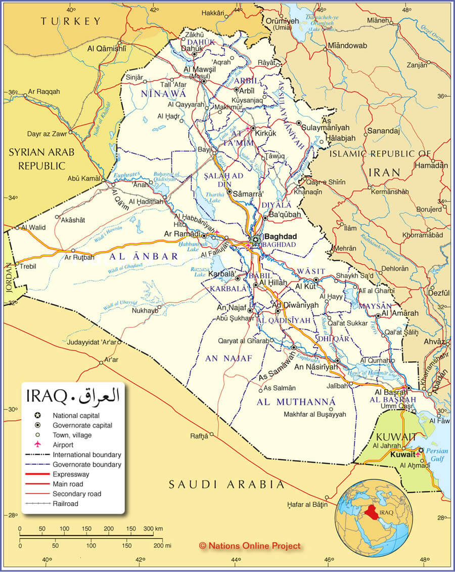
IRAQ MAP
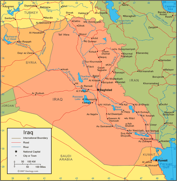
IRAQ MAP
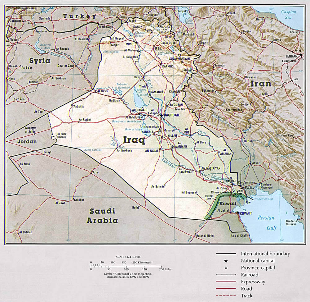
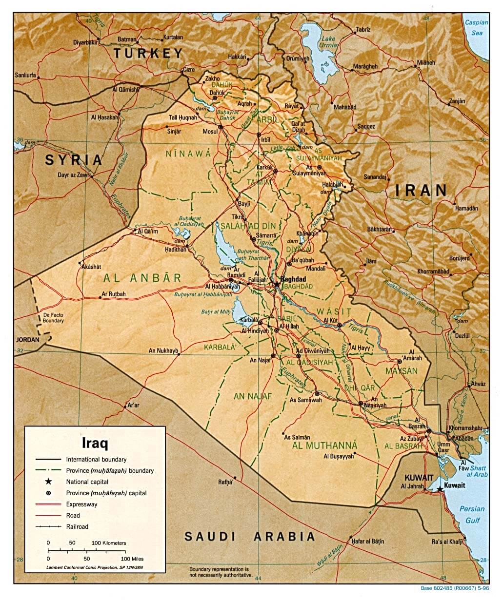
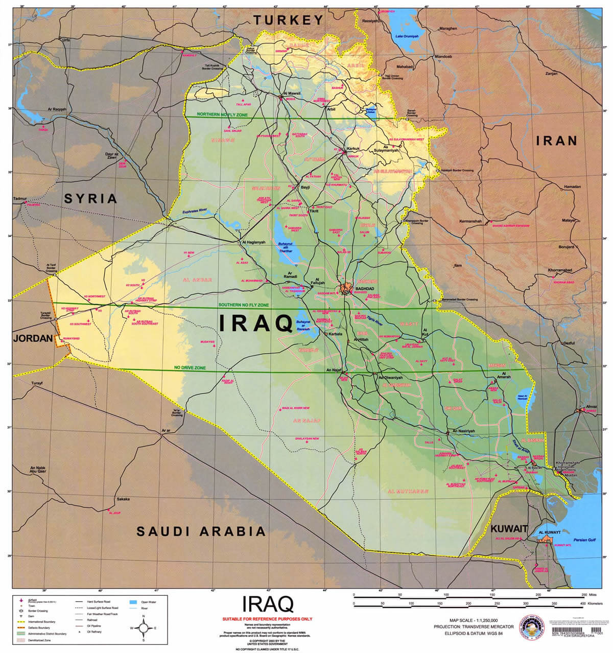
IRAQ PHYSICAL MAP
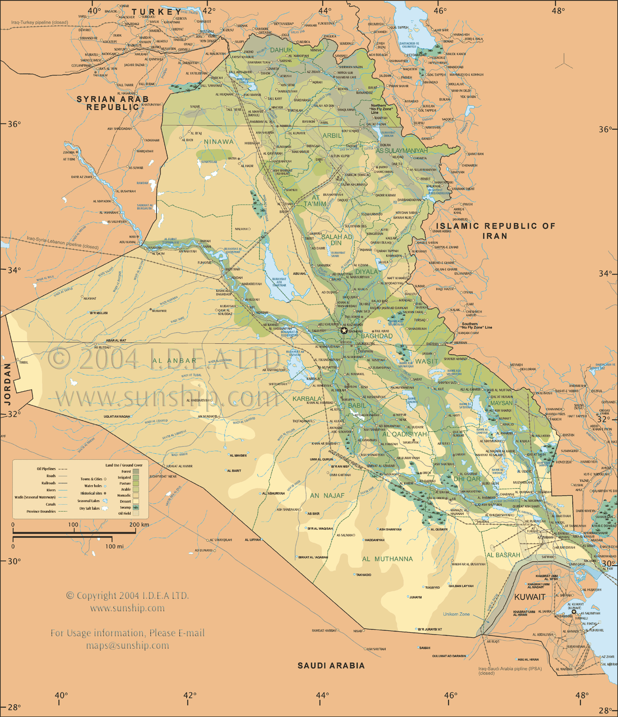
IRAQ PHYSICAL MAP
IRAQ PHYSICAL MAP L

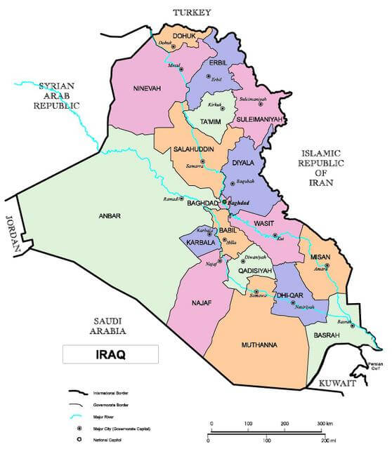
IRAQ POLITICAL MAP
IRAQ CANTON MAP

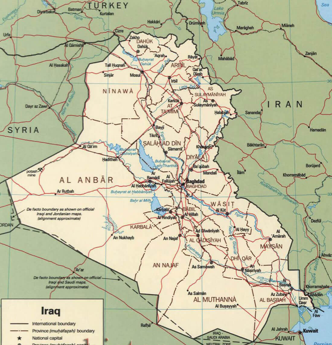
IRAQ CIA MAP
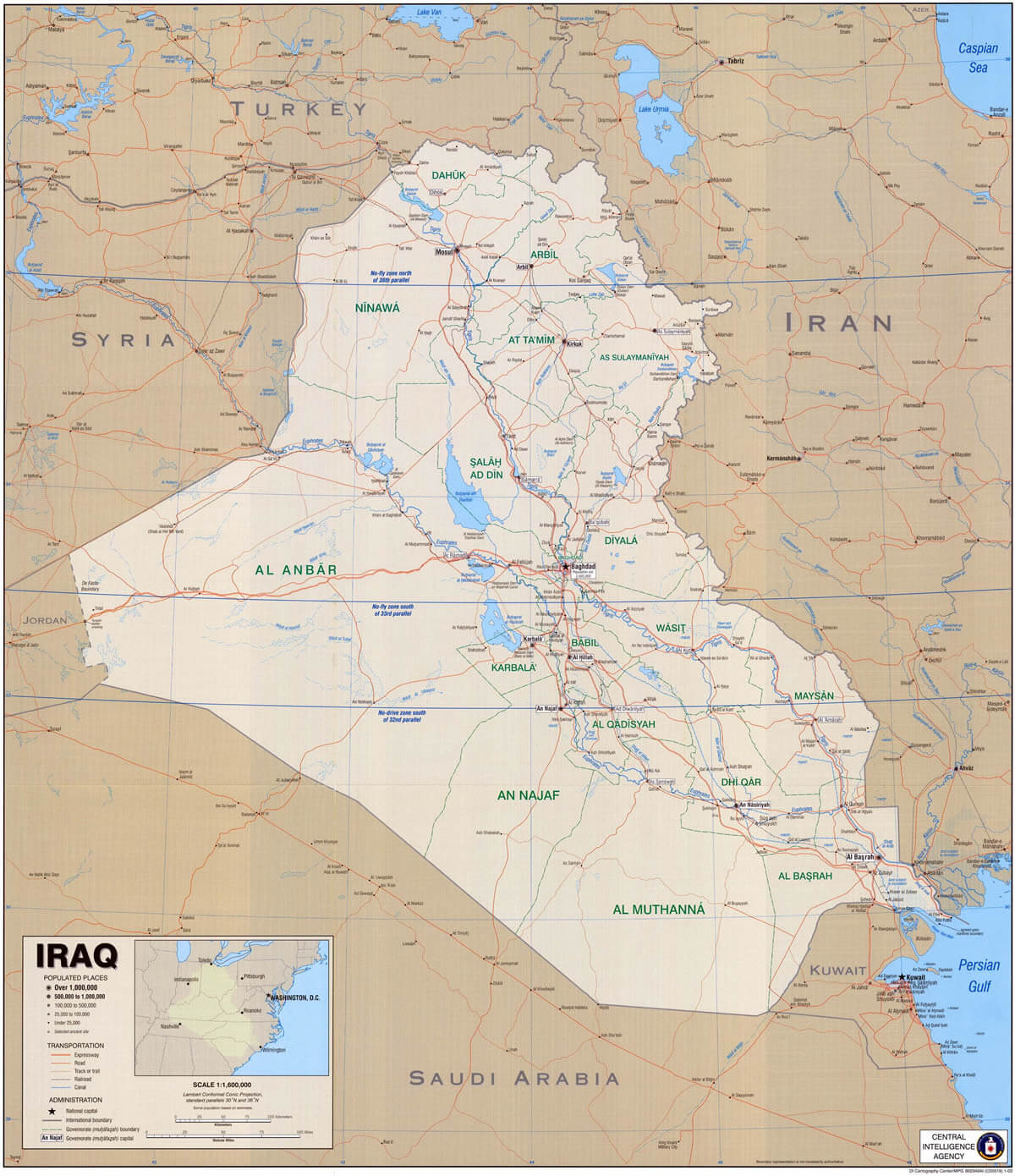
IRAQ CIA MAP B

IRAQ CITIES MAP
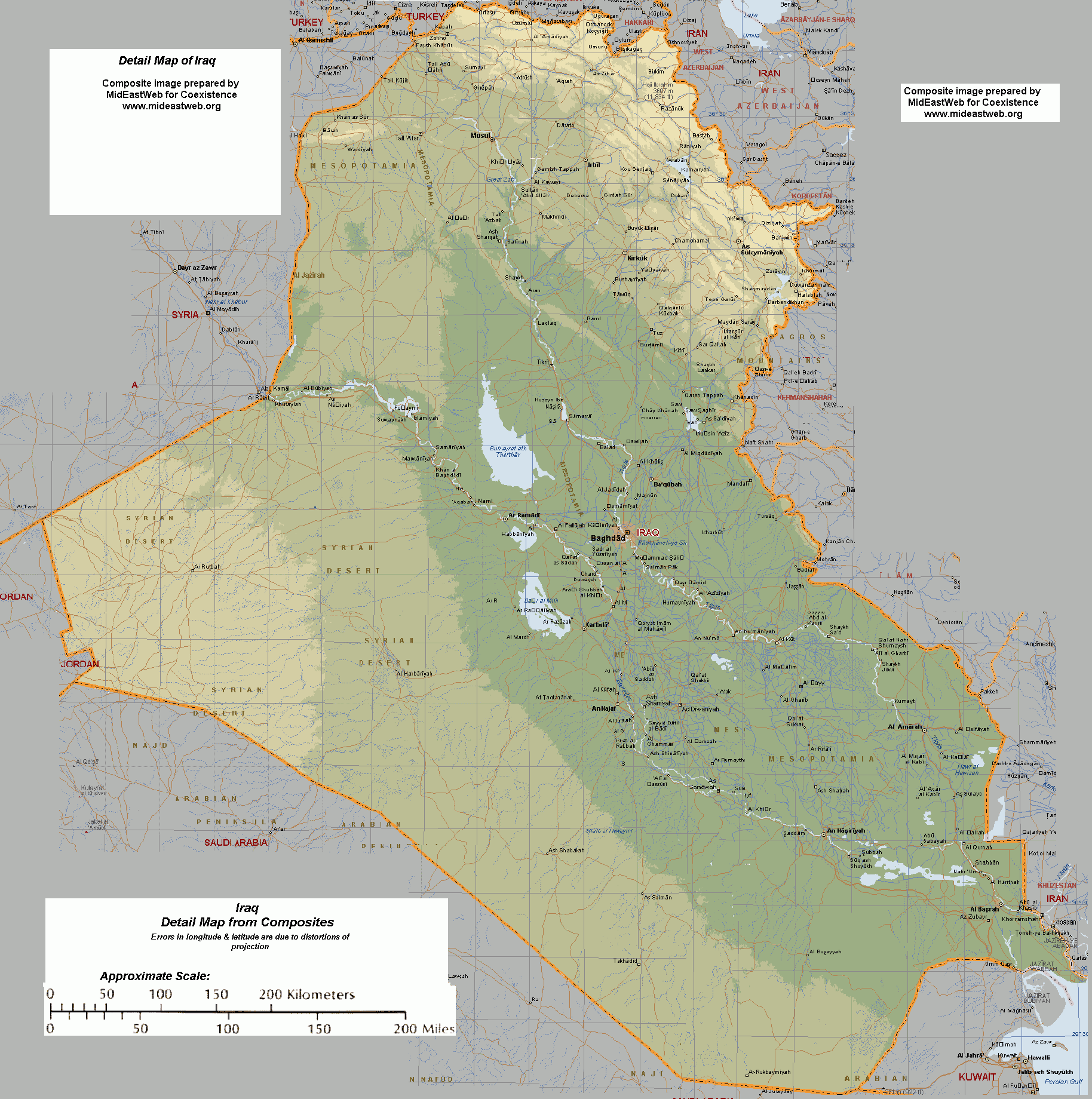
IRAQ DETAILED MAP
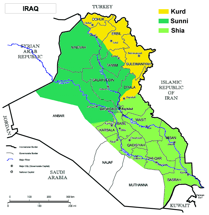
IRAQ GROUPS MAP
IRAQ MAP
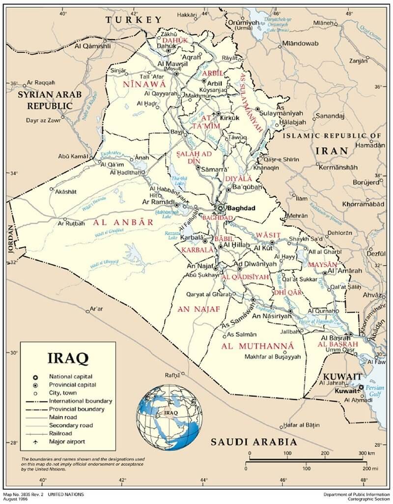
IRAQ MAP 1996
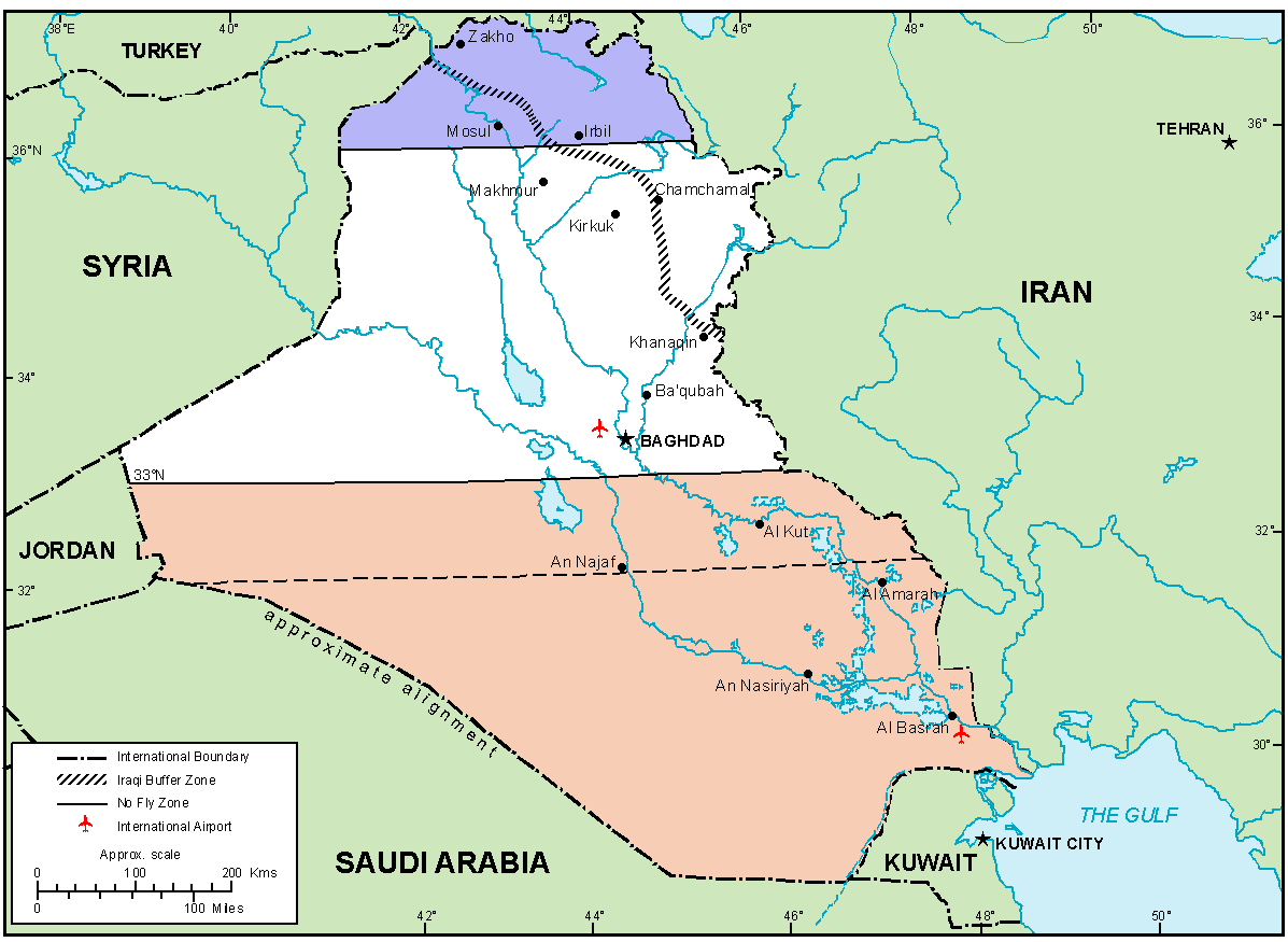
IRAQ MAP NOFLY ZONE
IRAQ MAPS
IRAQ PHYSICAL MAP
IRAQ POLITICAL MAP
IRAQ RELIEF MAP
IRAQ WAR MAP
MAP OF IRAQ
MAP OF IRAQ
PHYSICAL MAP OF IRAQ
IRAQ EARTH MAP
Largest Cities' Map of Iraq
Baghdad Map Karbala Map Amarah Map Baqubah Map Basra Map Najaf Map Mosul Map Sulaymaniyah Map Arbil Map Kirkuk Map Tikrit Map Ramadi Map
Addresse: Hakarinne 2 Espoo, Uusimaa - Finland 02210
Web: istanbul-city-guide.com
Email: [email protected]
Web: istanbul-city-guide.com
Email: [email protected]
Copyright istanbul-city-guide.com - 2004 - 2026. All rights reserved. Privacy Policy | Disclaimer