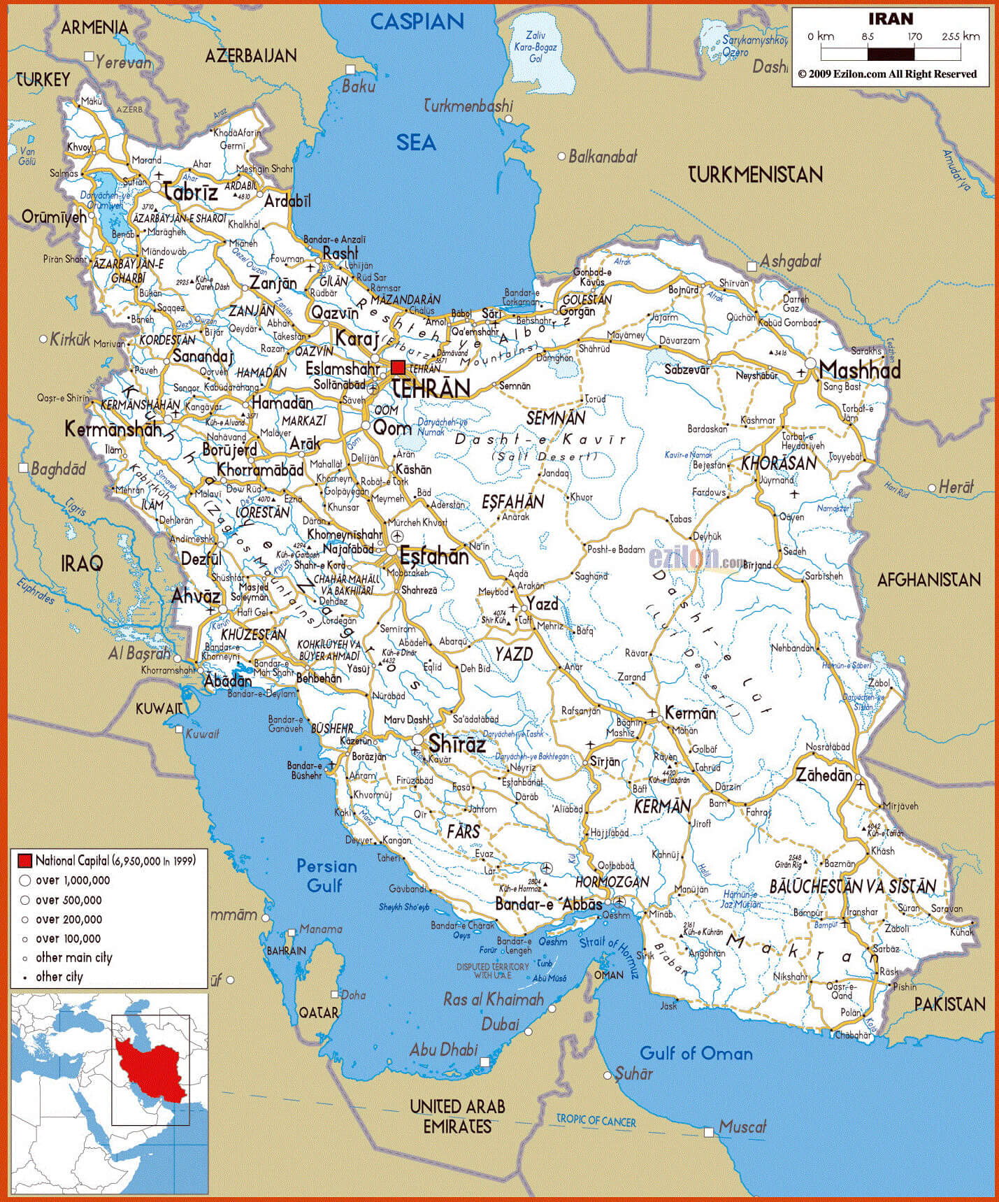
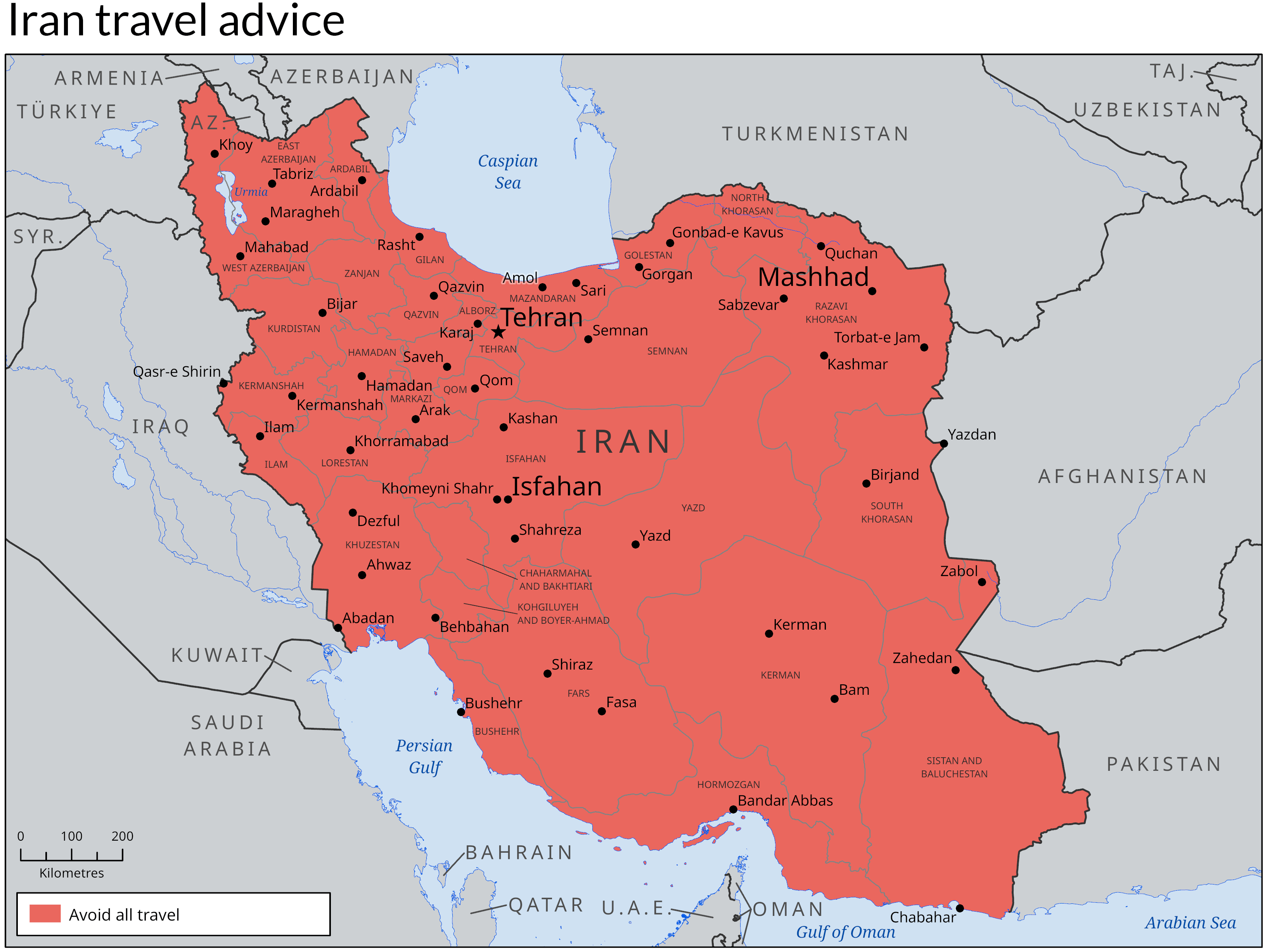
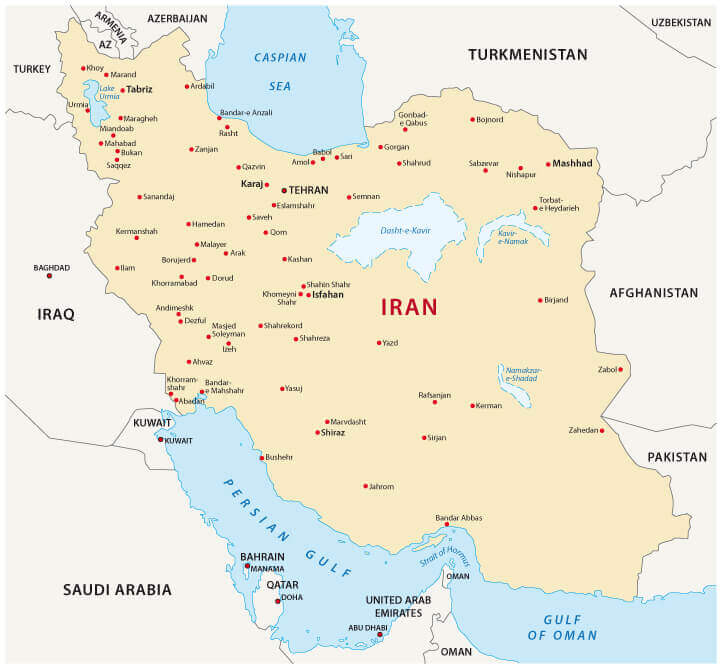
Comprehensive Iran Map with Cities and Roads
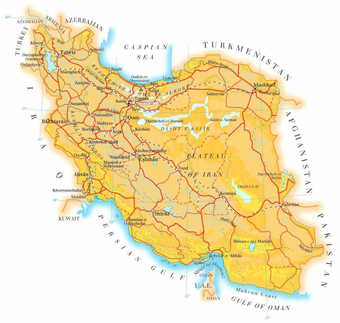
Explore a detailed Iran Cities Map showcasing major urban centers, provincial capitals, and key regional hubs across the country. This map highlights important cities such as Tehran, Mashhad, Isfahan, Shiraz, and Tabriz, along with transportation routes and geographic context. Ideal for education, research, and travel planning, it provides a clear overview of Iran's urban distribution and administrative structure.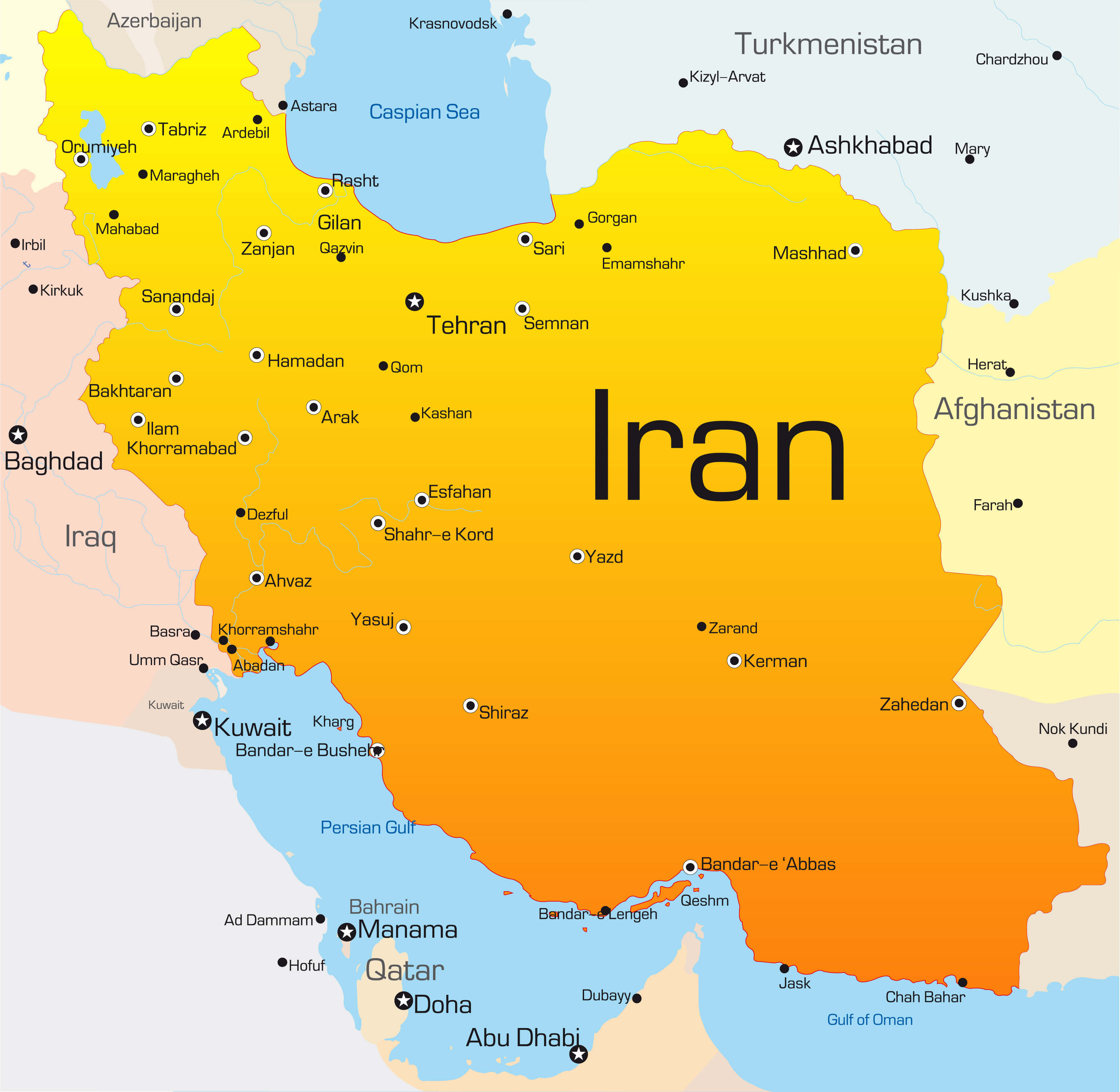
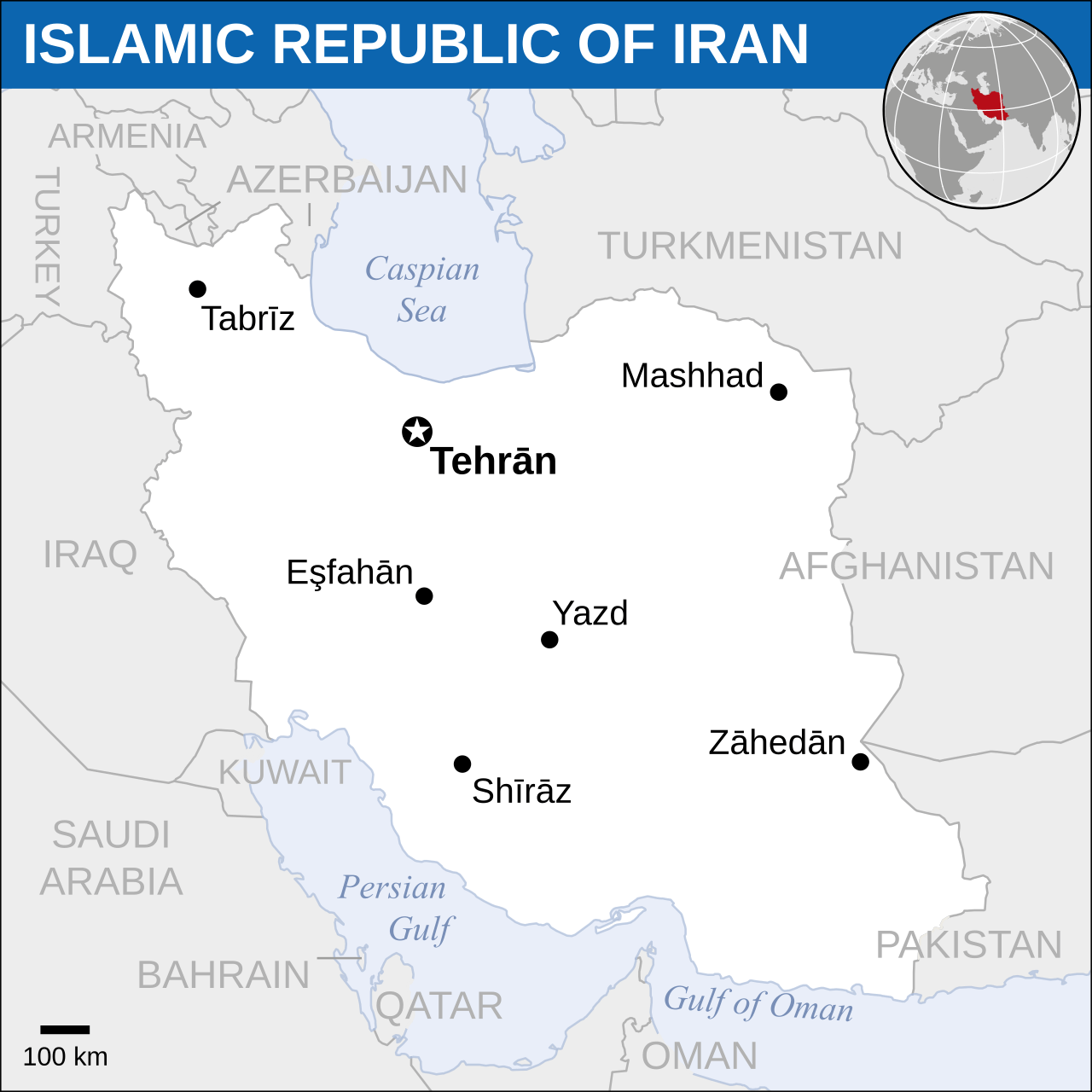
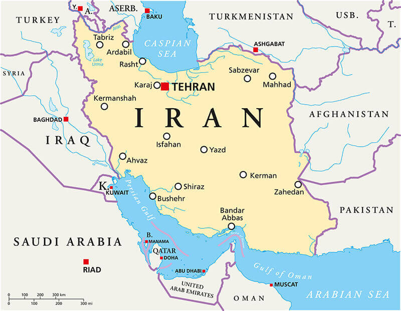
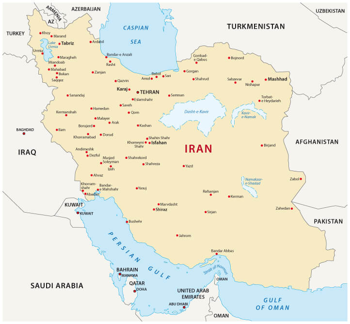
Iran Location Map with Major Cities and Neighboring Countries
Iran main cities map
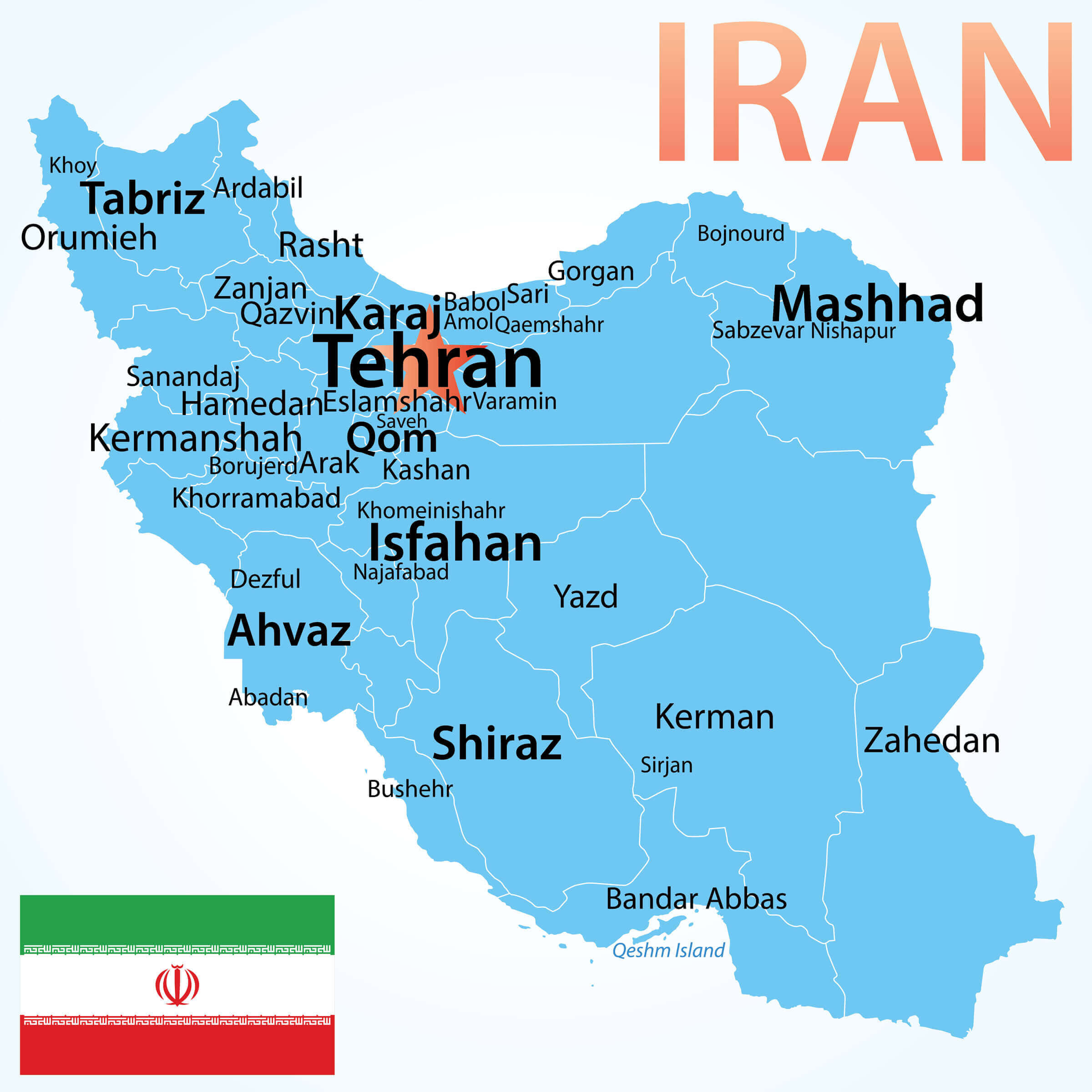
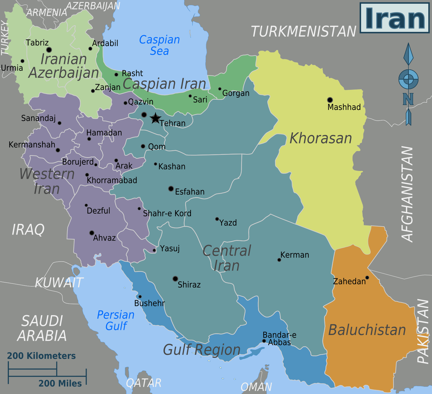
Iran regions map with largest cities
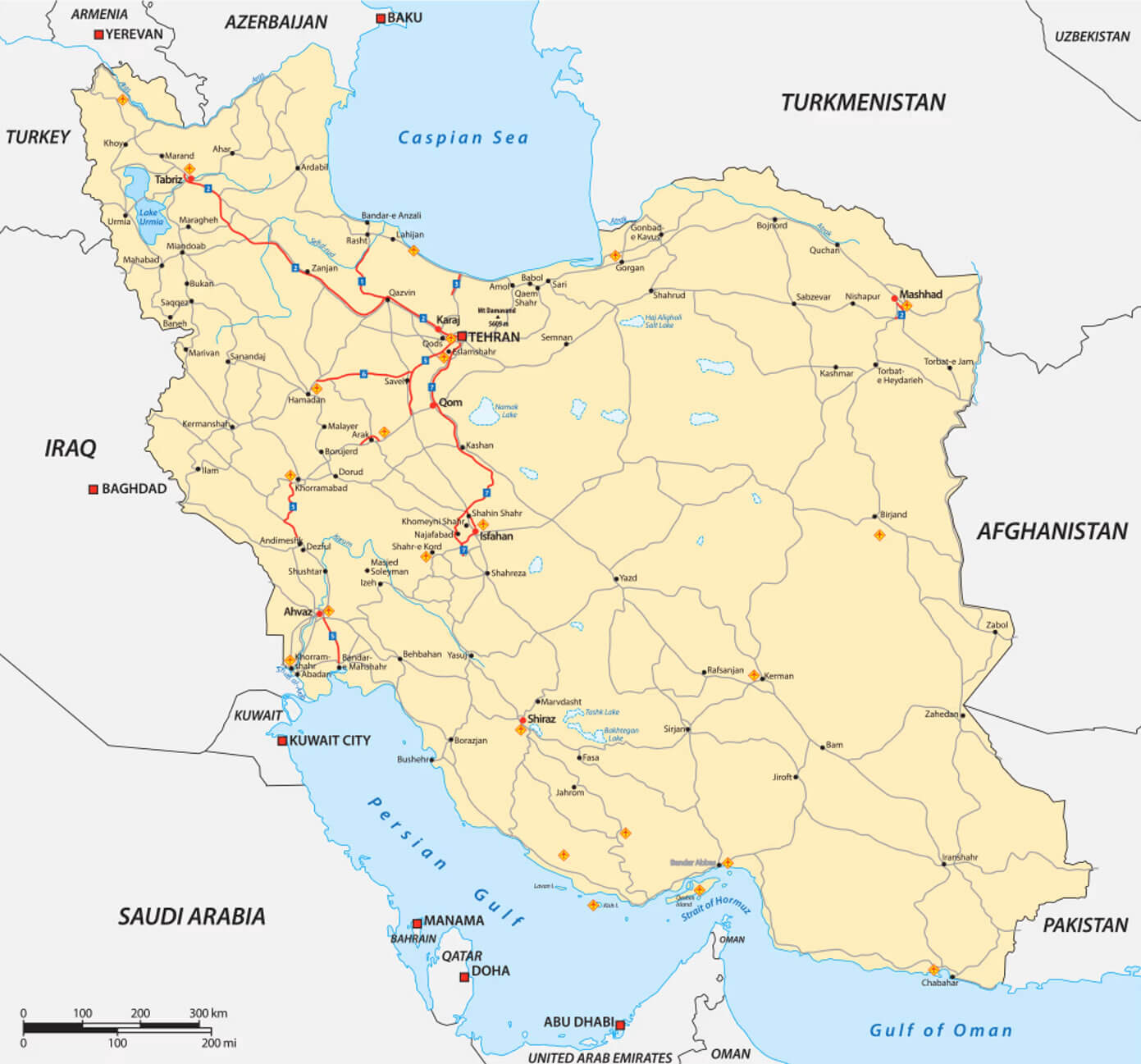
Road map of Iran with cities
Cities map of Iran
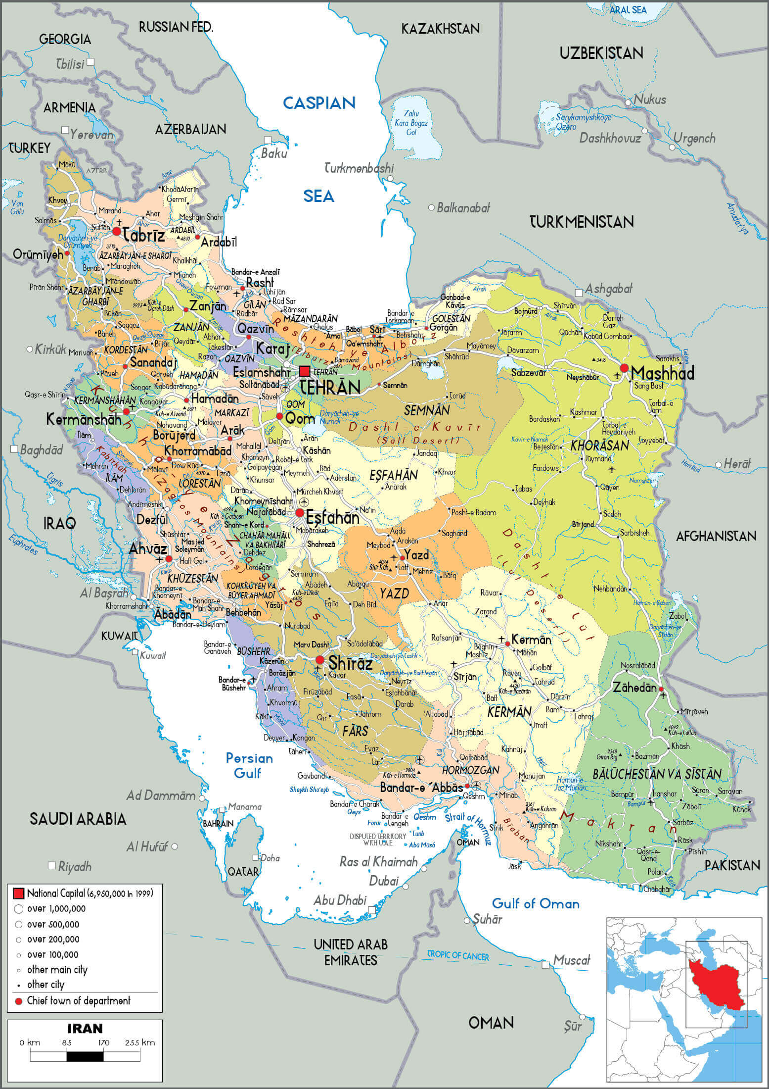
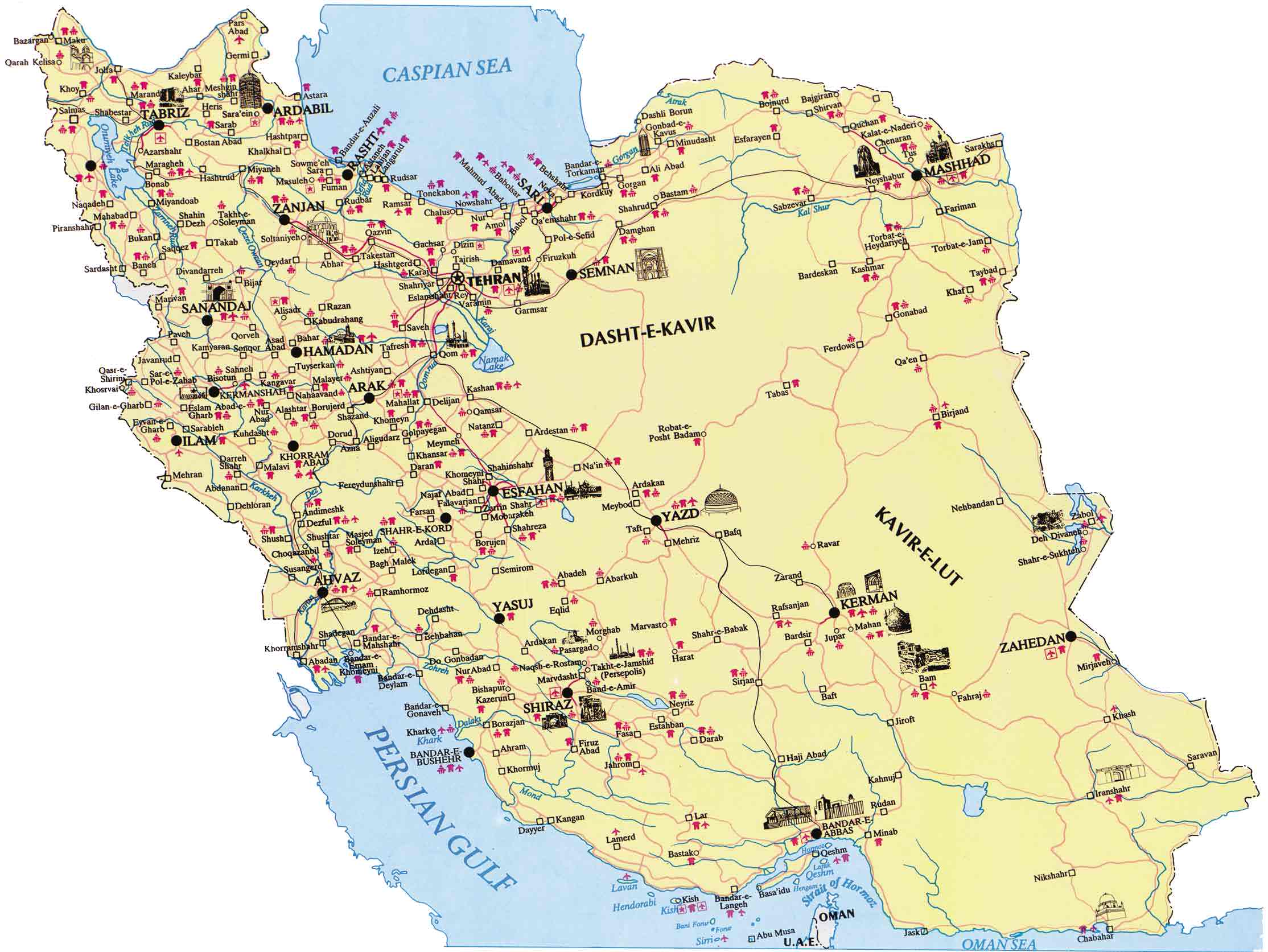
High resolution Iran provinces and cities map
Iran cities map with main roads
Iran cities map with rivers
Iran ethnic groups map with regions in regions
Iran highways map with cities
Iran largest cities map with flag

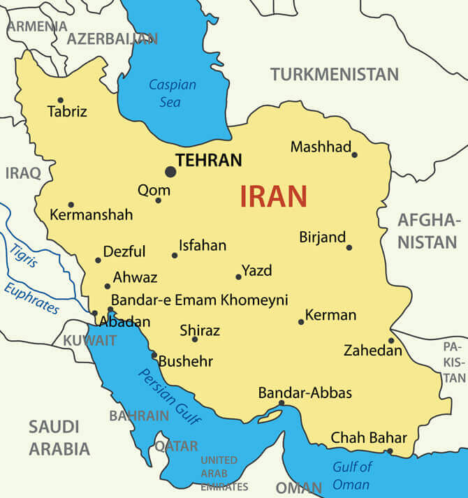
Iran major cities map
Iran map with main cities and lakes
Iran national borders map with main cities
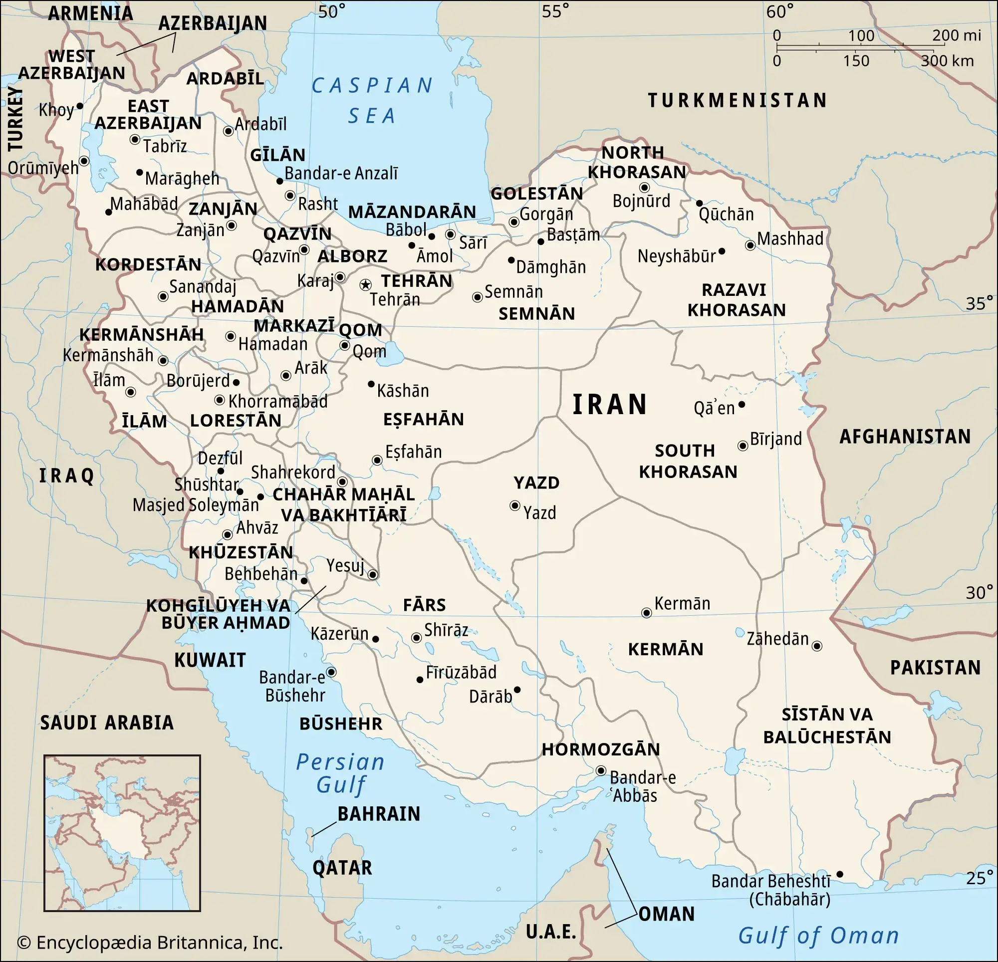
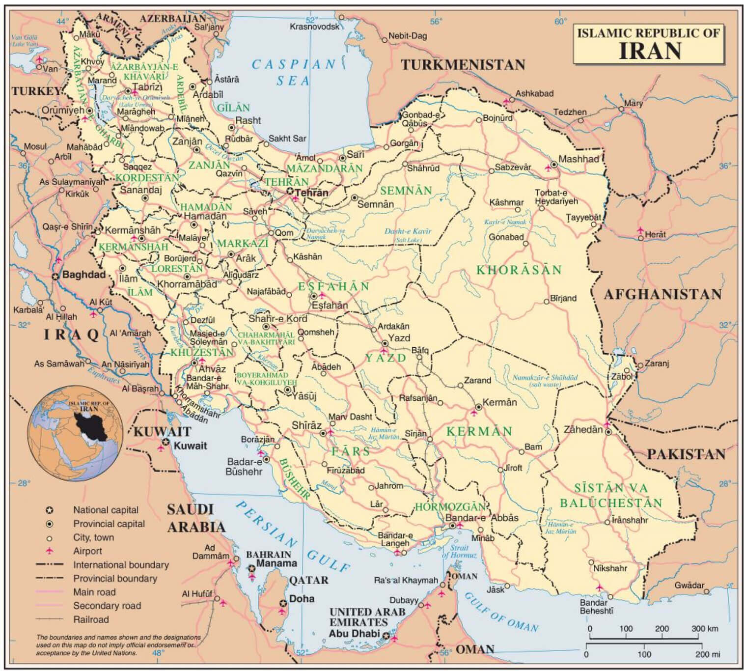
Iran national provincial and cities map
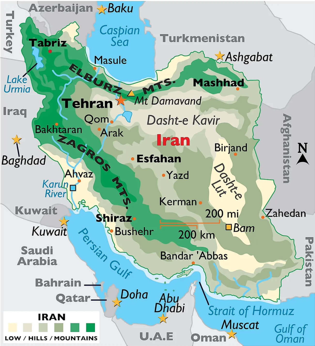
Iran physical map with cities
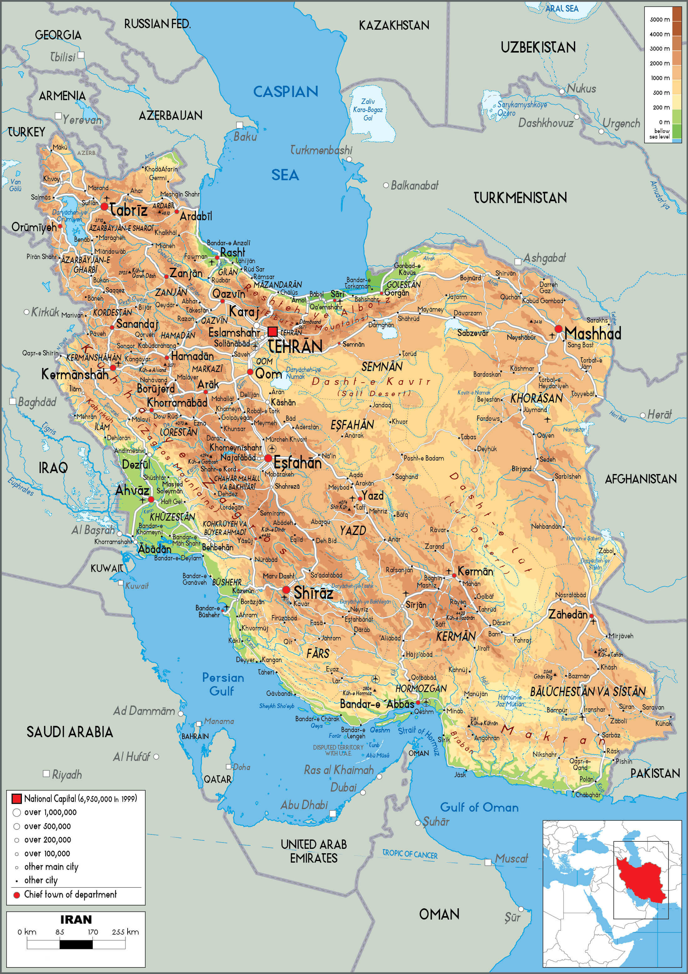
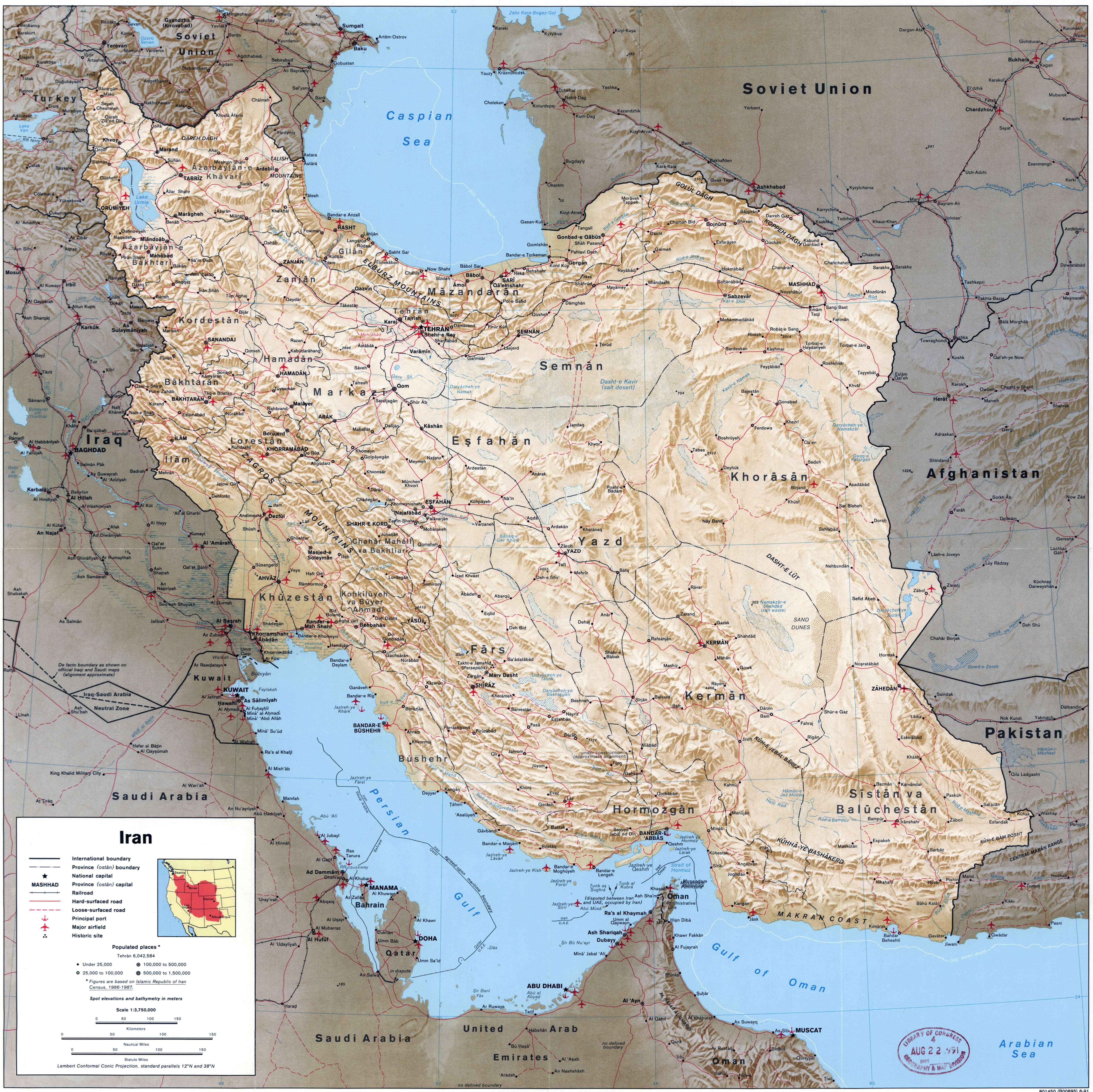
Large political map of Iran with relief all roads railroads cities
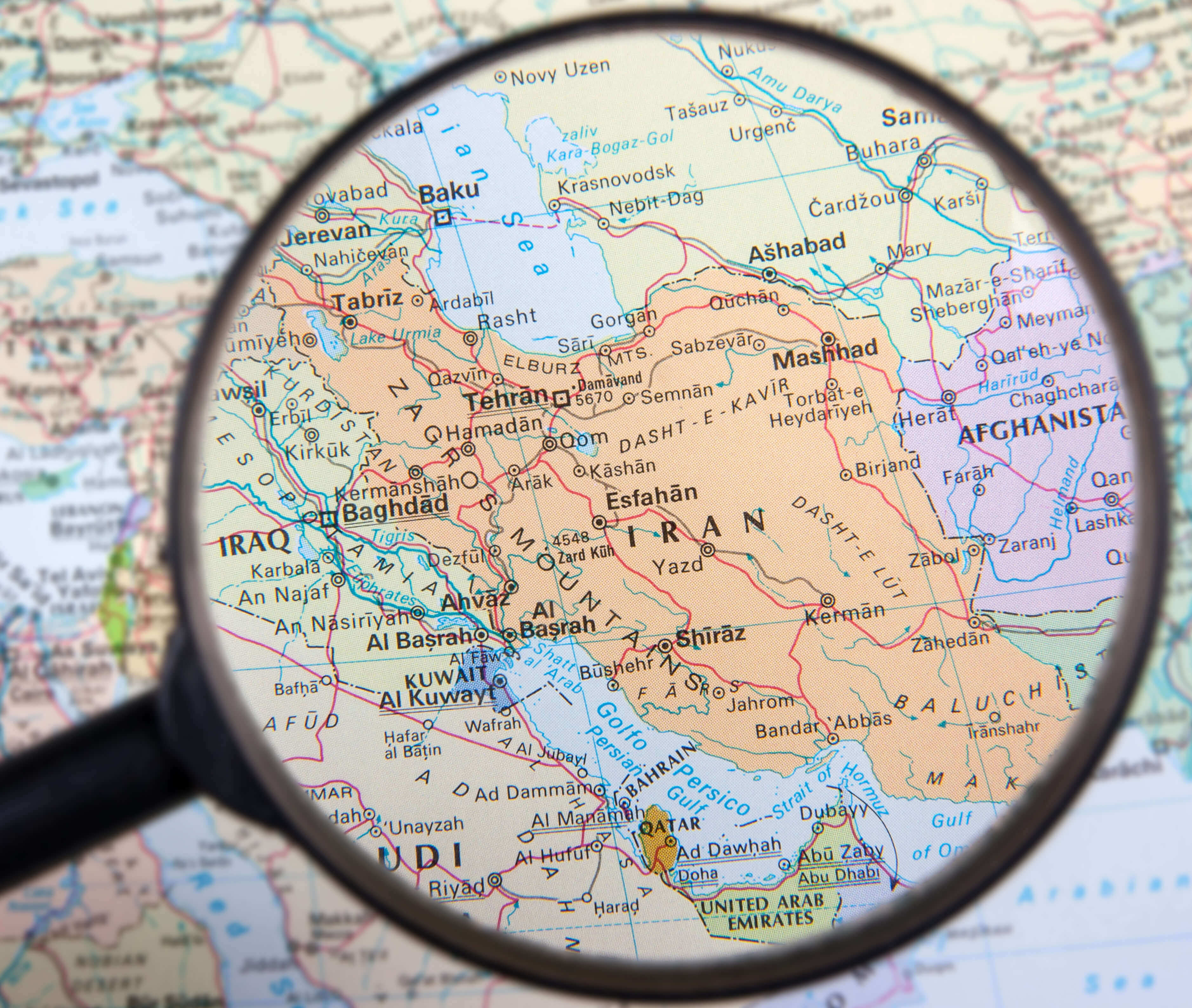
Local map of Iran
Map of Iran with cities and lakes
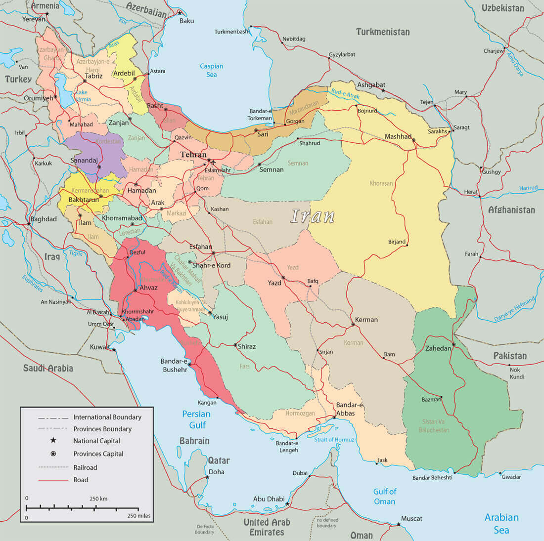
Political map of Iran with regions
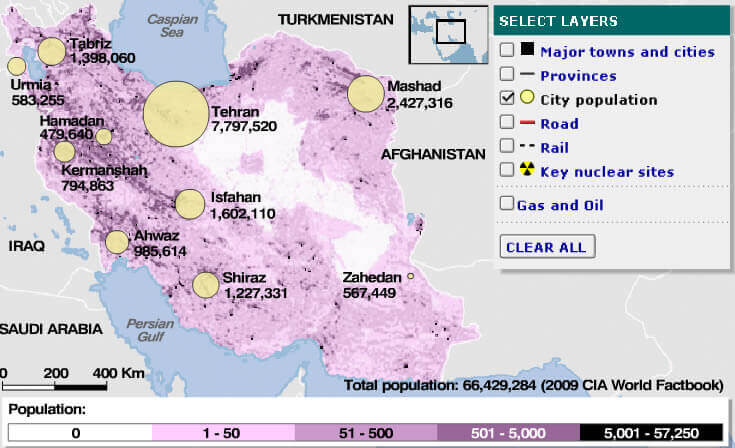
Population map of Iran
Rail map of Iran with cities
Feel free to explore these pages as well:
- Head of Performance Marketing
- Head of SEO
- Linkedin Profile: linkedin.com/in/arifcagrici
Addresse: Hakarinne 2 Espoo, Uusimaa - Finland 02210
Web: istanbul-city-guide.com
Email: [email protected]
Web: istanbul-city-guide.com
Email: [email protected]
Copyright istanbul-city-guide.com - 2004 - 2026. All rights reserved. Privacy Policy | Disclaimer