Mauritius Map and Mauritius Satellite Images
Explore map of Mauritius, Mauritius map, cities map of Mauritius, satellite images of Mauritius, Mauritius largest cities maps, political map of Mauritius, driving directions, country atlas and traffic map.
Mauritius Map FQA
How many cities are in Mauritius ?
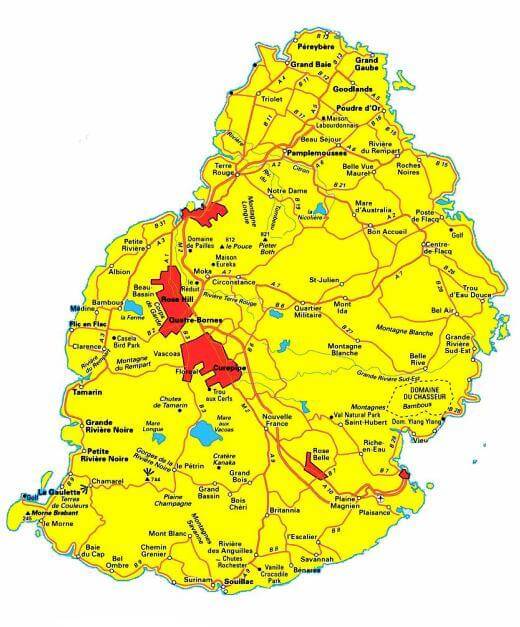
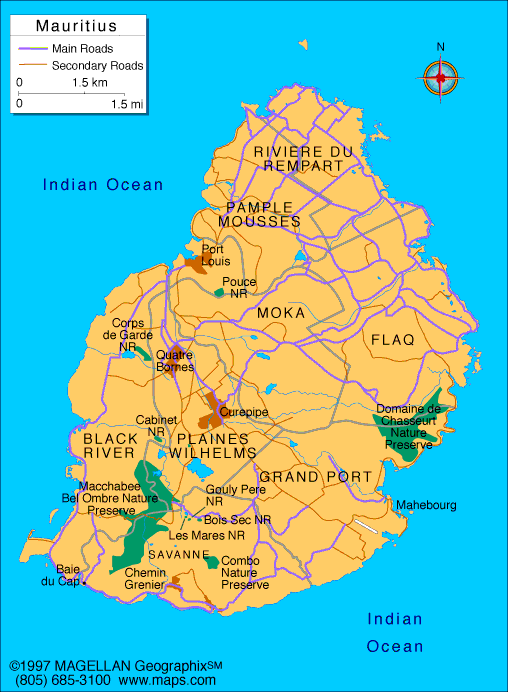
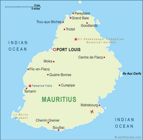
Mauritius has about 10 cities/towns. The largest by population are: Port Louis; Beau Bassin-Rose Hill; Vacoas-Phoenix; Curepipe; Quatre Bornes; Triolet; Goodlands; Centre de Flacq; Bel Air Rivière Sèche; Mahebourg.What are the major geographical features of Mauritius ?
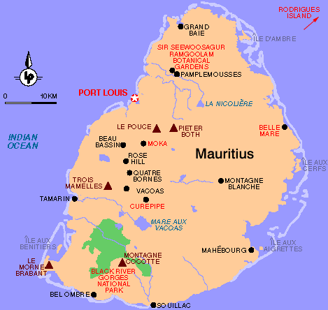
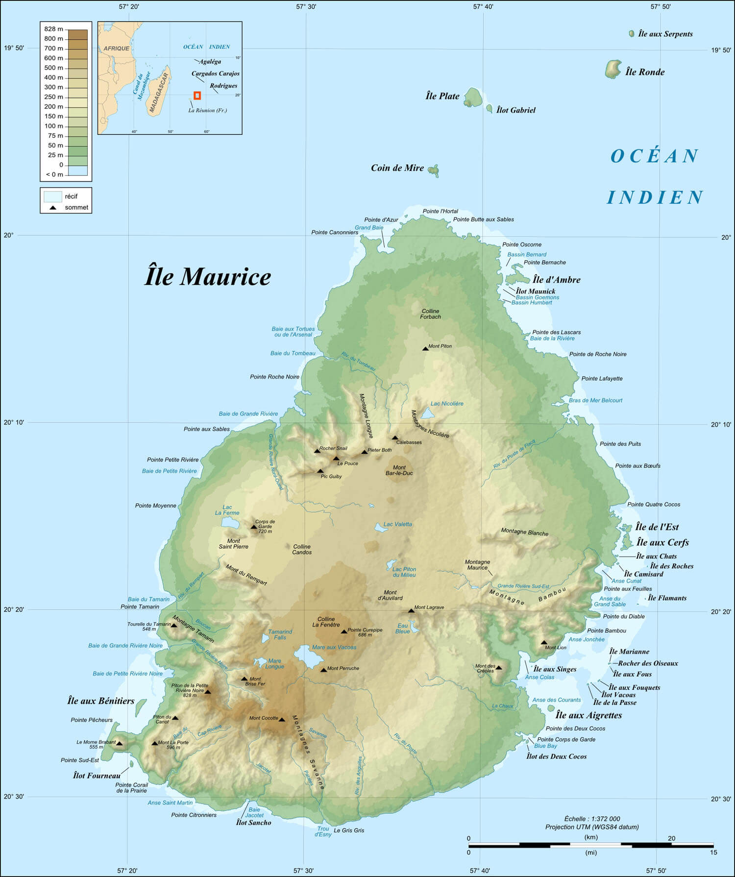
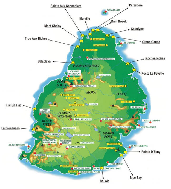
Mauritius, an island in the Indian Ocean, has volcanic mountains, coastal plains, and coral reefs. The central plateau is surrounded by small mountain ranges.MAURITIUS LOCATION MAP
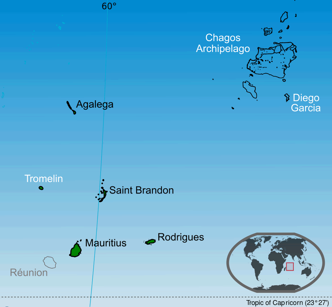
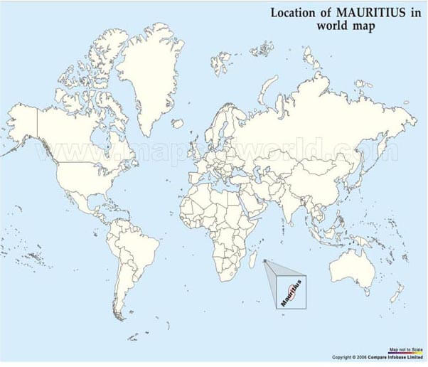
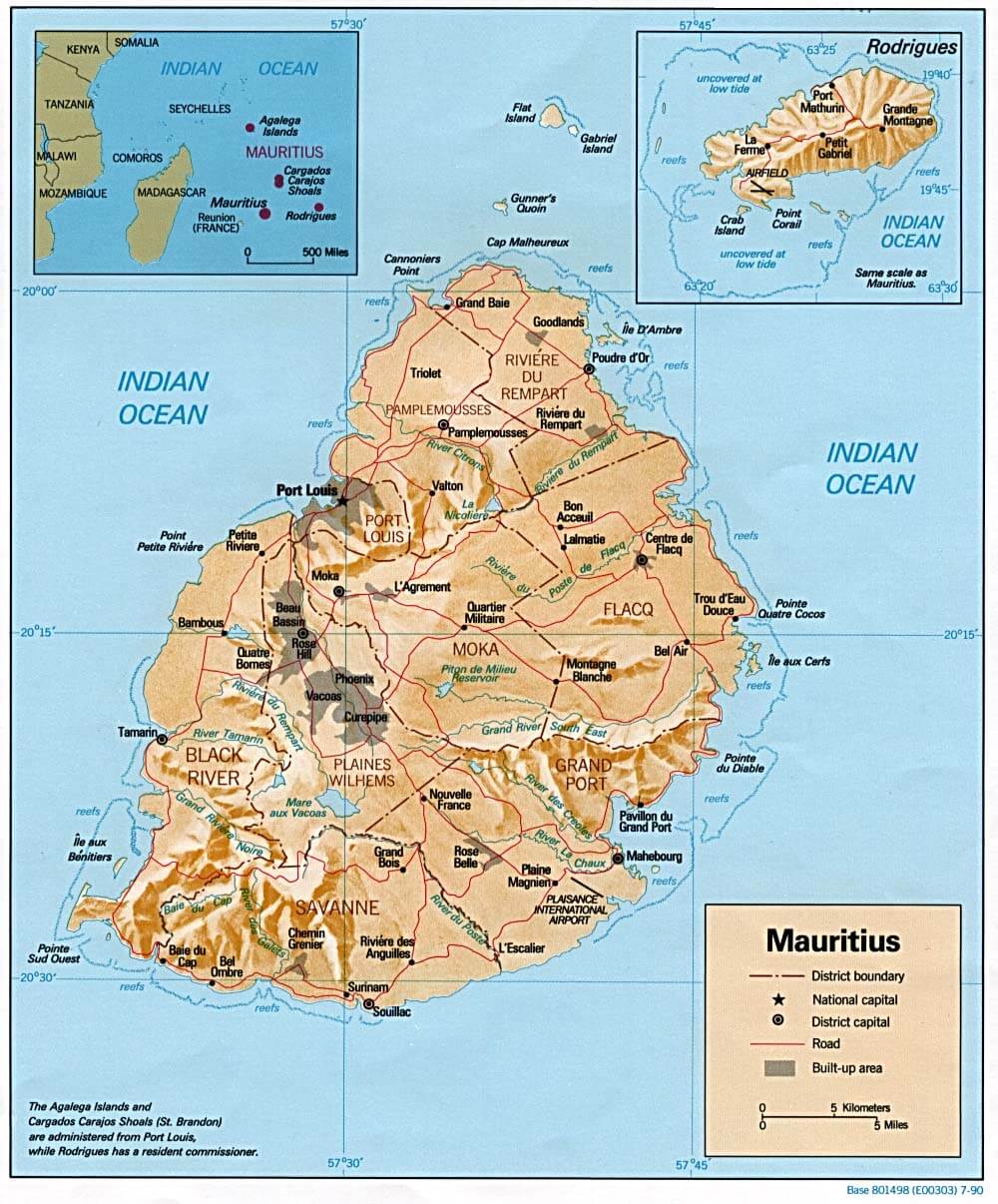
WHERE IS MAURITIUS IN THE WORLD
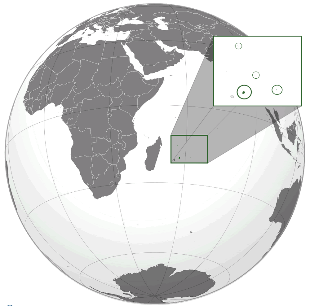
MAURITIUS LOCATION MAP
Can I download a high-resolution map of Mauritius ?
Yes. Download high-resolution political and physical maps of Mauritius for personal or educational use. Redistribution is subject to the terms of our license.
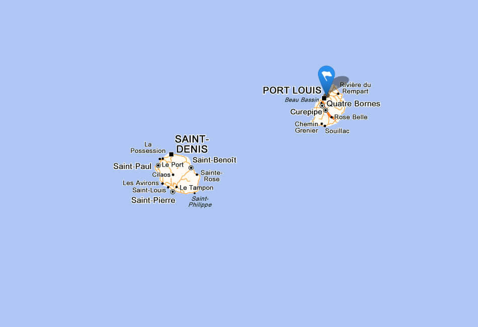
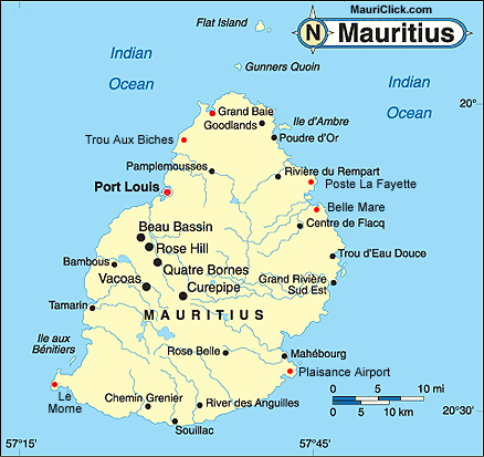
- Capital : Port Louis
- Population : 1,291,456
- GDP : $11.224 billion
- Per Capita : $8,654
- Calling Code : +230
- Jobless Rate : 7.90%
- Time Zone : +4
For more about Mauritius >>
A Collection of Mauritius Maps and Mauritius Satellite Images
MAP OF MAURITIUS
WHERE IS MAURITIUS IN THE WORLD
MAURITIUS LOCATION MAP
MAP OF MAURITIUS
MAP MAURITIUS
MAURITIUS MAP
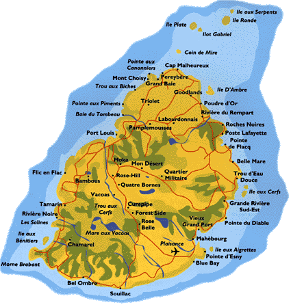
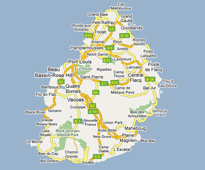
MAURITIUS CITIES MAP
MAURITIUS ELEVATION MAP
MAURITIUS LAND MAP

MAURITIUS LOCATION MAP WORLD
MAURITIUS MAP
MAURITIUS MAP
MAURITIUS MAP ISLAND
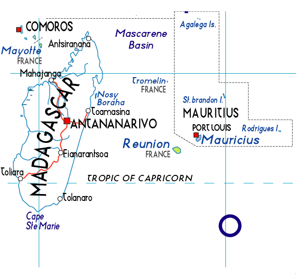
MAURITIUS MAP MADAGASKAR
MAURITIUS PHYSICAL MAP
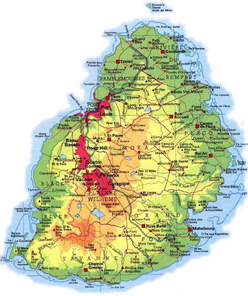
MAURITIUS RELIEF MAP
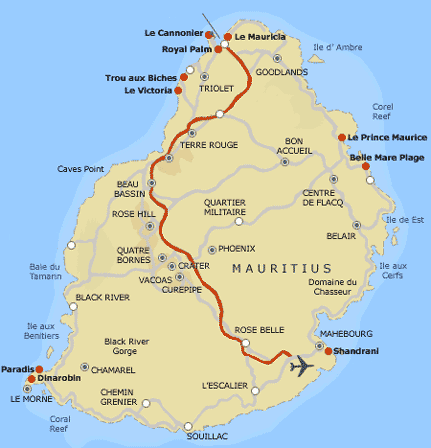
MAURITIUS RESORTS MAP
MAURITIUS ROAD MAP
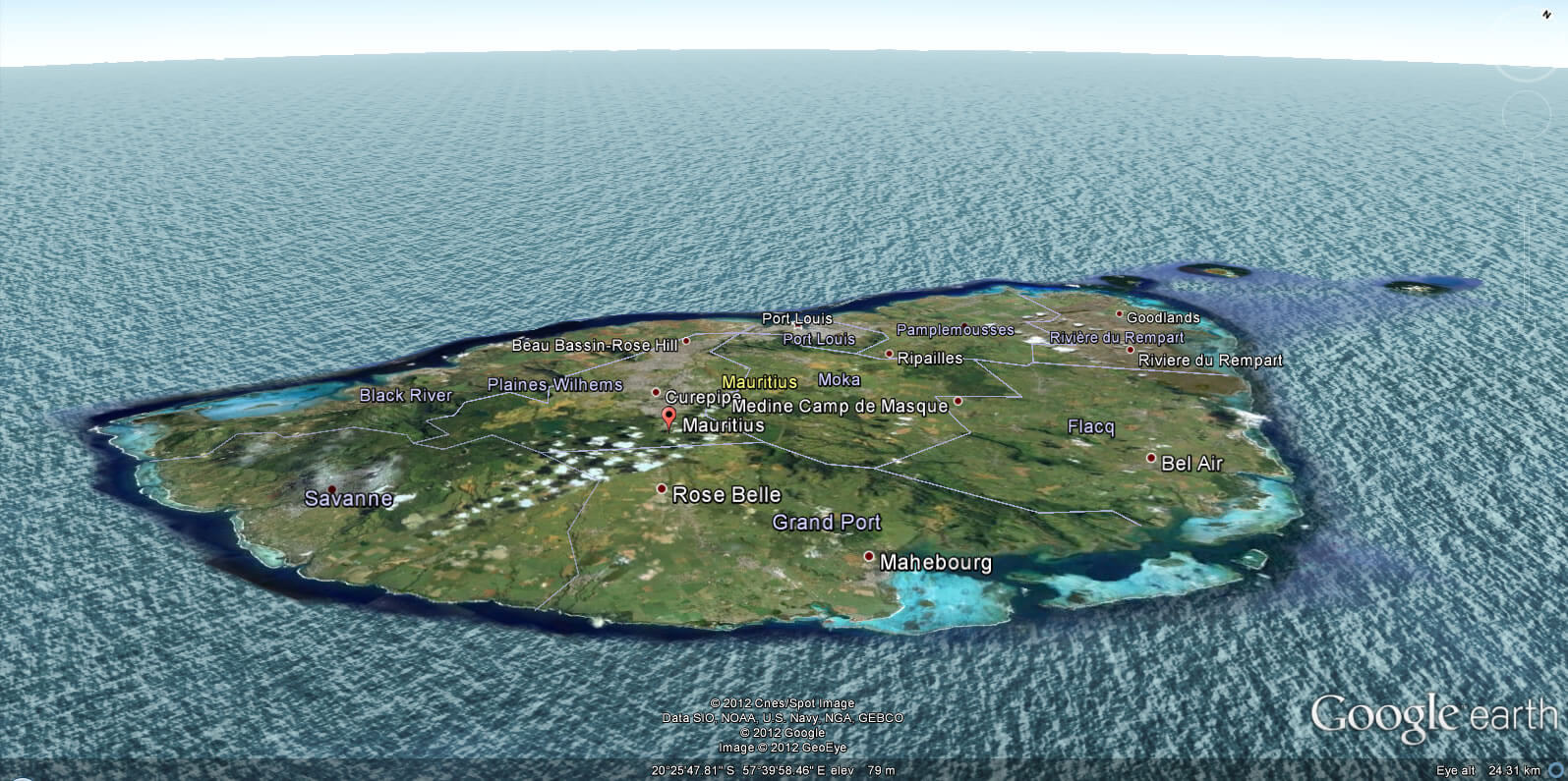
MAURITIUS EARTH MAP
Largest Cities' Map of Mauritius
Port Louis Map
Addresse: Hakarinne 2 Espoo, Uusimaa - Finland 02210
Web: istanbul-city-guide.com
Email: [email protected]
Web: istanbul-city-guide.com
Email: [email protected]
Copyright istanbul-city-guide.com - 2004 - 2026. All rights reserved. Privacy Policy | Disclaimer