Iceland Map and Iceland Satellite Images
Explore map of Iceland, Iceland map, cities map of Iceland, satellite images of Iceland, Iceland largest cities maps, political map of Iceland, driving directions, country atlas and traffic map.
Iceland Map FQA
How many cities are in Iceland ?
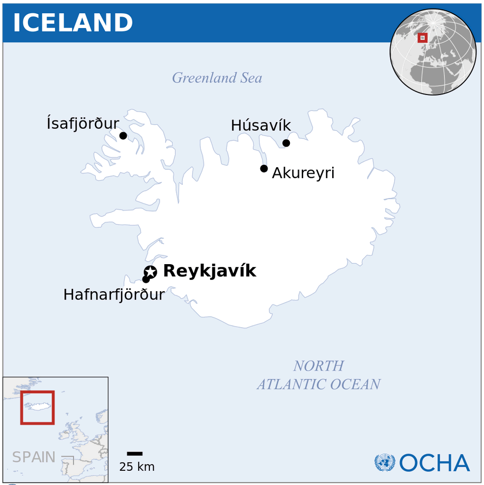
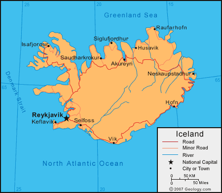
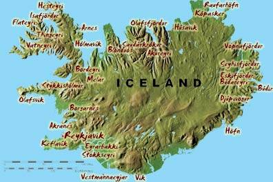
Iceland has about 20 towns. The 10 largest are: Reykjavík, Kópavogur, Hafnarfjör?ur, Akureyri, Reykjanesbær, Gar?abær, Mosfellsbær, Árborg, Akranes, and Fjar?abygg?.What are the major geographical features of Iceland ?
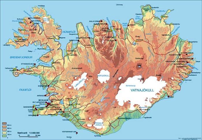
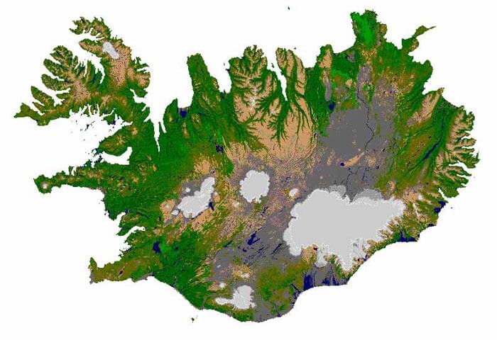
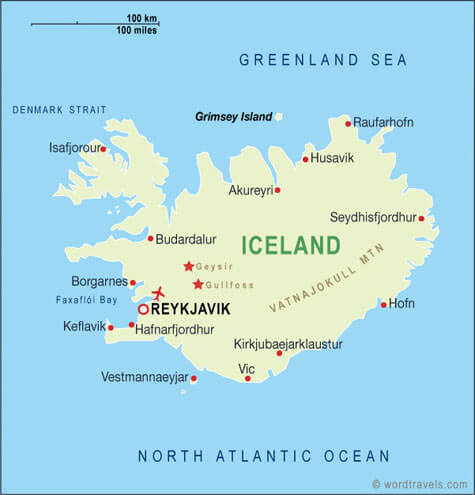
Iceland is a volcanic island in the North Atlantic. It features glaciers, geysers, hot springs, lava fields, and volcanoes such as Hekla. The island also has fjords and coastal lowlands.ICELAND LOCATION MAP
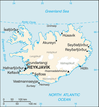
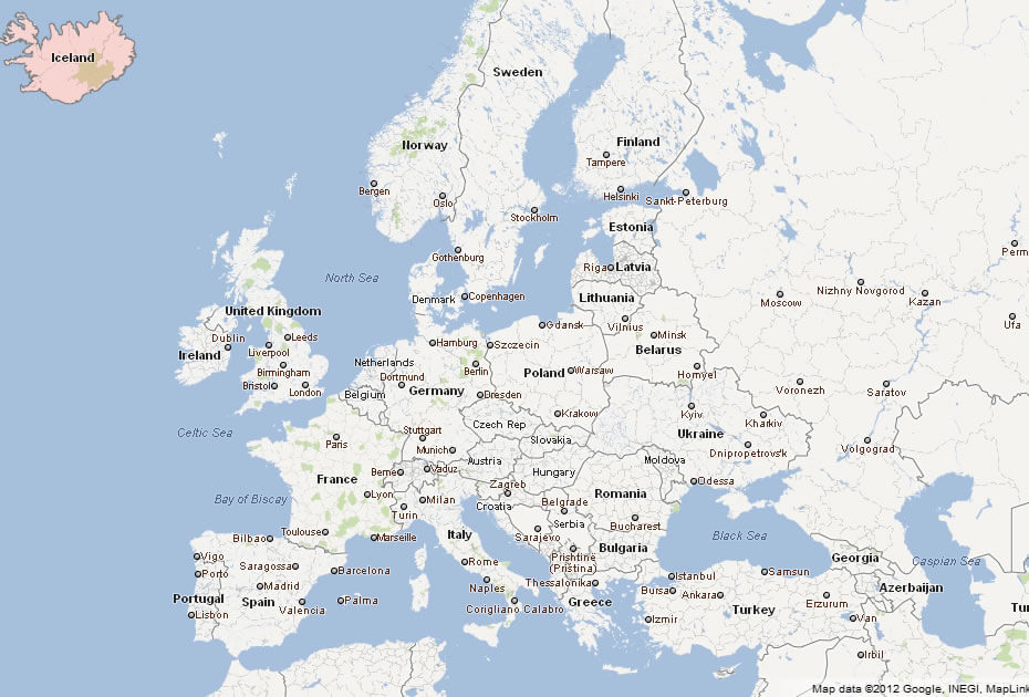
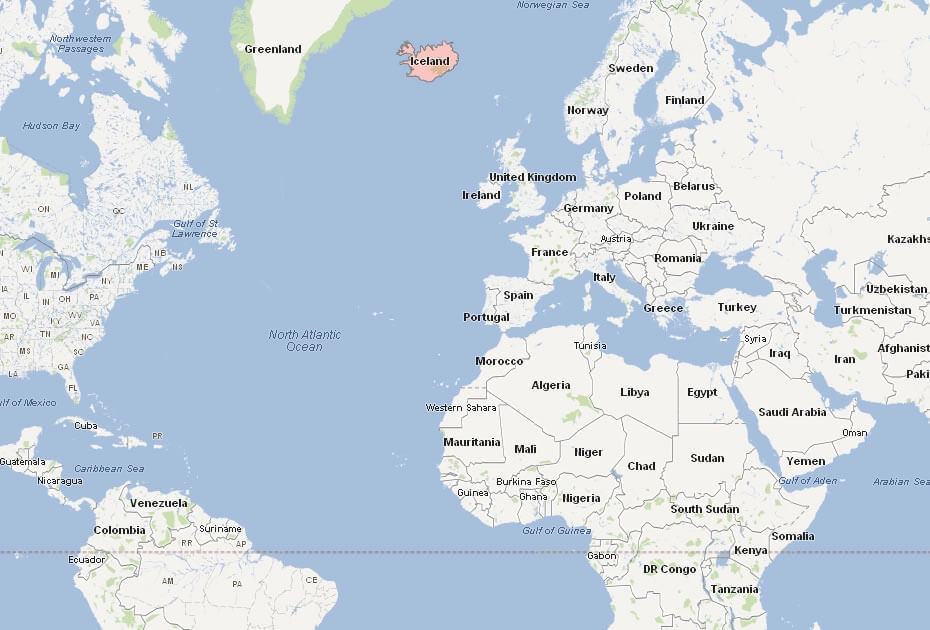
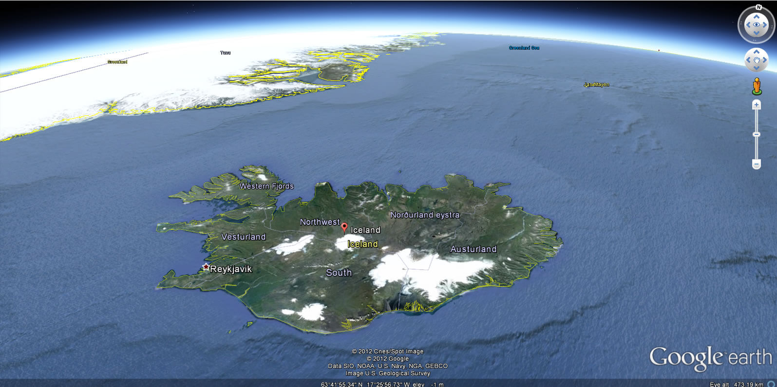
WHERE IS ICELAND IN THE WORLD
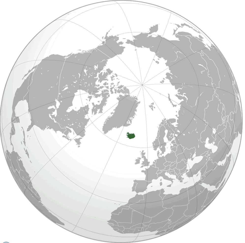
ICELAND LOCATION MAP
Can I download a high-resolution map of Iceland ?
Yes. Download high-resolution political and physical maps of Iceland for personal or educational use. Redistribution is subject to the terms of our license.
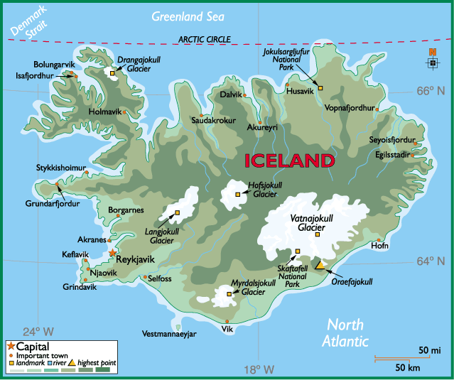
- Capital : Reykjavík
- Population : 320,060
- GDP : $14.048 billion
- Per Capita : $43,088
- Calling Code : +354
- Jobless Rate : 5.70%
- Time Zone : +0
For more about Iceland >>
A Collection of Iceland Maps and Iceland Satellite Images
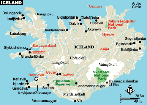
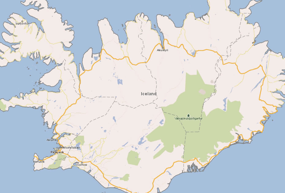
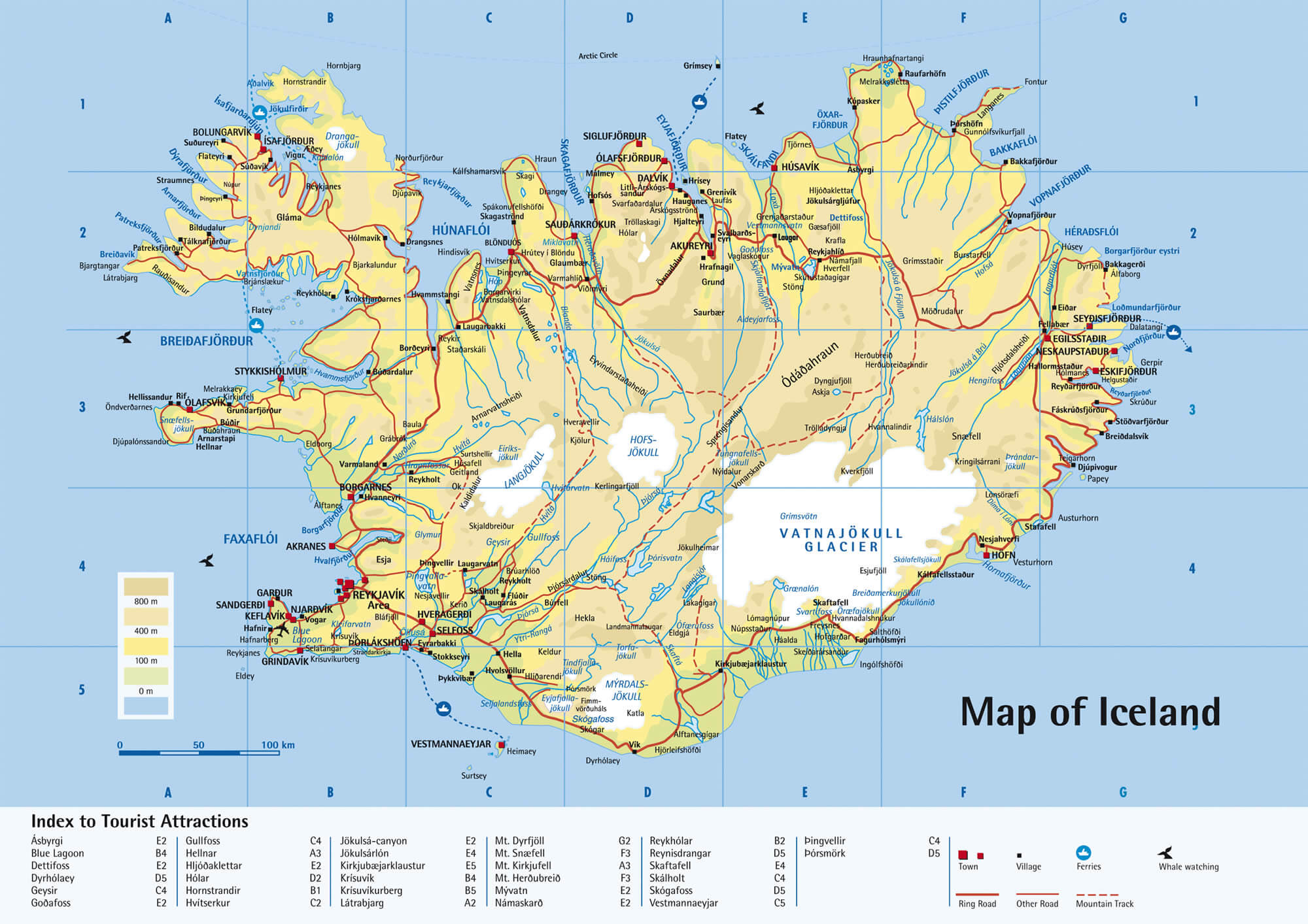
MAP OF ICELAND
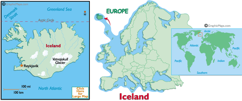
WHERE IS ICELAND IN THE WORLD
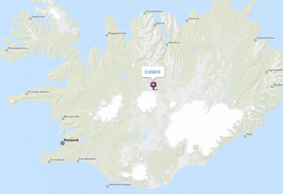
ICELAND LOCATION MAP
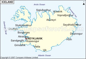
CITIES MAP OF ICELAND
ICELAND MAP
ICELAND MAPS
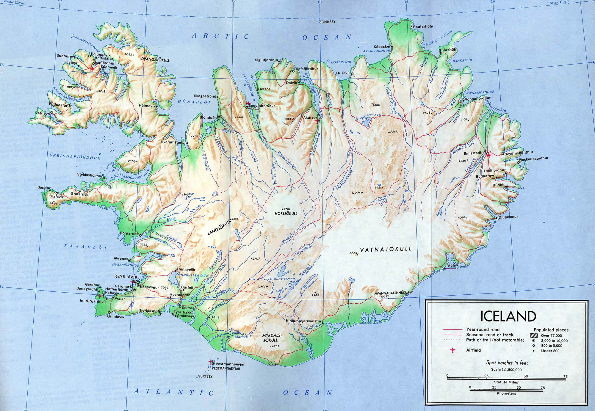
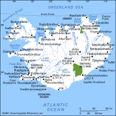
ICELAND PHYSICAL MAP
ICELAND POLITICAN MAP
ICELAND TOURIST MAP
ICELAND HIKING MAP
ICELAND MAP
ICELAND MAP
ICELAND MAP
ICELAND MAP
MAP OF ICELAND EUROPE
MAP OF ICELAND WORLD
MAP OF ICELAND
MAP ICELAND
PHYSICAL ICELAND MAP
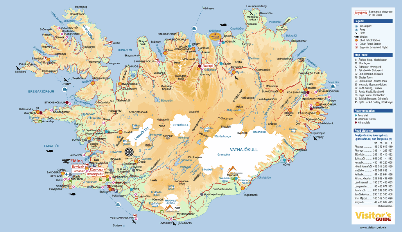
ROAD MAP OF ICELAND
ICELAND EARTH MAP
Largest Cities' Map of Iceland
Reykjavik Map
Addresse: Hakarinne 2 Espoo, Uusimaa - Finland 02210
Web: istanbul-city-guide.com
Email: [email protected]
Web: istanbul-city-guide.com
Email: [email protected]
Copyright istanbul-city-guide.com - 2004 - 2026. All rights reserved. Privacy Policy | Disclaimer