Croatia Map and Croatia Satellite Images
Explore map of Croatia, Croatia map, cities map of Croatia, satellite images of Croatia, Croatia largest cities maps, political map of Croatia, driving directions, country atlas and traffic map.
Croatia Map FQA
How many cities are in Croatia ?
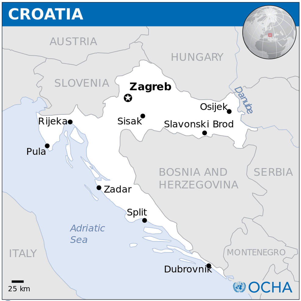
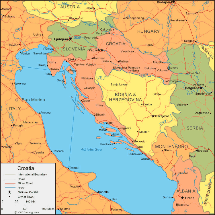
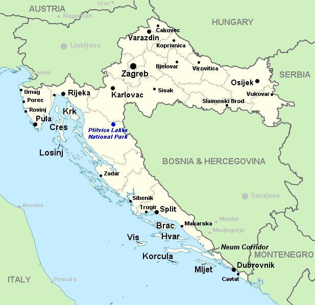
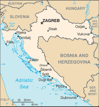
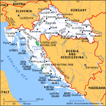
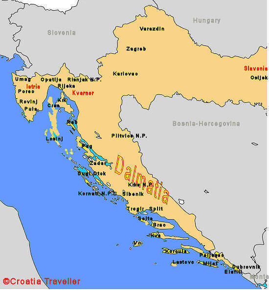
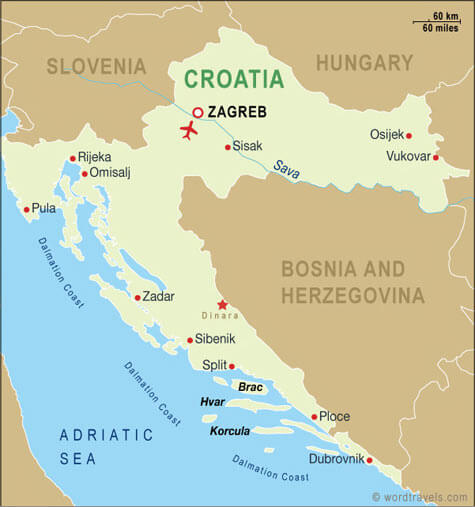
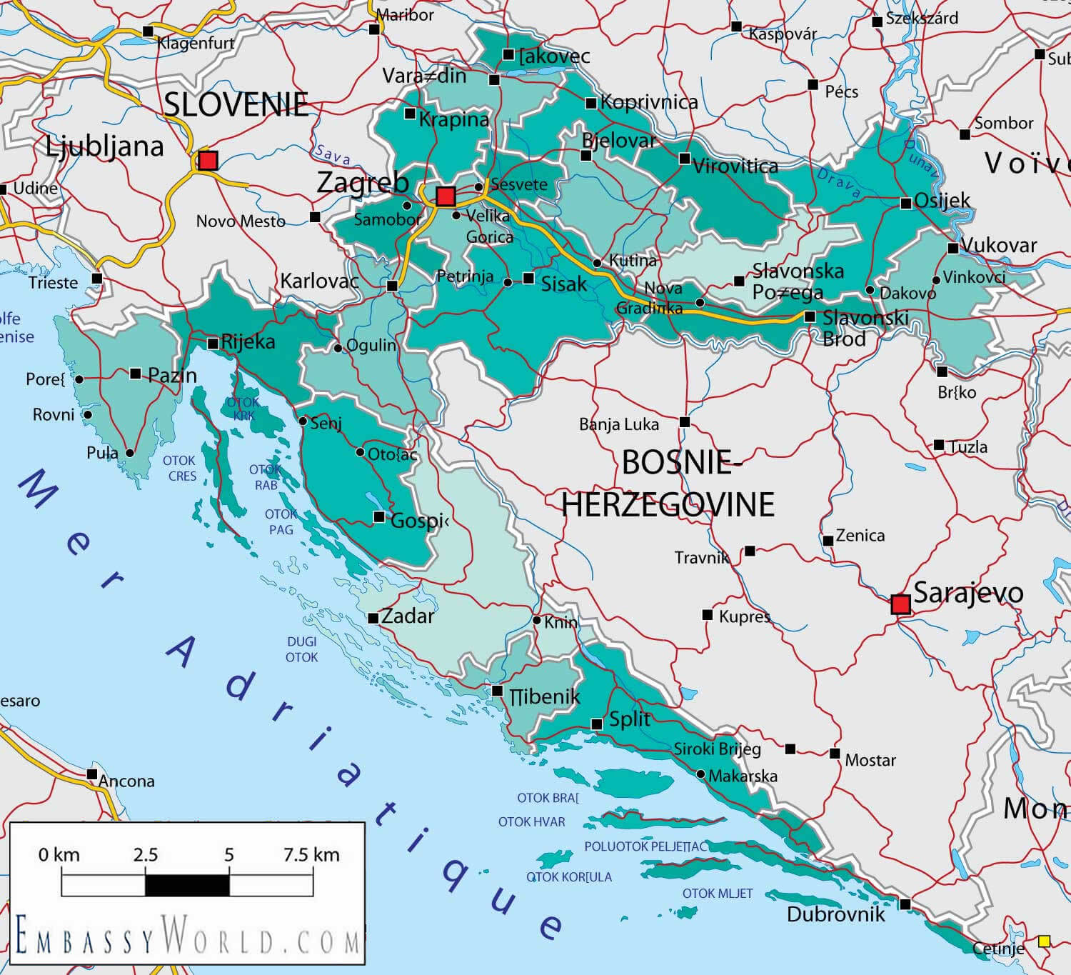
Croatia has about 120 cities and towns. The 10 largest are: Zagreb, Split, Rijeka, Osijek, Zadar, Slavonski Brod, Pula, Sesvete, Karlovac, and Varazdin.What are the major geographical features of Croatia ?
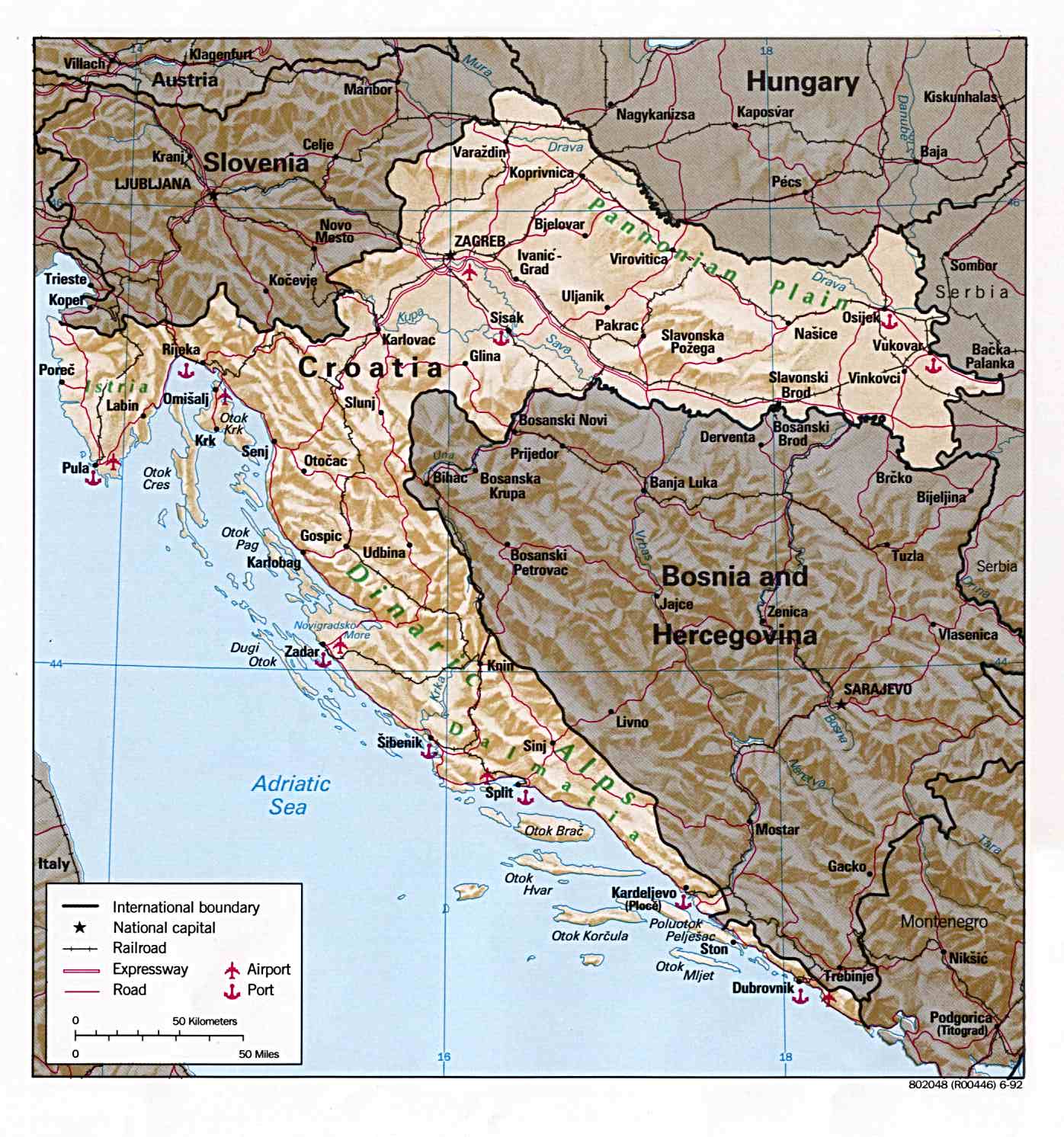
Croatia is known for its long Adriatic coastline, dotted with islands. Inland, it has the Dinaric Alps, river valleys such as the Sava and Drava, and the fertile Pannonian Plain.WHERE IS CROATIA IN THE WORLD
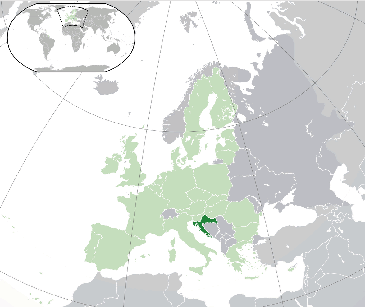
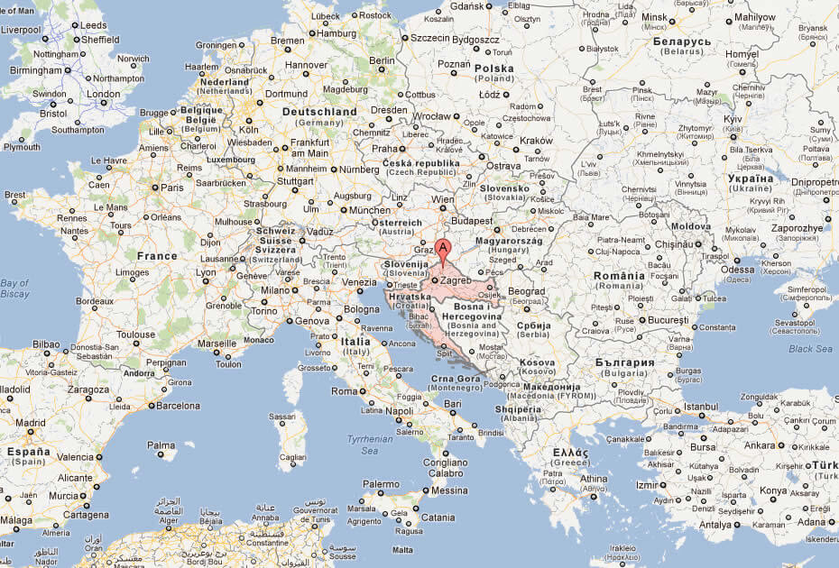
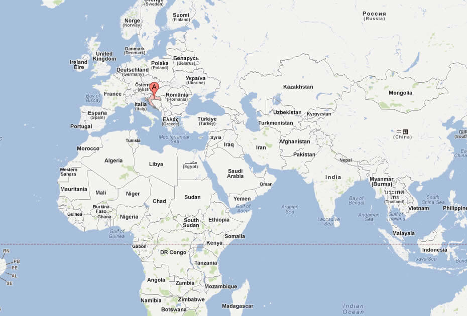
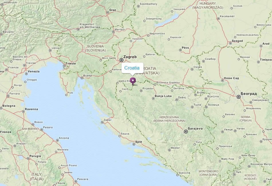
CROATIA LOCATION MAP
WHERE IS CROATIA IN THE WORLD
Can I download a high-resolution map of Croatia ?
Yes. Download high-resolution political and physical maps of Croatia for personal or educational use. Redistribution is subject to the terms of our license.
- Capital : Zagreb
- Population : 4,290,612
- GDP : $63.842 billion (65th)
- Per Capita : $14,457 (44th)
- Calling Code : +385
- Jobless Rate : 21.10%
- Time Zone : +1
For more about Croatia >>
A Collection of Croatia Maps and Croatia Satellite Images
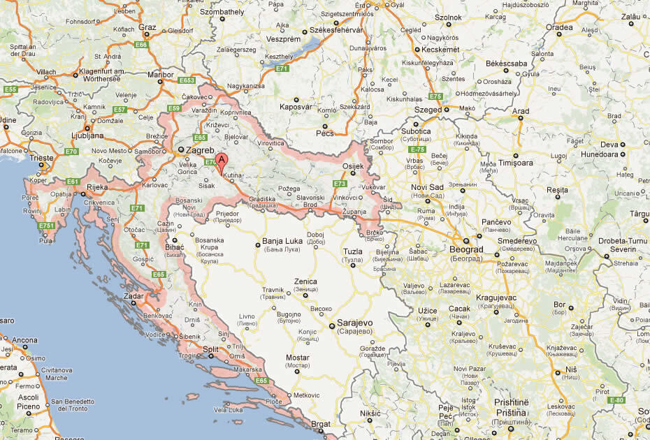
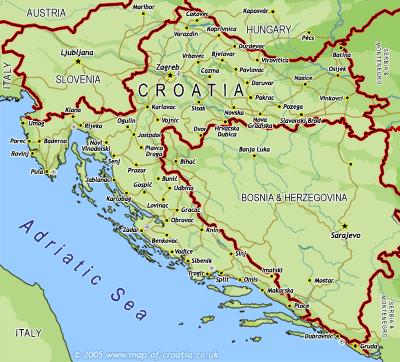
MAP OF CROATIA
CROATIA LOCATION MAP
WHERE IS CROATIA IN THE WORLD
CROATIA MAP
CROATIA POLITICAL MAP
CROATIA MAP
CROATIA MAP
CROATIA MAP
CROATIA ROAD MAP
MAP OF CROATIA EUROPE
MAP OF CROATIA WORLD
MAP OF CROATIA
MAP CROATIA
PHYSICAL MAP OF CROATIA
POLITICAL MAP OF CROATIA

CROATIA EARTH MAP
Addresse: Hakarinne 2 Espoo, Uusimaa - Finland 02210
Web: istanbul-city-guide.com
Email: [email protected]
Web: istanbul-city-guide.com
Email: [email protected]
Copyright istanbul-city-guide.com - 2004 - 2026. All rights reserved. Privacy Policy | Disclaimer