Burkina Faso Map and Burkina Faso Satellite Images
Explore map of Burkina Faso, Burkina Faso map, cities map of Burkina Faso, satellite images of Burkina Faso, Burkina Faso largest cities maps, political map of Burkina Faso, driving directions, country atlas and traffic map.
Burkina Faso Map FQA
How many cities are in Burkina Faso ?
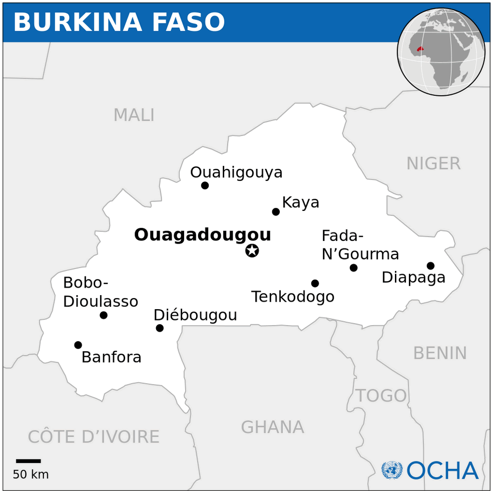
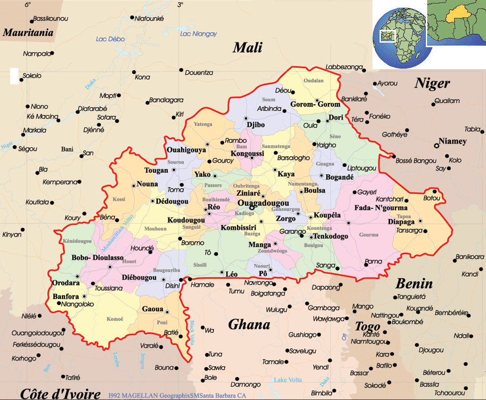
Burkina Faso has about 30 cities. The 10 largest are: Ouagadougou, Bobo-Dioulasso, Koudougou, Ouahigouya, Banfora, Dédougou, Kaya, Tenkodogo, Fada N’gourma, and Houndé.What are the major geographical features of Burkina Faso ?
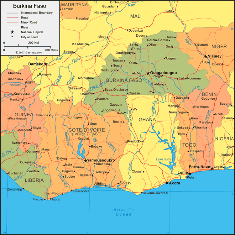
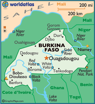
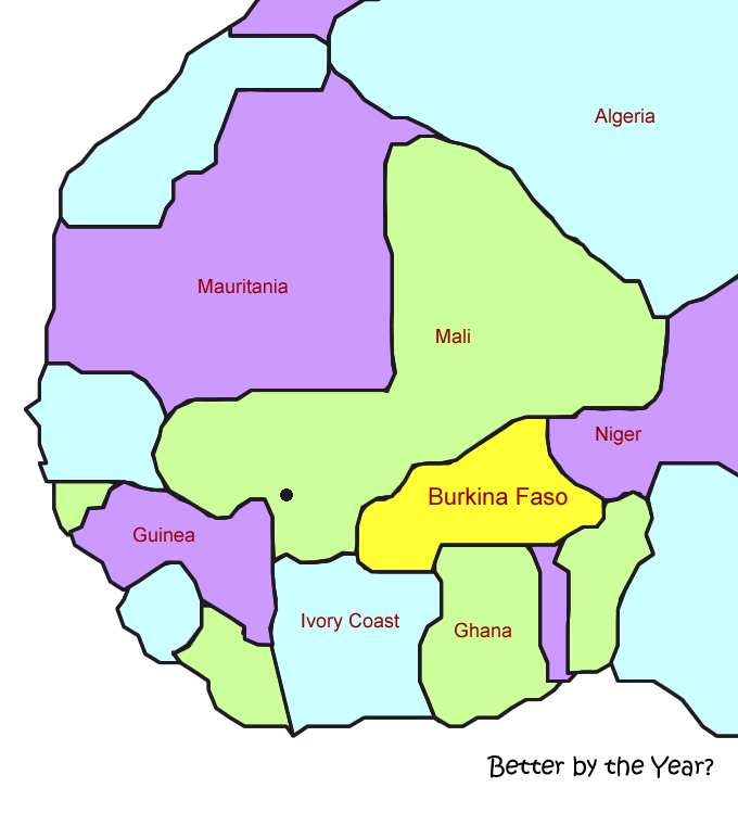
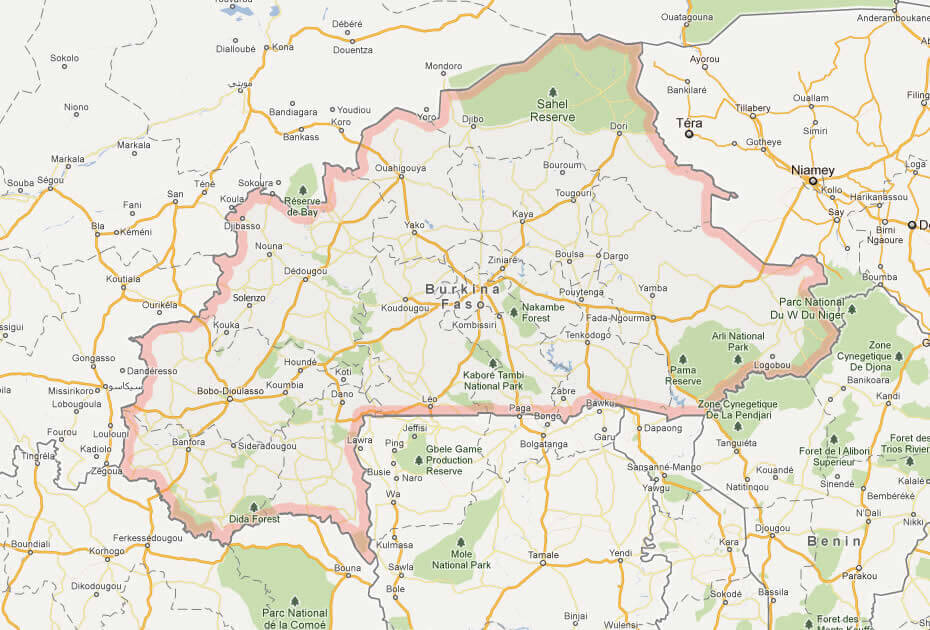
Burkina Faso is a landlocked West African country consisting mainly of a flat savanna plateau. It is drained by rivers such as the Black Volta, White Volta, and Red Volta, with scattered hills and low mountains.BURKINA FASO LOCATION MAP
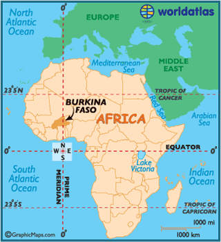
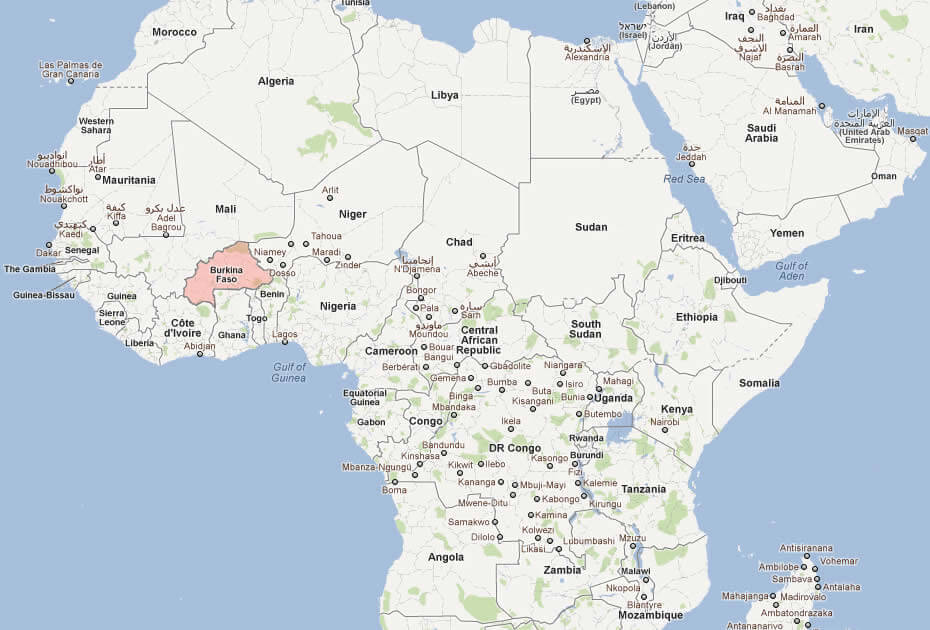
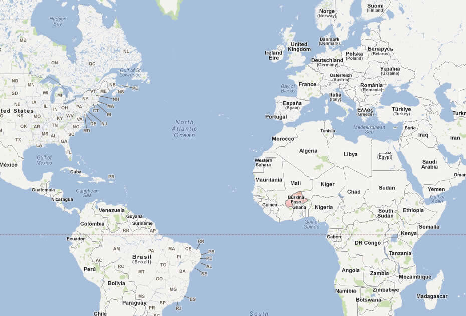
WHERE IS BURKINA FASO IN THE WORLD
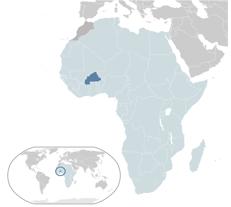
BURKINA FASO LOCATION MAP
Can I download a high-resolution map of Burkina Faso ?
Yes. Download high-resolution political and physical maps of Burkina Faso for personal or educational use. Redistribution is subject to the terms of our license.
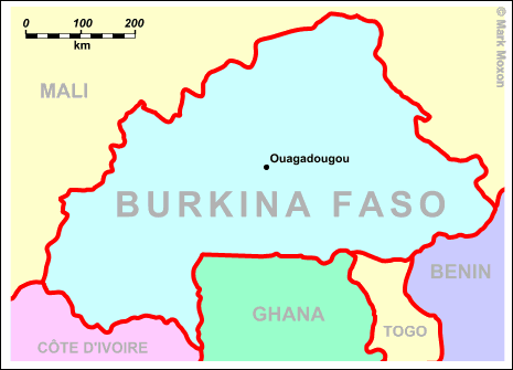
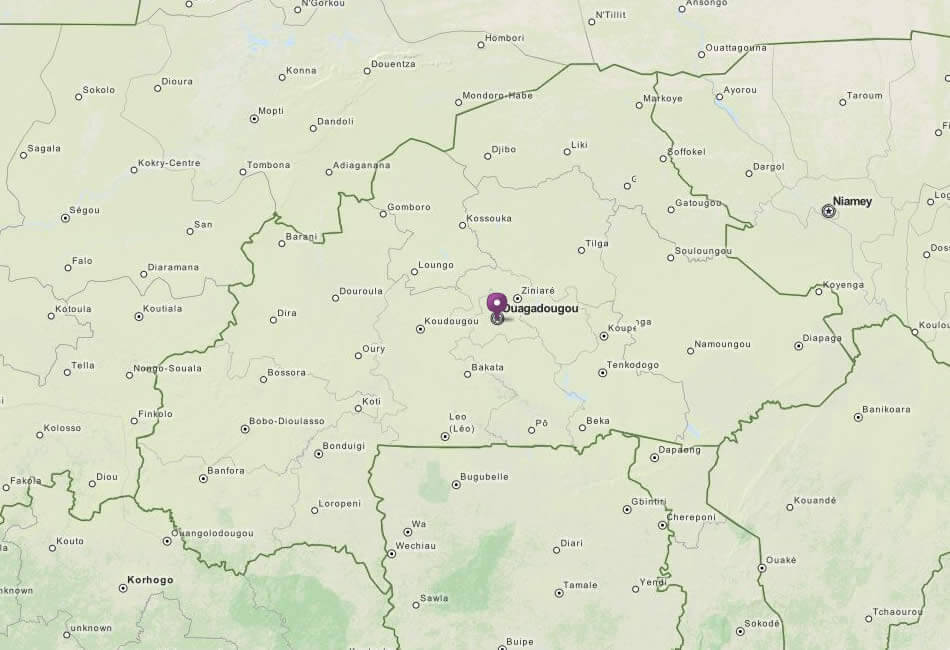
- Capital : Ouagadougou
- Population : 15,730,977
- GDP : $9.981 billion
- Per Capita : $664
- Calling Code : +226
- Jobless Rate : 3.30%
- Time Zone : +0
For more about Burkina Faso >>
A Collection of Burkina Faso Maps and Burkina Faso Satellite Images
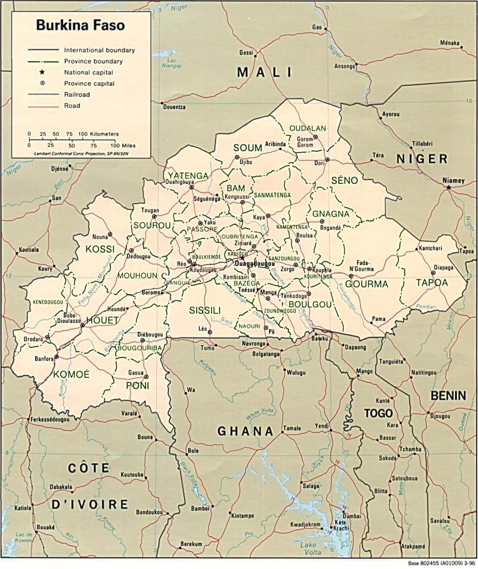
MAP OF BURKINA FASO
WHERE IS BURKINA FASO IN THE WORLD
BURKINA FASO LOCATION MAP
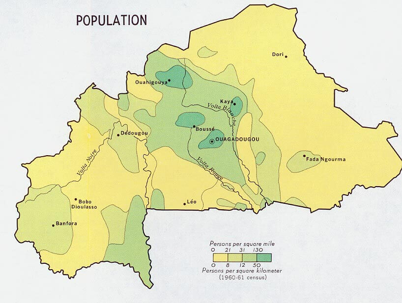
BURKIANA FASO POPULATION MAP 1968
BURKINA FASO MAP AFRICA
BURKINA FASO MAP
BURKINA FASO MAPS
BURKINA FASO MAP
BURKINA FASO POLITICAL MAP
BURKINA MAP
MAP OF BURKINA FASO AFRICA
MAP OF BURKINA FASO WORLD
MAP OF BURKINA FASO
MAP BURKINA FASO
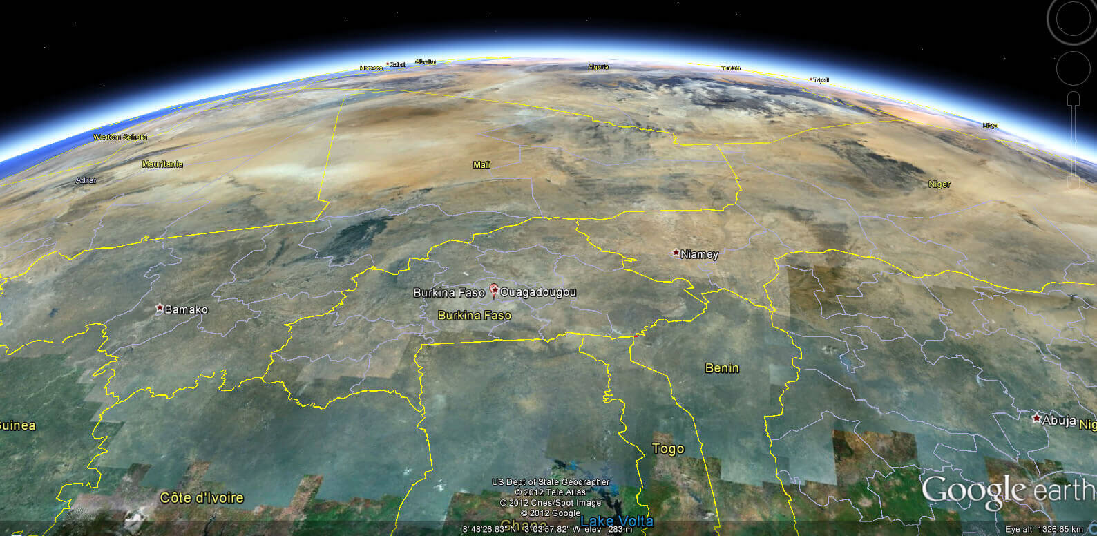
BURKINA FASO EARTH MAP
Largest Cities' Map of Burkina Faso
Ouagadougou Map Bobo Dioulasso Map Koudougou Map Banfora Map Ouahigouya Map Pouytenga Map Kaya Map Tenkodogo Map Fada Ngourma Map
Addresse: Hakarinne 2 Espoo, Uusimaa - Finland 02210
Web: istanbul-city-guide.com
Email: [email protected]
Web: istanbul-city-guide.com
Email: [email protected]
Copyright istanbul-city-guide.com - 2004 - 2026. All rights reserved. Privacy Policy | Disclaimer