Brazil Map and Brazil Satellite Images
Explore map of Brazil, Brazil map, cities map of Brazil, satellite images of Brazil, Brazil largest cities maps, political map of Brazil, driving directions, country atlas and traffic map.
Brazil Map FQA
How many cities are in Brazil ?
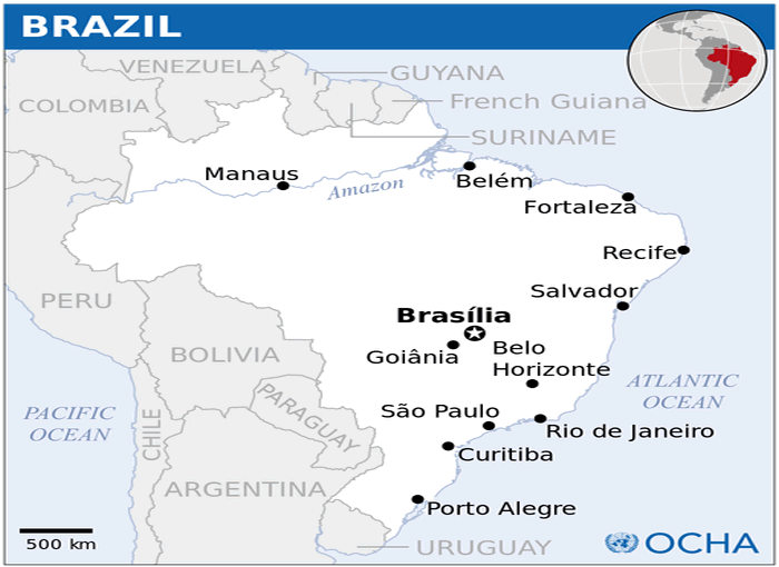
Brazil has over 5,500 cities. The 10 largest by population are: São Paulo, Rio de Janeiro, Brasília, Salvador, Fortaleza, Belo Horizonte, Manaus, Curitiba, Recife, and Porto Alegre.What are the major geographical features of Brazil ?
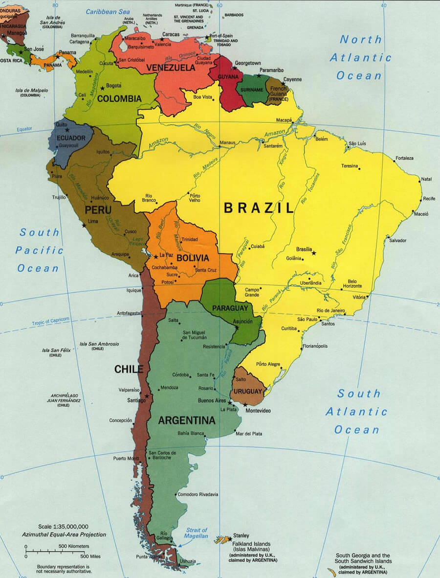
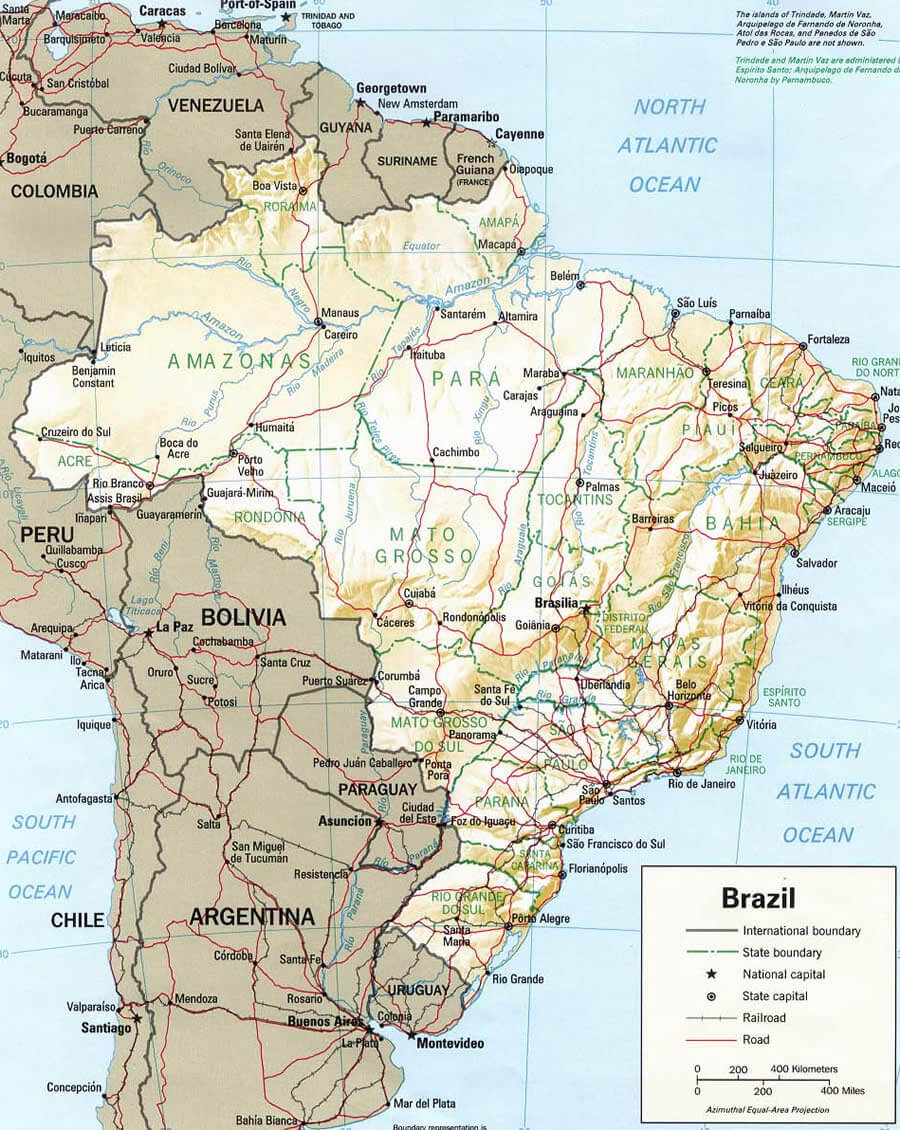
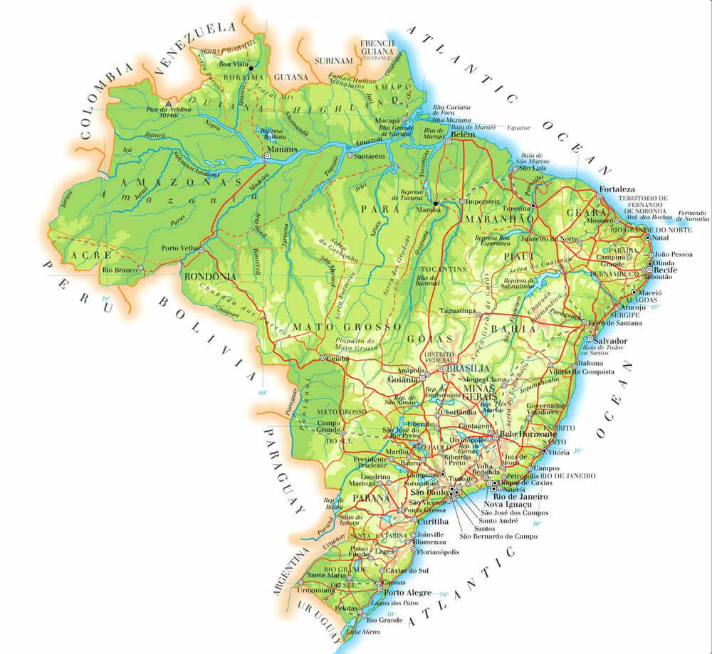
Brazil is the largest country in South America, dominated by the Amazon Rainforest and Basin. It also includes the Brazilian Highlands, the Pantanal wetlands, and long Atlantic coastlines with major rivers like the Amazon and São Francisco.BRAZIL LOCATION MAP
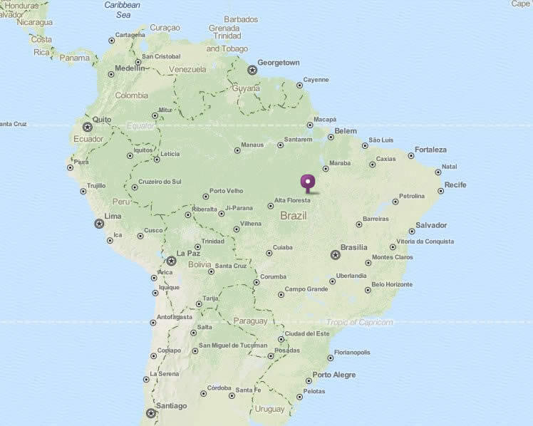
WHERE IS BRAZIL IN THE WORLD
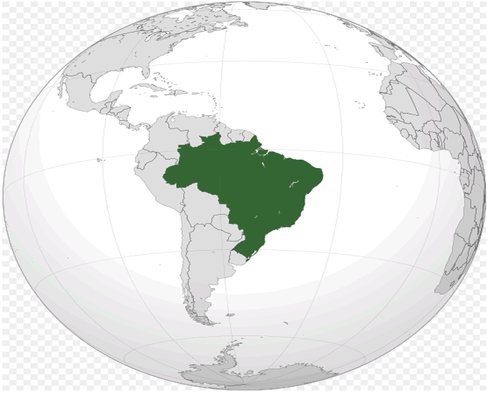
BRAZIL LOCATION MAP
Can I download a high-resolution map of Brazil ?
Yes. Download high-resolution political and physical maps of Brazil for personal or educational use. Redistribution is subject to the terms of our license.
- Capital : Brasília
- Population : 193,946,886
- GDP : $2.493 trillion (7th)
- Per Capita : $12,788 (53rd)
- Calling Code : +55
- Jobless Rate : 4.60%
- Time Zone : -2 ; -4
For more about Brazil >>
A Collection of Brazil Maps and Brazil Satellite Images
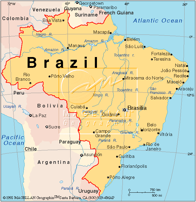
MAP OF BRAZIL
WHERE IS BRAZIL IN THE WORLD
BRAZIL LOCATION MAP
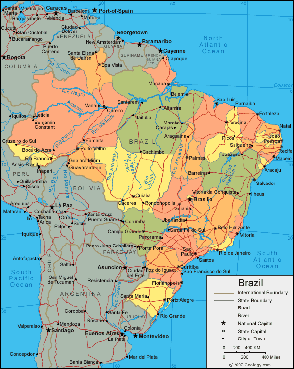
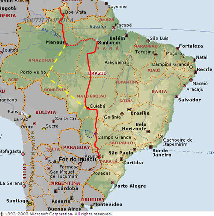
BRAZIL MAP
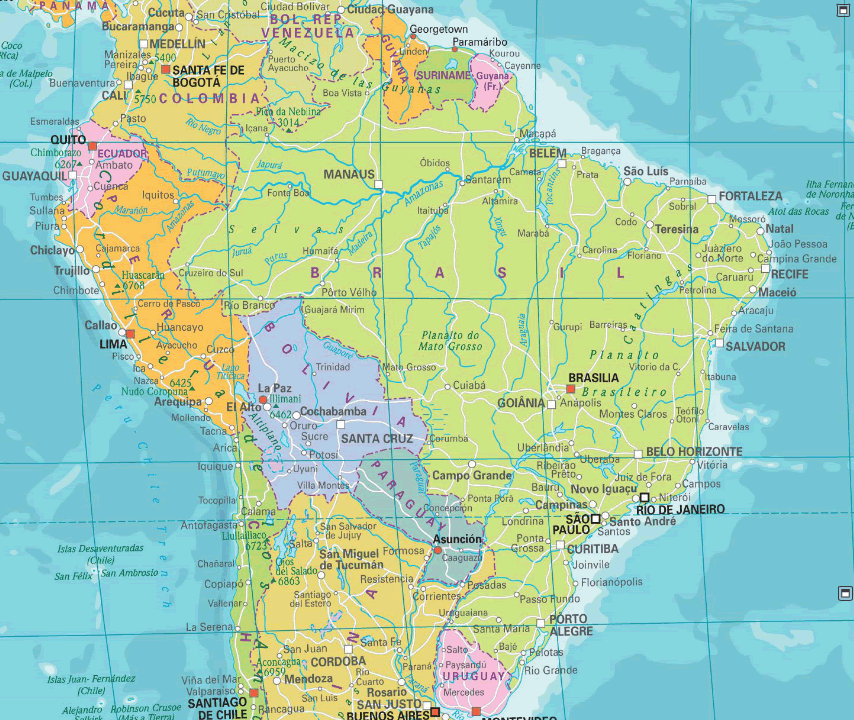
BRAZIL MAP
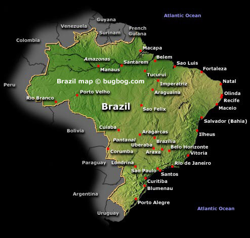
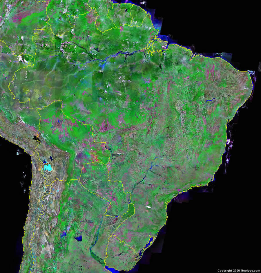
BRAZIL SATELLITE MAP
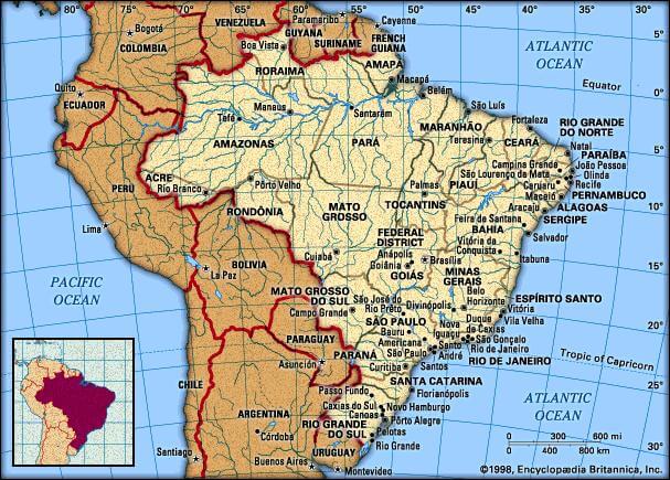
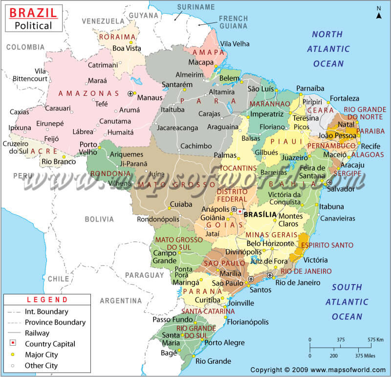
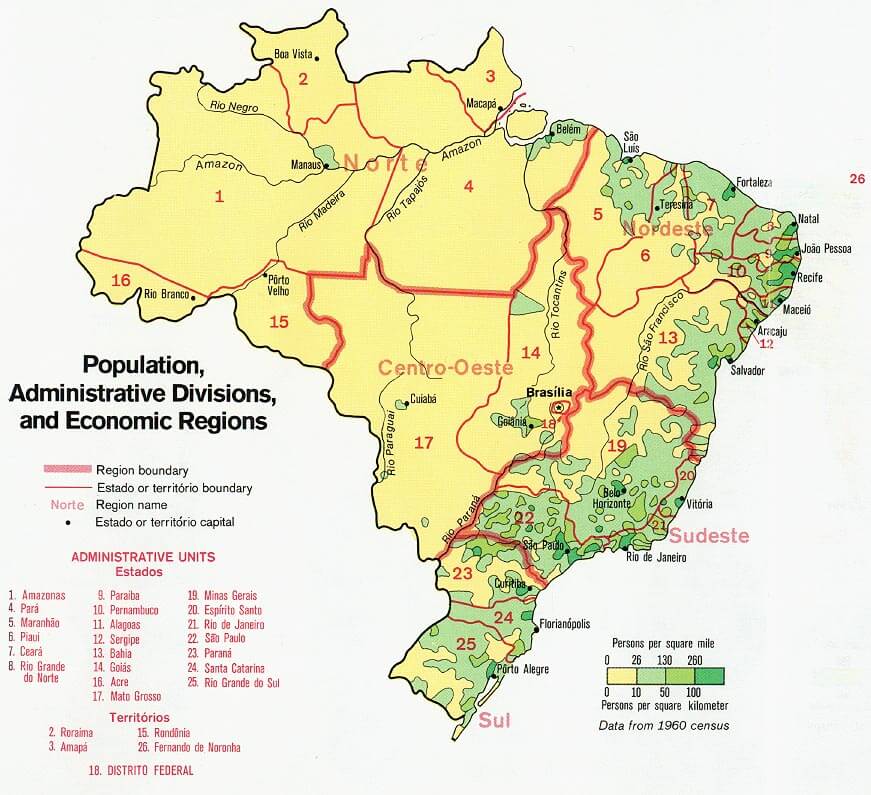
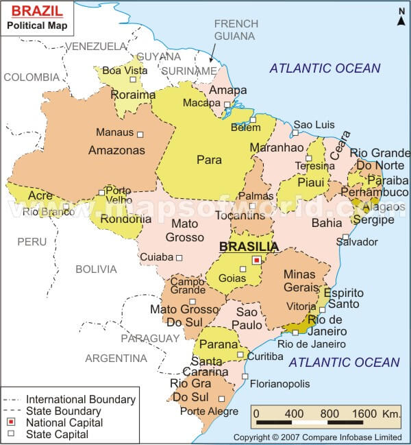
BRAZIL STATE MAP
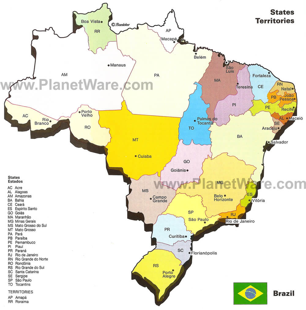
BRAZIL CITIES MAP
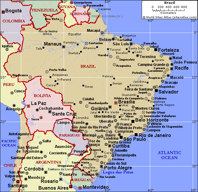
BRAZIL MAP

BRAZIL MAP SOUTH AMERICA
BRAZIL PHYSICAL MAP
BRAZIL POLITICAL MAP
BRAZIL POPULATION MAP
MAP OF BRAZIL
MAP OF BRAZIL
MAPS OF BRAZIL
POLITICAL BRAZIL MAP
REGIONS MAP OF BRAZIL
SATELLITE IMAGE OF BRAZIL
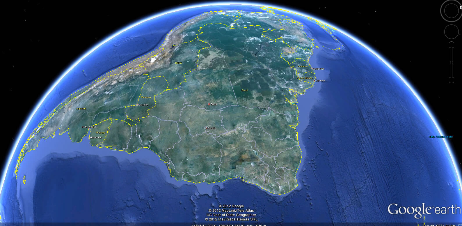
BRAZIL EARTH MAP
The 10 Best Places Visit for Rio de Janeiro
Please subscribe on "World Guide" channnel on Youtube at youtube.com/c/WorldGuide
Immerse Yourself in Sao Paulo 10 Best Unforgettable Attractions
Addresse: Hakarinne 2 Espoo, Uusimaa - Finland 02210
Web: istanbul-city-guide.com
Email: [email protected]
Web: istanbul-city-guide.com
Email: [email protected]
Copyright istanbul-city-guide.com - 2004 - 2026. All rights reserved. Privacy Policy | Disclaimer