Aland Islands Map and Aland Islands Satellite Images
Explore map of Aland Islands, Aland Islands map, cities map of Aland Islands, satellite images of Aland Islands, Aland Islands largest cities maps, political map of Aland Islands, driving directions, country atlas and traffic map.
Aland Islands Map FQA
How many cities are in Aland Islands ?
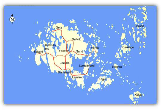
Åland Islands have one main city: Mariehamn. Other settlements are small villages.What are the major geographical features of Aland Islands ?
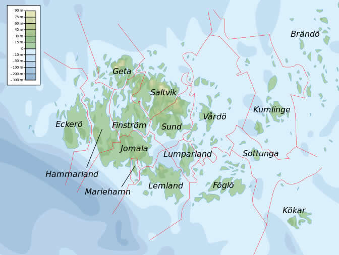
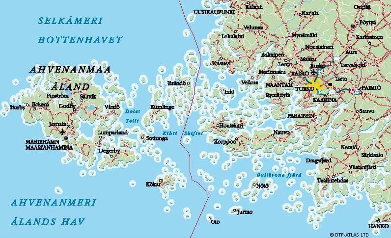
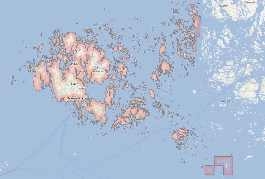
Åland Islands, an autonomous region of Finland in the Baltic Sea, consist of an archipelago of over 6,700 islands. The geography includes rocky shores, dense forests, and small lakes, with low-lying terrain shaped by glaciers.HISTORICAL PROVINCE OF ALAND IN FINLAND
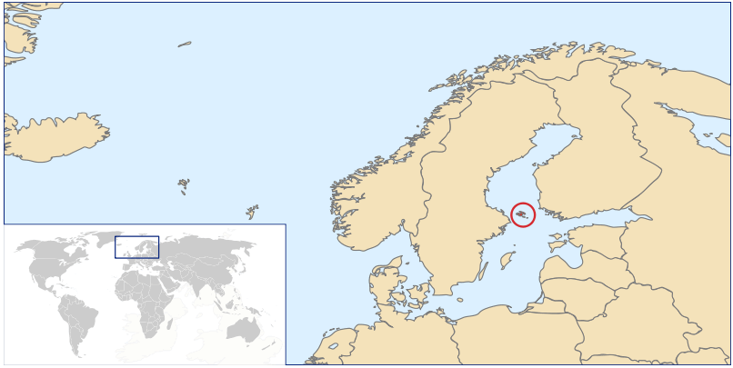
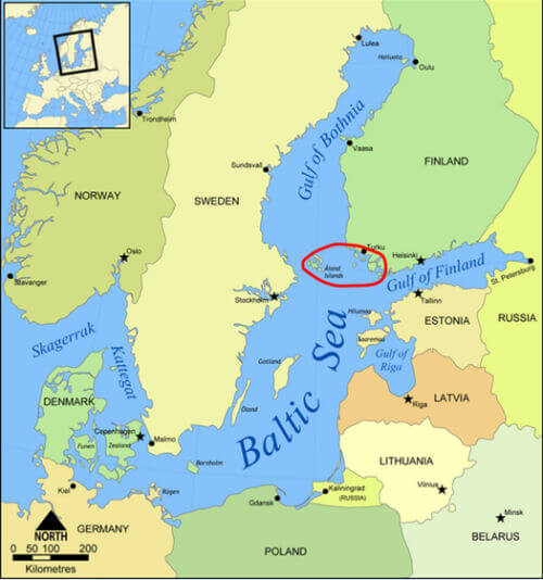
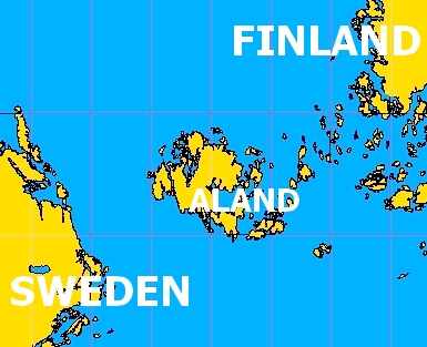
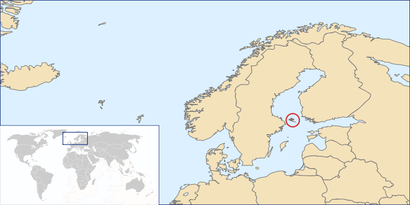
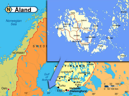
WHERE IS ALAND ISLANDS IN THE WORLD
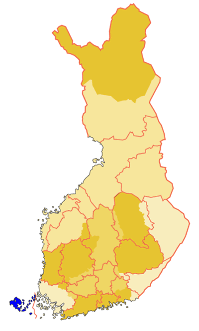
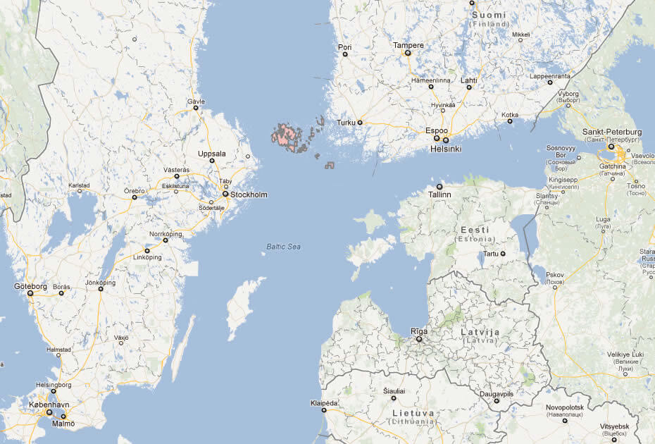
HISTORICAL PROVINCE OF ALAND IN FINLAND
Can I download a high-resolution map of Aland Islands ?
Yes. Download high-resolution political and physical maps of Aland Islands for personal or educational use. Redistribution is subject to the terms of our license.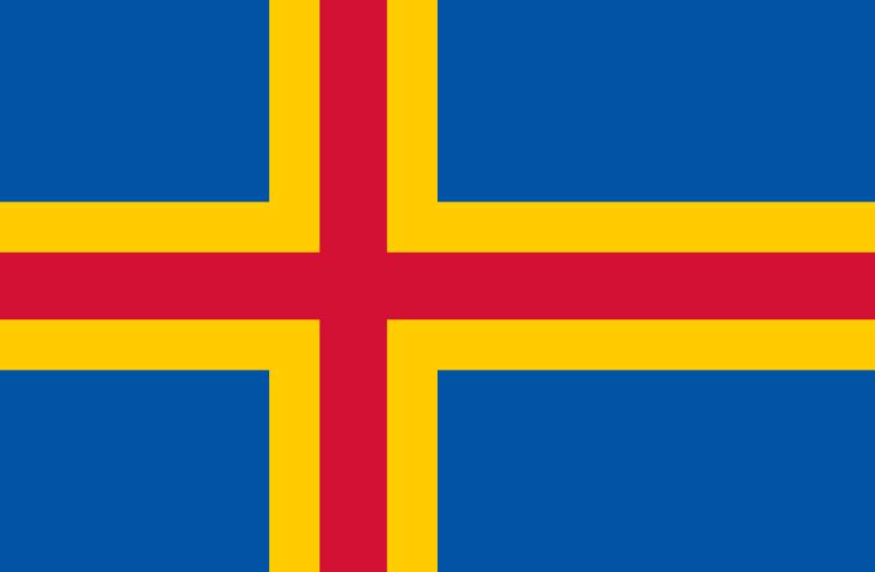
- Capital : Mariehamn
- Population : 28,355
- GDP : $1.563 billion (2007)
- Per Capita : $55,829
- Calling Code : +358
- Jobless Rate : N/A
- Time Zone : +2
For more about Aland Islands >>
A Collection of Aland Islands Maps and Aland Islands Satellite Images
ALAND ISLANDS POLITICAL MAP
WHERE IS ALAND ISLANDS IN THE WORLD
HISTORICAL PROVINCE OF ALAND IN FINLAND
ALAND ISLANDS EARTH MAP
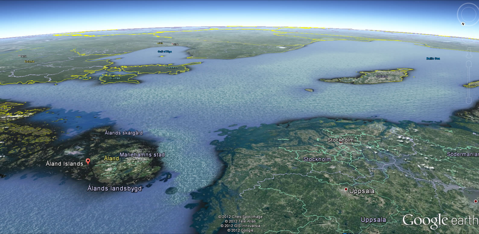
ALAND ISLANDS MAP BALTIC REGION
ALAND ISLANDS MAP
ALAND ISLANDS MAP
ALAND ISLANDS
ALAND ISLANDS MAP
ALAND ISLANDS MAP SWEDEN FINLAND
ALAND ISLANDS WORLD MAP
MAP OF ALAND ISLANDS
MAP OF ALAND ISLANDS
Addresse: Hakarinne 2 Espoo, Uusimaa - Finland 02210
Web: istanbul-city-guide.com
Email: [email protected]
Web: istanbul-city-guide.com
Email: [email protected]
Copyright istanbul-city-guide.com - 2004 - 2026. All rights reserved. Privacy Policy | Disclaimer