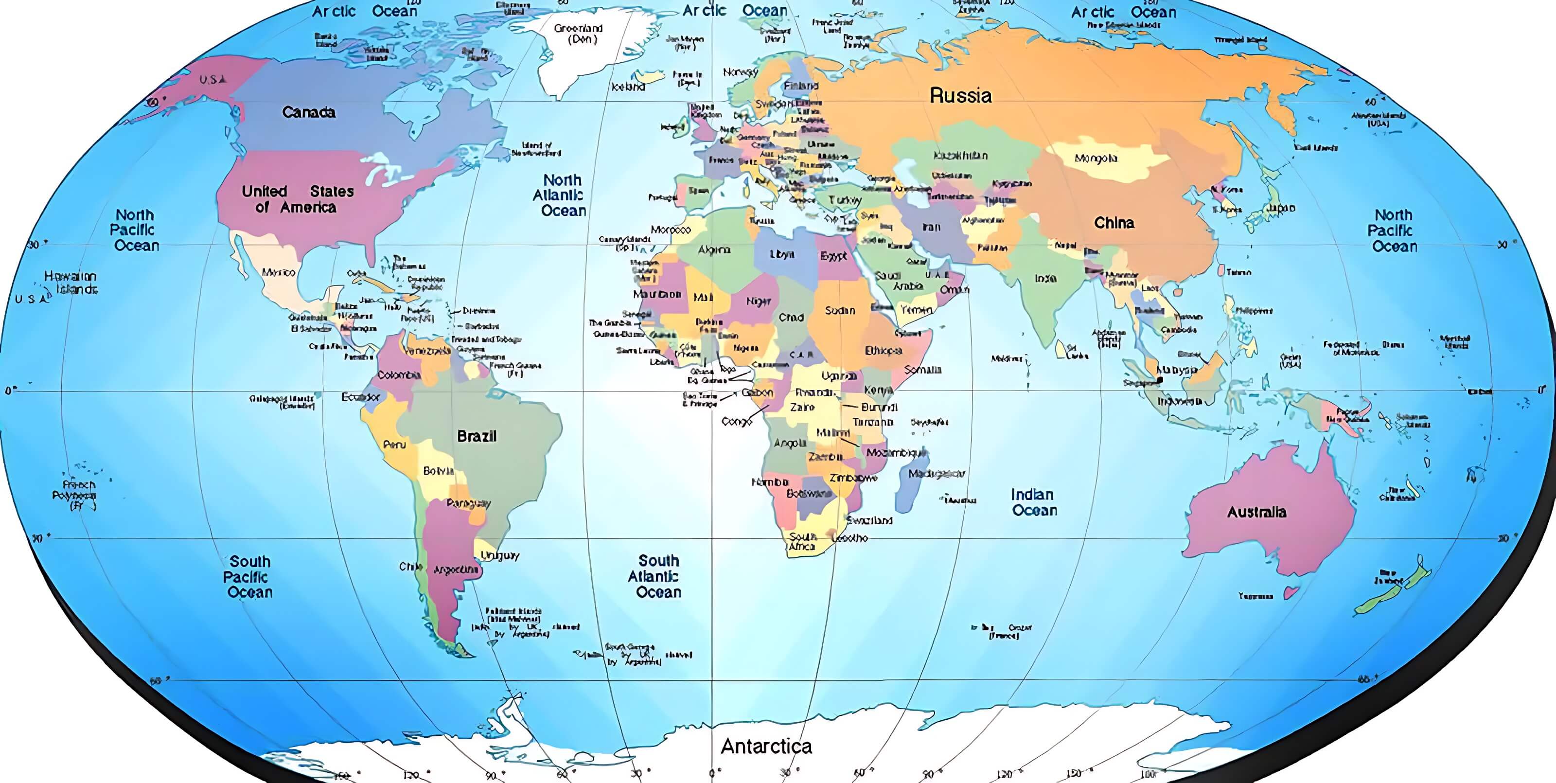
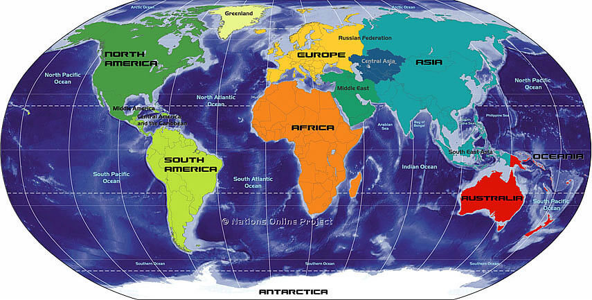
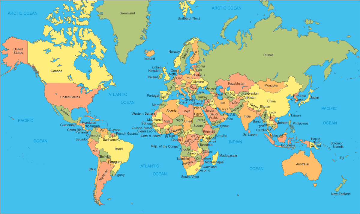
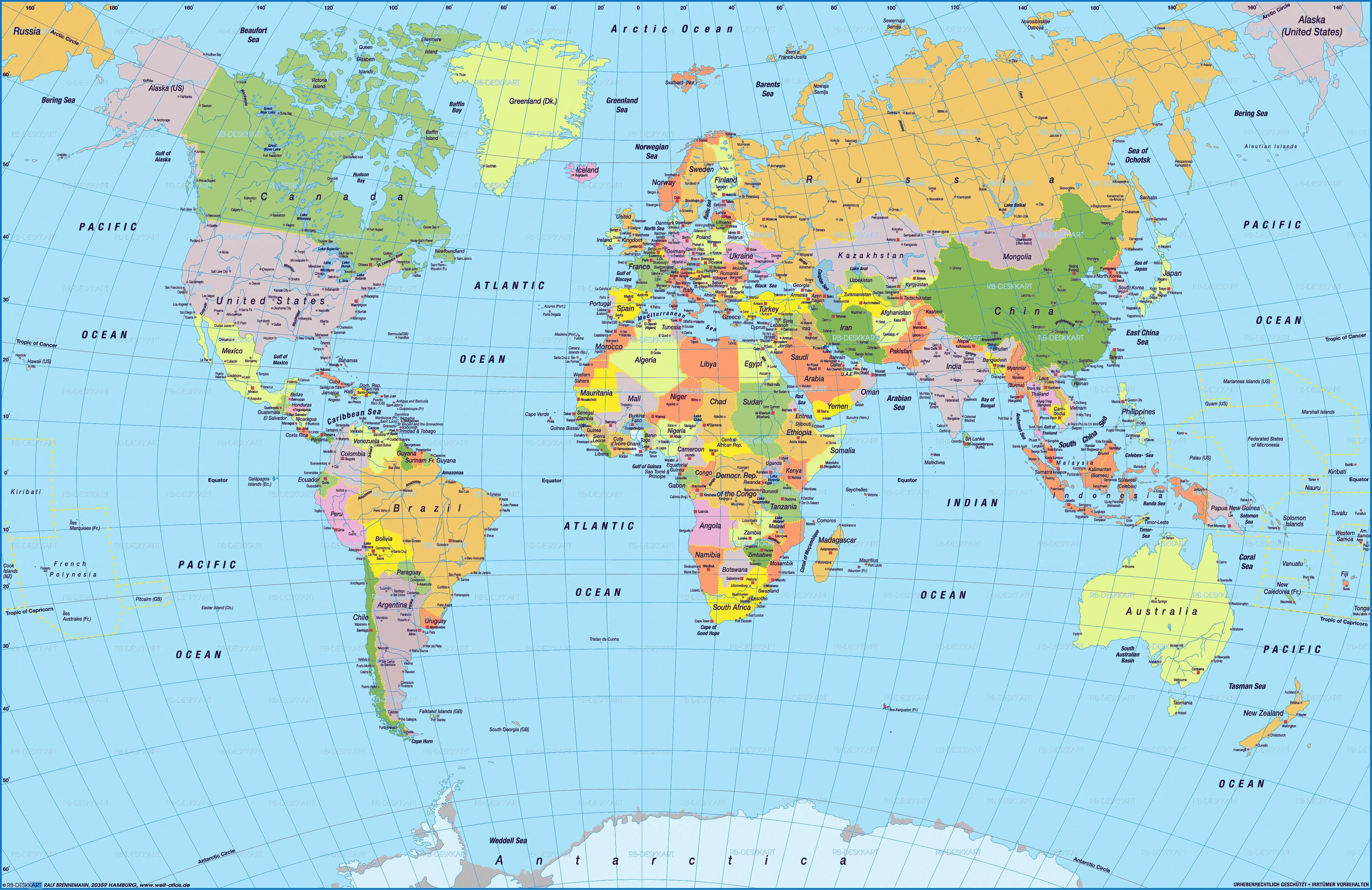
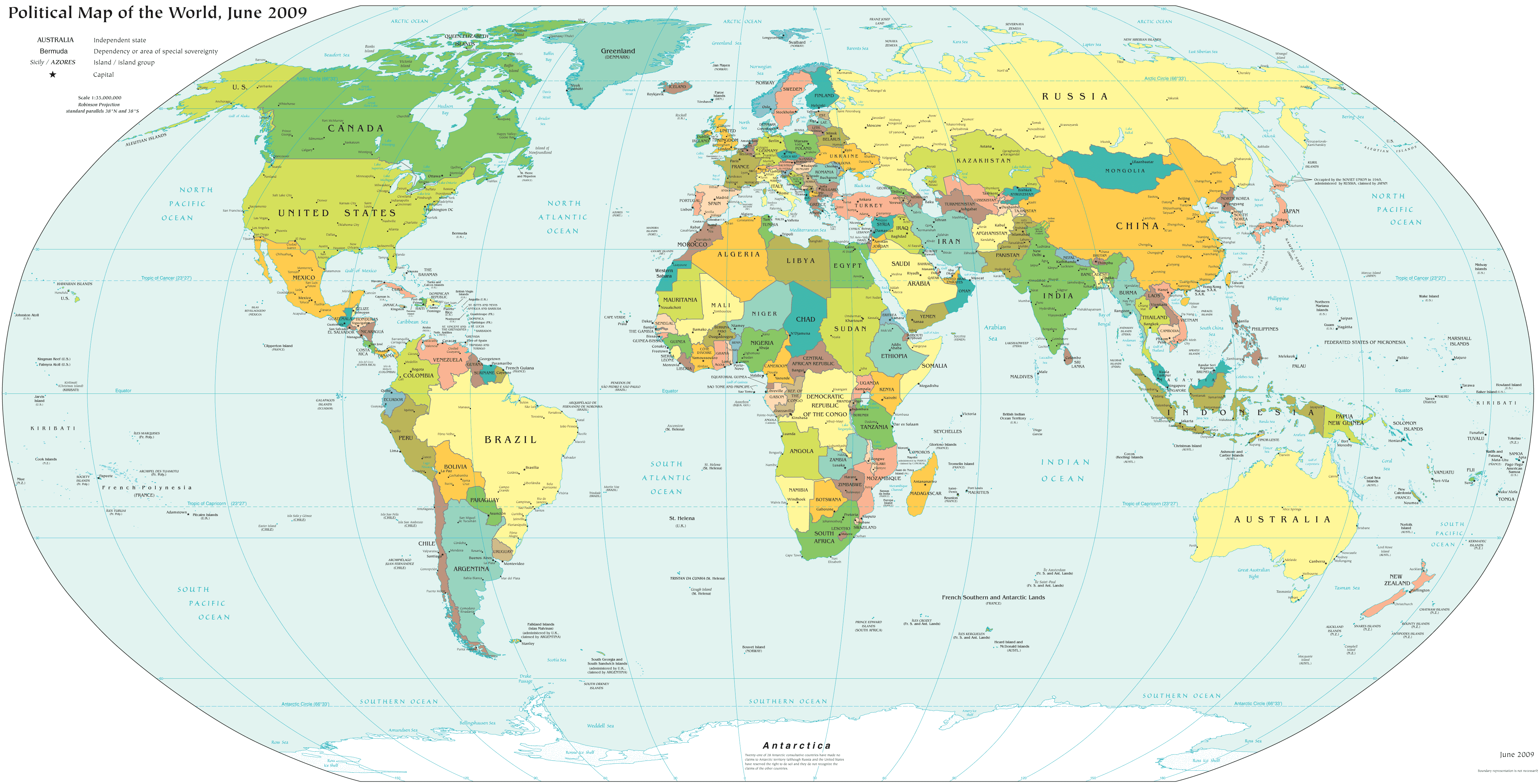
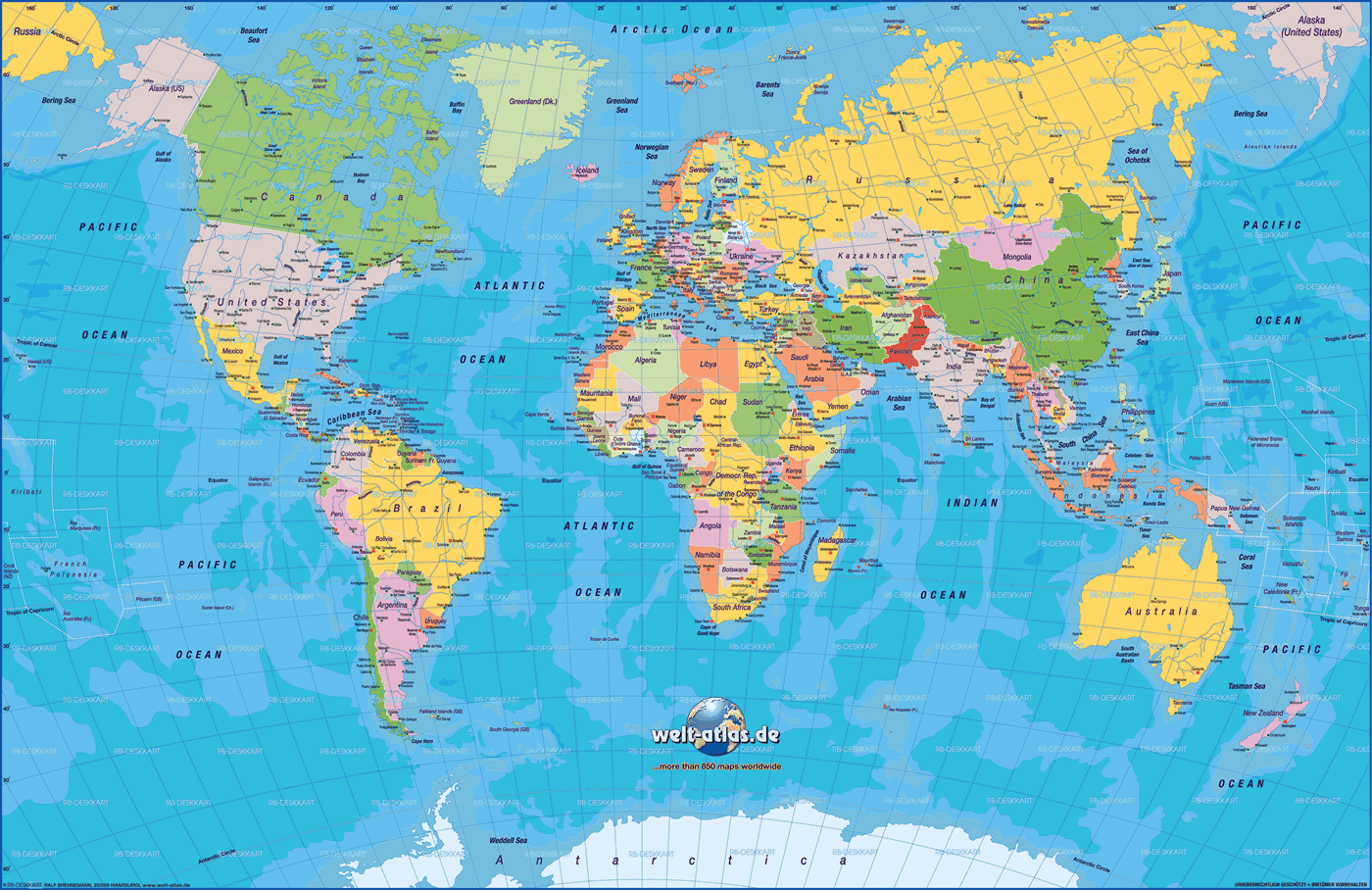
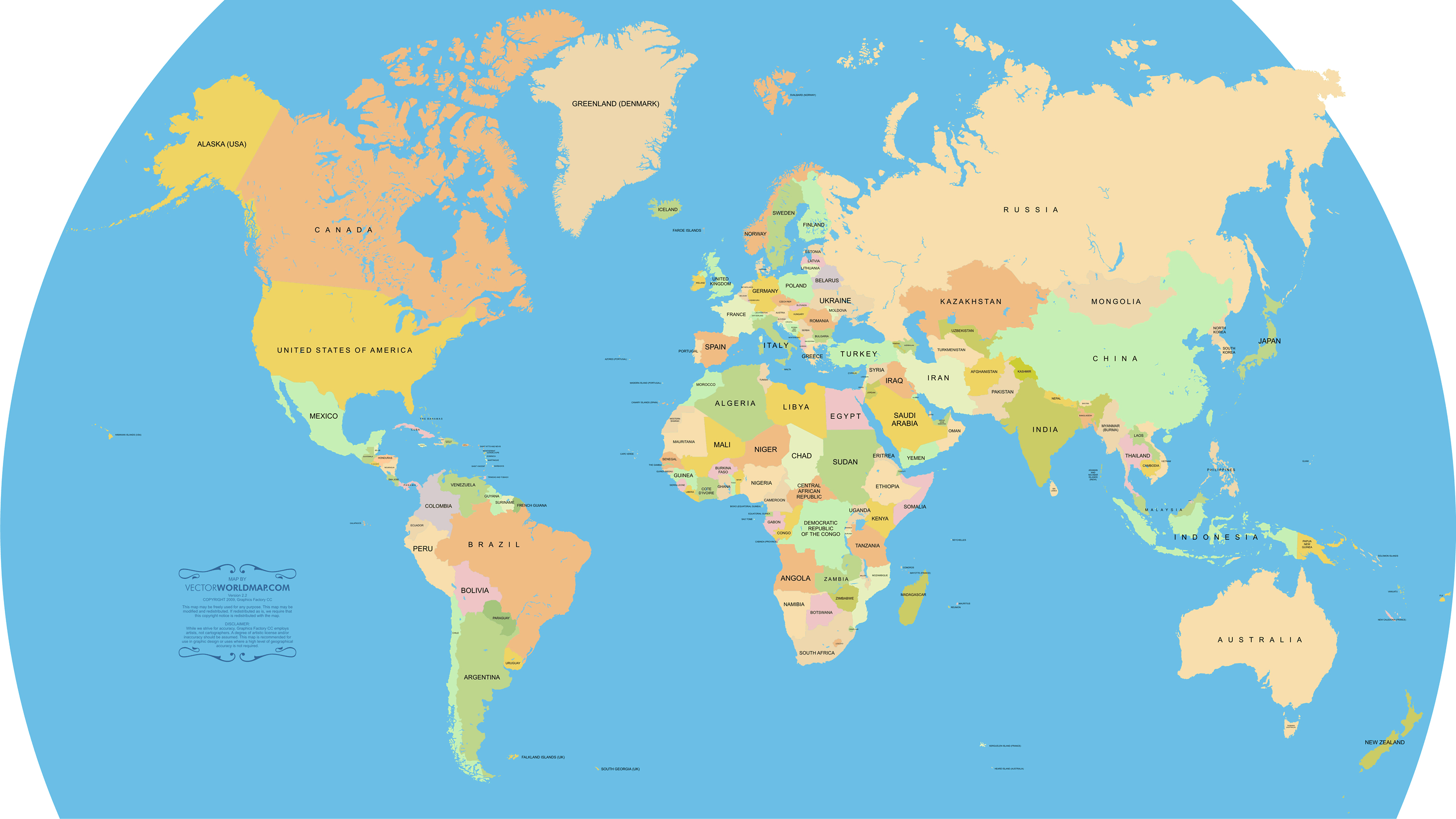
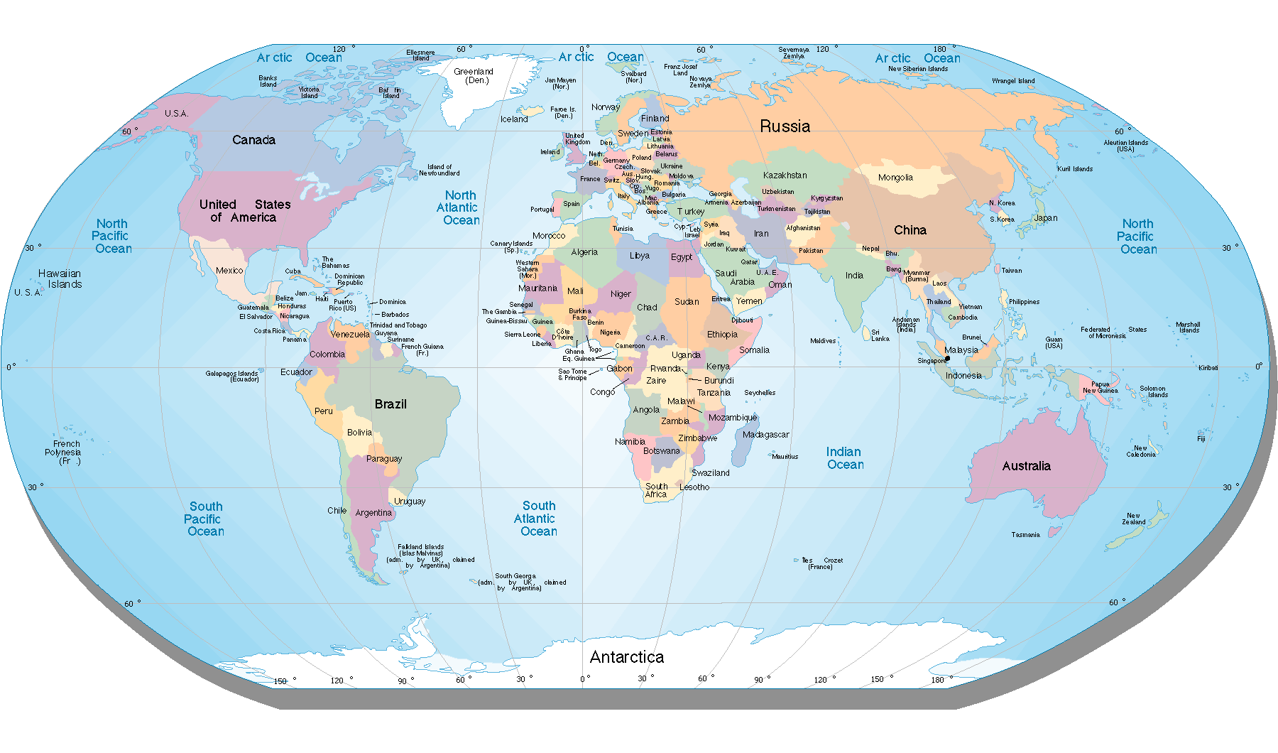
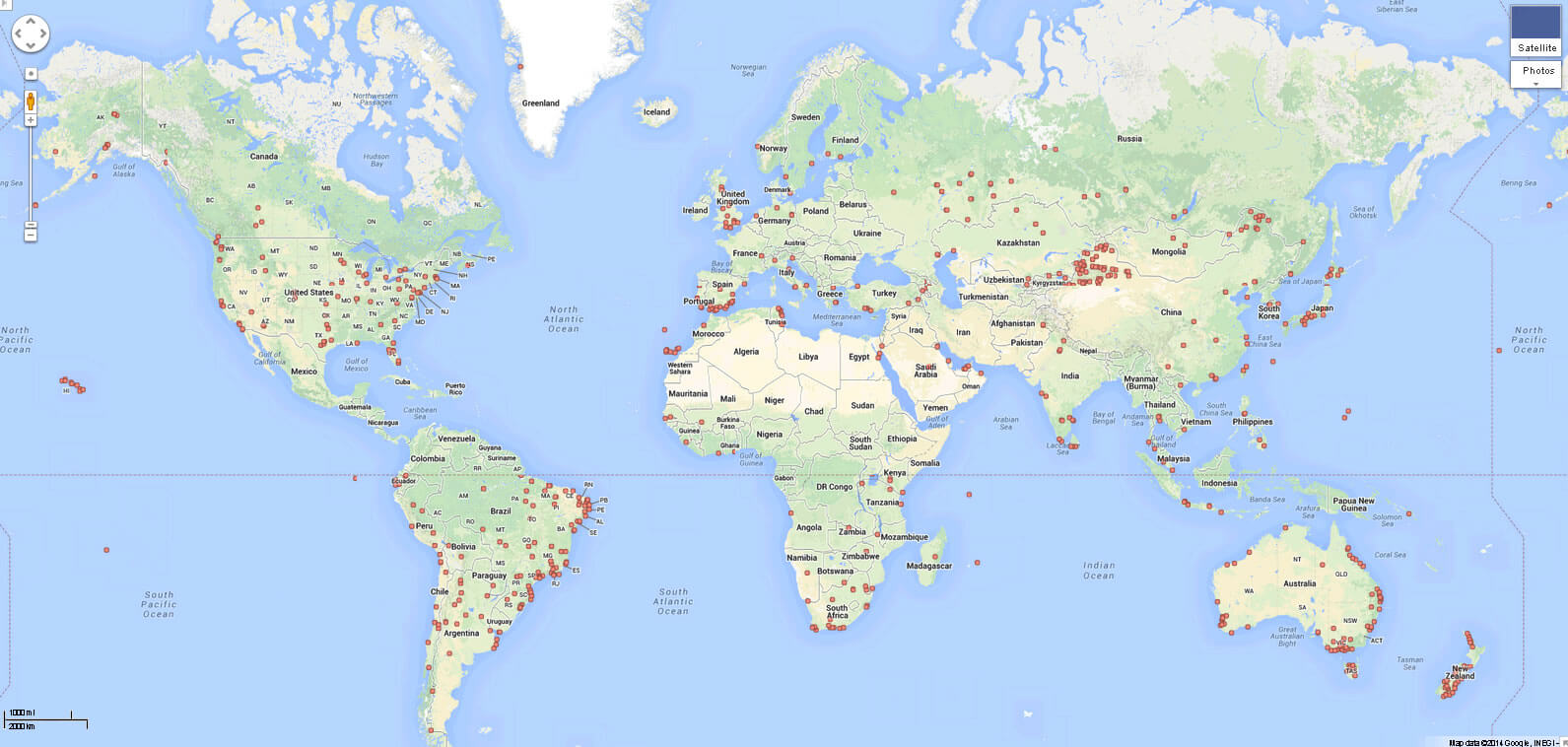
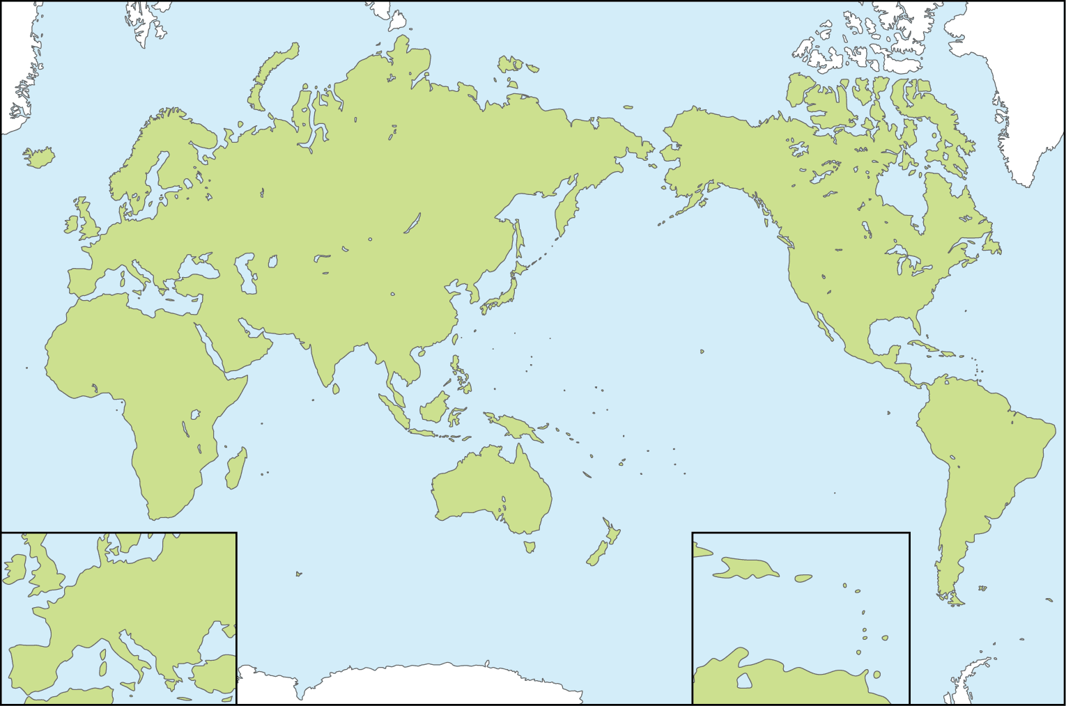
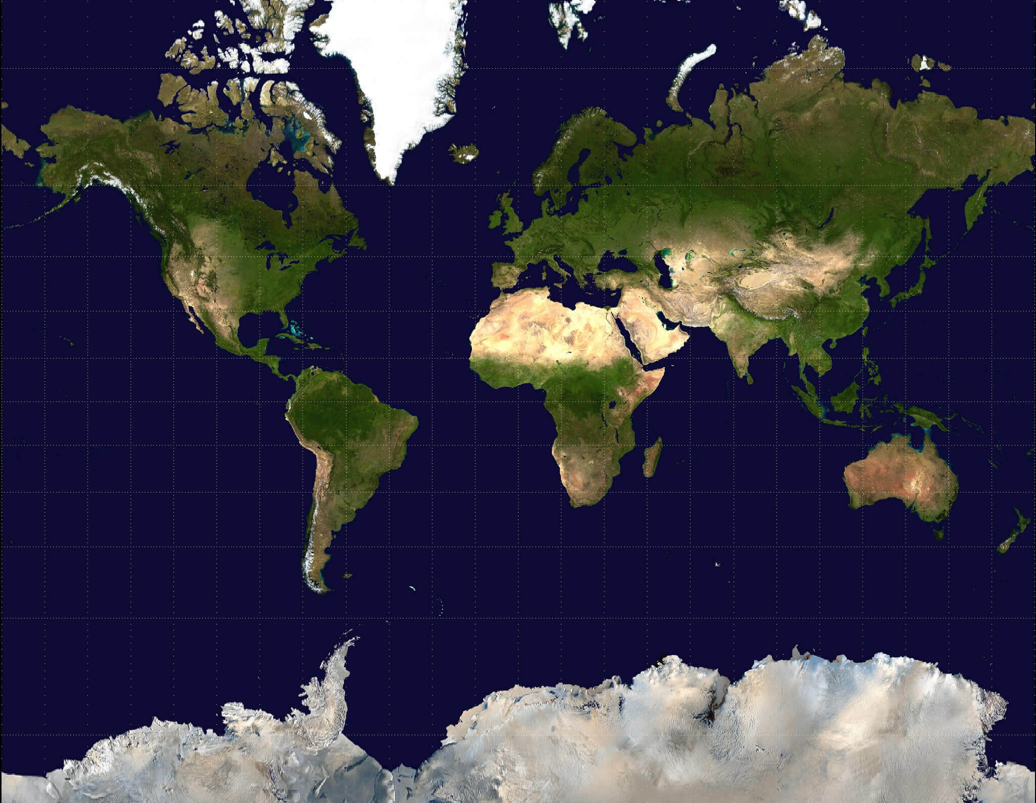
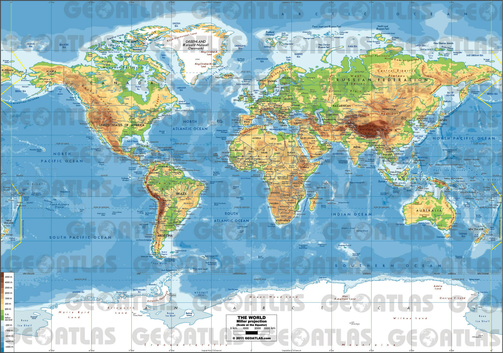
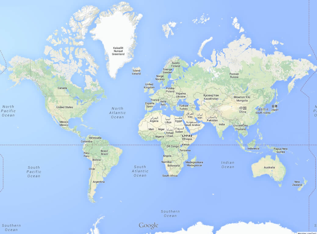
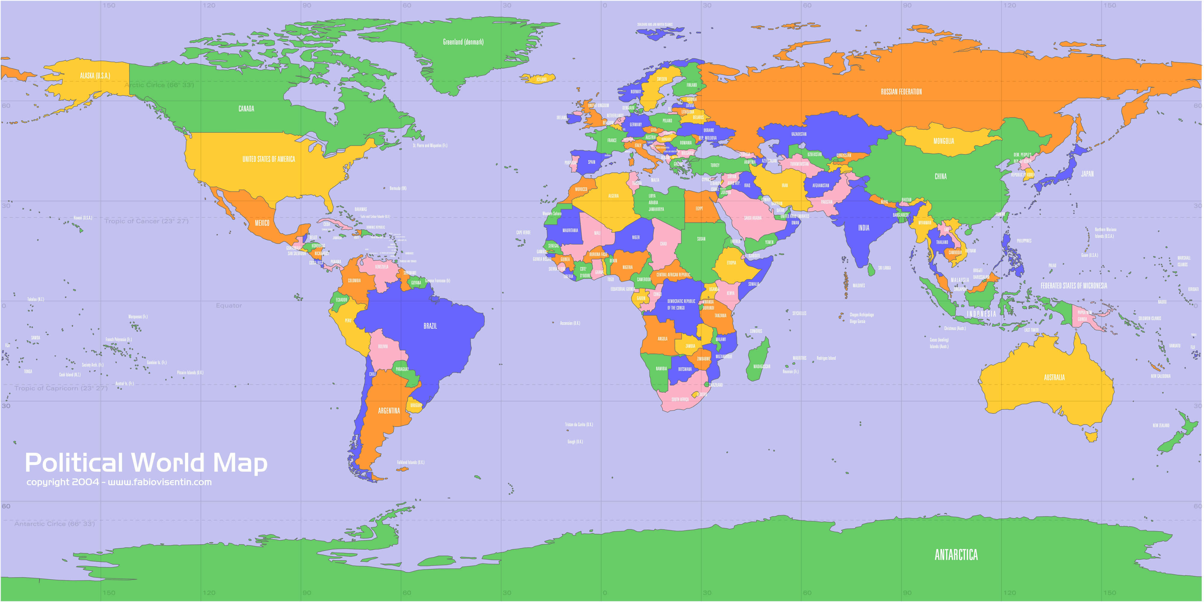
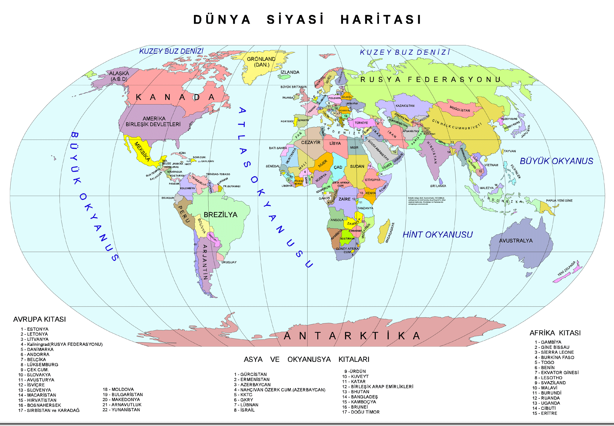
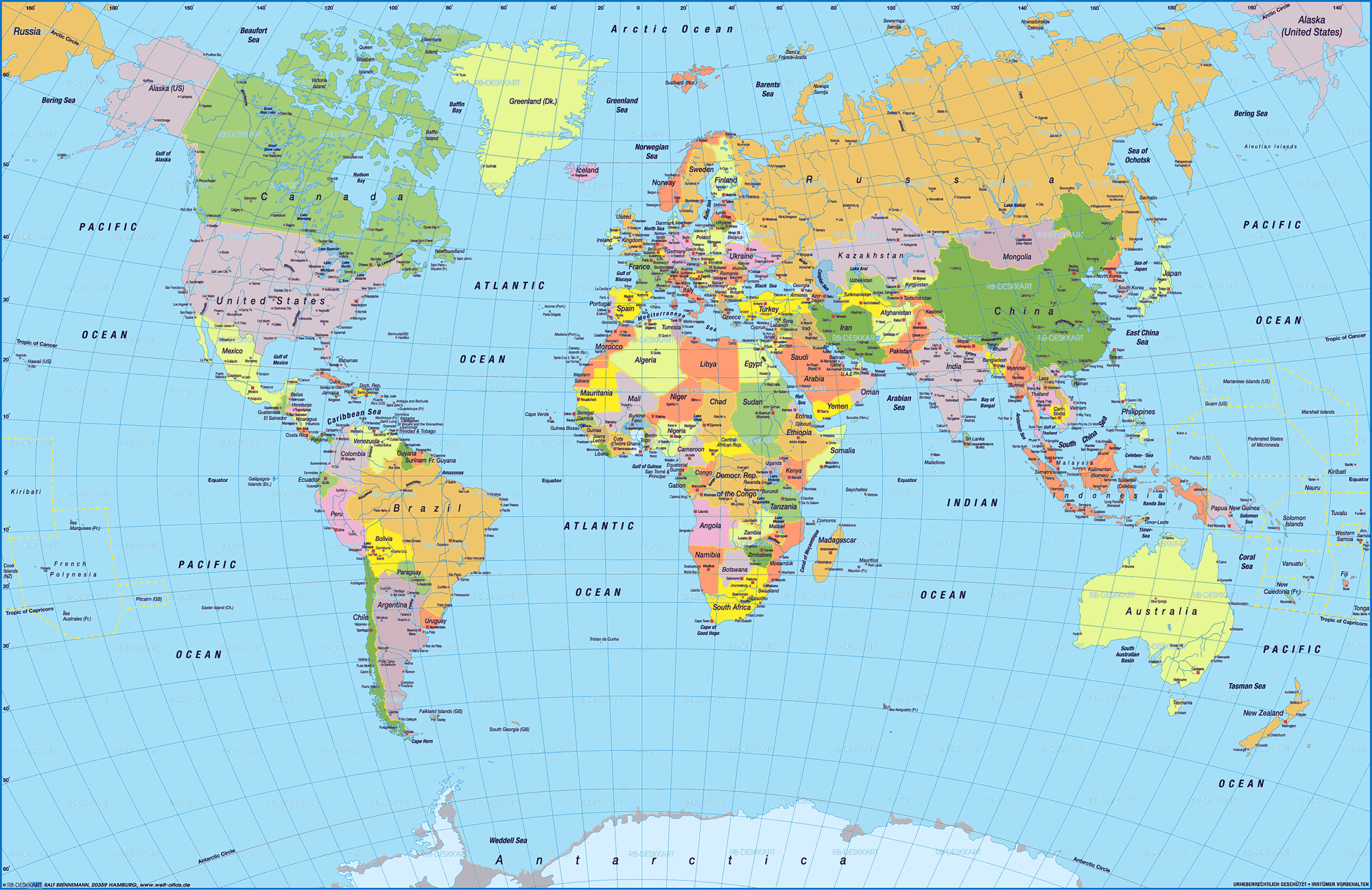
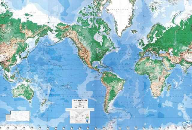
Explore Map of World, World Map, world countries map, satellite images of the World, World largest cities maps, political map of World, driving directions and traffic map. For more maps and satellite images please follow the page.
World regional highways maps, leaflets, road situations, transportation, lodging, guide, geographical, physical information can be found with World interactive map. With World Map all states, regions, cities, towns, districts, avenues, streets and popular centers' satellite, sketch and terrain views are available.
You can find desired maps by entering country, city, town, region or village names regarding under search criteria. On upper left Map of World (+) beside zoom in and (-) sign to to zoom out via the links you can visit. World Map move the mouse over it via (left click) and clicking the image you can drag. Right upper Map, Satellite, Terrain icons via the map view, satellite, hybrid and mixed land can switch between images.