
Alanya Map
Navigate Alanya map, Alanya country map, satellite images of Alanya, Alanya largest cities, towns maps, political map of Alanya, driving directions, physical, atlas and traffic maps.
Find desired maps by entering country, city, town, region or village names regarding under search criteria. On upper left Map of Alanya (+) beside zoom in and (-) sign to to zoom out via the links you can visit. Alanya Map move the mouse over it via (left click) and clicking the image you can drag. Right upper Map, Satellite, Terrain icons via the map view, satellite, hybrid and terrain map can be switch between images.
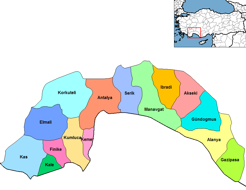
Alanya District Maps
See Also
Turkey Largest Cities Map by Population
Karabuk Map Karaman Map Kars Map Kastamonu Map Kayseri Map Kirikkale Map Kirklareli Map Kirsehir Map Kilis Map Kocaeli Map Konya Map Kutahya Map Malatya Map Manisa Map Mardin Map Mugla Map Mus Map Nevsehir Map Nigde Map Ordu Map
Addresse: Kemalpasa Mh. Uzum Sk No:4/15 Kucukcekeme, Istanbul
Web: Istanbul-City-Guide.com
Email: [email protected]
Web: Istanbul-City-Guide.com
Email: [email protected]
Copyright Istanbul-City-Guide.com - 2004 - 2023. All rights reserved. Privacy Policy | Disclaimer